The best road cycling routes in Galada Tamboore And Marran Baba Parklands
4.0
(15)
1,131
riders
32
rides
Road cycling routes in Galada Tamboore And Marran Baba Parklands traverse a landscape shaped by basalt escarpments and the Merri Creek. This region, encompassing over 2,700 hectares, features extensive grasslands and native scrub, offering diverse scenery for cyclists. A developing network of sealed and gravel paths provides varied riding experiences, building upon the established Merri Creek Trail. The topography includes low escarpments and open plains, making it suitable for different road cycling abilities.
Best road cycling routes in Galada Tamboore…
Last updated: July 12, 2026
1.0
(1)
5
riders
25.7km
01:16
100m
100m
Easy road ride. Great for any fitness level. Mostly well-paved surfaces and easy to ride.
51
riders
84.6km
03:49
680m
680m
Moderate road ride. Good fitness required. Some segments of this route may be unpaved and difficult to ride.

Sign up for free
2.5
(2)
36
riders
39.2km
02:06
220m
220m
Moderate road ride. Good fitness required. Some segments of this route may be unpaved and difficult to ride.
12
riders
47.3km
02:24
220m
220m
Moderate road ride. Good fitness required. Mostly well-paved surfaces and easy to ride.
5.0
(1)
5
riders
16.4km
00:52
80m
80m
Easy road ride. Great for any fitness level. Mostly well-paved surfaces and easy to ride.
Get access to more routes and recommendations from other explorers.
Sign up for free
Already have an account?
Our route recommendations are based on thousands of hikes, rides, and runs completed by other people on komoot.
Start today with a free account
Your next adventure awaits.
Login or Signup
Popular around Galada Tamboore And Marran Baba Parklands

Tips from the Community

Merri Creek Trail winds though reserves and greenspaces within the urban Melbourne. It's a flat, shared track for walkers, cyclists, joggers. The trail follows the Merri Creek, with nice views of the river from under the shade of the eucalyptus trees along the way. The entire Merri Creek Trail spans 21 kilometres one way, but has tons of entry and exit points, making it a trail that can be popped into at any section.
0
0
The Harding Street Bridge is part of the Merri Creek Trail, and brings hikers and bikers over Merri Creek. This suspension bridge is a bit squeaky, but totally safe, and sways as you walk across the narrow bridge. Bikers are asked to dismount their bikes to cross and be careful as the bridge can become slippery after rain.
0
0
This pedestrian bridge over the Yarra River is part of the Darebin Creek Trail. Stop and look over the edge to get great views of the Yarra on its 242-kilometer journey from Mount Baw Baw to Port Phillip Bay.
0
0

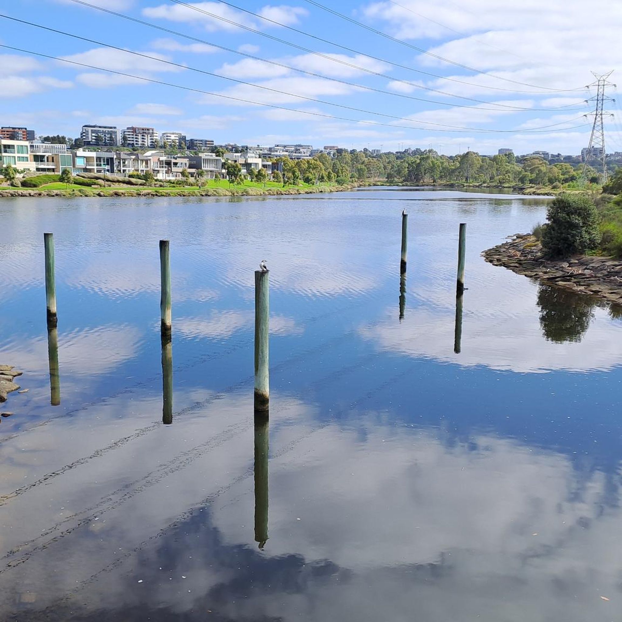
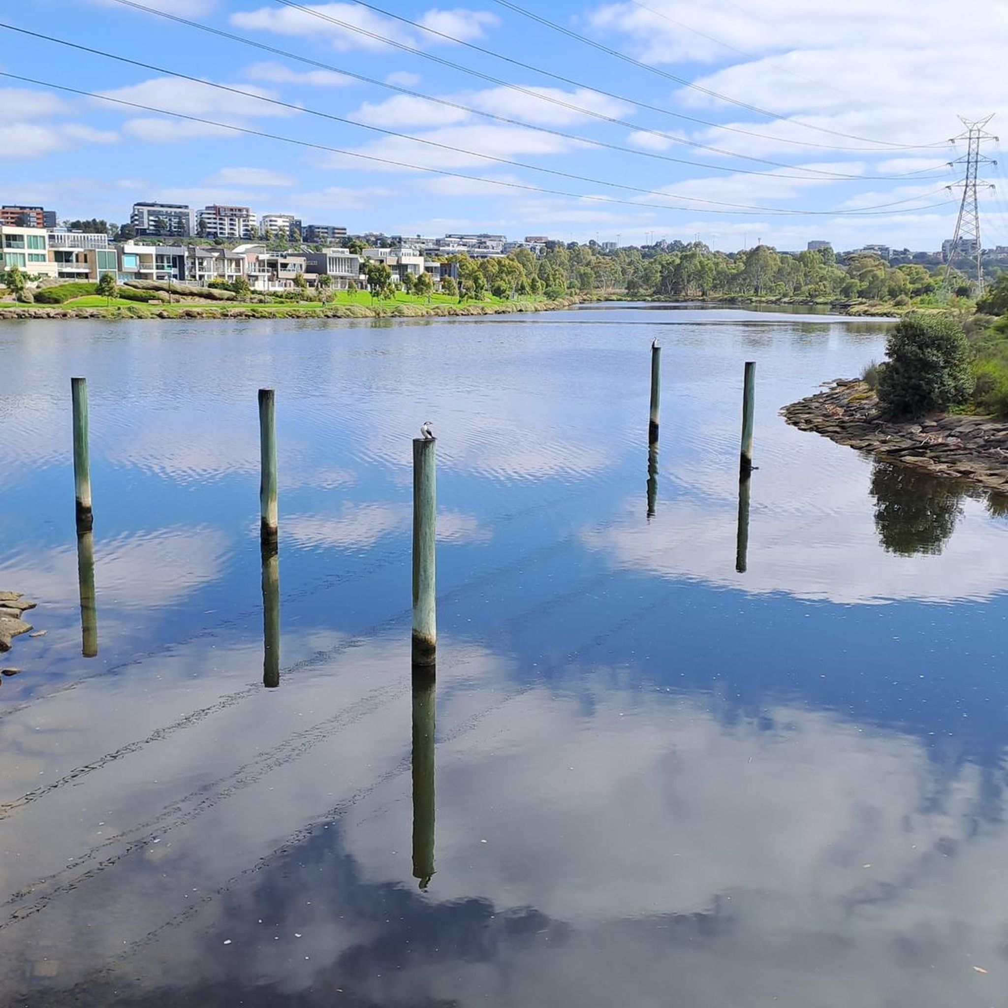
Darebin Creek is a picturesque waterway in Melbourne’s northern suburbs that flows south from near South Morang toward the Yarra River at Alphington. It runs through a mix of urban parklands, wetlands, and remnant bushland, forming an important green corridor in an otherwise built-up area. Sections of the creek have been heavily modified over time, but many parts now support restored vegetation and local wildlife within surrounding reserves and trails.
0
0
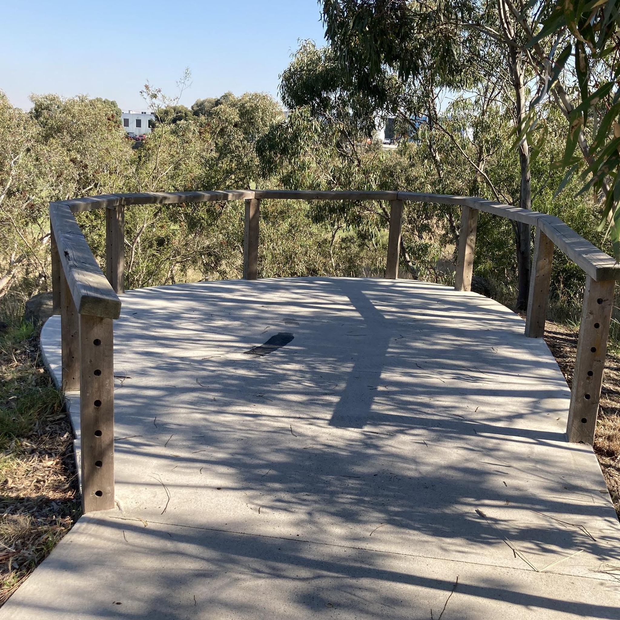
Darebin Parklands is a beautiful bushland reserve in Alphington set within a natural bend of Darebin Creek. Surrounded by red gum woodland, the walking tracks and open grassy areas create a peaceful natural pocket close to the inner city. The parklands are also important for birdlife and ecological restoration, with ongoing efforts to protect and re-establish native vegetation along the creek corridor.
0
0
Darebin Creek Trail is a popular shared walking and cycling path in Melbourne’s northern suburbs that follows Darebin Creek for about 25 kilometres from near the Yarra River up toward Epping and South Morang. It passes through a mix of bushland reserves, wetlands, parks, and suburban areas, including places like Darebin Parklands, Preston, Reservoir, and Bundoora Park. The trail is mostly flat and is a lovely mix of natural sections near the creek and urban settings closer to residential and industrial locations.
0
0
Abrahams Reserve is a quiet stretch of parkland along Merri Creek, where the trail passes through open lawns and shady trees along the water. The reserve forms part of the more expansive Merri Creek parklands, providing space to pause beside the creek and enjoy the surrounding greenery. With views across the creek corridor and easy access from the trail, it’s a peaceful spot to rest before continuing along the path.
0
0
The Merri Creek Trail runs roughly 21 kilometres, winding the course of Merri Creek through a long corridor of parklands, wetlands and native vegetation north of Melbourne’s inner suburbs. This shared path is popular for walking, running and cycling, with mostly flat sealed sections that pass beneath bridges and alongside grassy creek banks. Along the way, there are plenty of pockets of bushland and restored habitat that support a variety of birdlife and native plants. There are several access points, making it an ideal path for a short or extended walk to enjoy the outdoors.
0
0
Frequently Asked Questions
How many road cycling routes are available in Galada Tamboore And Marran Baba Parklands?
There are over 35 road cycling routes to explore in Galada Tamboore And Marran Baba Parklands. These routes offer a range of experiences, from easy loops to more challenging rides, traversing diverse landscapes shaped by basalt escarpments and the Merri Creek.
What kind of terrain can I expect on road cycling routes in Galada Tamboore And Marran Baba Parklands?
The parklands feature varied terrain, including basalt escarpments, extensive grasslands, and native scrub along the Merri Creek. You'll find a developing network of both sealed and gravel paths, offering different riding surfaces. The topography includes low escarpments and open plains, providing scenic views.
Are there road cycling routes suitable for beginners in the parklands?
Yes, there are 16 easy road cycling routes available. A great option for beginners is the Cat Mural loop from Gowrie, which is a pleasant 25.6 km ride through local areas.
Are there challenging road cycling routes for experienced riders in the parklands?
For more experienced riders, there are 18 moderate routes and 1 difficult route. The Airport Kangaroo Reserve – CX Course loop from Fawkner is a popular moderate option, covering 83.8 km with varied terrain, including sections near the Merri Creek.
Are the road cycling routes in Galada Tamboore And Marran Baba Parklands suitable for families?
Yes, the parklands are developing to be very family-friendly. Whittlesea Public Gardens, a major gateway, offers amenities like playgrounds and nature play areas. Future plans include a dedicated learn-to-ride area, making it an excellent destination for families to cycle together.
What natural features or landmarks can I see while cycling in the parklands?
Cyclists can enjoy views of dramatic basalt escarpments formed by the Merri Creek, extensive grasslands, and native scrub. The Merri Creek itself is a central feature, supporting diverse habitats. The parklands also hold significant Aboriginal cultural importance to the Wurundjeri Woi-wurrung people.
Are there loop road cycling routes in Galada Tamboore And Marran Baba Parklands?
Yes, many of the routes are designed as loops. For example, the Darebin Parklands – Winding Eucalyptus Path loop from Thomastown offers a 39.9 km ride through parklands and natural areas. Planned improvements aim to create more loop tracks, such as around Galada Tamboore, for enhanced accessibility.
What is the best time of year for road cycling in this region?
The region generally offers good cycling conditions for much of the year. Consider visiting during the milder seasons like autumn or spring for comfortable temperatures and to enjoy the natural beauty of the grasslands and creek environments.
Where can I find parking for road cycling in Galada Tamboore And Marran Baba Parklands?
Whittlesea Public Gardens serves as a convenient starting point and gateway into the parklands, offering amenities that typically include parking facilities. As the trail network expands, more access points with parking are being developed to support visitors.
Can I access the road cycling trails using public transport?
The parklands are part of Melbourne's north, and efforts are being made to improve connectivity. While specific public transport links directly to trailheads may vary, the ongoing development of the trail network aims to integrate with broader transport options. It's advisable to check local public transport routes to the general area.
What do other road cyclists enjoy most about road cycling in Galada Tamboore And Marran Baba Parklands?
The area is highly rated by the komoot community, with an average score of 3.8 stars from over 25 reviews. Cyclists often praise the varied terrain, the developing network of paths, and the scenic views of the basalt escarpments and Merri Creek.
Are there any cafes or amenities near the road cycling routes?
Whittlesea Public Gardens, a key entry point to the parklands, offers amenities such as playgrounds and nature play areas, and is a good place to start or finish your ride. For cafes and other services, you would typically find them in the nearby urban areas surrounding the parklands.
Most popular routes in Galada Tamboore And Marran Baba Parklands

Get inspired with the komoot mobile app


Explore more
Browse the best Road cycling routes in other regions.
