The best road cycling routes in Moggill Conservation Park
5.0
(4)
232
riders
11
rides
Road cycling in Moggill Conservation Park offers routes through a diverse bushland reserve characterized by a network of management roads. The park features a combination of ridges and gullies, with trails traversing dry eucalypt forest and riparian rainforest along creeks. From higher points, road cyclists can experience panoramic views stretching towards Brisbane City and Ipswich. The terrain provides varying levels of challenge, with some sections including steep hills.
Best road cycling routes in Moggill Conservation Park
- The most popular road…
Last updated: July 4, 2026
24
riders
30.2km
01:40
480m
480m
Moderate road ride. Good fitness required. Mostly well-paved surfaces and easy to ride.
9
riders
49.8km
02:51
760m
760m
Moderate road ride. Good fitness required. Some segments of this route may be unpaved and difficult to ride.

Sign up for free
85
riders
31.2km
01:37
310m
310m
Moderate road ride. Good fitness required. Some segments of this route may be unpaved and difficult to ride.
5.0
(1)
14
riders
29.7km
01:34
220m
220m
Easy road ride. Great for any fitness level. Mostly well-paved surfaces and easy to ride.
5.0
(1)
7
riders
29.3km
01:30
290m
290m
Easy road ride. Great for any fitness level. Mostly well-paved surfaces and easy to ride.
Get access to more routes and recommendations from other explorers.
Sign up for free
Already have an account?
Our route recommendations are based on thousands of hikes, rides, and runs completed by other people on komoot.
Start today with a free account
Your next adventure awaits.
Login or Signup
Popular around Moggill Conservation Park
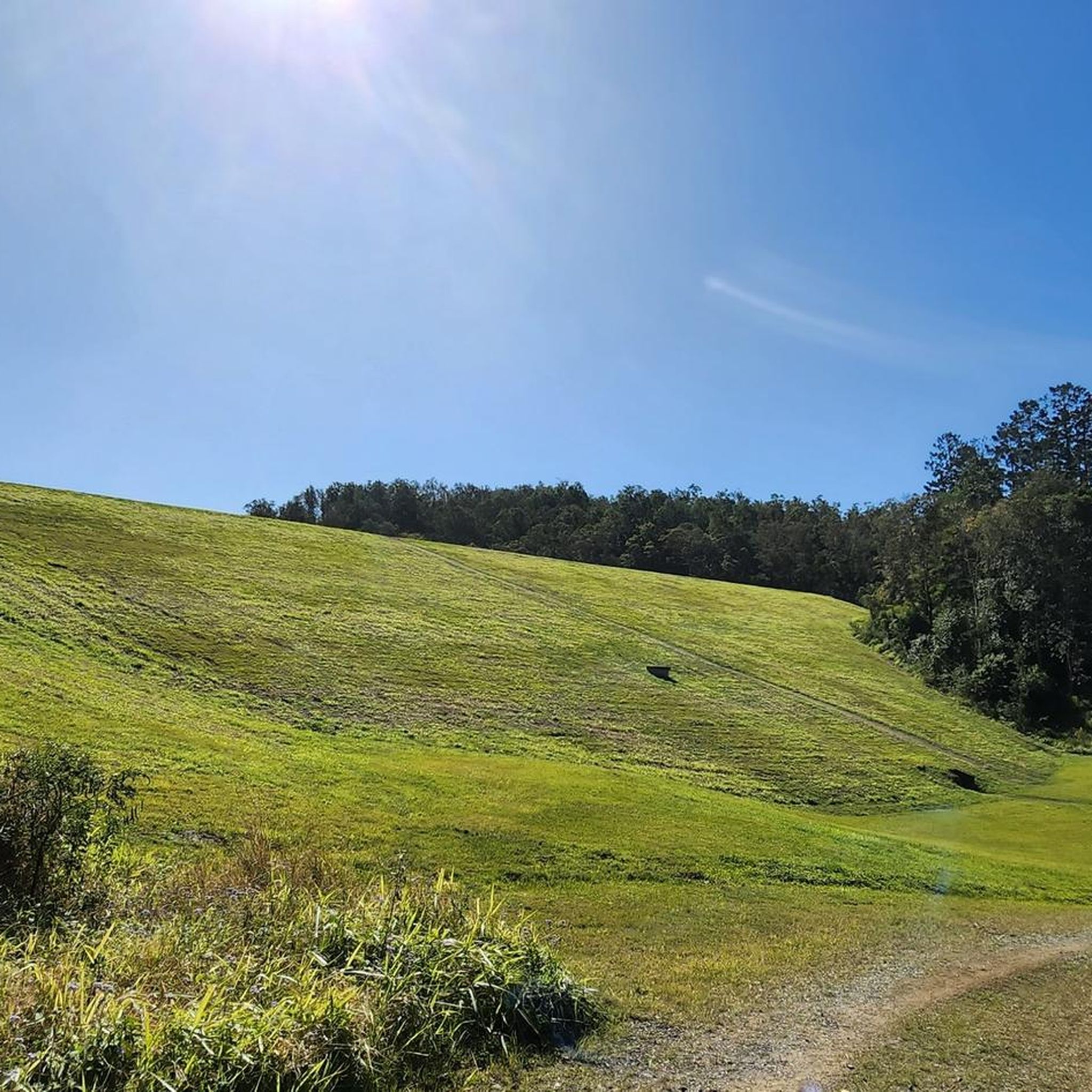
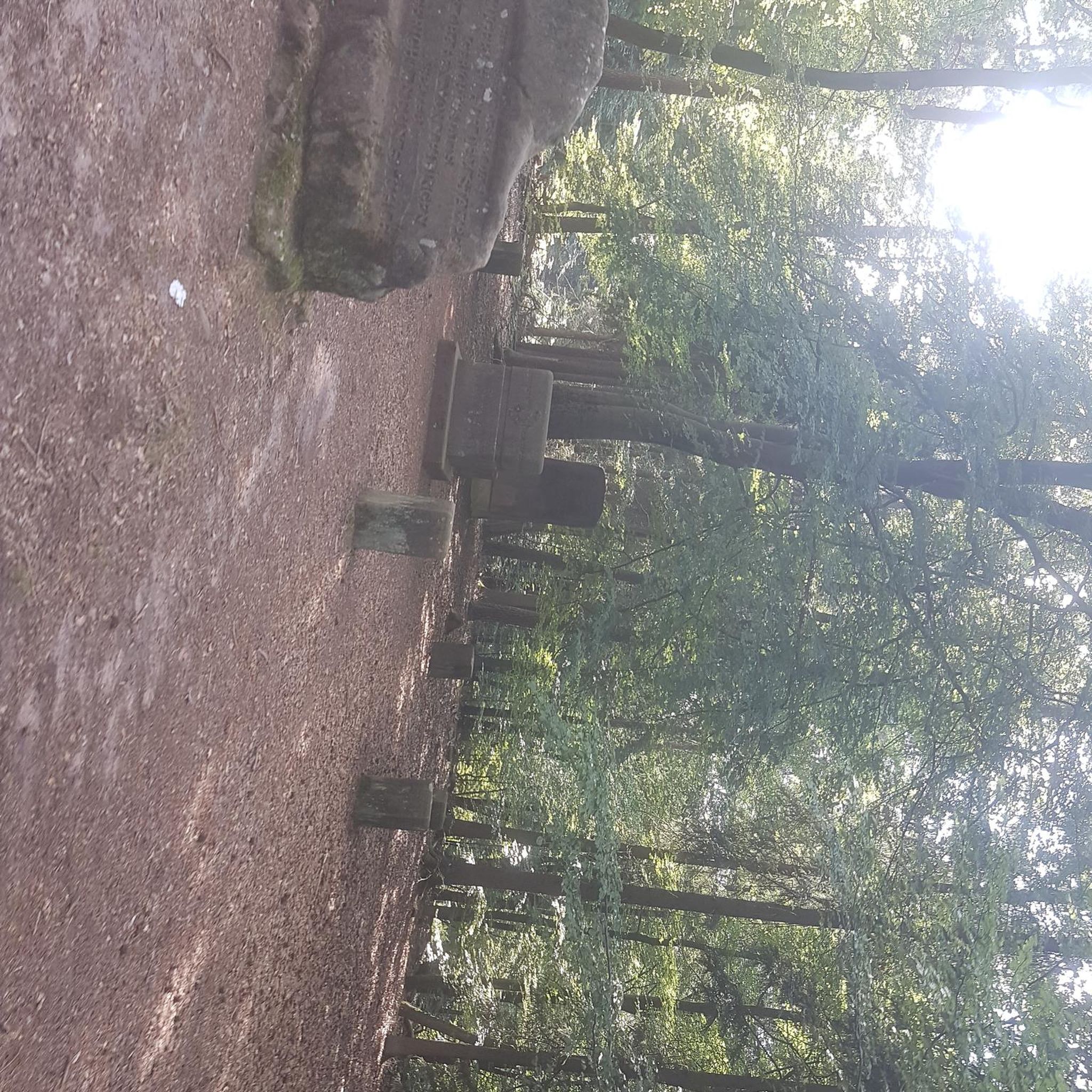
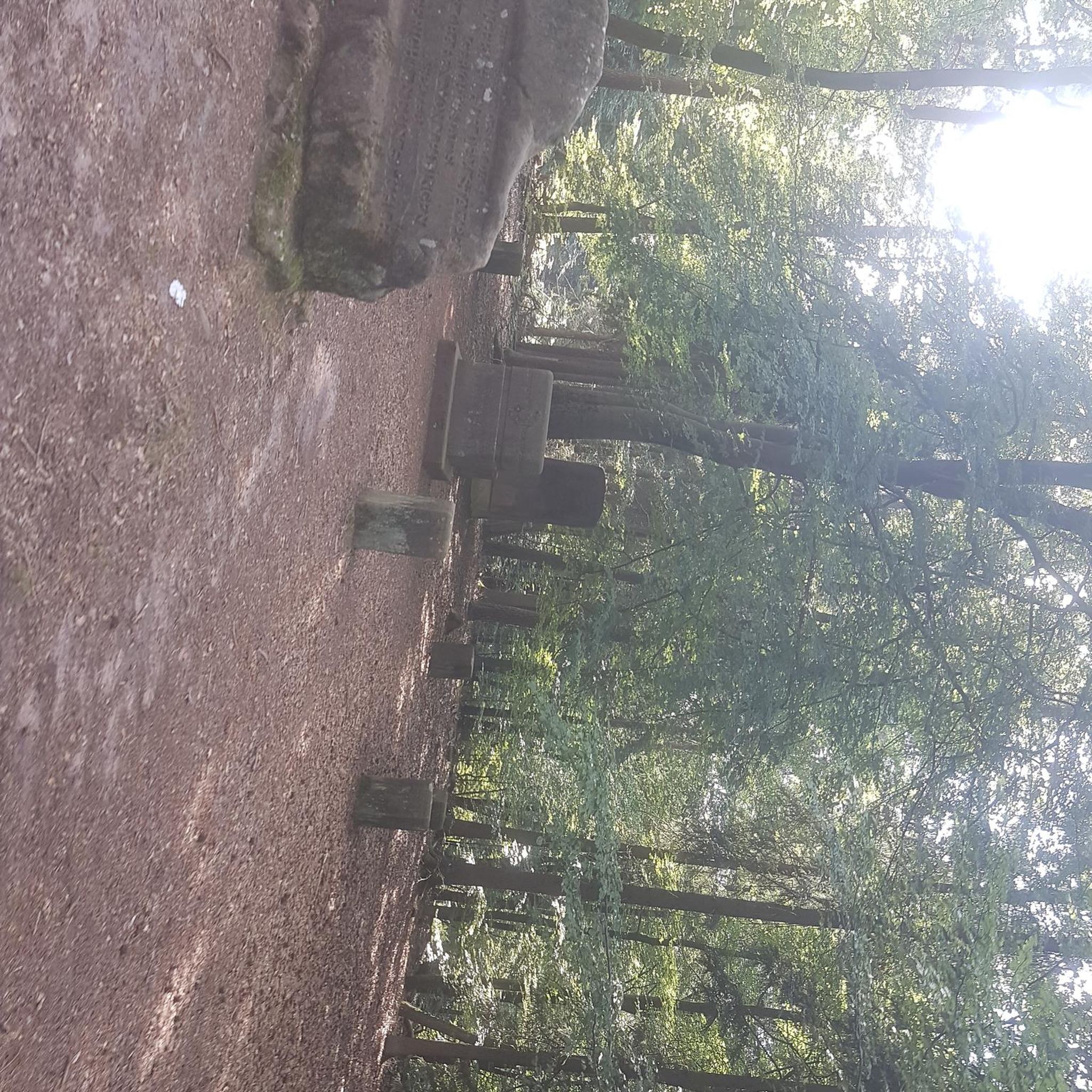
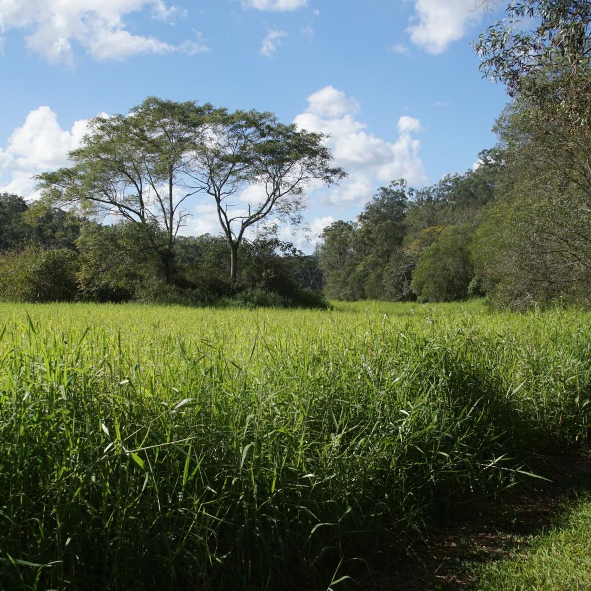
Tips from the Community

Jindalee's Centenary Bridge is currently undergoing renovations to increase it from four lanes to six. Improving pedestrian and cycle access the bridge is also being done. The project is expected to be completed in 2027.
0
0

Gold Creek Reservoir, also known as Gold Creek Dam, sits on the edge of Brisbane’s western bushland and offers a quiet walking experience around a small, sheltered body of water. The reservoir was originally built to supply potable water for the region and now provides a peaceful backdrop for a loop walk of roughly five and a half kilometres through mixed wet and dry sclerophyll forest.
0
0


Nice spot for a picnic, and the start of a sweet little circuit around the reservoir. Nice bit of variety in the walk: dry rainforest and bushland
0
0


Now entering the world of the motor vehicle. About 24km to the V1 bikeway.
0
0
Frequently Asked Questions
What kind of terrain can I expect on road cycling routes in Moggill Conservation Park?
The park's road cycling routes primarily follow management roads through a mix of dry eucalypt forests and riparian rainforests. You'll encounter varied terrain, including ridges and gullies, with some sections featuring moderately high hills and steep inclines. While some routes are considered easy, others present a significant challenge due to their steepness and loose surfaces, which might be more suitable for gravel or mountain bikes.
Are there any easy road cycling routes for beginners in Moggill Conservation Park?
Yes, Moggill Conservation Park offers several easy road cycling routes. For instance, the Roadbike loop from Bellbowrie is an easy 20.0 km trail that can be completed in about 1 hour 5 minutes. Another accessible option is the End of the Centenary Bikeway loop from Westlake, an easy 29.7 km route.
What are some challenging road cycling routes for experienced riders?
For experienced riders seeking a challenge, routes like the Brisbane River loop from Karana Downs offer a moderate challenge with significant elevation gain over 30.2 km. The Nature Cubby Playground loop from Pullenvale is a longer, moderate 57.3 km path with substantial climbing, providing an extended and demanding ride.
Can I find routes with good viewpoints in Moggill Conservation Park?
Absolutely. From higher elevations within the park, road cyclists can enjoy spectacular panoramic views stretching towards Brisbane City and Ipswich. Specific trails like the Tower Break Loop (mentioned in regional research) are known for excellent views from clearings to the South-West.
What kind of wildlife might I see while cycling in the park?
Moggill Conservation Park is home to diverse wildlife. You might spot koalas, bandicoots, and lace monitors. The park is also a vital habitat for various bird species, including the vulnerable black-breasted button-quail and the near-threatened black-chinned honeyeater.
Are the road cycling trails in Moggill Conservation Park shared with other users?
Yes, the management roads and shared trails within Moggill Conservation Park are multi-use. Cyclists should be aware that these trails are also used by walkers and horse riders. It is important to give way to horse riders and maintain awareness of other park users.
When is the best time of year to go road cycling in Moggill Conservation Park?
The park can be enjoyed year-round, but conditions vary. During the right season, the park is adorned with wildflowers, including the flower stalks of grass trees and vibrant parrot pea flowers, adding to the scenic beauty. It's advisable to avoid riding during or immediately after wet weather, as creek crossings can become slippery and deep, and track conditions can deteriorate.
What should I consider regarding track conditions and safety?
Track conditions can vary, with some sections being very steep and loose. Always wear a helmet and ride within your ability. Be mindful of shared trail use with walkers and horse riders. It's best to check weather forecasts and avoid riding during or immediately after heavy rain to prevent trail damage and ensure your safety on potentially slippery surfaces.
Are there any circular road cycling routes in Moggill Conservation Park?
Yes, many of the routes in and around Moggill Conservation Park are designed as loops. Examples include the Brisbane River loop from Karana Downs, the Nature Cubby Playground loop from Pullenvale, and the Roadbike loop from Bellbowrie, all offering convenient circular rides.
What do other road cyclists say about the routes in Moggill Conservation Park?
The road cycling routes in Moggill Conservation Park are highly rated by the komoot community, with an average score of 5.0 stars from 4 reviews. Cyclists often praise the diverse bushland environment, the variety of terrain, and the panoramic views available from higher points within the park.
Are there family-friendly road cycling options in Moggill Conservation Park?
While some sections of the park's management roads can be quite challenging with steep inclines, there are easier routes that might be suitable for families with older children or those comfortable with moderate distances. The park's diverse network allows for selection based on fitness levels, with several routes categorized as 'easy' in the guide.
Most popular routes in Moggill Conservation Park

Get inspired with the komoot mobile app


Explore more
Browse the best Road cycling routes in other regions.
