The best cycling routes in Tinchi Tamba Wetlands Reserve
4.6
(65)
848
riders
47
rides
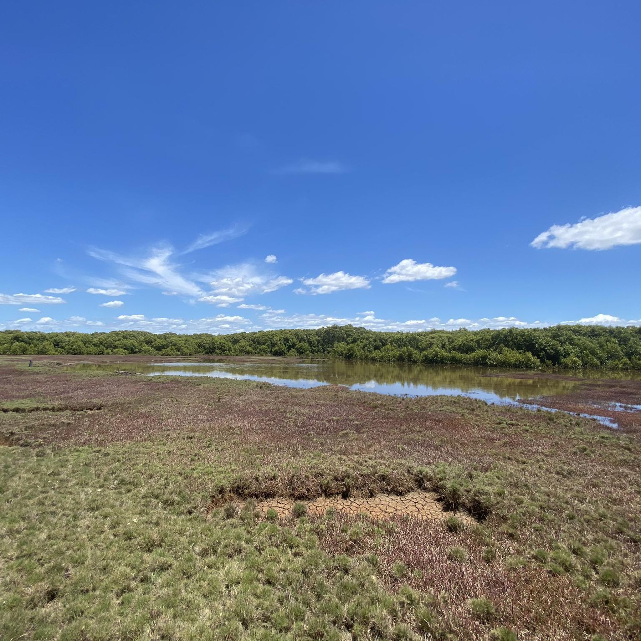
Touring cycling in Tinchi Tamba Wetlands Reserve features flat, accessible routes through a significant wetland ecosystem. The terrain is characterized by low elevation gains, offering smooth paths suitable for various cycling abilities. This reserve provides opportunities to cycle alongside waterways and through natural habitats. The landscape primarily consists of wetlands, open parklands, and coastal pathways.
Best touring cycling routes in Tinchi Tamba Wetlands Reserve
- The most popular touring cycling route is One Tree at Hornibrook Bridge – Brighton Waterfront Pathway…
Last updated: July 4, 2026
7
riders
Easy bike ride. Great for any fitness level. Mostly paved surfaces. Suitable for all skill levels.
4
riders
12.6km
00:44
60m
60m
Easy bike ride. Great for any fitness level. Mostly paved surfaces. Suitable for all skill levels.

Sign up for free
5.0
(1)
7
riders
Moderate bike ride. Good fitness required. Mostly paved surfaces. Suitable for all skill levels.
5.0
(1)
3
riders
13.5km
00:47
50m
50m
Easy bike ride. Great for any fitness level. Mostly paved surfaces. Suitable for all skill levels.
5.0
(12)
260
riders
47.0km
02:43
100m
100m
Moderate bike ride. Good fitness required. Mostly paved surfaces. Suitable for all skill levels.
Get access to more routes and recommendations from other explorers.
Sign up for free
Already have an account?
Our route recommendations are based on thousands of hikes, rides, and runs completed by other people on komoot.
Start today with a free account
Your next adventure awaits.
Login or Signup

Tips from the Community

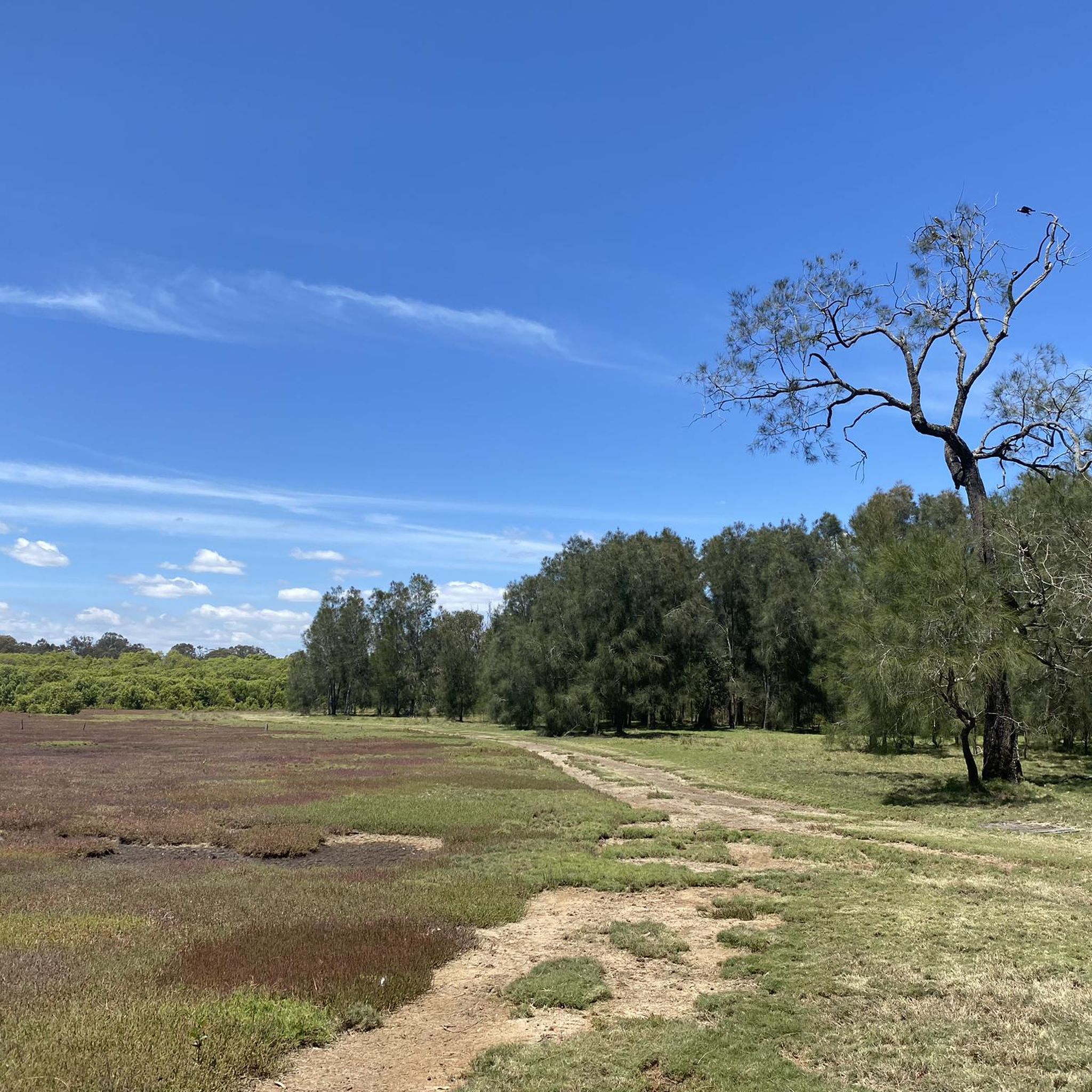
Schulz Canal is an engineered waterway designed for drainage and flood management. It runs through open, low-lying land, with grass-lined banks and wide, unobstructed views along its length. Water levels can vary depending on rainfall and tidal influence, with slower-moving sections and occasional birdlife along the edges.
0
0
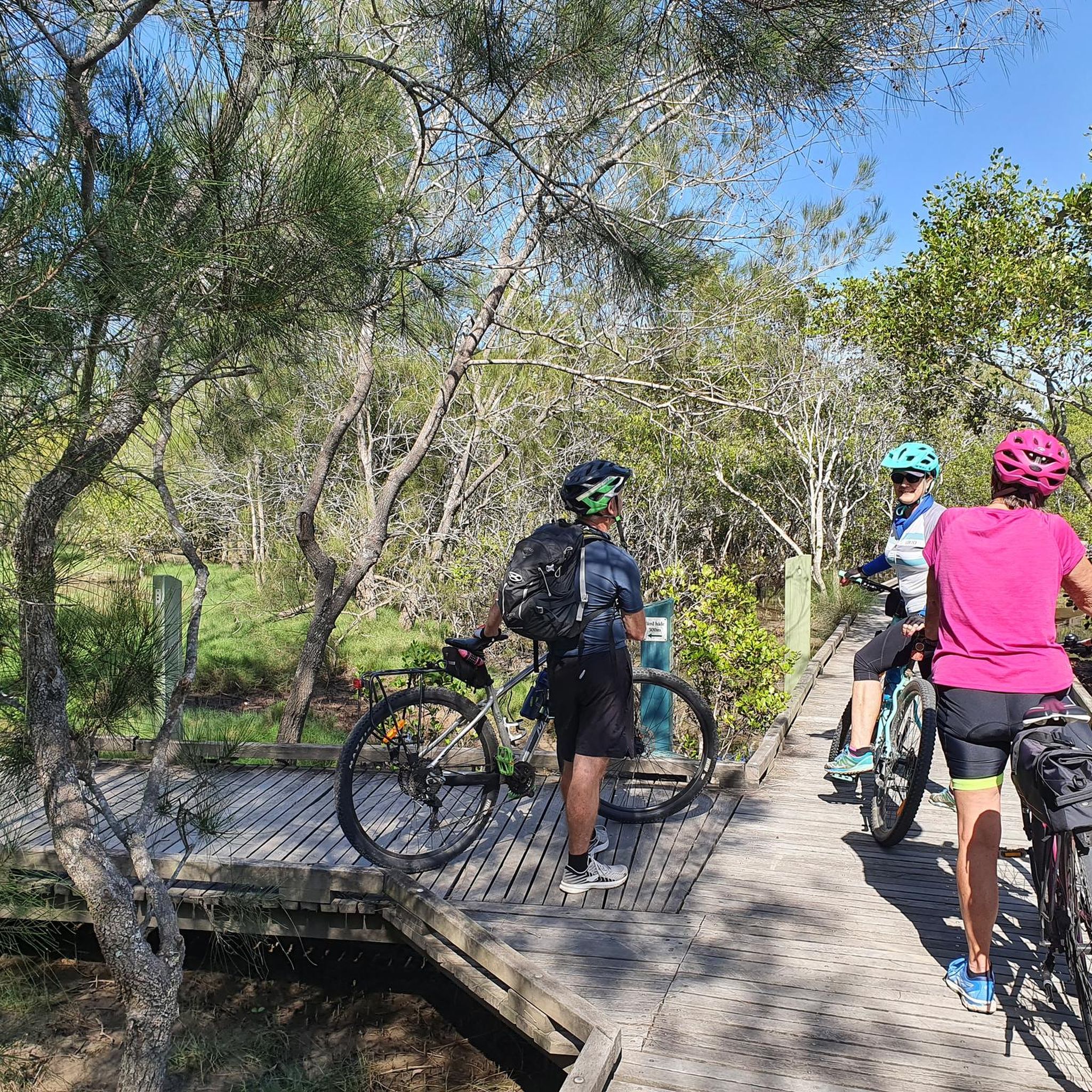
Running through Boondall Wetlands, the Jim Soorley Bikeway is a sealed shared path used by cyclists and walkers. The route passes through mangrove forest, saltmarsh, and open wetland areas, with sections of boardwalk and bridges over tidal creeks. It’s mostly flat, with long, uninterrupted stretches through the wetlands. Birdlife is common throughout, and conditions can feel exposed in open sections, with limited shade along parts of the route.
0
0
The Houghton Highway Bridge connects Brisbane to the Redcliffe Peninsula. A dedicated shared path runs alongside the bridge, used by both cyclists and pedestrians, with continuous views across Moreton Bay. The crossing is exposed, with little shelter from wind or sun, and conditions can feel noticeably different compared to the sheltered sections along the foreshore.
0
0
Stretching for over 150 kilometres, the Moreton Bay Cycleway runs along much of Brisbane’s northern coastline, linking areas from the city through to Redcliffe and beyond. This section between Shorncliffe and Woody Point follows the waterfront, with open views across Moreton Bay. The path is shared with pedestrians for much of the route, so expect mixed use and steady traffic.
0
0
Shaw Estate Park is a large open green space along Kedron Brook, sitting right on the bikeway in Brisbane’s north. It’s a popular stop with wide grassy areas, scattered trees, and plenty of space to pause. There’s a container-style coffee spot here, along with barbecues and picnic areas if you’re planning a longer break.
0
0

Nice quiet road for cycling along the waterfront for the most part. The shared pathway can get busy on the weekends. And watch for cars at the roundabouts, and pulling in and out of the parking spots, when your near the Sandgate Public Pool. Some of those drivers are a menace. Be brave and own the main part of the road in that area. Gives you more room to avoid and been seen.
0
0


Wide open shared pathways, can be busy on weekends and warmer days
0
0
Frequently Asked Questions
What is the typical terrain like for touring cycling in Tinchi Tamba Wetlands Reserve?
The terrain in Tinchi Tamba Wetlands Reserve is predominantly flat and accessible, characterized by low elevation gains. You'll find smooth paths suitable for various cycling abilities, often alongside waterways and through natural habitats, including wetlands, open parklands, and coastal pathways.
How many touring cycling routes are available in Tinchi Tamba Wetlands Reserve?
There are over 50 touring cycling routes available in Tinchi Tamba Wetlands Reserve, offering a wide range of options for different skill levels and preferences.
Are there family-friendly touring cycling routes in the reserve?
Yes, Tinchi Tamba Wetlands Reserve offers many easy routes perfect for families. For example, the One Tree at Hornibrook Bridge – Brighton Waterfront Pathway loop from Brighton is an easy 9.1-mile (14.7 km) trail that follows the Brighton Waterfront Pathway, ideal for a relaxed family ride.
Are there any longer or more challenging touring cycling routes for experienced riders?
For those seeking a longer ride, the reserve does offer moderate options. The Anne Beasley’s Lookout – Kedron Brook Cycleway loop from Bald Hills is a moderate 30.6-mile (49.2 km) path that traverses varied landscapes, including sections of the Kedron Brook Cycleway. Another substantial ride is The Lily Pond – Brighton Waterfront Pathway loop from Bald Hills, which covers 51.4 miles (82.7 km).
What is the best season for touring cycling in Tinchi Tamba Wetlands Reserve?
Given the wetland environment, the cooler, drier months are generally ideal for touring cycling. This typically means late autumn, winter, and early spring (around April to October) to avoid the peak heat and humidity of summer, and potentially wetter conditions.
Are there circular touring cycling routes in the area?
Yes, many of the touring cycling routes in Tinchi Tamba Wetlands Reserve are designed as loops, allowing you to start and finish at the same point. Examples include the popular One Tree at Hornibrook Bridge – Brighton Waterfront Pathway loop from Brighton and the Bike loop from Deagon.
What kind of wildlife can I expect to see while cycling through the wetlands?
As a significant wetland ecosystem, Tinchi Tamba Wetlands Reserve is home to diverse wildlife. Cyclists often spot various bird species, including migratory birds, as well as other wetland creatures. Keep an eye out for local fauna, especially in quieter sections of the trails.
Are there good viewpoints or scenic spots along the cycling routes?
The routes offer numerous scenic spots, particularly where they run alongside waterways and coastal areas. You'll enjoy expansive wetland scenery and coastal views, providing ample opportunities for appreciating the natural beauty of the reserve.
What do other touring cyclists say about their experience in Tinchi Tamba Wetlands Reserve?
The touring cycling routes in Tinchi Tamba Wetlands Reserve are highly rated by the komoot community, with an average score of 4.6 stars from over 70 reviews. Cyclists often praise the flat, well-maintained paths, the tranquil wetland scenery, and the accessible nature of the routes.
Is there public transport access to the cycling routes in Tinchi Tamba Wetlands Reserve?
While specific routes may vary in their proximity to public transport, the region around Tinchi Tamba Wetlands Reserve is served by local bus networks. It's advisable to check TransLink's website for the most current bus routes and schedules to plan your journey to trailheads.
Are there parking facilities available near the touring cycling trails?
Yes, there are generally parking facilities available at various access points and trailheads around Tinchi Tamba Wetlands Reserve, particularly near popular starting points for routes like those originating from Brighton or Bald Hills. Look for designated parking areas at parks and reserves.
Are there any cafes or refreshment stops near the bike trails?
While the immediate wetland areas are natural reserves, you'll find cafes and refreshment options in the nearby suburbs and towns such as Brighton, Sandgate, and Bald Hills. These are often conveniently located near the start or end points of many popular routes, allowing for a pre- or post-ride stop.
Most popular routes in Tinchi Tamba Wetlands Reserve

Get inspired with the komoot mobile app


Explore more
Browse the best Cycling routes in other regions.
