The best walks and hikes in Tinchi Tamba Wetlands Reserve
4.1
(16)
467
hikers
27
hikes
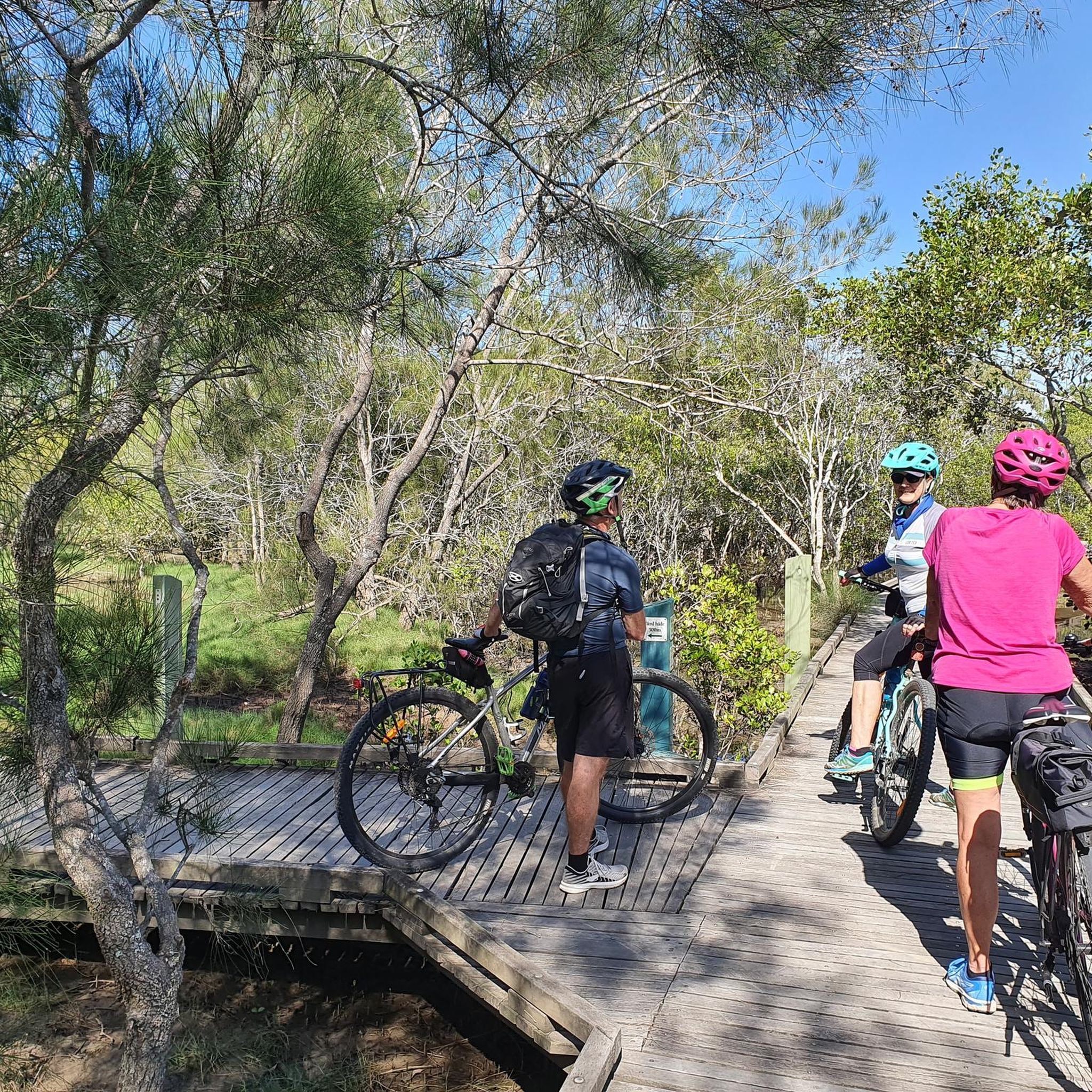
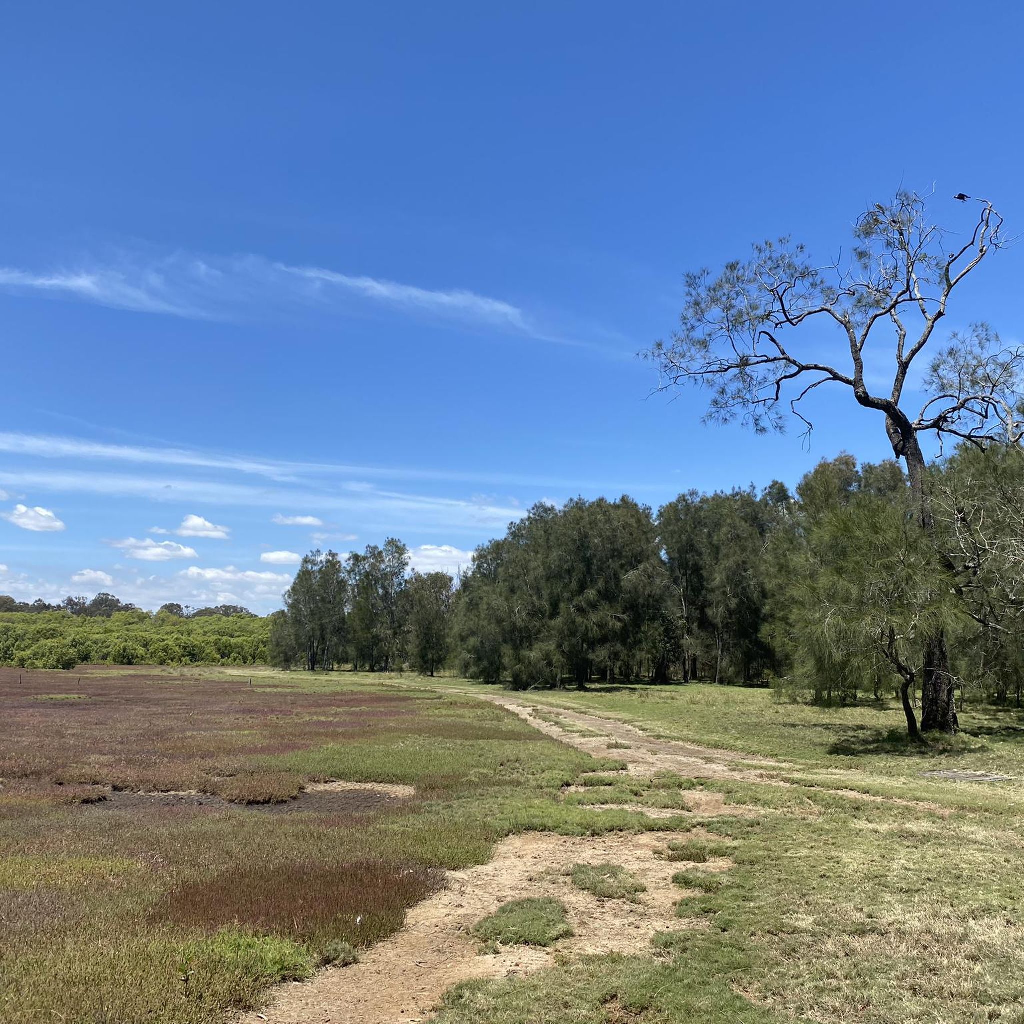
Hiking in Tinchi Tamba Wetlands Reserve offers diverse landscapes, including tidal flats, extensive mangrove forests, saltmarshes, open grasslands, and dense eucalypt and paperbark woodlands. The reserve is situated between the Pine River and Bald Hills Creek, featuring well-maintained tracks and boardwalks that traverse these varied ecosystems. The terrain is generally flat with minor slopes, making it accessible for different fitness levels.
Best hiking trails in Tinchi Tamba Wetlands Reserve
- The most popular hiking route is Tinchi Tamba Wetlands Reserve loop…
Last updated: November 17, 2026
14
hikers
2.78km
00:42
0m
0m
Easy hike. Easily walkable paths.
7.55km
01:56
30m
30m
Easy hike. Easily walkable paths.

44
hikers
6.60km
01:40
10m
10m
Easy hike. Easily walkable paths.
9
hikers
21.3km
05:21
20m
20m
Hard hike. Very good fitness required. Easily walkable paths.
4.2
(5)
51
hikers
10.7km
02:42
20m
20m
Moderate hike. Good fitness required. Easily walkable paths.
Get access to more routes and recommendations from other explorers.
Already have an account?
Our route recommendations are based on thousands of hikes, rides, and runs completed by other people on komoot.
Start today with a free account
Your next adventure awaits.


Tips from the Community

Bald Hills Creek is one of the more interesting sections along this otherwise fairly functional bikeway. As you get closer to Tinchi Tamba Wetlands, the surroundings open up into mangroves, saltmarsh and tidal flats, which makes a nice change from riding beside the road. The creek itself is tidal, so the view can look quite different depending on when you pass through. Keep an eye out for birdlife around the water and wetlands.
0
0
The Deagon Deviation Bikeway is a useful north–south connection through Brisbane’s northern suburbs, linking towards Sandgate, Bracken Ridge and the wider cycling network. Don’t expect much sightseeing along this stretch, as much of the route runs beside the road, but the distance makes it a good one for getting some exercise in. Most of it follows shared path, so keep an eye out for other people using it and for road crossings along the way.
0
0
Located on the Redcliffe Peninsula in Woody Point, this beach sits along a sheltered stretch of Moreton Bay, with calm, shallow water and wide tidal flats exposed at low tide. The foreshore includes picnic areas, trees, and a jetty, with the shared path running directly alongside the water. Conditions are generally quiet compared to busier nearby beaches, though surfaces can be muddy near the shoreline at low tide.
0
0
The Houghton Highway Bridge connects Brisbane to the Redcliffe Peninsula. A dedicated shared path runs alongside the bridge, used by both cyclists and pedestrians, with continuous views across Moreton Bay. The crossing is exposed, with little shelter from wind or sun, and conditions can feel noticeably different compared to the sheltered sections along the foreshore.
0
0
Stretching for over 150 kilometres, the Moreton Bay Cycleway runs along much of Brisbane’s northern coastline, linking areas from the city through to Redcliffe and beyond. This section between Shorncliffe and Woody Point follows the waterfront, with open views across Moreton Bay. The path is shared with pedestrians for much of the route, so expect mixed use and steady traffic.
0
0

The Hornibrook Bridge, linking Clontarf and Brighton, was opened in 1935, and was one of the longest and oldest timber bridges in Australia. However, it was the timber that became the bridge's downfall, with too much of the Hornibrook's hardwood - predominantly ironbark - rotting for the bridge to be safe. The bridge closed in 2011 and is now demolished, although a 100m section of it is preserved and refurbished for historical purposes (and also for the use of local fishermen). It was replaced by the new Ted Smout Memorial Bridge, and includes a pedestrian and cycle pathway.
1
0
Frequently Asked Questions
What is the general difficulty of hiking trails in Tinchi Tamba Wetlands Reserve?
The hiking trails in Tinchi Tamba Wetlands Reserve are generally considered easy, featuring flat ground with minor slopes. Most of the 21 available routes are easy, with 17 routes falling into this category. There are also a few moderate and difficult options for those seeking more challenge.
What kind of terrain can I expect on the trails in Tinchi Tamba Wetlands Reserve?
The reserve offers a diverse range of terrains, including tidal flats, extensive mangrove forests, saltmarshes, open grasslands, and dense eucalypt and paperbark woodlands. You'll find well-maintained tracks and boardwalks, especially over the saltmarshes and mangroves. Be aware that some areas may have washouts, ruts, or uneven surfaces, particularly after heavy rainfall or very high tides.
Are there any circular hiking routes in the reserve?
Yes, Tinchi Tamba Wetlands Reserve offers several circular routes. A popular option is the Tinchi Tamba Wetlands Reserve loop from Tinchi Tamba Wetlands Reserve, an easy 1.7-mile (2.8 km) trail. Another is the 3-kilometer Island Circuit, which includes a scenic boardwalk section over saltmarshes and mangroves.
What wildlife can I expect to see while hiking in Tinchi Tamba Wetlands Reserve?
Tinchi Tamba Wetlands Reserve is a haven for wildlife. You can expect to see a wide variety of bird species, including migratory shorebirds like eastern curlews and whimbrels, as well as raptors such as sea eagles. Eastern Grey Kangaroos are also a common sight, often grazing in the open grasslands.
Are there good spots for birdwatching in Tinchi Tamba Wetlands Reserve?
Absolutely. The reserve is renowned for birdwatching, with historically 251 bird species sighted. There is a dedicated bird hide located along the 1-kilometer track, offering an excellent vantage point for observing shorebirds on the mudflats.
Are the hiking trails in Tinchi Tamba Wetlands Reserve suitable for families with children?
Yes, the reserve is very family-friendly. The trails are generally flat and easy, making them accessible for various fitness levels, including children. The diverse landscapes and abundant wildlife, especially the kangaroos and birds, provide engaging experiences for younger hikers. Deep Water Bend also features a playground.
Can I bring my dog on the trails in Tinchi Tamba Wetlands Reserve?
Yes, dogs are welcome in Tinchi Tamba Wetlands Reserve. However, it is crucial that they are kept on a leash at all times to protect the native wildlife, particularly the numerous bird species and kangaroos that inhabit the area.
Is there parking available at Tinchi Tamba Wetlands Reserve?
Yes, parking is available at Tinchi Tamba Wetlands Reserve. Deep Water Bend is a popular day-use area within the reserve that offers convenient parking facilities for visitors.
What is the best time of year or day to visit Tinchi Tamba Wetlands Reserve for hiking?
The reserve can be enjoyed year-round, but for optimal wildlife viewing, especially marine life, visiting around high tide is recommended. During warmer and wetter months, it's advisable to bring a sunhat, sunscreen, and insect repellent. The reserve also offers stunning views of the sun setting over the D'Aguilar Range in the late afternoon.
Are there any facilities or amenities available at Tinchi Tamba Wetlands Reserve?
Yes, the Deep Water Bend day-use area within the reserve offers several amenities. These include picnic tables, barbecues, a playground for children, and fishing platforms. It also serves as a boat and canoe ramp, providing access to the Pine River and Bald Hills Creek.
What are some notable landmarks or points of interest within the reserve?
Key points of interest include the extensive boardwalks that traverse the saltmarshes and mangroves, offering unique views of these ecosystems. The bird hide is a significant landmark for wildlife enthusiasts. Deep Water Bend provides recreational facilities, and the reserve itself is internationally significant as a habitat for migratory shorebirds.
What do other hikers enjoy most about hiking in Tinchi Tamba Wetlands Reserve?
The area is highly rated by the komoot community, with an average score of 4.6 stars from over 5 reviews. Reviewers often praise the diverse ecosystems, the abundance of wildlife, particularly the birdwatching opportunities, and the well-maintained, easy-to-follow tracks and boardwalks that make the reserve accessible and enjoyable for all.
Most popular routes in Tinchi Tamba Wetlands Reserve

Get inspired with the komoot mobile app


Explore more
Browse the best Hikes in other regions.
