The best cycling routes in Bribie Island National Park
4.8
(71)
677
riders
45
rides
Touring cycling in Bribie Island National Park offers routes through a diverse coastal landscape. The park features sandy beaches, eucalypt forests, and paperbark wetlands, providing varied scenery for cyclists. The terrain is generally flat, making it accessible for a range of abilities. This area is characterized by its low-lying coastal environment, with paths often running near the water or through natural bushland.
Best touring cycling routes in Bribie Island National Park
- The most popular touring cycling route is Bike Path Along the Water loop from Woorim, an easy 18.9 miles (30.6 km) trail that takes 1 hour 53 minutes to complete. This route offers views along the waterfront.
- Another top favourite among local touring cyclists is Bribie Island Breakthrough loop from Pelican Waters, an easy 14.9 miles (24.0 km) path. This route traverses the island's natural environment, connecting coastal areas.
- Local touring cyclists also love the Bribie Island Breakthrough loop from Golden Beach, a 5.4 miles (8.7 km) trail leading through coastal bushland, often completed in about 31 minutes.
- Touring cycling in Bribie Island National Park is defined by coastal paths, sandy tracks, and natural bushland. The network offers options for different ability levels, from easy family friendly bike rides Bribie Island to longer routes.
- The routes in Bribie Island National Park are highly rated by the komoot community with an average score of 4.8 stars from over 70 reviews. More than 700 touring cyclists have used komoot to explore Bribie Island National Park's varied terrain.
Last updated: July 4, 2026
4.8
(9)
96
riders
45.1km
02:41
150m
140m
Moderate bike ride. Good fitness required. Mostly paved surfaces. Suitable for all skill levels.
4.5
(2)
21
riders
30.6km
01:53
40m
40m
Easy bike ride. Great for any fitness level. Mostly paved surfaces. Suitable for all skill levels.

Sign up for free
19
riders
Easy bike ride. Great for any fitness level. Mostly paved surfaces. Suitable for all skill levels.
18
riders
Easy bike ride. Great for any fitness level. Mostly paved surfaces. Suitable for all skill levels.
5.0
(2)
13
riders
Easy bike ride. Great for any fitness level. Mostly paved surfaces. Suitable for all skill levels.
Get access to more routes and recommendations from other explorers.
Sign up for free
Already have an account?
Our route recommendations are based on thousands of hikes, rides, and runs completed by other people on komoot.
Start today with a free account
Your next adventure awaits.
Login or Signup
Tips from the Community

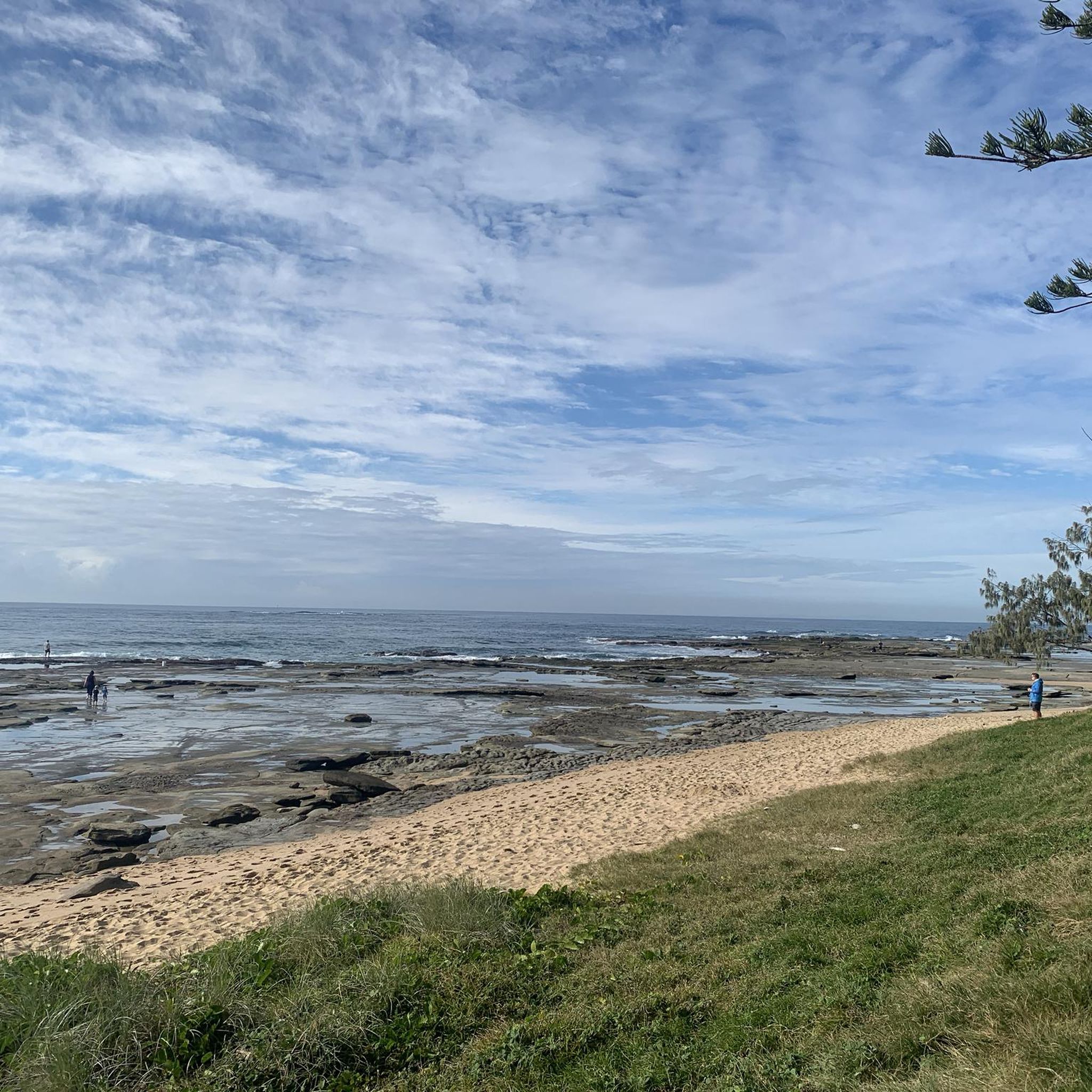
Point Cartwright is a rocky headland at the mouth of the Mooloolah River, and home to one of Australia’s oldest working lighthouses, with beautiful, sweeping coastal views. From the headland, you can look north to Mooloolaba, south along Kawana Beach, and east across the ocean, with migrating humpback whales sometimes spotted offshore during winter. Coastal heath, rocky outcrops, and open grassy areas surround the reserve, which has remained a popular public recreation area since the 1930s.
0
0
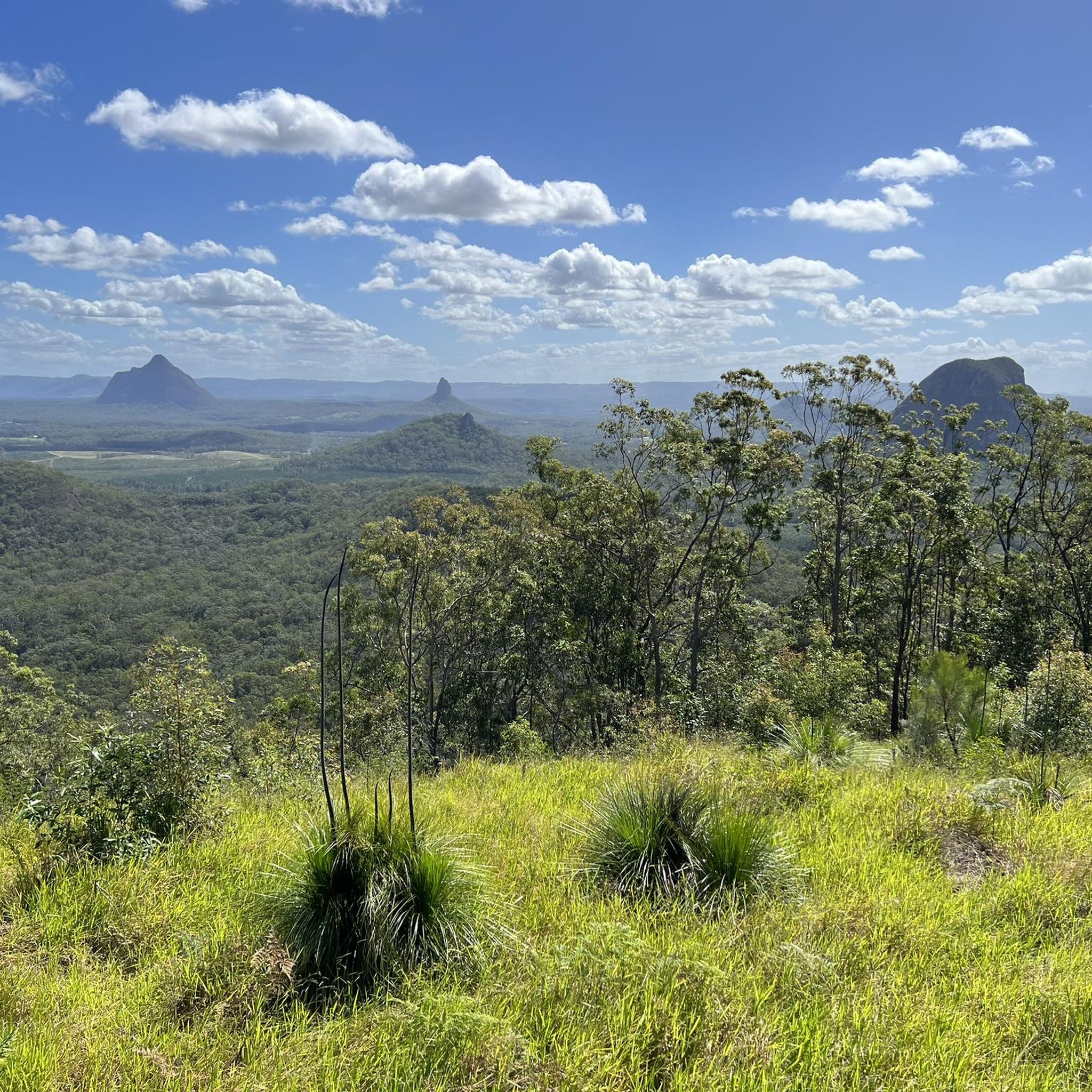
Bribie Island’s northern breakthrough area formed in 2022 when powerful waves cut through a narrow section of sand, creating a new opening between the ocean and the Pumicestone Passage. The event dramatically changed the coastline, leaving a wide sandy shoreline, shifting dunes, and strong tidal flows that continue to reshape this stretch of coast. Today, it attracts walkers, photographers, fishers, and visitors curious to see one of southeast Queensland’s most significant recent coastal changes.
0
0
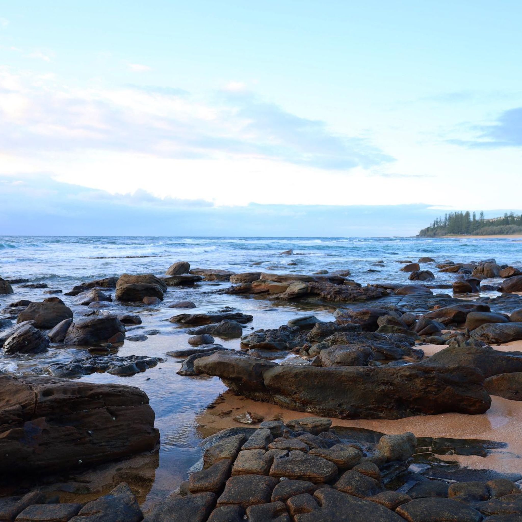
Tripcony Park is a small waterfront park nestled along the Pumicestone Passage with open views across the water toward Bribie Island. The park sits near what was once an important arrival point for early visitors to Caloundra, when passengers and supplies reached the town by boat before road access improved. Today, there are open lawns with plenty of shade, and several picnic areas, and its position on the coastal pathway makes it a lovely place to stop and watch boats move through the channel.
0
0
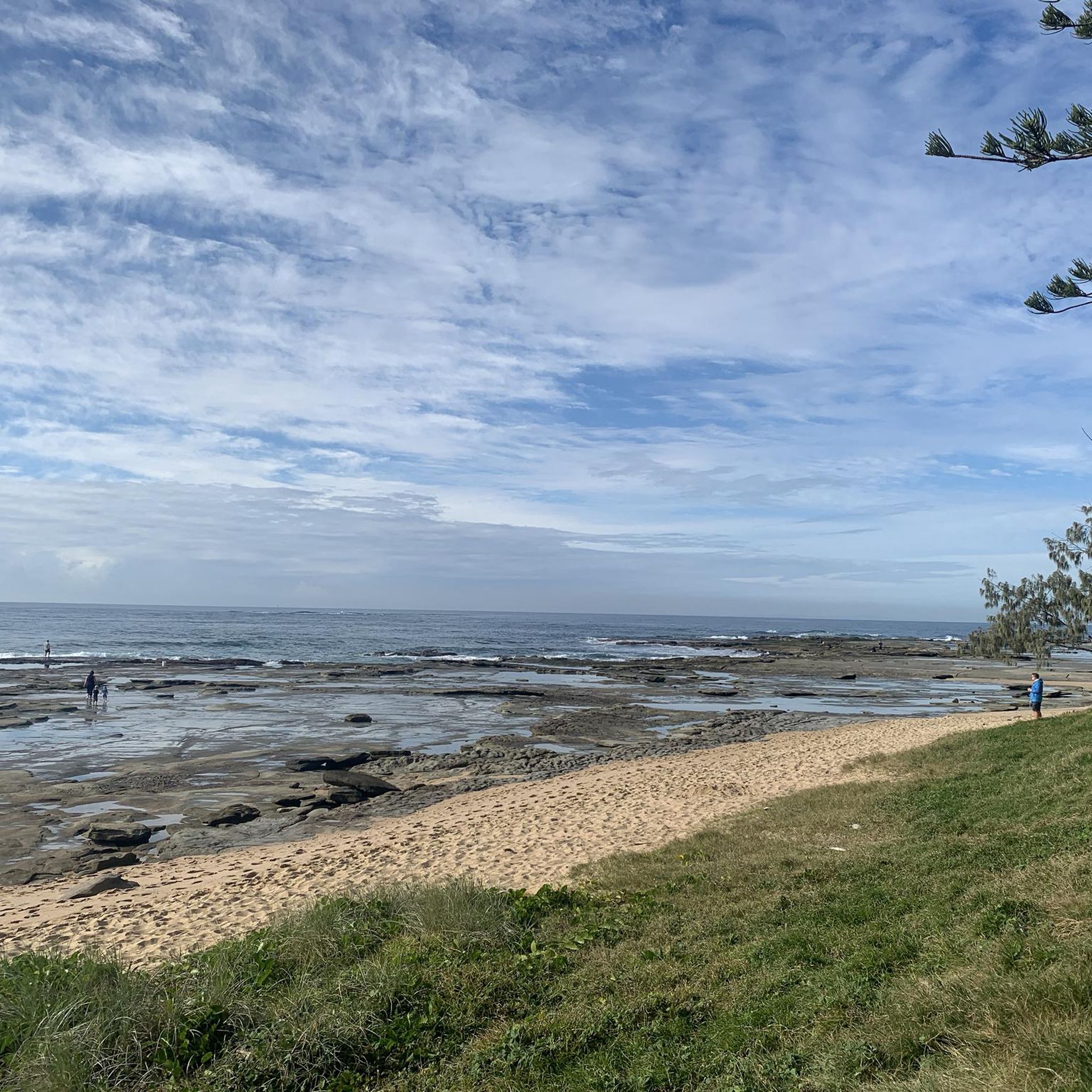
Caloundra Coastal Walk is a picturesque coastal trail that runs roughly 25 kilometres connecting beaches, headlands, and waterfront parklands along the shoreline. The sealed pathway follows the coastline past well known recreation areas including several parks, Kings Beach and Bulcock Beach, with endless beautiful ocean and passage views. It's relatively flat and well-maintained, making it an easy and popular route for walking, cycling, and running.
0
0
Bulcock Beach is a sheltered beach in Caloundra on the western side of the headland overlooking the Pumicestone Passage. Its calm waters are protected from ocean swell, making it an ideal spot for swimming, paddling, and family use. The beach sits alongside a lively foreshore with a boardwalk, picnic areas, and nearby cafés, making it an easy, accessible spot for relaxed seaside recreation.
0
0
Kings Beach is a popular surf beach on the Sunshine Coast known for its reliable waves and family-friendly facilities. The beach is patrolled for safety and includes a saltwater ocean pool, grassy areas for picnics, and a coastal boardwalk that connects to nearby headlands. With beautiful views across Moreton Bay towards Bribie Island, it's a great place for swimming, surfing, and enjoying a relaxing day by the seaside.
0
0


Frequently Asked Questions
Are there many touring cycling routes available in Bribie Island National Park?
Yes, Bribie Island National Park offers a good selection of touring cycling routes. There are over 45 routes in total, catering to various preferences and skill levels.
What kind of terrain can I expect on touring cycling routes in Bribie Island National Park?
The terrain in Bribie Island National Park is generally flat, making it accessible for a wide range of abilities. Routes often traverse diverse coastal landscapes, including sandy beaches, eucalypt forests, and paperbark wetlands.
Are there easy or family-friendly touring cycling routes in the park?
Absolutely. The majority of touring cycling routes in Bribie Island National Park are rated as easy, with 31 out of 47 routes falling into this category. These are ideal for families or those seeking a relaxed ride. An excellent option is the Bribie Island Breakthrough loop from Golden Beach, which is 5.4 miles (8.7 km) and leads through coastal bushland.
Are there any longer or more challenging touring cycling routes for experienced riders?
While most routes are easy, there are options for more experienced touring cyclists. You'll find 15 moderate routes and 1 difficult route. For a moderate challenge, consider the Point Cartwright – Currimundi Park Trail loop from Caloundra, which spans over 46 km.
What do other touring cyclists enjoy most about cycling in Bribie Island National Park?
The area is highly rated by the komoot community, with an average score of 4.8 stars from over 70 reviews. Reviewers often praise the diverse coastal scenery, the generally flat and accessible terrain, and the opportunity to explore natural bushland and waterfront paths.
Are there any circular touring cycling routes on Bribie Island?
Yes, many of the touring cycling routes in Bribie Island National Park are loops, offering convenient starting and ending points. Popular circular routes include the Bike Path Along the Water loop from Woorim and the Bribie Island Breakthrough loop from Pelican Waters.
What is the best season for touring cycling in Bribie Island National Park?
Bribie Island generally enjoys a mild climate. The cooler, drier months from April to October are often considered ideal for outdoor activities like cycling, offering pleasant temperatures and less humidity. However, routes are accessible year-round.
Do I need a permit to bike in Bribie Island National Park?
Generally, permits are not required for cycling on designated paths and trails within Bribie Island National Park. However, if you plan to drive a 4WD on the beach or access certain restricted areas, specific permits may be necessary. Always check the Queensland Parks and Wildlife Service website for the latest regulations.
What kind of wildlife might I encounter while cycling in Bribie Island National Park?
Bribie Island National Park is home to diverse wildlife. Cyclists might spot various bird species, including migratory waders, and potentially kangaroos or wallabies in the bushland areas. Keep an eye out for marine life if cycling near the water's edge.
Are there scenic viewpoints along the touring cycling routes?
Many routes offer scenic views, particularly those that follow the coastline or traverse the island's natural environment. The Bike Path Along the Water loop from Woorim, for instance, provides continuous views along the waterfront.
Is Bribie Island National Park suitable for mountain biking?
This guide focuses on touring cycling, which typically involves paved paths or well-maintained gravel tracks. While some areas might have unpaved sections, the park's primary cycling infrastructure is geared towards touring and recreational cycling rather than technical mountain biking.
Where can I find parking near the touring cycling trails?
Parking is generally available at various access points around Bribie Island, particularly in areas like Woorim, Golden Beach, and Pelican Waters, which serve as common starting points for many routes. Specific parking details can often be found on individual route pages or local council websites.
Are there cafes or places to eat near the bike trails?
Yes, Bribie Island has several townships and commercial areas, such as Woorim and Bongaree, where you can find cafes, restaurants, and shops. These are often conveniently located near popular cycling routes or accessible with a short detour.
Most popular routes in Bribie Island National Park

Get inspired with the komoot mobile app


Explore more
Browse the best Cycling routes in other regions.
