The best walks and hikes in Tomaree National Park
4.8
(30)
649
hikers
17
hikes
Hiking in Tomaree National Park offers diverse landscapes, from white sand beaches and coastal heathland to volcanic peaks and sub-coastal swamps. The park is characterized by its unique outcrops of acid volcanic rock, coastal headlands, and bush forests. Hikers can explore varied terrain, including rocky shorelines and trails leading to panoramic viewpoints. This region provides a range of hiking experiences across its distinct natural features.
Best hiking trails in Tomaree National Park
- The most popular hiking route is Tomaree Head Summit Walk, an easy 1.3 miles (2.1 km) trail that takes about 40 minutes to complete. This route offers panoramic views over Port Stephens, Broughton, Cabbage Tree, and Boondelbah Islands.
- Another top favourite among local hikers is View from Tomaree Mountain loop from Shoal Bay, an easy 2.4 miles (3.8 km) path. This trail provides coastal views and a steady ascent to the summit.
- Local hikers also love the View from Tomaree Mountain loop from Nelson Bay, a 4.8 miles (7.7 km) trail leading through coastal bushland and offering elevated perspectives, often completed in about 2 hours 5 minutes.
- Hiking in Tomaree National Park is defined by coastal paths, volcanic peaks, and diverse bushland, offering options for different ability levels.
- The routes in Tomaree National Park are highly rated by the komoot community with an average score of 4.8 stars from over 50 reviews. More than 1000 hikers have used komoot to explore Tomaree National Park's varied terrain.
Last updated: June 27, 2026
4.7
(11)
272
hikers
2.09km
00:43
110m
110m
Easy hike. Great for any fitness level. Easily-accessible paths. Suitable for all skill levels.
4.9
(14)
219
hikers
4.52km
01:19
110m
110m
Easy hike. Great for any fitness level. Easily-accessible paths. Suitable for all skill levels.

Sign up for free
6.24km
01:37
40m
40m
Easy hike. Great for any fitness level. Easily-accessible paths. Suitable for all skill levels.
5.0
(1)
15
hikers
12.5km
03:28
200m
200m
Moderate hike. Good fitness required. Easily-accessible paths. Suitable for all skill levels.
4.5
(2)
17
hikers
10.6km
03:01
230m
230m
Moderate hike. Good fitness required. Easily-accessible paths. Suitable for all skill levels.
Get access to more routes and recommendations from other explorers.
Sign up for free
Already have an account?
Our route recommendations are based on thousands of hikes, rides, and runs completed by other people on komoot.
Start today with a free account
Your next adventure awaits.
Login or Signup

Tips from the Community

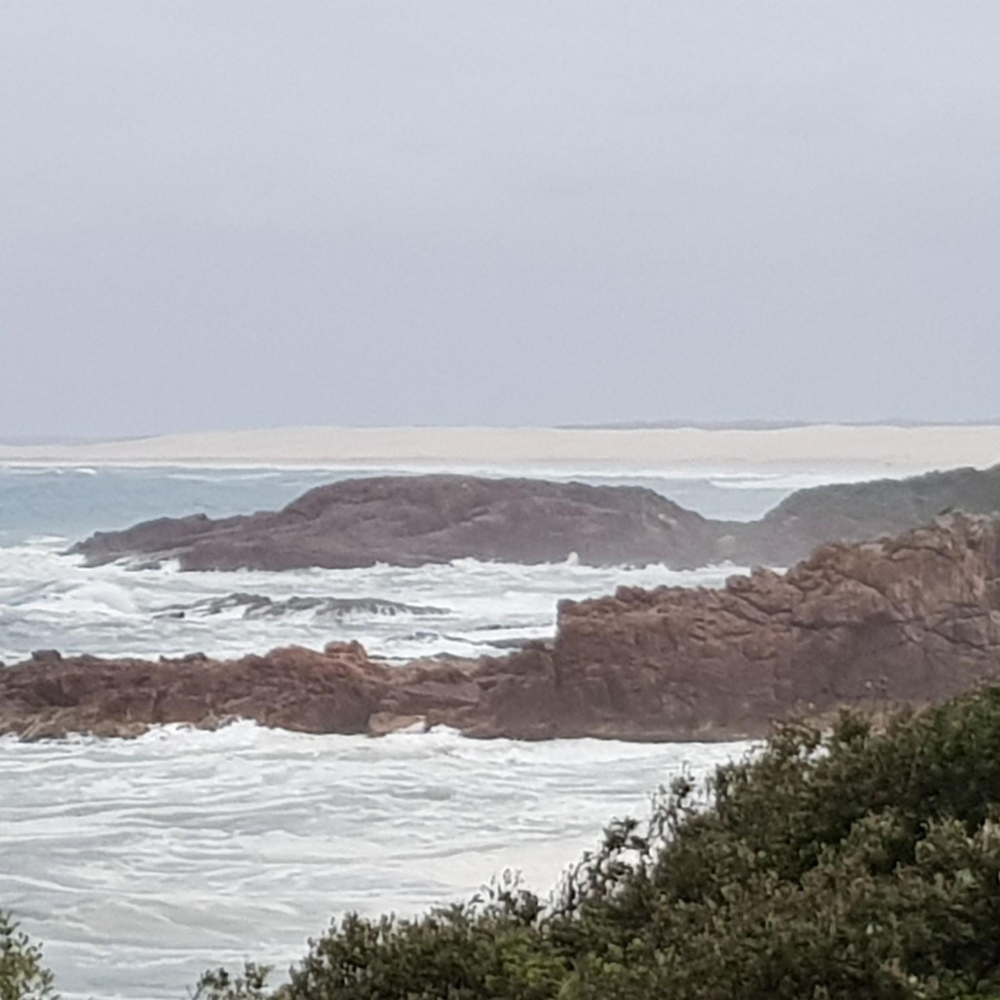
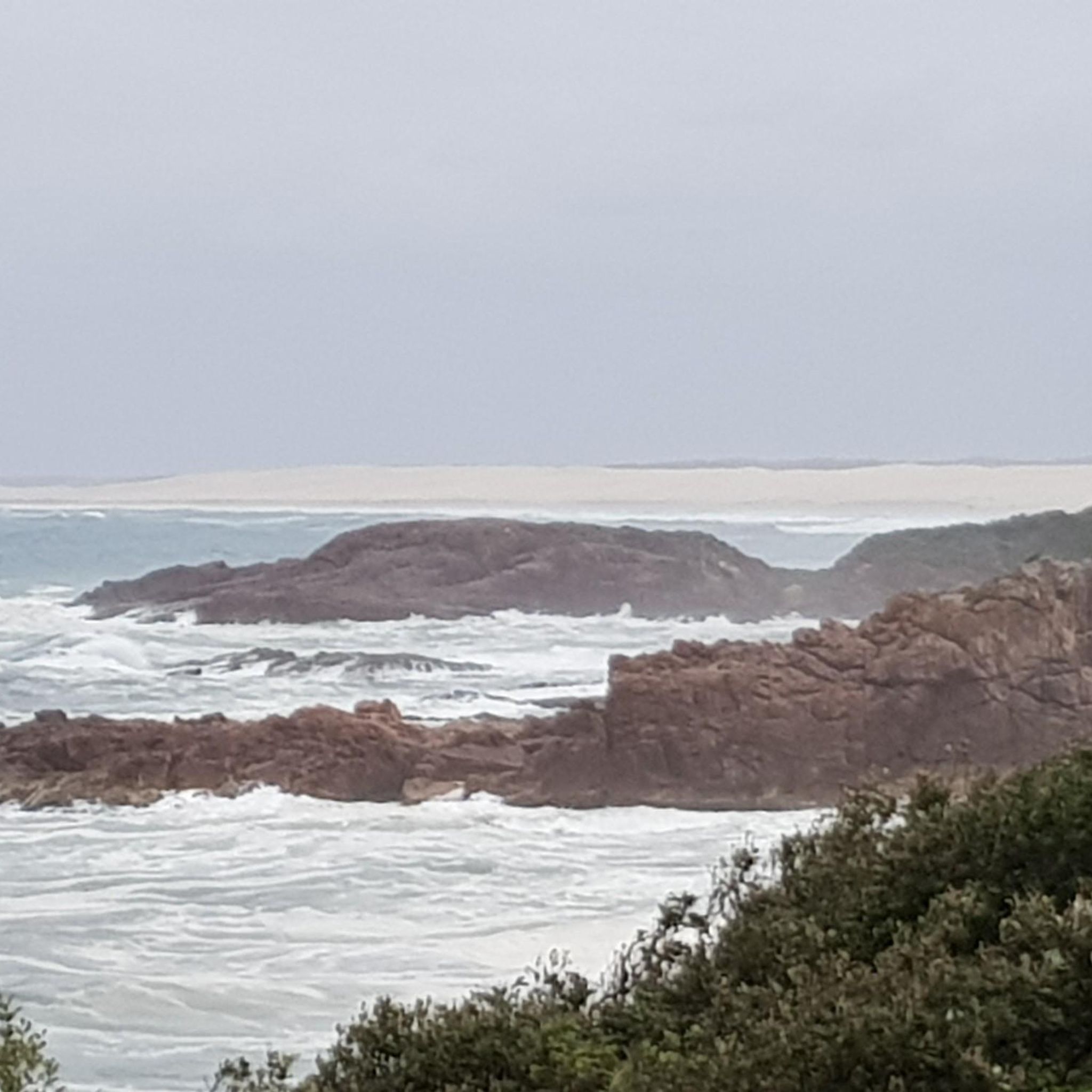
At the end of Big Rocky Trail sits The Rocky Cauldron, an ocean-carved red rock formation that churns waves around and can spray onlookers. This rock feature was shaped over years of battering and erosion from wind and water.
0
0
Rocky Beach sits near the end of Big Rocky Trail. The small sandy stretch of beach is protected by rock shelves, with colourful tide pools to explore. Be careful of larger waves breaking against the rocks.
0
0
The Big Rocky Trail is open to bushwalking, biking, and driving and leads to the Tasman Sea. The road is wide, and bushwalkers can walk side by side through trees, beach vegetation and sandy patches before reaching the ocean.
0
0

The World War II gun emplacements on Tomaree Head were constructed in 1941 to defend Australia’s east coast. These reinforced concrete structures once housed large coastal artillery designed to protect Port Stephens and nearby strategic infrastructure. Today, the remains are among the most visible relics of the site, standing as a reminder of its military past.
0
0
Tomaree Headland stands at the southern entrance to Port Stephens, with its rugged cliffs dropping steeply into the sea. There are several walking paths that wind through the coastal bush, leading to lookouts that offer impressive views of the bay and coastline. Its elevated position made it a key defence site during World War II, with fortifications built to monitor and protect the coastline. Today, it remains a prominent natural landmark where its military history sits quietly within the landscape.
0
0
Shoal Bay is a sheltered coastal bay at the northern edge of Port Stephens, known for its calm, clear waters and gently curving sandy beach. Framed by surrounding headlands, including Tomaree Head, the bay is protected from strong ocean swells, making it popular for swimming and boating. From here, the view across the water is beautiful, inviting you to slow down and take in the scenery.
0
0
This lookout sits at the summit of Tomaree Head, reached by the popular Tomaree Head Summit Walk. From here, there are fantastic, unobstructed views of the entrance to Port Stephens, including Shoal Bay, Zenith Beach, and the surrounding coastline. This elevated vantage point offers one of the most recognisable panoramas in the Port Stephens area.
0
0
Fort Tomaree Radar Station is a World War II military site located near the summit of Tomaree Head. Built to monitor shipping movements and detect potential enemy vessels or aircraft, the radar installation formed part of Australia’s coastal defence network. These remnants of the concrete structures that remain on the headland are a reflection of the importance of the area’s wartime history.
0
0
Frequently Asked Questions
How many hiking trails are available in Tomaree National Park?
Tomaree National Park offers nearly 20 distinct hiking routes, catering to various skill levels. You'll find a good mix, with 10 easy trails and 9 moderate options to explore.
Are there easy hiking options suitable for beginners or families?
Yes, Tomaree National Park is very family-friendly and offers 10 easy routes. A great option is the Tomaree Head Summit Walk, which is 2.1 km long and provides stunning panoramic views. Another easy choice is the View from Tomaree Mountain loop from Shoal Bay, a 3.8 km path with coastal views.
What kind of terrain and elevation can I expect on the trails?
The park features diverse terrain, including coastal paths, rocky shorelines, and trails leading to volcanic peaks. While some routes involve consistent inclines, like the Tomaree Head Summit Walk, many are well-maintained. Elevations are generally moderate, with the highest points offering expansive views over Port Stephens and surrounding islands.
What are the best times of year to go hiking in Tomaree National Park?
Spring is particularly beautiful, as the coastal heathland comes alive with wildflowers. The cooler months are also ideal for hiking, avoiding the peak summer heat. Whale watching season (May to November) offers an added bonus from coastal lookouts.
Are dogs allowed on the hiking trails in Tomaree National Park?
No, dogs and other pets are generally not permitted in Tomaree National Park to protect the native wildlife and natural environment. This is a common policy for national parks in NSW. For specific regulations, it's always best to check the official NSW National Parks website.
Are there any circular or loop walks in the park?
Yes, there are several excellent loop walks. For example, the View from Tomaree Mountain loop from Shoal Bay is an easy 3.8 km option. A longer, moderate loop is the View from Tomaree Mountain loop from Nelson Bay, which is 7.7 km and takes about 2 hours 5 minutes.
What interesting landmarks or attractions can I see along the trails?
Beyond the stunning natural beauty, you can explore historical sites such as the Point Stephens Lighthouse and the WWII Fortifications (Fort Tomaree) with their historic gun emplacements. The Birubi Point Aboriginal Place also offers insight into the strong Worimi connection to the land.
Where can I park when visiting Tomaree National Park for a hike?
Parking is available at various trailheads and popular access points within and around the park. For instance, you'll find parking facilities near Anna Bay, Fingal Bay, and Fishermans Bay, which are good starting points for many trails.
Can I reach Tomaree National Park using public transport?
While public transport options to the immediate trailheads might be limited, local bus services operate within the Port Stephens area, connecting towns like Nelson Bay, Shoal Bay, and Fingal Bay, which border the park. From these points, you may need to walk or arrange local transport to reach specific starting points.
What do other hikers enjoy most about hiking in Tomaree National Park?
The area is highly rated by the komoot community, with an average score of 4.8 stars from over 50 reviews. Hikers frequently praise the breathtaking panoramic views, the diverse coastal landscapes, and the well-maintained paths that make exploring accessible and enjoyable.
Are there opportunities for wildlife spotting while hiking?
Absolutely. Tomaree National Park is a haven for wildlife. Keep an eye out for koalas dozing in trees, sea eagles soaring overhead, and echidnas on the ground. The park is also home to numerous bird species, including migratory birds, and supports 41 threatened species.
Are there any longer coastal walks for multi-day adventures?
Yes, for those seeking a longer challenge, the Tomaree Coastal Walk spans 27 km. This multi-day hike retraces ancient Worimi routes and showcases the park's diverse landscapes, from beaches to headlands.
Most popular routes in Tomaree National Park
Most popular attractions in Tomaree National Park

Get inspired with the komoot mobile app


Explore more
Browse the best Hikes in other regions.
