The best road cycling routes in Hunter Wetlands National Park
4.9
(29)
839
riders
49
rides
Road cycling in Hunter Wetlands National Park features accessible, mostly flat, and well-maintained paths through diverse wetland ecosystems. The terrain is characterized by freshwater wetlands, saltmarshes, and mangroves, offering views of the Hunter River and its estuaries. Cyclists can expect paved surfaces suitable for various fitness levels, with minimal elevation changes. The park's routes provide opportunities to observe over 200 bird species and other wildlife within an internationally recognized ecological area.
Best road cycling routes in Hunter Wetlands National Park
…Last updated: November 17, 2026
5.0
(3)
29
riders
39.0km
02:11
270m
270m
Moderate road ride. Good fitness required. Mostly well-paved surfaces and easy to ride.
4.7
(15)
20
riders
33.9km
01:42
150m
150m
Easy road ride. Mostly well-paved surfaces and easy to ride.

5.0
(1)
10
riders
Moderate road ride. Good fitness required. Mostly well-paved surfaces and easy to ride.
8
riders
45.1km
02:32
500m
500m
Moderate road ride. Good fitness required. Mostly well-paved surfaces and easy to ride.
3
riders
28.9km
01:27
250m
250m
Easy road ride. Mostly well-paved surfaces and easy to ride.
Get access to more routes and recommendations from other explorers.
Already have an account?
Our route recommendations are based on thousands of hikes, rides, and runs completed by other people on komoot.
Start today with a free account
Your next adventure awaits.
Popular around Hunter Wetlands National Park
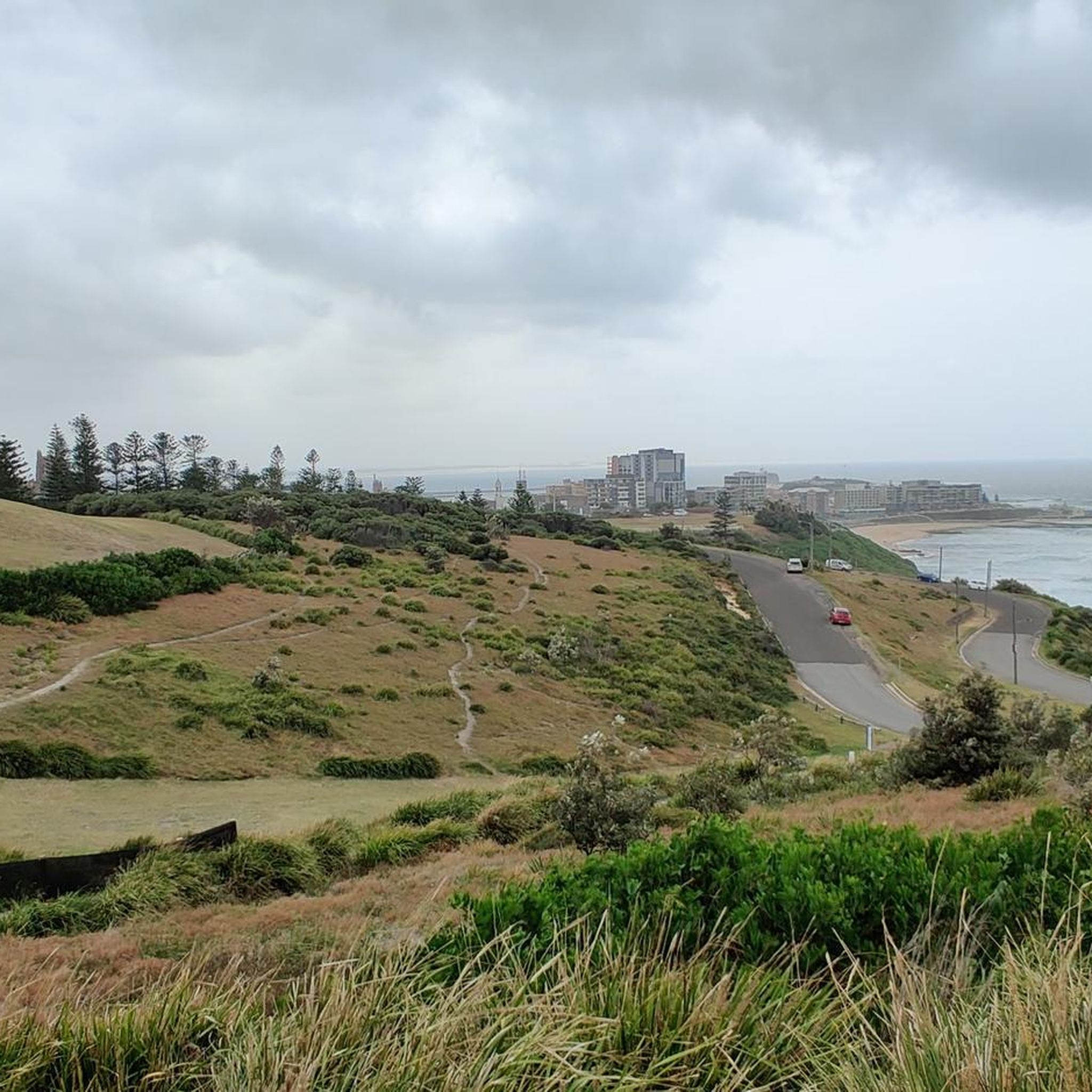
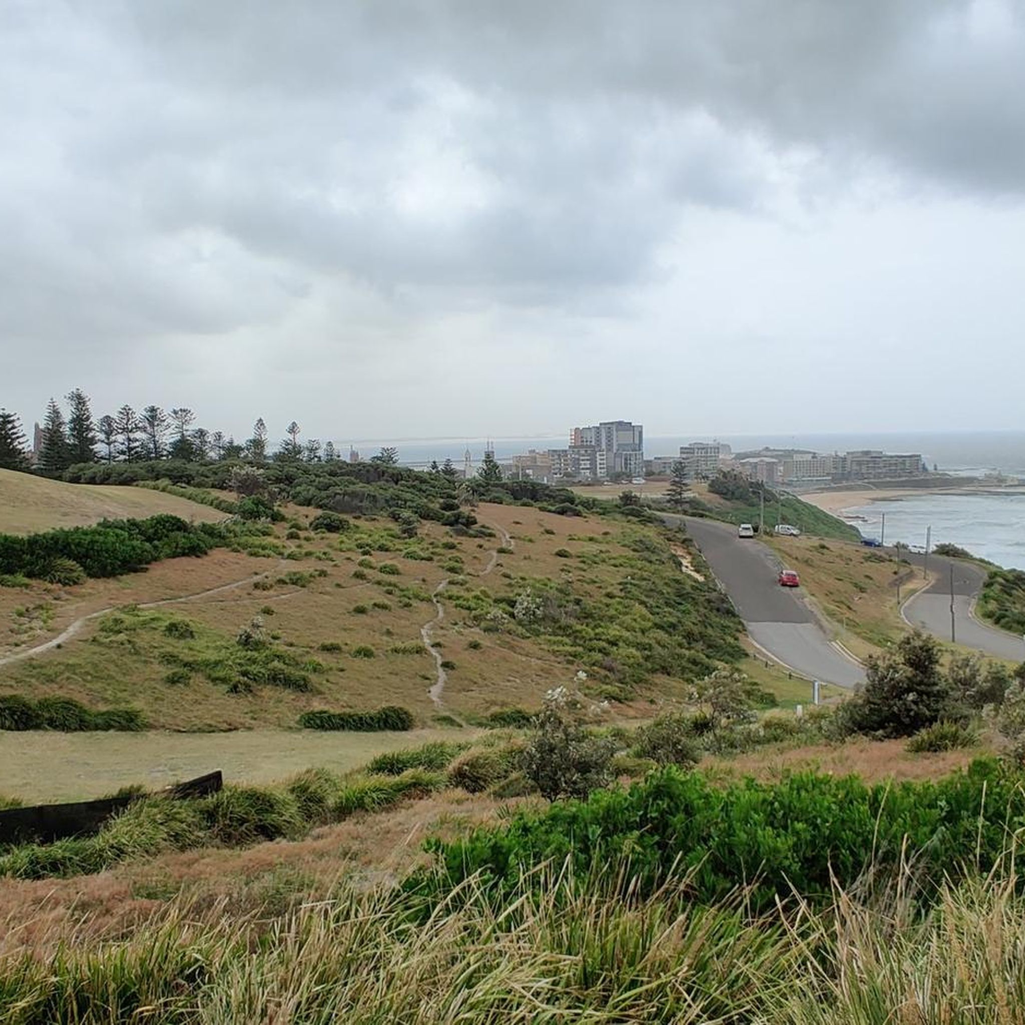
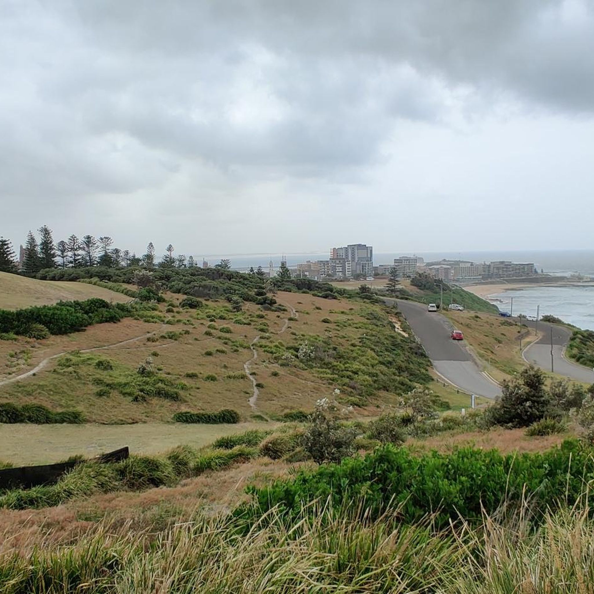
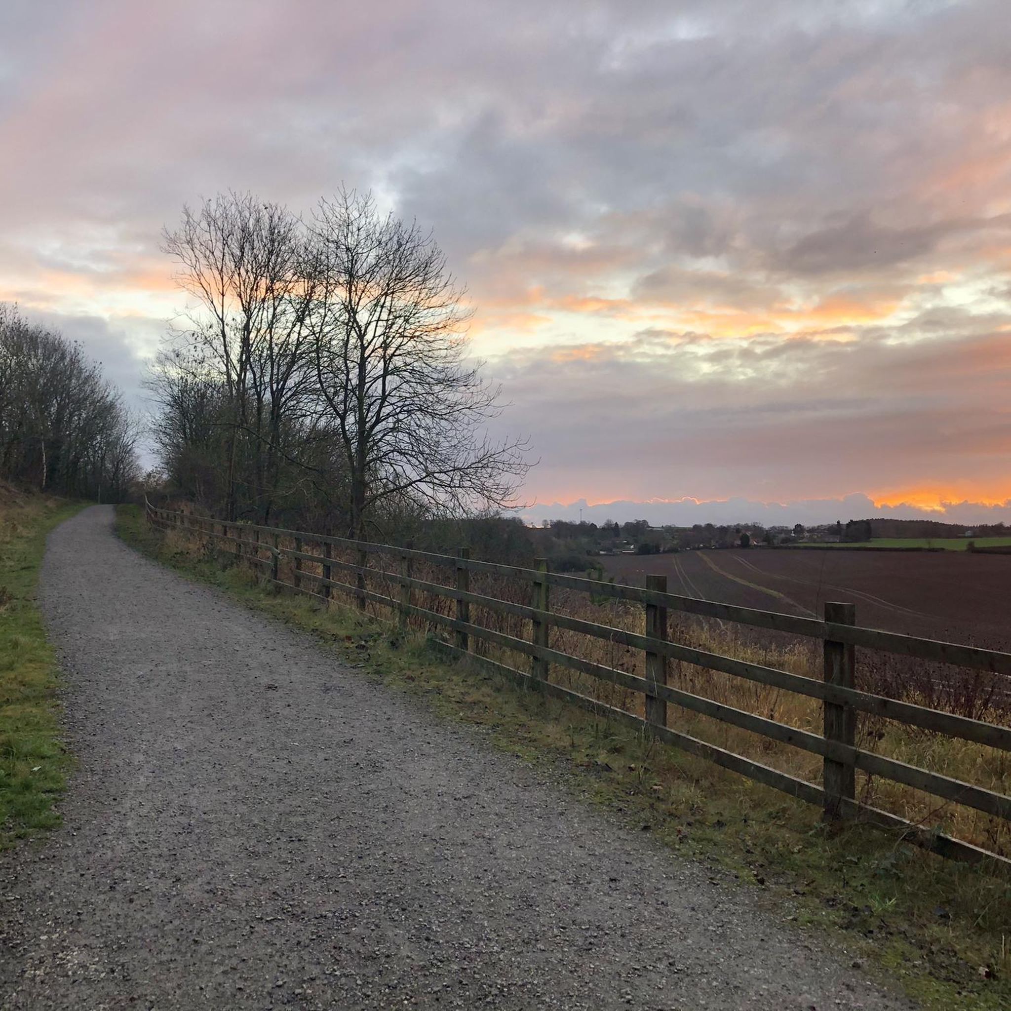
Tips from the Community

Throsby Creek Cycleway is a lovely, flat pathway that hugs the foreshore of Throsby Creek through Wickham, Maryville, Carrington, and Islington. It's a paved route that passes mangroves, marinas, parks, and tidal wetlands, with beautiful views of the water, and connects with Newcastle's wider network of walking and cycling paths. Its easy grades and waterfront setting make it a great choice for walking, running or cycling away from traffic.
0
0

Warners Bay Foreshore follows the edge of Lake Macquarie with wide shared paths, parks, cafés, and long stretches of open water views along the lakeside. The flat waterfront route is popular for walking and cycling, especially around sunset when the light reflects across the lake and sailing boats move through the bay. Picnic areas, playgrounds, public art, and plenty of benches line the foreshore, making it an easy place to slow down between longer walking sections.
0
0
Sky Pig is one of the most recognisable sculptures along the Warner's Bay Foreshore, perched beside the lake with open water views behind it. Created by artist Guan Wei as part of the Creative Lake Sculpture Trail, the bronze flying pig was designed to bring a sense of fun and good luck to the waterfront walk. It’s an easy landmark to spot along the shared foreshore path and has become one of the most photographed artworks around Lake Macquarie.
0
0
Lake Macquarie is the largest coastal saltwater lake in Australia, forming a broad, open water body surrounded by suburbs, parkland, and small inlets. From the shoreline, views stretch across long distances of water, often with boats, jetties, and changing light reflecting off the surface. It makes for a beautiful, breezy walk.
1
0
This section of the Great North Walk follows the foreshore of Lake Macquarie through Speers Point, combining lakeside shared paths with more urban parkland surroundings. Compared to the bushier sections further south on the track, this stretch feels much more open, with regular access to cafés, playgrounds, picnic areas, and waterfront reserves. The route links through Speers Point Park and continues along the lake edge toward Warners Bay and Newcastle.
0
0
Nobbys Beach is one of Newcastle’s most prominent and accessible beaches, nestled at the entrance to the Hunter River near the iconic Nobbys Head and lighthouse. It’s well known as one of the safer swimming spots in the city, popular with families, beginner surfers, and walkers enjoying the adjacent breakwall and coastal paths. Surrounded by open parkland, benches, picnic areas, and shaded shelters, the beach is a great place to relax and spend the day, with beautiful views of passing ships. It is also a great place to start or finish the Bathers Way coastal walk.
0
0


The only thing better than the view from The Wickhamboat Shed is the food! Whether you come for breakfast, lunch, or you morning coffee you won't be dissapointed.
0
0
Frequently Asked Questions
How many road cycling routes are available in Hunter Wetlands National Park?
Hunter Wetlands National Park offers over 60 road cycling routes. These routes vary in difficulty, with options for easy, moderate, and more challenging rides, ensuring there's something for every cyclist.
What are the general characteristics of road cycling routes in Hunter Wetlands National Park?
The road cycling routes in Hunter Wetlands National Park are generally flat and feature mostly paved surfaces, making them accessible for various fitness levels. You'll ride through diverse wetland ecosystems, including freshwater wetlands, saltmarshes, and mangroves, often with scenic views of the Hunter River and its estuaries.
Are there easy road cycling routes suitable for beginners or families in Hunter Wetlands National Park?
Yes, the park has 21 routes classified as easy, making them ideal for beginners or family outings. These routes typically feature well-maintained, flat paths. An example of an easy route is Nobbys Beach – Newcastle Beach Lookout loop from Sandgate, which offers coastal views.
What kind of wildlife can I expect to see while road cycling in Hunter Wetlands National Park?
Hunter Wetlands National Park is a significant wildlife sanctuary, home to over 200 bird species, making it a birdwatcher's paradise. Cyclists may also spot other wildlife such as green and golden bell frogs and eastern free-tail bats within the diverse wetland habitats.
Are there any specific attractions or points of interest along the cycling routes?
Yes, within the park, you can explore Ash Island, where Riverside Park is a great picnic spot with Hunter River views. Trails also lead to historical sites like an old World War II radar station and the ruins of Milham's Farmhouse. You might also encounter hand-carved totem poles representing local flora and fauna.
What is the best time of year to go road cycling in Hunter Wetlands National Park?
While specific seasonal recommendations are not provided, the generally flat and paved nature of the trails suggests that cycling is enjoyable for much of the year. It's always advisable to check local weather conditions before your ride, especially during warmer months or potential rainy seasons.
Are there any loop routes for road cycling in the area?
Yes, many of the road cycling routes in and around Hunter Wetlands National Park are designed as loops. For instance, the Matey's Coffee Van – Lake Macquarie loop from Warabrook is a popular moderate loop, and the Matey's Coffee Van – Whitebridge Railway Station loop from Warabrook also offers a circular journey through varied landscapes.
Where can I find parking for road biking in Hunter Wetlands National Park?
While specific parking locations are not detailed, the accessibility of the park and its trails suggests designated parking areas are available. It is recommended to check the official National Parks website for detailed visitor information and parking facilities before your visit: NSW National Parks.
Are there cafes or places to get refreshments near the road cycling trails?
The region offers various amenities. While specific cafes directly on the trails within the immediate park are not highlighted, routes like Table 1 Espresso loop from Warabrook suggest that cafes are accessible in nearby areas, often integrated into the wider cycling network.
What do other road cyclists enjoy most about road cycling in Hunter Wetlands National Park?
The area is highly rated by the komoot community, with an average score of 4.9 stars from over 20 reviews. Cyclists often praise the well-maintained, mostly paved surfaces, the tranquil natural setting, and the opportunities for wildlife spotting within the diverse wetland ecosystems.
Are there any advanced or difficult road cycling routes in Hunter Wetlands National Park?
While the park is known for its generally flat terrain, there are 5 routes classified as difficult for those seeking a greater challenge. These routes may feature longer distances or more varied elevation changes, often connecting to wider regional attractions beyond the immediate park boundaries.
Can I reach Hunter Wetlands National Park by public transport for road cycling?
The park is accessible, and while direct public transport to every trail head might vary, major transport hubs in nearby towns like Warabrook (a starting point for several routes) can provide connections. For detailed public transport options, it's best to consult local transport authorities or the official park website.
Most popular routes in Hunter Wetlands National Park

Get inspired with the komoot mobile app


Explore more
Browse the best Road cycling routes in other regions.
