The best running trails in Marramarra National Park
21
runners
3
runs
Jogging in Marramarra National Park offers challenging routes through a rugged landscape. The park is characterized by significant elevation changes, dense bushland, and river views, providing a demanding experience for runners. The terrain often includes steep ascents and descents, making for physically engaging running routes.
Best jogging routes in Marramarra National Park
- The most popular jogging route is Naa Badu Lookout loop from Berowra Heights, a 7.8 miles (12.5 km) trail that takes 1 hour 39 minutes to complete.…
Last updated: November 17, 2026
5
runners
12.8km
01:40
390m
390m
Hard run. Very good fitness required. Mostly paved surfaces.
4
runners
13.4km
01:36
320m
330m
Hard run. Very good fitness required. Mostly paved surfaces.

10
runners
19.3km
02:31
500m
500m
Hard run. Very good fitness required. Mostly paved surfaces.
2
runners
Hard run. Very good fitness required. Mostly paved surfaces.
Our route recommendations are based on thousands of hikes, rides, and runs completed by other people on komoot.
Start today with a free account
Your next adventure awaits.
Tips from the Community

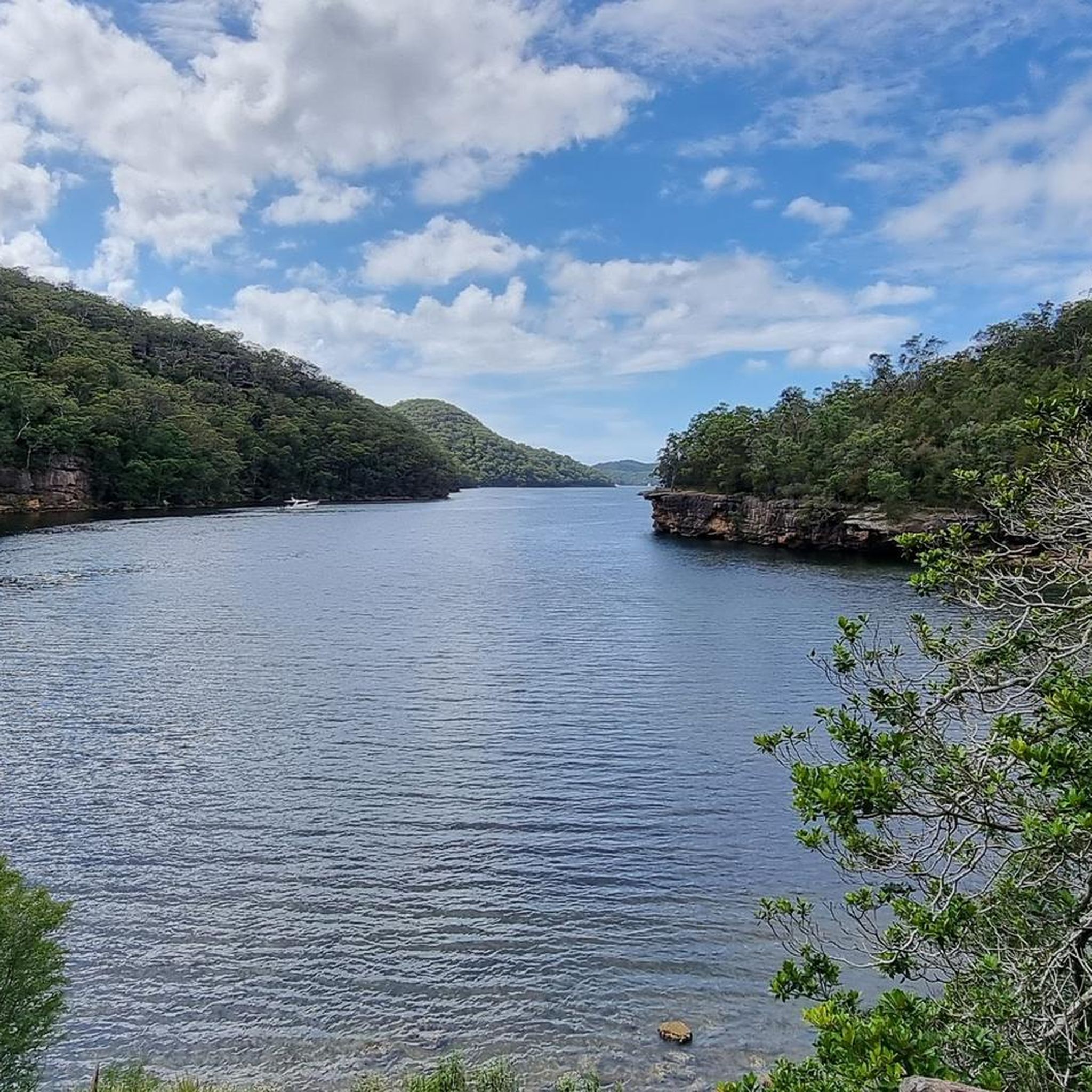
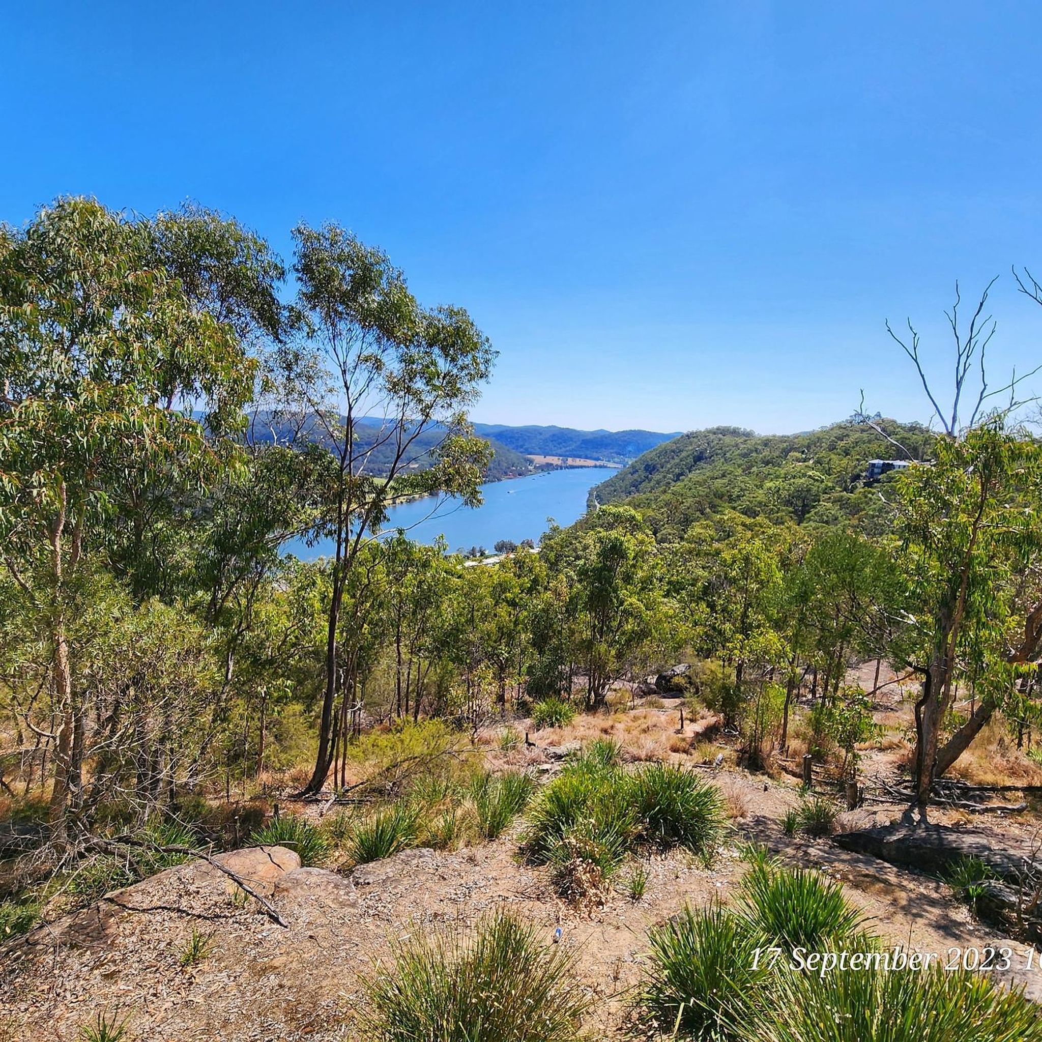
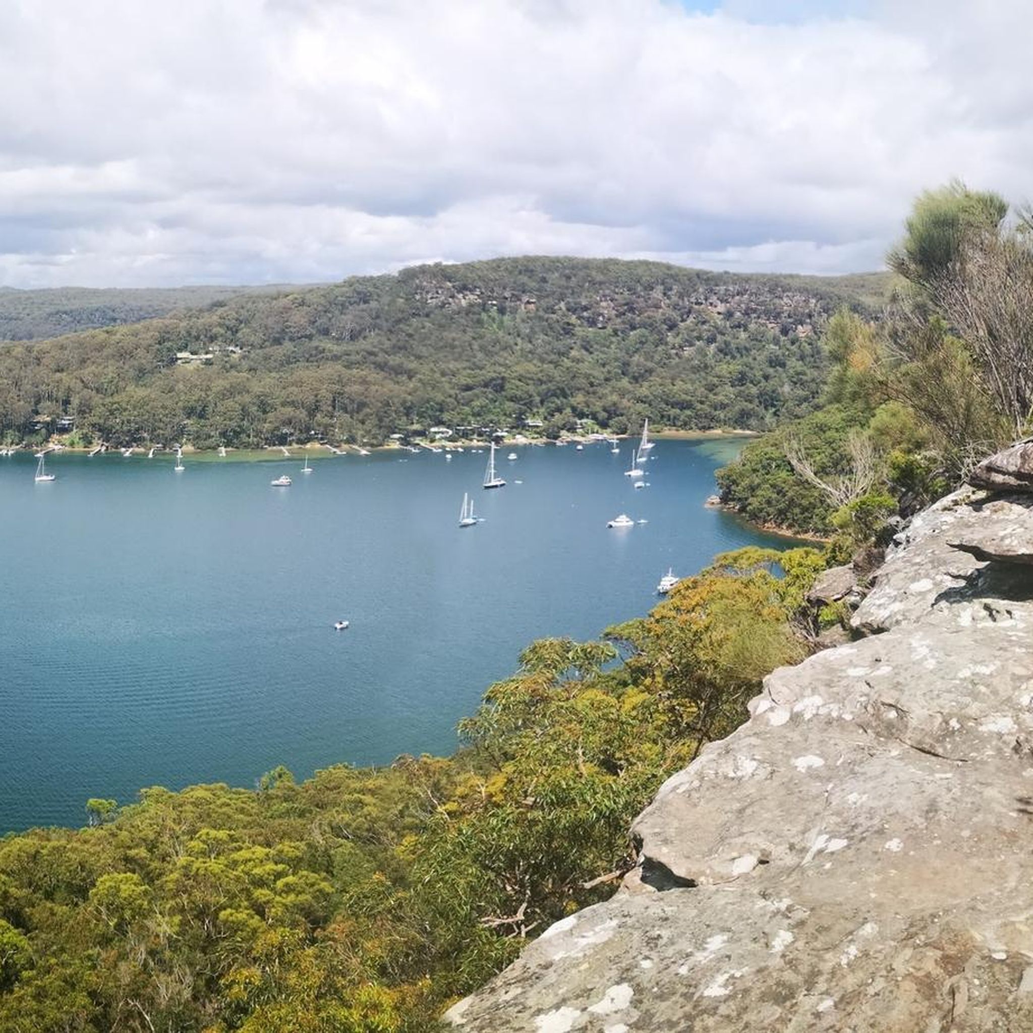
This breathtaking lookout over the Berowra Creek Valley is one of the best you'll find in the Berowra area. With panoramic views and a comfortable bench, it's a great place to pause for a moment to enjoy the stunning scenery.
0
0

This trailhead is accessible from Berowra station and is the northern access point of the Berowra Track from Mount Ku-ring-gai. The track is steep and runs along Waratah and Cowan Creeks, with some great lookout points along the way.
0
0
This stretch of the Great North Walk follows on the ridge above Berowra Creek. You'll find benches on the pathway as well, so you can take a break to enjoy the views.
0
0
Berowra is a popular town for hikers, cyclists, and other outdoor enthusiasts of the great Sydney area. There is a popular hiking track between Berowra and Cowan that makes up part of The Great North Walk. Though this is usually done as a point to point walk, the convenient public transit links between the two towns make it easy to get back to your starting point.
0
0

Lyrebird Gully Track stretches 8.6 kilometers one way, and on each side of the track is a trackhead. This is the southernmost track head; both the north and south track heads have a train station, so bushwalkers can walk the Lyrebird Gully Track as an out-and-back or one-way and return to the other end on a 15-minute train ride.
0
0
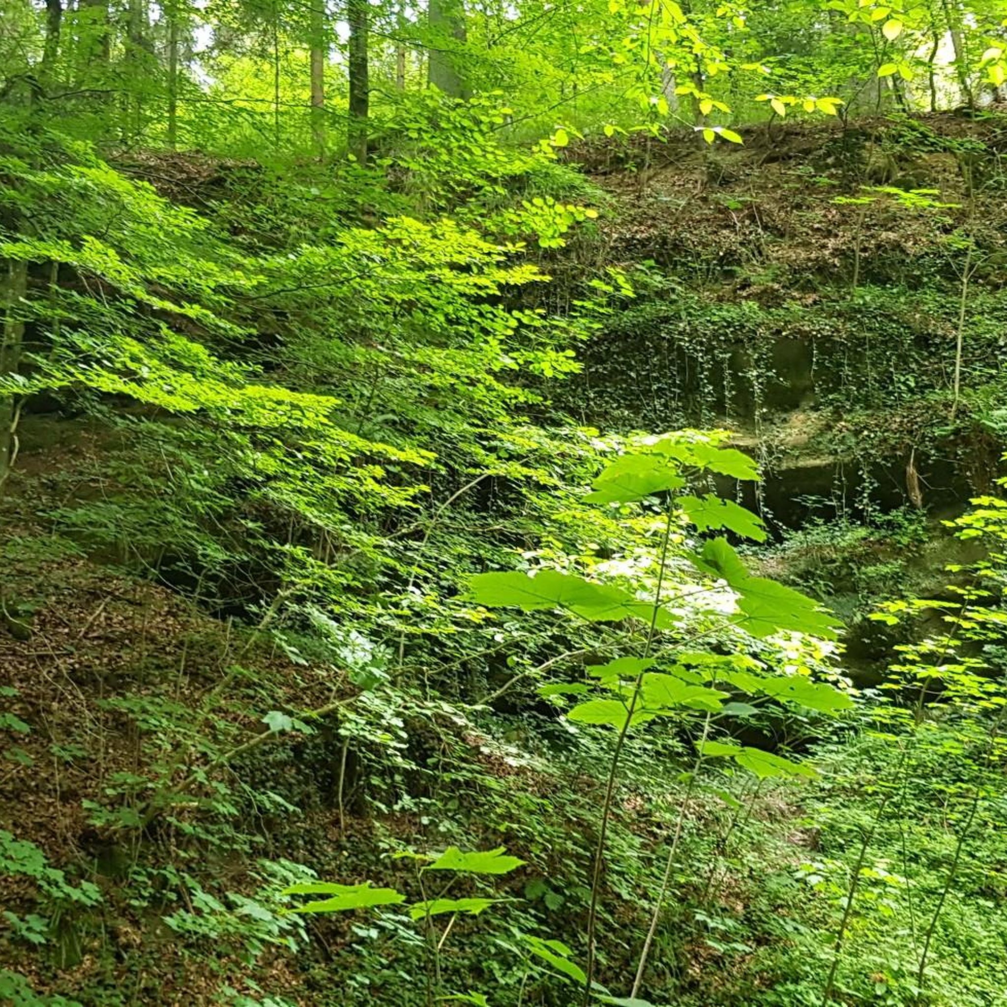
Calna Creek is a tributary of Berowra Creek, and along the Lyrebird Gully Track, the creek has taller trees that provide lots of shade. There are little waterfalls and small pools that make great bush swimming holes.
1
0
Berowra Creek Bridge has an informational sign about the old Twin Log Calna Creek Footbridge that once crossed Calna Creek here. On the east side of the river, there are boardwalks over marshes and the Calna Creek Campsite.
1
0
Ridge Top Campground is a remote, hike-in-only campsite tucked along a ridgeline in a peaceful forest. There are flat clearings to set up tents and a pit toilet.
0
0
Frequently Asked Questions
What kind of running experience can I expect in Marramarra National Park?
Running in Marramarra National Park offers a challenging experience through rugged landscapes. The routes are characterized by significant elevation changes, dense bushland, and scenic river views, making them ideal for experienced runners seeking a physically engaging workout.
Are there any easy jogging routes for beginners in Marramarra National Park?
Marramarra National Park primarily features routes with a 'difficult' grading due to substantial elevation gains and varied terrain. There are no easy or moderate jogging trails listed, so runners should be prepared for a demanding experience.
How many jogging routes are available in Marramarra National Park?
There are currently 6 jogging routes detailed for Marramarra National Park on komoot. These routes showcase the park's unique and challenging terrain.
Are the running routes in Marramarra National Park circular?
Yes, many of the running routes in Marramarra National Park are designed as loops, allowing you to start and finish at the same point. For example, you can explore the Naa Badu Lookout loop from Berowra Heights or the Pool – Calna Creek loop from Berowra.
What are some of the longer running trails in the park?
For those looking for a longer challenge, the Brooklyn Dam – Site of Windybanks Boatshed loop from Hawkesbury River covers approximately 22 km. Another substantial option is the Brooklyn Dam – Site of Windybanks Boatshed loop from Cowan, which is about 19.9 km long.
What kind of views can I expect along the jogging routes?
The running routes in Marramarra National Park offer diverse scenery, including dense bushland, creek areas, and significant river views, particularly along the Hawkesbury River. The Naa Badu Lookout loop from Berowra Heights, for instance, provides excellent vistas over the surrounding natural environment.
What should I bring when running in Marramarra National Park?
Given the challenging nature of the trails, it's essential to be well-prepared. We recommend carrying plenty of water, navigation tools (like the komoot app), appropriate trail running shoes, sun protection, and a first-aid kit. Always check weather conditions before heading out.
Is Marramarra National Park suitable for family jogging or running with children?
Due to the 'difficult' grading and significant elevation changes across all listed routes, Marramarra National Park's jogging trails are generally not recommended for young children or families seeking easy, leisurely runs. They are better suited for experienced runners.
Can I bring my dog on the running trails in Marramarra National Park?
As a national park, Marramarra National Park has strict rules regarding pets. Dogs and other domestic animals are generally not permitted on walking or running trails to protect native wildlife. Always check the NSW National Parks and Wildlife Service website for the most current regulations before planning your visit.
What is the best season for running in Marramarra National Park?
The best season for running in Marramarra National Park is typically during the cooler months of autumn and spring. Summers can be very hot, and bushfire risk is higher. Always check the weather forecast and park alerts before your run.
Are there any specific starting points or trailheads for these routes?
Yes, the routes often start from specific locations. For example, you can begin the Firefighters Rest – slipway loop from Berowra from Berowra, or the Brooklyn Dam – Site of Windybanks Boatshed loop from Cowan from Cowan.
What do other runners say about the trails in Marramarra National Park?
The trails in Marramarra National Park are highly regarded by the komoot community for their challenging nature and scenic beauty. Over 80 runners have used komoot to explore the park, appreciating the demanding ascents, dense bushland, and rewarding river vistas.
Most popular routes in Marramarra National Park

Get inspired with the komoot mobile app


Explore more
Browse the best Running Trails & Routes in other regions.
