The best road cycling routes in Marramarra National Park
4.0
(1)
220
riders
8
rides
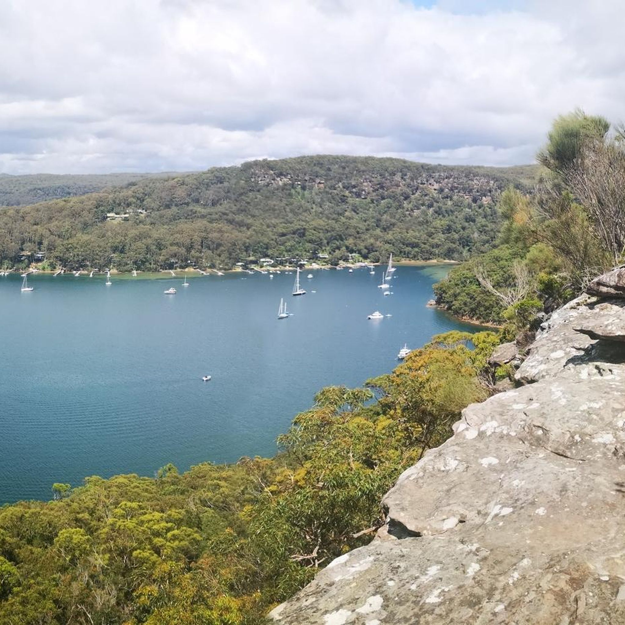
Road cycling routes in Marramarra National Park are situated within a diverse landscape characterized by the convergence of the Hawkesbury River and Berowra Creek on the Hornsby Plateau. The region features sandstone ridges, deep gullies, and varied ecosystems, including tall open forests and ridge-top woodlands. While the national park itself primarily offers fire trails suitable for mountain biking, several road cycling routes are available in its vicinity, often incorporating significant elevation changes. These routes provide access to the park's natural beauty, including pristine river systems and dramatic cliff-lines.
Best road cycling routes in Marramarra National Park
- The most popular road cycling route is Laughtondale Gully Road – Webbs Creek Ferry loop from Wisemans Ferry, a 36.3 miles (58.5 km) trail that takes 3 hours 20 minutes to complete. This route offers a moderate challenge with significant elevation gain.
- Another top favourite among local road cyclists is Gnomesville Hornsby Heights – Cowan Road loop from Berowra, a moderate 27.7 miles (44.5 km) path. This route navigates through varied terrain, often completed in about 2 hours.
- Local road cyclists also love the Cowan Road – Pie in the Sky loop from Berowra, a 16.7 miles (26.9 km) trail leading through forested areas, often completed in about 1 hour 19 minutes.
- Road cycling in Marramarra National Park is defined by sandstone ridges, river systems, and diverse forests. The network offers options for moderate to difficult ability levels, with routes featuring notable elevation changes.
- The guide includes highly-rated routes that showcase the best of the region's landscape. More than 200 road cyclists have used komoot to explore Marramarra National Park's varied terrain.
Last updated: November 17, 2026
10
riders
57.6km
03:08
620m
620m
Moderate road ride. Good fitness required. Some segments of this route may be unpaved and difficult to ride.
28
riders
45.0km
01:59
400m
400m
Moderate road ride. Good fitness required. Mostly well-paved surfaces and easy to ride.

20
riders
31.3km
01:28
360m
360m
Moderate road ride. Good fitness required. Mostly well-paved surfaces and easy to ride.
7
riders
85.5km
04:17
1,110m
1,110m
Hard road ride. Very good fitness required. Mostly well-paved surfaces and easy to ride.
7
riders
Moderate road ride. Good fitness required. Some segments of this route may be unpaved and difficult to ride.
Get access to more routes and recommendations from other explorers.
Already have an account?
Our route recommendations are based on thousands of hikes, rides, and runs completed by other people on komoot.
Start today with a free account
Your next adventure awaits.
Tips from the Community

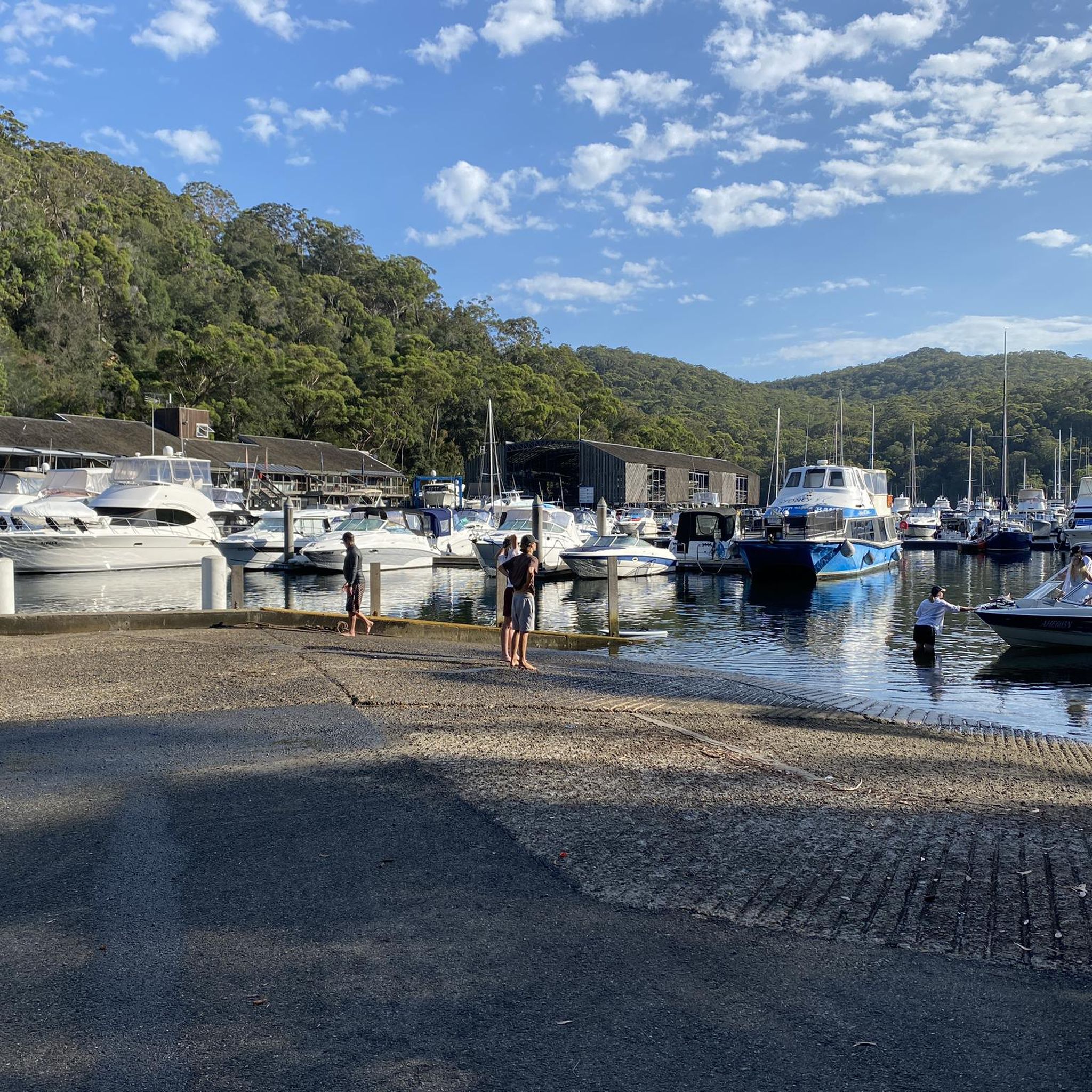
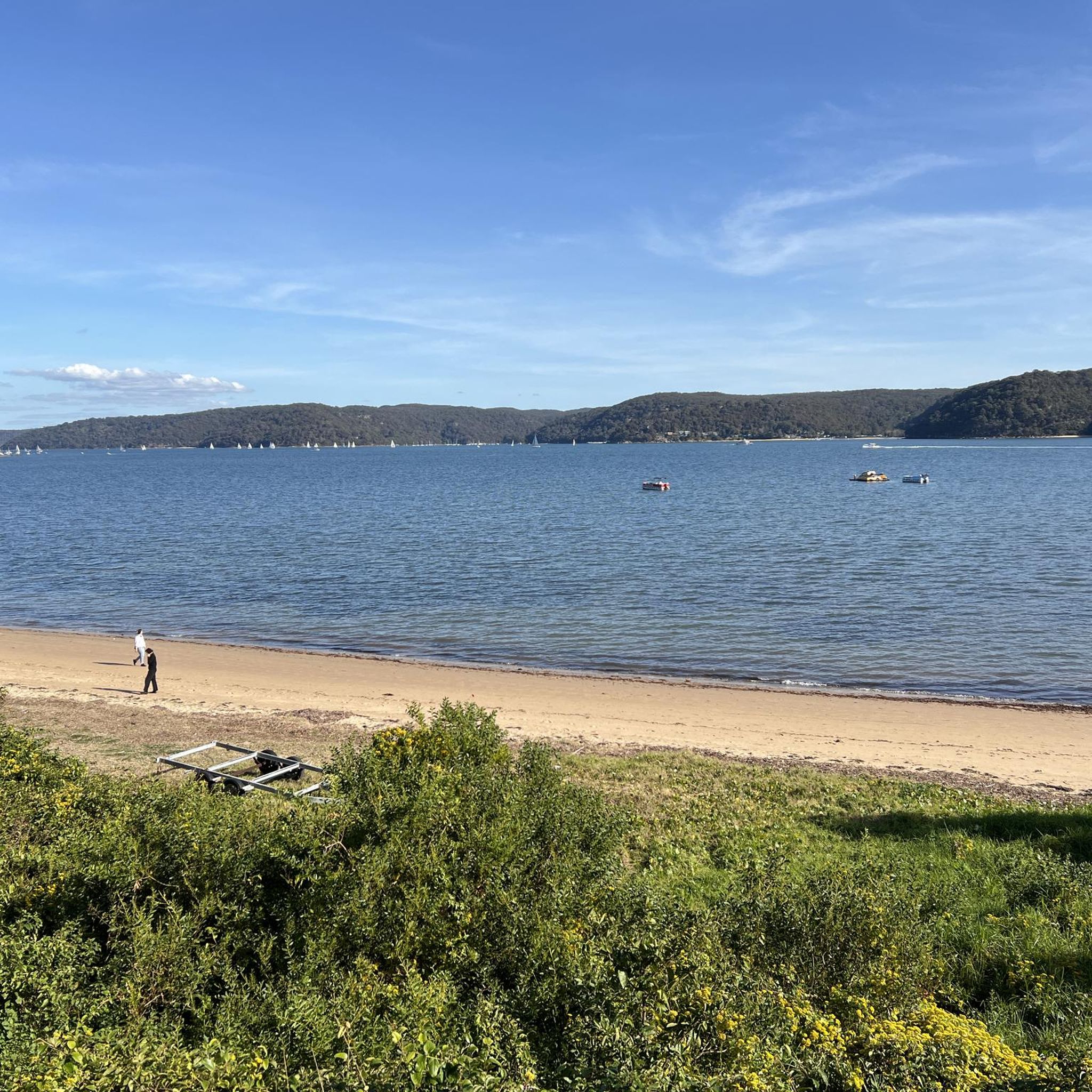
Bobbin Head is a large recreation area offering tons of attractions and facilities. It is a popular area to bushwalk, paddle, picnic, or go fishing, as well as dine, with educational opportunities. The public facilities here include barbecues, picnic tables, a children's playground, toilets, shelters and plenty of green space for a frisbee session or a cricket game. If you're hungry, there's a range of places to buy food like the Bobbin Head Inn Café, Waterside Bistro, and Empire Marina Bobbin Head. Head to the Bobbin Head Visitor Centre and learn through displays and video stories about local Aboriginal cultural heritage and the importance of the natural environment in Ku-ring-gai Chase National Park.
1
0

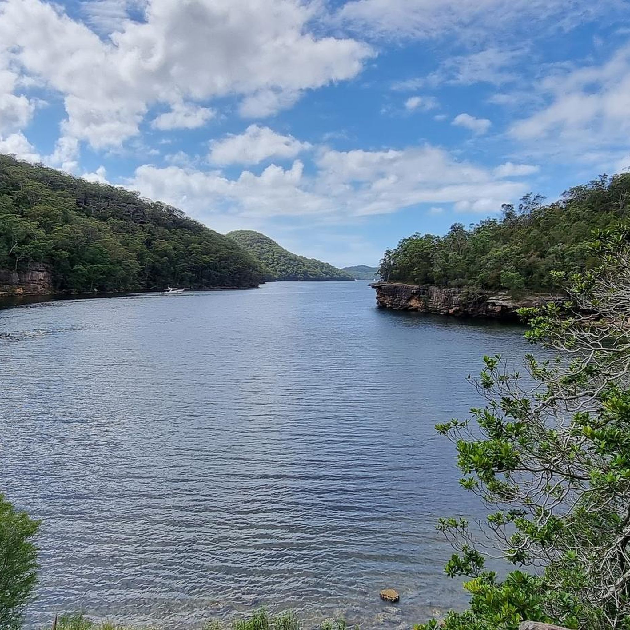
This trailhead is accessible from Berowra station and is the northern access point of the Berowra Track from Mount Ku-ring-gai. The track is steep and runs along Waratah and Cowan Creeks, with some great lookout points along the way.
0
0

Berowra is a popular town for hikers, cyclists, and other outdoor enthusiasts of the great Sydney area. There is a popular hiking track between Berowra and Cowan that makes up part of The Great North Walk. Though this is usually done as a point to point walk, the convenient public transit links between the two towns make it easy to get back to your starting point.
0
0
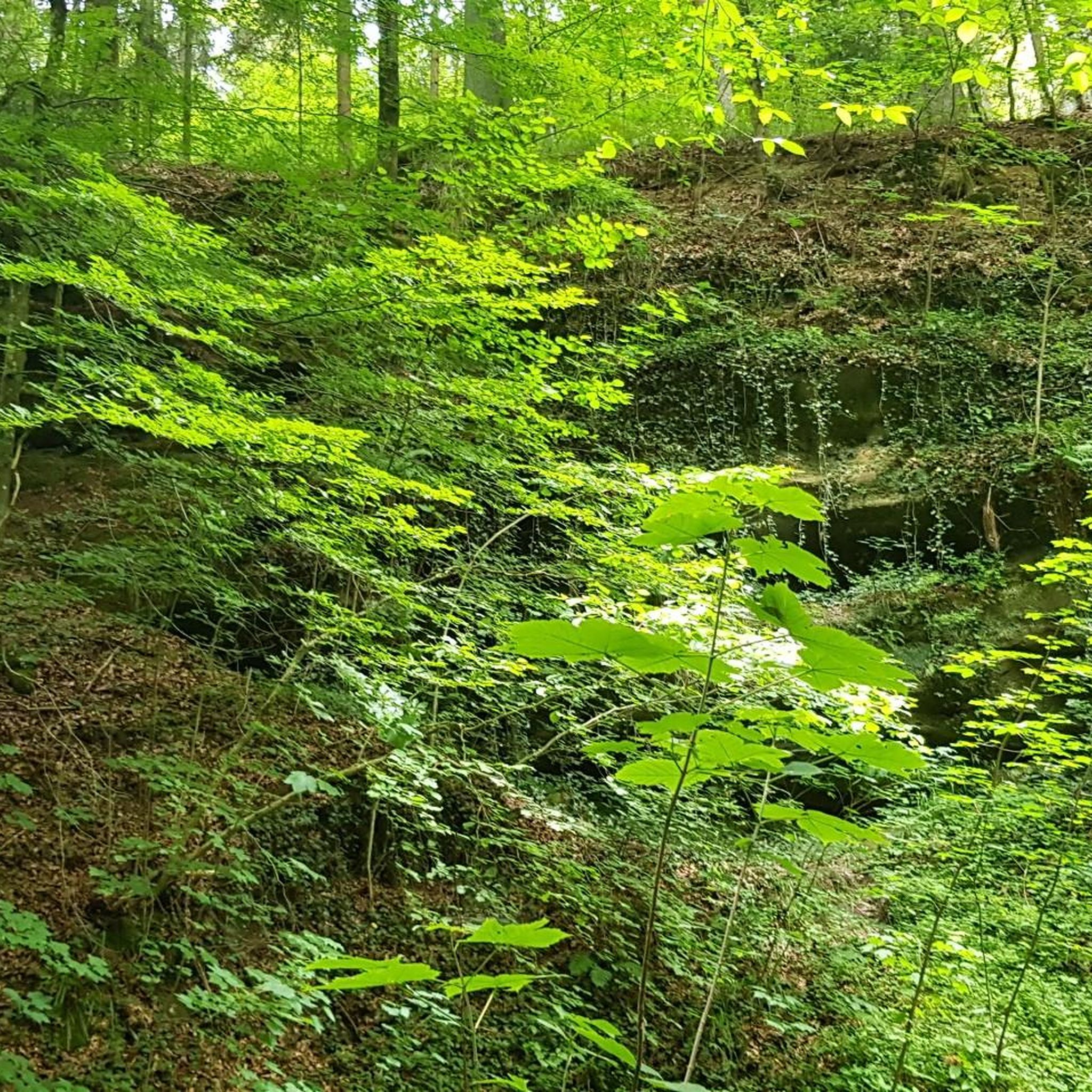
Lyrebird Gully Track stretches 8.6 kilometers one way, and on each side of the track is a trackhead. This is the southernmost track head; both the north and south track heads have a train station, so bushwalkers can walk the Lyrebird Gully Track as an out-and-back or one-way and return to the other end on a 15-minute train ride.
0
0
Tunks Creek Bridge is a historic truss road bridge spanning its namesake creek in Galston Gorge. The bridge was built between 1893-94 and spans 20 metres across the creek. It was added to the on the New South Wales State Heritage Register in June of 2000.
0
0

Beautiful picnic and boating area in Kuring gai Chase NP, Marina, Café, Restaurant
0
0


A great Pit Stop after or before a ride Home to Fuel up
0
0
Frequently Asked Questions
Are the road cycling routes in Marramarra National Park paved?
While Marramarra National Park itself features many unpaved fire trails more suited for mountain biking, the road cycling routes in its vicinity are generally well-paved. These routes offer scenic rides with varying elevation changes, providing a good workout on sealed surfaces.
What is the typical difficulty level for road cycling in Marramarra National Park?
The road cycling routes in the Marramarra National Park area are primarily rated as moderate to difficult. There are no easy routes listed in this guide, meaning cyclists should expect significant elevation changes and be prepared for a challenging ride. For example, the Bobbin Head – Bobbin Head Picnic Area loop from Berowra is considered difficult, featuring over 1,100 meters of elevation gain.
How long do the road cycling routes in Marramarra National Park typically take?
The duration of road cycling routes in the Marramarra National Park area varies depending on the distance and elevation. For instance, the Laughtondale Gully Road – Webbs Creek Ferry loop from Wisemans Ferry, which is 58.5 km long, typically takes around 3 hours and 20 minutes. Shorter routes, like the Cowan Road – Pie in the Sky loop from Berowra (26.9 km), can be completed in about 1 hour and 19 minutes.
Are there any family-friendly road cycling options in the Marramarra National Park area?
Given that all routes in this guide are rated moderate to difficult with notable elevation changes, dedicated family-friendly road cycling routes suitable for young children or beginners are not explicitly available within this selection. These routes are generally better suited for cyclists with moderate to good fitness levels.
Can I bring my dog on the road cycling routes?
Marramarra National Park is part of the NSW National Parks system, where dogs are generally not permitted on walking tracks or cycling trails to protect wildlife. While specific road cycling routes may pass through areas outside the immediate park boundaries, it's best to assume that dogs are not allowed on the trails themselves. Always check local regulations for any specific road sections.
What kind of scenery can I expect while road cycling near Marramarra National Park?
Road cycling routes in the Marramarra National Park area offer diverse and stunning scenery. You can expect to ride through landscapes characterized by sandstone ridges, deep gullies, and varied ecosystems including tall open forests and ridge-top woodlands. The routes often provide glimpses of the pristine river systems, such as the Hawkesbury River, and dramatic cliff lines that define the region.
Are there any challenging road cycling routes for experienced cyclists?
Yes, there are challenging road cycling routes for experienced cyclists. The Bobbin Head – Bobbin Head Picnic Area loop from Berowra is a difficult route spanning 84.9 km with over 1,100 meters of elevation gain, offering a significant test for seasoned riders. Many other routes are rated moderate, providing substantial climbs and descents.
What do other road cyclists say about the routes in Marramarra National Park?
The road cycling experience in the Marramarra National Park area is highly rated by the komoot community, with an average score of 4.0 stars. Cyclists often praise the challenging terrain, the natural beauty of the region, and the rewarding climbs and descents found on routes like the Laughtondale Gully Road – Webbs Creek Ferry loop from Wisemans Ferry.
Are there cafes or places to eat near the road cycling routes?
Yes, towns like Wisemans Ferry and Berowra, which serve as starting points or pass-through areas for several routes, offer cafes and other amenities where you can refuel. For example, Wisemans Ferry is a known spot for cyclists to grab a coffee or a meal before or after their ride.
Is public transport available to access the road cycling routes?
While direct public transport into Marramarra National Park itself is limited, some routes start from or pass through areas accessible by public transport, such as Berowra. However, due to the regional nature of these routes, having your own transport to reach starting points like Wisemans Ferry or specific points in Berowra is often the most convenient option for cyclists.
What is the best time of year for road cycling in Marramarra National Park?
Spring is particularly beautiful for road cycling in the Marramarra National Park area, as the park transforms with a vibrant display of wildflowers. Autumn also offers pleasant temperatures and scenic foliage. While summer can be hot, especially in the middle of the day, and winter can be cooler, these seasons can still be enjoyed with appropriate planning and gear.
Are there any permits required for road cycling in Marramarra National Park?
Generally, specific permits are not required for road cycling on public roads that pass through or border Marramarra National Park. However, if you plan to enter the national park for other activities or use facilities, standard park entry fees may apply. Always check the official NSW National Parks website for the latest information on fees and regulations: NSW National Parks and Wildlife Service.
Most popular routes in Marramarra National Park

Get inspired with the komoot mobile app


Explore more
Browse the best Road cycling routes in other regions.
