The best cycling routes in Towra Point Aquatic Reserve
4.6
(52)
1,136
riders
36
rides
Touring cycling in Towra Point Aquatic Reserve features routes primarily along coastal areas and through parklands adjacent to Botany Bay. The terrain is generally flat, offering accessible paths for various skill levels. This region is characterized by its estuarine environment, with some routes passing through areas with native flora and views of the bay.
Best touring cycling routes in Towra Point Aquatic Reserve
- The most popular touring cycling route is Sans Souci Pine Grove – Botany Bay loop from Woolooware…
Last updated: July 4, 2026
4.8
(4)
100
riders
31.8km
01:55
150m
150m
Easy bike ride. Great for any fitness level. Mostly paved surfaces. Suitable for all skill levels.
5.0
(1)
64
riders
25.2km
01:29
100m
100m
Easy bike ride. Great for any fitness level. Mostly paved surfaces. Suitable for all skill levels.

Sign up for free
6
riders
Easy bike ride. Great for any fitness level. Mostly paved surfaces. Suitable for all skill levels.
4.7
(3)
27
riders
Easy bike ride. Great for any fitness level. Mostly paved surfaces. Suitable for all skill levels.
10
riders
63.9km
04:26
910m
910m
Hard bike ride. Very good fitness required. You may need to push your bike for some segments of this route.
Get access to more routes and recommendations from other explorers.
Sign up for free
Already have an account?
Our route recommendations are based on thousands of hikes, rides, and runs completed by other people on komoot.
Start today with a free account
Your next adventure awaits.
Login or Signup
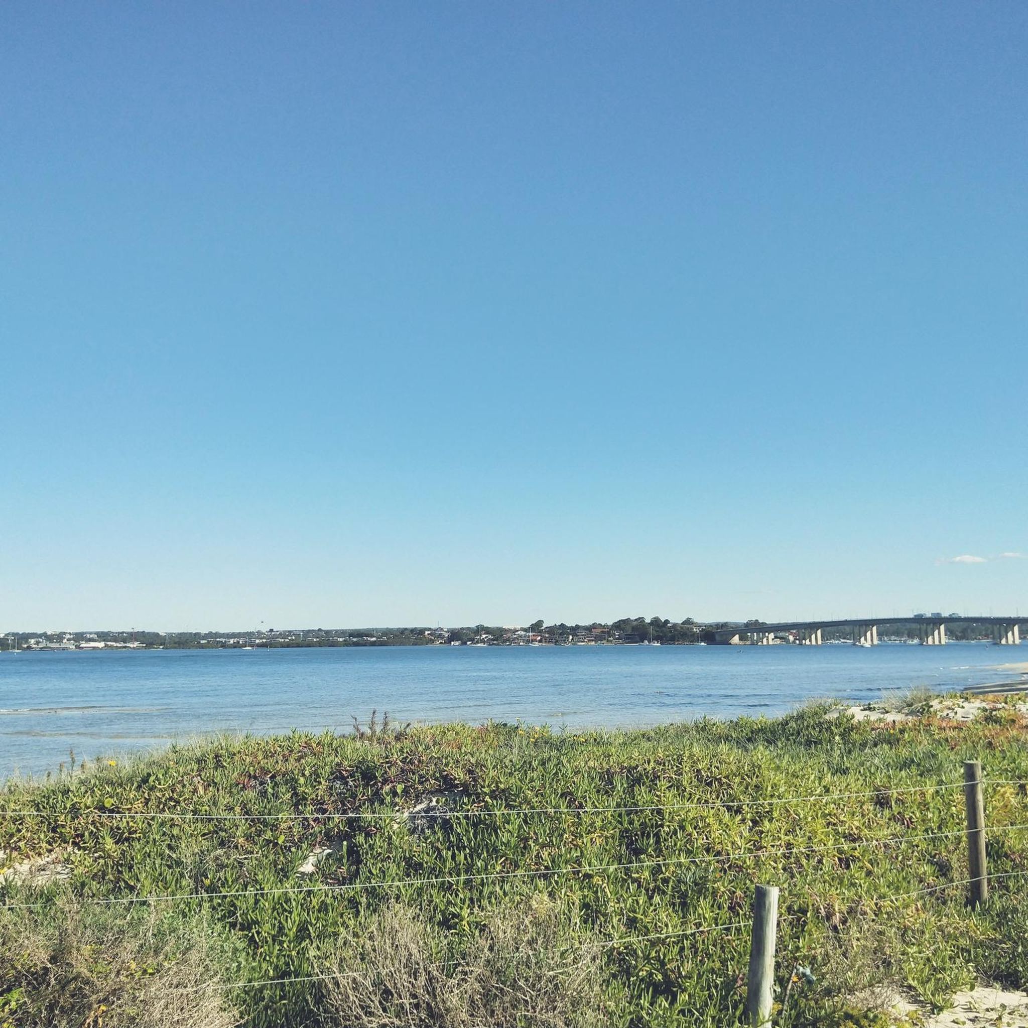
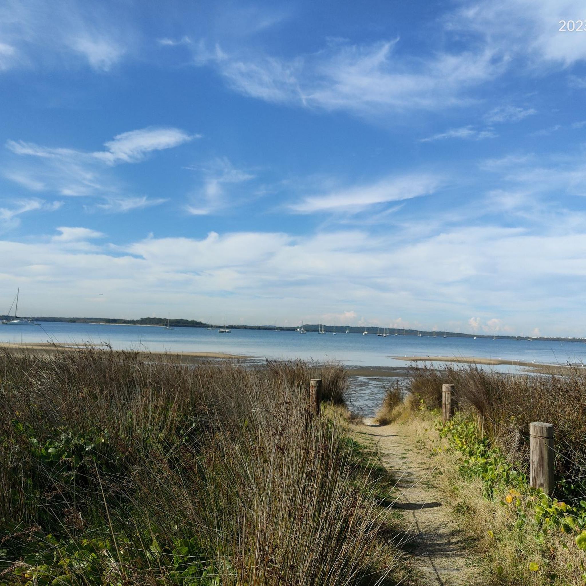
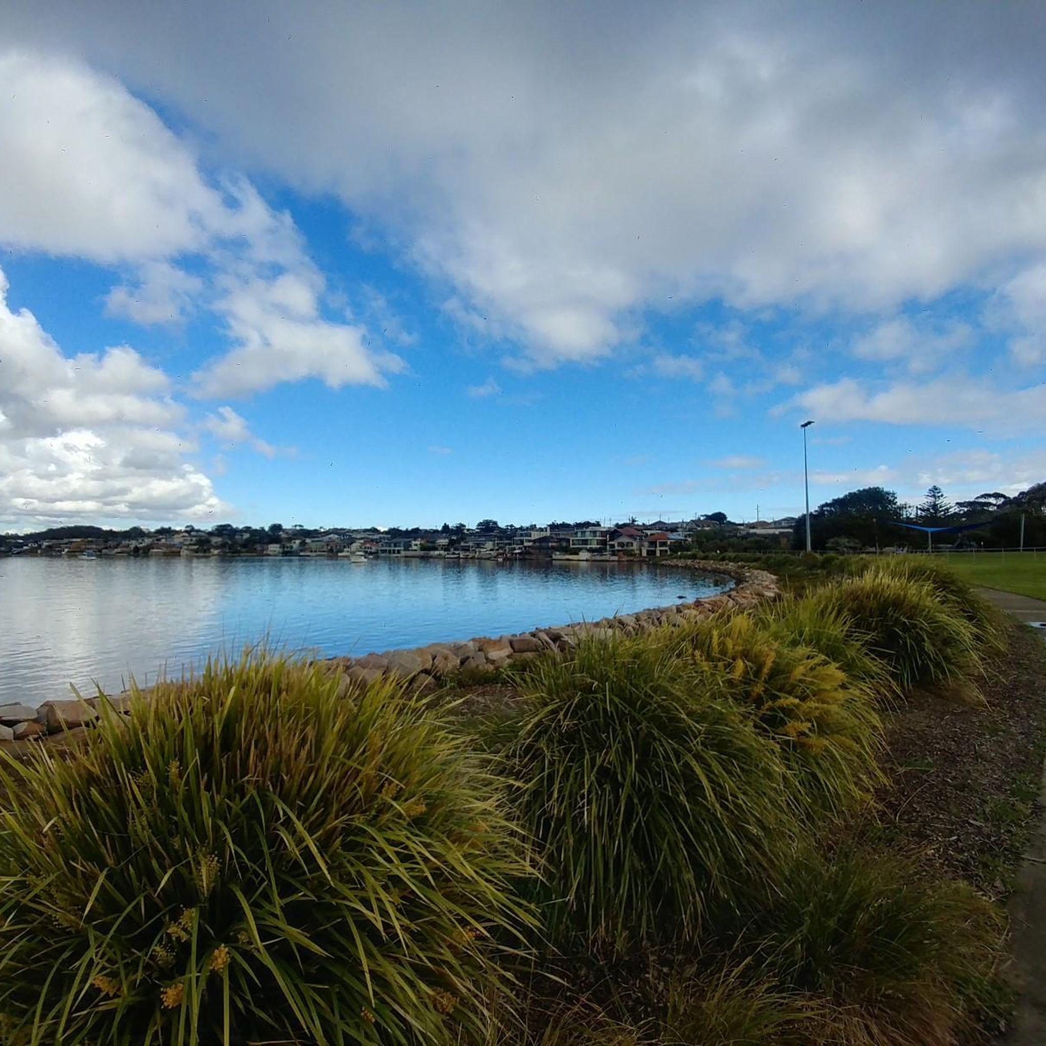
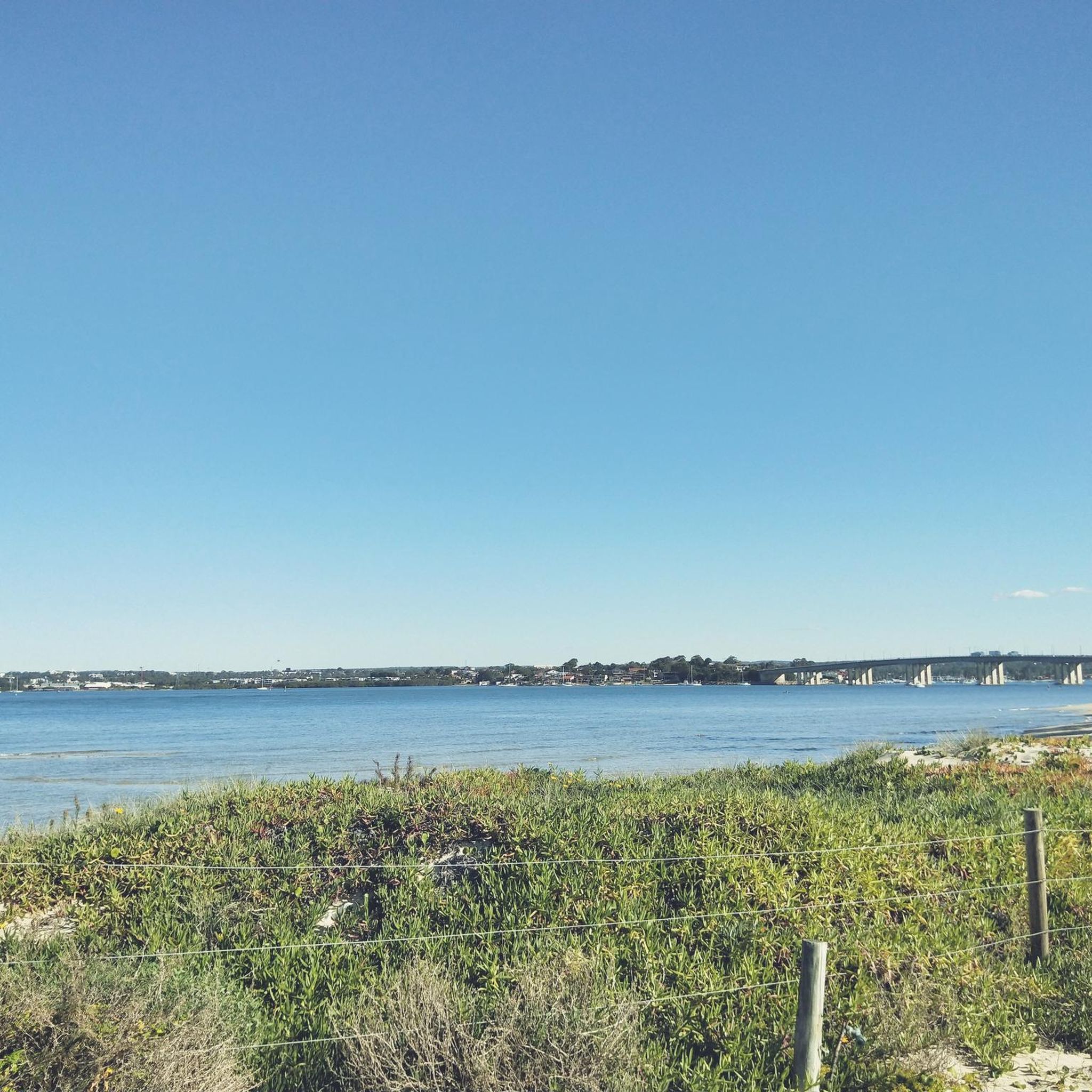

Tips from the Community

This is one of the best land-based whale watching lookouts in all of Australia. Humpback whales can be seen swimming by from May to October, but June and July are when you'll have the best chance to spot them. Due to the nature of the waters here the whales are sometimes only 200 metres offshore, which is why this is such a great whale watching viewpoint.
0
0

Georges River Sailing Club sits at the southern end of Cook Park, almost right on the sand. In the park there are toilets, car parks, water fountains and BBQs while in the sailing club there's a restaurant and the Kiss The Barista Café with waterfront views.
0
0

This informal roadside parking area sits along Grays Point Road at the junction with Florence Parade fire road in Royal National Park. It’s a simple pull-off on the side of the road with space for around eight cars. There are no marked bays or facilities, and it fills up quickly on weekends, so arriving early is recommended.
0
0
Royal National Park is Australia's oldest and one of its most visited national parks. Its location, just south of Sydney put it within easy range for the six million visitors it gets each year. You'll find everything from beaches and headlands to waterfalls and towering eucalyptus forest within its boundaries.
0
0
Follow a small spur trail from Florence Parade and you'll come to this viewpoint over the Hacking River. In fact there are a series of viewpoints along the ridge with some of them providing access down to the river.
0
0

Lady Margaret Beach sits at Dolls Point along Botany Bay, and is part of the longer Lady Robinsons Beach system, a continuous stretch of sand lining the bay’s western shore. This beautiful beach is part of a series of bayside beaches at the mouth of the Georges River, where typically calm waters meet the gently curving shoreline. Surrounded by Cook Park, its open setting and wide views across the bay make it a relaxed spot for swimming and enjoying the coastal surroundings.
0
0
Audley Visitor Centre and the surrounding picnic area sit right along the Hacking River in the central valley of Royal National Park. The historic precinct includes open lawns, picnic areas, and access to walking and cycling routes through the park. Set along the river near the Audley weir, it is a popular starting point for exploring the park’s bushland and waterways.
0
0
North Cronulla Beach marks the northern end of Cronulla’s long ocean beach and is a popular spot for swimming, surfing and coastal walks. As you follow the esplanade along the sand, you can look out across the open Pacific Ocean, with its waves rolling onto the expansive beach below. The grassy foreshore and surrounding cafés give the area a relaxed coastal atmosphere, making it a lively section of the walk.
0
0
Frequently Asked Questions
What is the general difficulty level of touring cycling routes in Towra Point Aquatic Reserve?
The routes in Towra Point Aquatic Reserve cater to various skill levels. You'll find a good mix of easy, moderate, and difficult trails. Specifically, there are 19 easy routes, 15 moderate routes, and 14 difficult routes available for touring cyclists.
Are there family-friendly or easy cycling routes suitable for beginners in Towra Point Aquatic Reserve?
Yes, Towra Point Aquatic Reserve offers several easy routes perfect for families and beginners. An excellent option is the Sans Souci Pine Grove – Eucalyptus Tree-Lined Pathway loop from Woolooware, which is 19.4 km long and generally flat, providing a pleasant ride through parklands.
What kind of scenery and natural features can I expect to see while cycling in Towra Point Aquatic Reserve?
Cycling in Towra Point Aquatic Reserve offers extensive coastal views along Botany Bay, estuarine environments, and parklands. Many routes pass through areas with native flora, providing opportunities to observe local wildlife and enjoy the natural beauty of the reserve.
Are there any circular cycling routes in Towra Point Aquatic Reserve?
Many of the touring cycling routes in Towra Point Aquatic Reserve are designed as loops, allowing you to start and finish at the same point. For example, the Botany Bay – Brighton-Le-Sands Beach loop from Sans Souci is a popular 14.8 km circular route offering bay views.
What is the average duration for completing a touring cycling route in this area?
The duration varies depending on the route's length and your pace. Shorter, easy routes like the Kamay Botany Bay Coastal View – Cape Solander loop from Kurnell can be completed in about 1 hour 30 minutes. Longer routes, such as the Sans Souci Pine Grove – Botany Bay loop from Woolooware, typically take around 2 hours 45 minutes.
What do other touring cyclists enjoy most about the routes in Towra Point Aquatic Reserve?
The area is highly rated by the komoot community, with an average score of 4.4 stars from over 80 reviews. Cyclists often praise the extensive coastal views, the generally flat terrain, and the opportunity to explore both parklands and estuarine environments.
What is the best time of year to go touring cycling in Towra Point Aquatic Reserve?
Given its coastal location, Towra Point Aquatic Reserve is generally pleasant for cycling during spring and autumn when temperatures are mild. Summer can be warm, while winter offers cooler, often clear days. Always check local weather forecasts before heading out.
Are there opportunities to see wildlife along the cycling trails?
Yes, as an aquatic reserve, Towra Point is rich in biodiversity. Cyclists often spot various bird species, especially waterbirds, in the estuarine areas. The native flora along the paths also supports local insect and small animal life.
Where can I find parking for the bike trails in Towra Point Aquatic Reserve?
Parking availability can vary depending on your chosen starting point. Many routes, especially those originating from Woolooware or Kurnell, have designated parking areas nearby, often associated with local parks or beach access points. It's advisable to check specific route details for parking recommendations.
Is public transport accessible to reach the cycling trails in Towra Point Aquatic Reserve?
Public transport options, primarily buses, serve the areas surrounding Towra Point Aquatic Reserve, including Woolooware and Kurnell. You can plan your journey to reach various starting points for the cycling routes. Check local transport schedules for the most up-to-date information.
Are there any cafes or amenities near the cycling routes for a break?
While Towra Point Aquatic Reserve itself is a natural area, the surrounding suburbs like Sans Souci, Woolooware, and Kurnell offer various cafes, shops, and amenities where you can refuel or take a break before or after your ride. Routes like the Kamay Botany Bay Coastal View – North Cronulla Beach loop from Woolooware pass closer to such facilities.
Most popular routes in Towra Point Aquatic Reserve

Get inspired with the komoot mobile app


Explore more
Browse the best Cycling routes in other regions.
