The best road cycling routes in Georges River National Park
4.6
(13)
924
riders
34
rides
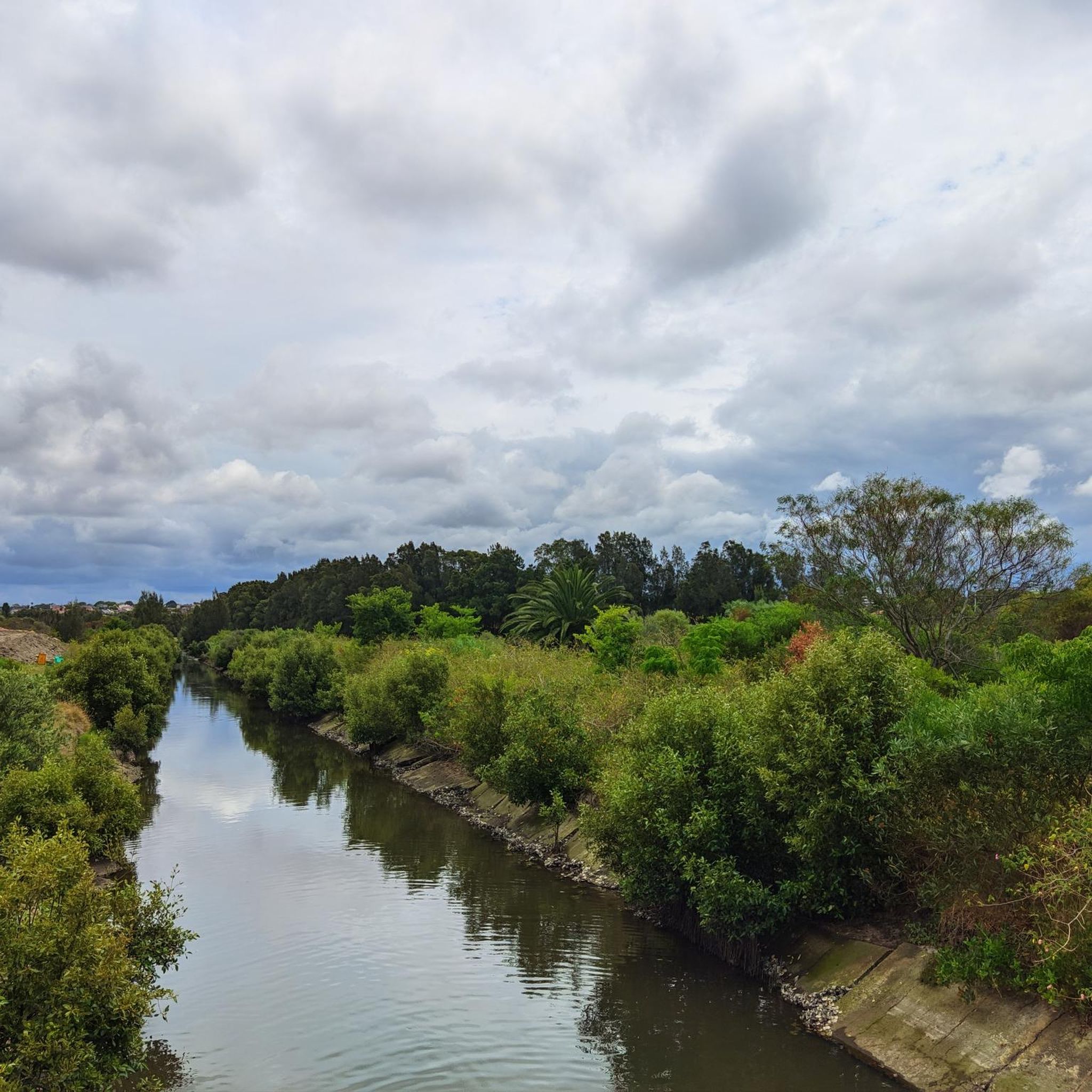
Road cycling routes in Georges River National Park traverse diverse landscapes, characterized by striking rock formations, forested hillsides, and extensive riverside flats along the Georges River. The area features thick beds of Hawkesbury sandstone and a variety of ecosystems including sandstone cliffs, mangroves, and native eucalyptus forests. Elevated scenic lookout points provide panoramic views of the river estuary and surrounding bushland, offering varied terrain for cyclists.
Best road cycling routes in Georges River National Park
- The most popular road cycling route is Alfords Point Bridge loop from Revesby, a 48.4 miles (77.8 km) trail that takes 4 hours 20 minutes to complete. This difficult route features significant elevation gain and offers views of the Georges River.
- Another top favourite among local road cyclists is Hillcrest Hill Climb – View of Taren Point loop from Riverwood, a moderate 26.4 miles (42.6 km) path. This route winds through suburban areas and offers glimpses of Taren Point.
- Local road cyclists also love the Roadbike loop from Revesby, a 14.4 miles (23.2 km) trail leading through local streets and park fringes, often completed in about 1 hour 21 minutes.
- Road cycling in Georges River National Park is defined by the Georges River, forested hillsides, and native eucalyptus forests. The network offers options for easy, moderate, and difficult ability levels.
- The routes in Georges River National Park are highly rated by the komoot community with an average score of 4.6 stars from more than 5 reviews. More than 900 road cyclists have used komoot to explore Georges River National Park's varied terrain.
Last updated: May 24, 2026
116
riders
79.8km
04:36
1,100m
1,100m
Hard road ride. Very good fitness required. Some segments of this route may be unpaved and difficult to ride.
5.0
(1)
18
riders
41.4km
02:04
380m
380m
Moderate road ride. Good fitness required. Mostly well-paved surfaces and easy to ride.

Sign up for free
16
riders
38.9km
02:02
390m
390m
Moderate road ride. Good fitness required. Mostly well-paved surfaces and easy to ride.
5.0
(2)
10
riders
23.2km
01:21
100m
100m
Easy road ride. Great for any fitness level. Mostly well-paved surfaces and easy to ride.
5
riders
31.7km
01:31
200m
200m
Easy road ride. Great for any fitness level. Mostly well-paved surfaces and easy to ride.
Get access to more routes and recommendations from other explorers.
Sign up for free
Already have an account?
Our route recommendations are based on thousands of hikes, rides, and runs completed by other people on komoot.
Start today with a free account
Your next adventure awaits.
Login or Signup


Tips from the Community

Royal National Park is Australia's oldest and one of its most visited national parks. Its location, just south of Sydney put it within easy range for the six million visitors it gets each year. You'll find everything from beaches and headlands to waterfalls and towering eucalyptus forest within its boundaries.
0
0

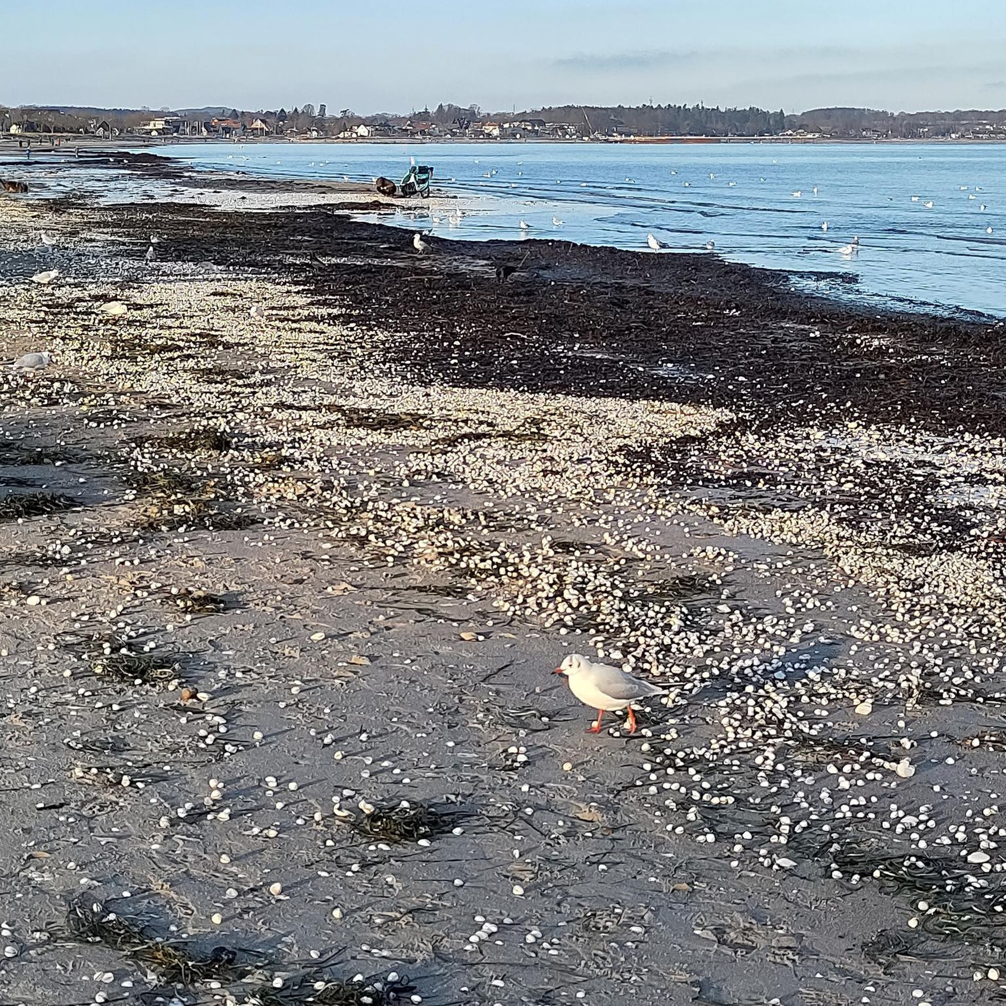
Lady Margaret Beach sits at Dolls Point along Botany Bay, and is part of the longer Lady Robinsons Beach system, a continuous stretch of sand lining the bay’s western shore. This beautiful beach is part of a series of bayside beaches at the mouth of the Georges River, where typically calm waters meet the gently curving shoreline. Surrounded by Cook Park, its open setting and wide views across the bay make it a relaxed spot for swimming and enjoying the coastal surroundings.
0
0
Sans Souci Park is a picturesque waterfront reserve along the Georges River, with open lawns, picnic areas, and a promenade with sweeping water views. The park includes BBQ facilities, shared pathways, and access to a wharf and fishing spots, making it a popular spot for both relaxation and recreation. Its location beside the Captain Cook Bridge adds a scenic backdrop while connecting it to the beautiful surrounding bayside landscape.
0
0
Kelso Park is part of a group of connected reserves forming the Kelso Parklands along the Georges River corridor. It occupies the low-lying grounds near both the river and Kelso Creek, with expansive fields that are a primary venue for a variety of large-group events.
0
0
Marco Reserve is a multi-use sports area within the Kelso Parklands with a focus on organised recreation. It sits inland within the reserve network rather than directly on the Georges River, and includes tennis courts, an open playing field, picnic tables, and sheltered seating. The open, facility-based setting contrasts with the more natural and riverside sections of the wider circuit, though you may be able to catch a game in progress as you pass by.
0
0

Uloola Falls Trailhead has a massive car park and a set of stairs leading down to the Uloola Falls Trail, marked with a sign and map.
1
0
Audley Visitor Centre and the surrounding picnic area sit right along the Hacking River in the central valley of Royal National Park. The historic precinct includes open lawns, picnic areas, and access to walking and cycling routes through the park. Set along the river near the Audley weir, it is a popular starting point for exploring the park’s bushland and waterways.
0
0
The Karloo Trackhead begins with some interesting signage and art, and then heads into the bush. This track is very popular and easily accessible, with a few bus stops and the Heathcote Train Station just a few steps away.
0
0
Frequently Asked Questions
What are the different difficulty levels for road cycling in Georges River National Park?
Georges River National Park offers a range of road cycling routes catering to various fitness levels. You'll find routes classified as easy, moderate, and difficult. For instance, the Roadbike loop from Revesby is an easy option, while the Hillcrest Hill Climb – View of Taren Point loop from Riverwood is considered moderate. For experienced riders, the Alfords Point Bridge loop from Revesby presents a significant challenge.
Are there family-friendly road cycling routes in Georges River National Park?
Yes, there are family-friendly options available. Routes like the Roadbike loop from Revesby are suitable for any fitness level, featuring mostly well-paved surfaces and leading through local streets and park fringes, making them great for a family outing.
Can I find circular road cycling routes in Georges River National Park?
Many of the road cycling routes in Georges River National Park are designed as loops, offering convenient circular journeys. Examples include the challenging Alfords Point Bridge loop from Revesby, the moderate Hillcrest Hill Climb loop from Riverwood, and the easier Green Pathway with White Poles loop from Riverwood.
What natural features or landmarks can I see while road cycling in the park?
Road cycling in Georges River National Park offers views of diverse landscapes. You'll encounter striking rock formations, steep forested hillsides, and extensive riverside flats along the Georges River. The park is characterized by Hawkesbury sandstone cliffs, mangroves, and native eucalyptus forests. Elevated scenic lookout points provide panoramic views of the Georges River estuary and the surrounding bushland.
Are there scenic viewpoints along the road cycling routes?
Yes, the park is known for its elevated scenic lookout points that offer panoramic views of the Georges River estuary and the surrounding bushland. While specific viewpoints may vary by route, the natural geography ensures many opportunities for picturesque vistas, especially along routes that hug the river or climb to higher elevations.
When is the best time of year to go road cycling in Georges River National Park?
Georges River National Park is generally pleasant for road cycling throughout much of the year. However, to avoid the peak heat of summer, spring (September-November) and autumn (March-May) offer milder temperatures and comfortable riding conditions. These seasons also showcase the park's natural beauty with vibrant flora.
Do I need any permits to go road cycling in Georges River National Park?
Generally, permits are not required for recreational road cycling on designated paths within Georges River National Park. However, it's always a good idea to check the official NSW National Parks and Wildlife Service website for the most current information regarding park entry fees or specific activity permits, especially if planning a large group event. You can find more information at nationalparks.nsw.gov.au.
Are there facilities like cafes or picnic areas available along the routes?
While specific cafes might not be directly on every route, Georges River National Park features several well-equipped picnic areas such as Burrawang Reach Picnic Area, Fitzpatrick Park, Cattle Duffers Flat, and Morgans Creek Picnic Area. These are excellent spots for a break or a meal, and many are accessible from the cycling network. You may find cafes in the nearby suburban areas of Revesby and Riverwood.
What kind of wildlife might I encounter while cycling?
Georges River National Park is home to a rich diversity of flora and fauna. While cycling, you might spot various bird species, especially around the Georges River Tidal Wetlands and Yeramba Lagoon, which is known for over 100 recorded bird species. Keep an eye out for native eucalyptus forests, which support a range of wildlife.
How many road cycling routes are available in Georges River National Park?
There are over 30 road cycling routes available in Georges River National Park, offering a wide variety of distances and difficulty levels. This extensive network ensures options for both casual riders and those seeking a more challenging experience.
What do other cyclists say about road cycling in Georges River National Park?
The road cycling routes in Georges River National Park are highly rated by the komoot community, with an average score of 4.6 stars from numerous reviews. Cyclists often praise the diverse landscapes, from riverside flats to forested hillsides, and appreciate the well-maintained paths that cater to different fitness levels.
What are the parking options for road cyclists in Georges River National Park?
Georges River National Park offers various parking areas that can serve as starting points for road cycling routes. Popular spots like those near Revesby and Riverwood, which are common starting points for many routes, typically have accessible parking. It's advisable to check specific route details for the most convenient parking locations.
Is Georges River National Park accessible by public transport for cyclists?
Georges River National Park is located just 25 km southwest of Sydney's CBD, making it relatively accessible. While direct public transport to every trailhead might vary, areas like Revesby and Riverwood, common starting points for routes, are generally well-served by Sydney's public transport network, which can accommodate cyclists to some extent. Check local transport schedules for the best options.
Most popular routes in Georges River National Park

Get inspired with the komoot mobile app


Explore more
Browse the best Road cycling routes in other regions.
