The best walks and hikes in Woronora Special Area
4.5
(146)
1,440
hikers
38
hikes
Hiking in Woronora Special Area offers diverse terrain, characterized by rugged bushland, serene waterways, and significant rock formations. The region features the Woronora River, which is central to its natural appeal, alongside areas of native bushland and varied elevation. Trails traverse landscapes including rock escarpments and dense stands of trees, providing a range of experiences for outdoor enthusiasts.
Best hiking trails in Woronora Special Area
- The most popular hiking route is Woronora Dam Park to Pipeline Trail Road, a…
Last updated: July 5, 2026
1
hikers
8.96km
02:32
190m
190m
Moderate hike. Good fitness required. Mostly accessible paths. Sure-footedness required.
4.0
(1)
4
hikers
7.28km
02:04
160m
160m
Moderate hike. Good fitness required. Easily-accessible paths. Suitable for all skill levels.

Sign up for free
1
hikers
18.7km
06:13
620m
620m
Hard hike. Very good fitness required. Mostly accessible paths. Sure-footedness required.
5.0
(1)
12
hikers
5.21km
01:28
110m
110m
Hard hike. Great for any fitness level. Sure-footedness, sturdy shoes and alpine experience required.
4.0
(1)
14
hikers
4.14km
01:13
110m
110m
Easy hike. Great for any fitness level. Easily-accessible paths. Suitable for all skill levels.
Get access to more routes and recommendations from other explorers.
Sign up for free
Already have an account?
Our route recommendations are based on thousands of hikes, rides, and runs completed by other people on komoot.
Start today with a free account
Your next adventure awaits.
Login or Signup

Tips from the Community

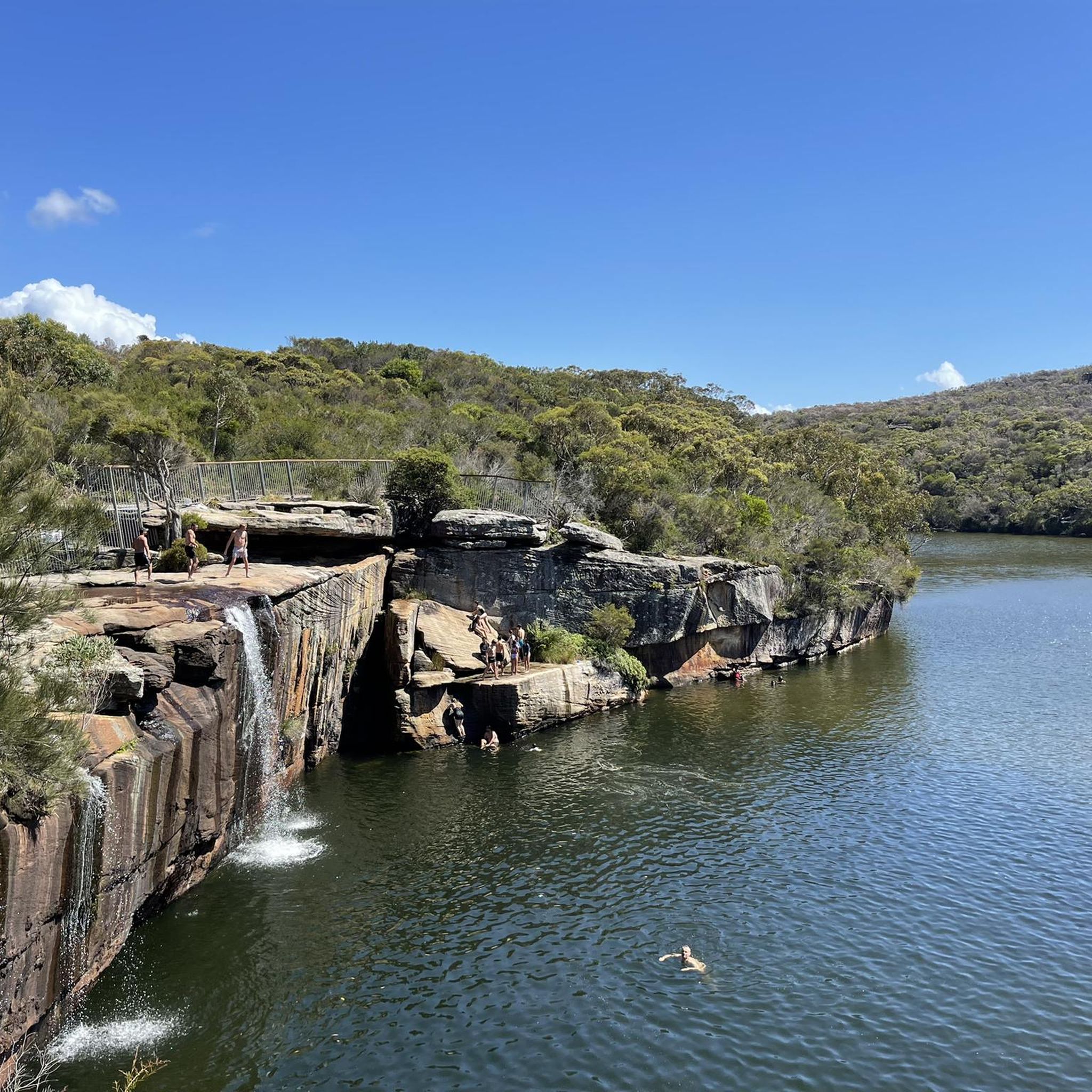
Here, a small waterfall spills into a beautiful rock pool surrounded by creekside vegetation. This is one of the first waterfalls you can reach along the Kangaroo Creek Track, and a really nice destination for a day walk.
0
0
This track climbs north, running parallel to Kangaroo Creek. The route follows rough singletrack with shallow creek crossings and thick scrub. There is also access to a couple of pools and waterfalls that are connected to Kangaroo Creek along the route.
0
0

The Woronora River flows through the Sutherland Shire and eventually feeds into the Georges River system. It is damned by the Woronora Dam, but remains wild in that area and surrounded by bushland, the more you follow it downstream, the more it widens into a more open, tidal river surrounded by mangroves. It's a great river for kayaking, canoeing, and fishing.
0
0
Woronora Dam Park is a recreation area set at the base of Woronora Dam, surrounded by bushland. The park has big grassy lawns, shaded picnic areas, and views of the dam wall and reservoir. There are also facilities like picnic tables, shelters, and toilets, and a more low-key feel than some of Sydney's busier parks.
0
0
Uloola Falls Trailhead has a massive car park and a set of stairs leading down to the Uloola Falls Trail, marked with a sign and map.
1
0

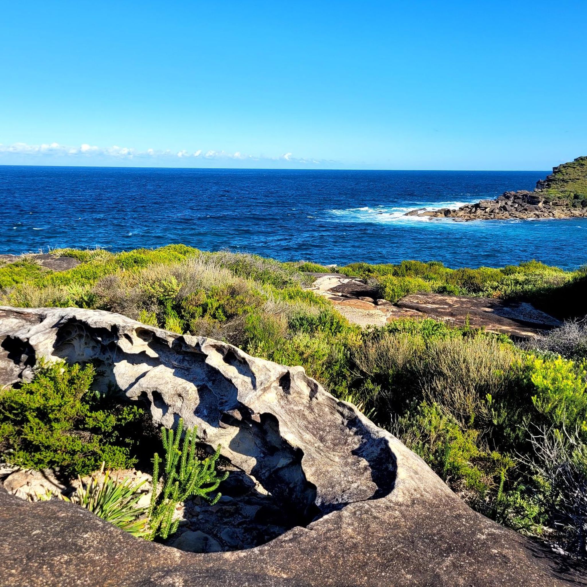
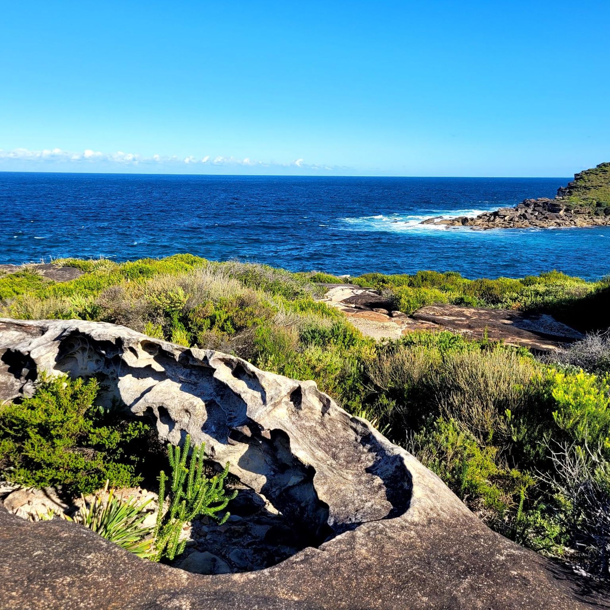
This lookout along the Pipeline Trail offers sweeping views across the Woronora Special Area and its winding waterways below. From the sandstone edge, you can see forested ridgelines stretching into the distance, with the river cutting through the valley floor. The setting feels quiet and remote despite being close to Sydney. There are no barriers at the cliff edge, and the rock surface can be uneven, so approach carefully and keep a safe distance from drop-offs.
0
0

This 500 meter long beach is only reachable on foot and therefore is rarely overcrowded. In addition to the gorgeous sand and water you'll also find around 20 heritage listed beach cabins and a surf lifesaving club that patrols the beach every Sunday and public holiday from the end of September to the end of April.
0
0
This popular route to the Figure Eight Pools descends to Burning Palms beach and gives you great views along the way. Beware that the pools are only accessible at low tide, so check the tide tables before heading out.
0
0
Frequently Asked Questions
What types of terrain can I expect on hiking trails in Woronora Special Area?
Hikes in Woronora Special Area feature diverse terrain, ranging from rugged bushland with significant rock escarpments and formations to serene waterways along the Woronora River. You'll encounter native trees like paperbarks, turpentines, and gum trees, as well as areas with inviting pools and gorges, particularly within Heathcote National Park.
Are there easy hiking options suitable for beginners in Woronora Special Area?
Yes, Woronora Special Area offers a variety of trails, including 9 easy routes perfect for beginners or those seeking a more relaxed walk. These trails often provide accessible paths and lookouts, allowing you to enjoy the natural beauty without significant challenge. An example of an easy route is the Sea Cliff Bridge loop from Sea Cliff Bridge.
Where can I find more challenging hikes in Woronora Special Area?
For experienced hikers seeking a challenge, Woronora Special Area has 10 difficult routes. These trails often feature significant elevation changes and cover longer distances. A notable challenging option is the Burning Palms Beach – Figure Eight Pools loop from Helensburgh, which is 11.5 miles (18.5 km) long and involves substantial elevation gain.
What natural landmarks or points of interest can I discover while hiking in Woronora Special Area?
The region is rich in natural features. You can discover stunning rock formations like 'Eagle Rock' in Burnum Burnum Sanctuary, explore the pristine Woronora River, or find hidden pools within the rugged gorges of Heathcote National Park. The Woronora Dam also offers scenic views and picnic spots.
Are there any circular hiking routes in Woronora Special Area?
Yes, there are several circular routes available for hikers who prefer to start and end at the same point. An example is the Hiking loop from Helensburgh, which explores the bushland around the area. Another option is the Kingfisher Pool loop from Heathcote National Park.
What kind of wildlife might I encounter on the trails?
Woronora Special Area is home to diverse wildlife. In Prince Edward Park, you might spot wallabies, echidnas, and sugar gliders. Burnum Burnum Sanctuary offers opportunities to see blue-tongue lizards, black cockatoos, and tiny wrens. The grey-green bushland and waterways are a haven for various species.
Is parking available at the trailheads in Woronora Special Area?
While specific parking details vary by trailhead, many popular starting points for hikes, such as Woronora Dam Park and areas near Prince Edward Park or Burnum Burnum Sanctuary, typically offer designated parking facilities. It's advisable to check local signage upon arrival.
Can I reach hiking trails in Woronora Special Area using public transport?
Public transport options to Woronora Special Area exist, though direct access to all trailheads may vary. Buses serve the Woronora suburb, and train stations like Sutherland or Heathcote provide connections to the broader region, from where you might need to connect via local bus services or a short taxi ride to reach specific trail starting points.
What do other hikers enjoy most about hiking in Woronora Special Area?
The area is highly rated by the komoot community, with an average score of 4.5 stars from over 140 reviews. Reviewers often praise the diverse bushland, the serene Woronora River, and the variety of trails that cater to different abilities, from easy walks to more challenging routes through rugged terrain.
Are there any amenities or facilities near the hiking trails?
Yes, areas like Burnum Burnum Sanctuary offer amenities such as picnic spots, playgrounds, and wetland areas. The Boatshed at Woronora provides a community hub where visitors can enjoy coffee and brunch, and even hire kayaks to explore the river, making it a great spot before or after a hike.
What is the best time of year to go hiking in Woronora Special Area?
The Woronora Special Area is generally pleasant for hiking year-round, but spring (September to November) and autumn (March to May) offer milder temperatures, making them ideal for longer excursions. Summer can be hot, so early morning or late afternoon hikes are recommended, while winter provides cool, crisp conditions.
Are there any specific safety considerations for hiking in Woronora Special Area?
When hiking in Woronora Special Area, it's important to be prepared for varied terrain, including rugged bushland and potential rock scrambles. Always carry enough water, wear appropriate footwear, and inform someone of your plans. Be aware of local wildlife and check weather conditions before heading out, especially if heavy rain is forecast, as some areas might become slippery or impassable.
Most popular routes in Woronora Special Area

Get inspired with the komoot mobile app


Explore more
Browse the best Hikes in other regions.
