The best cycling routes in Clyde River National Park
34
riders
5
rides
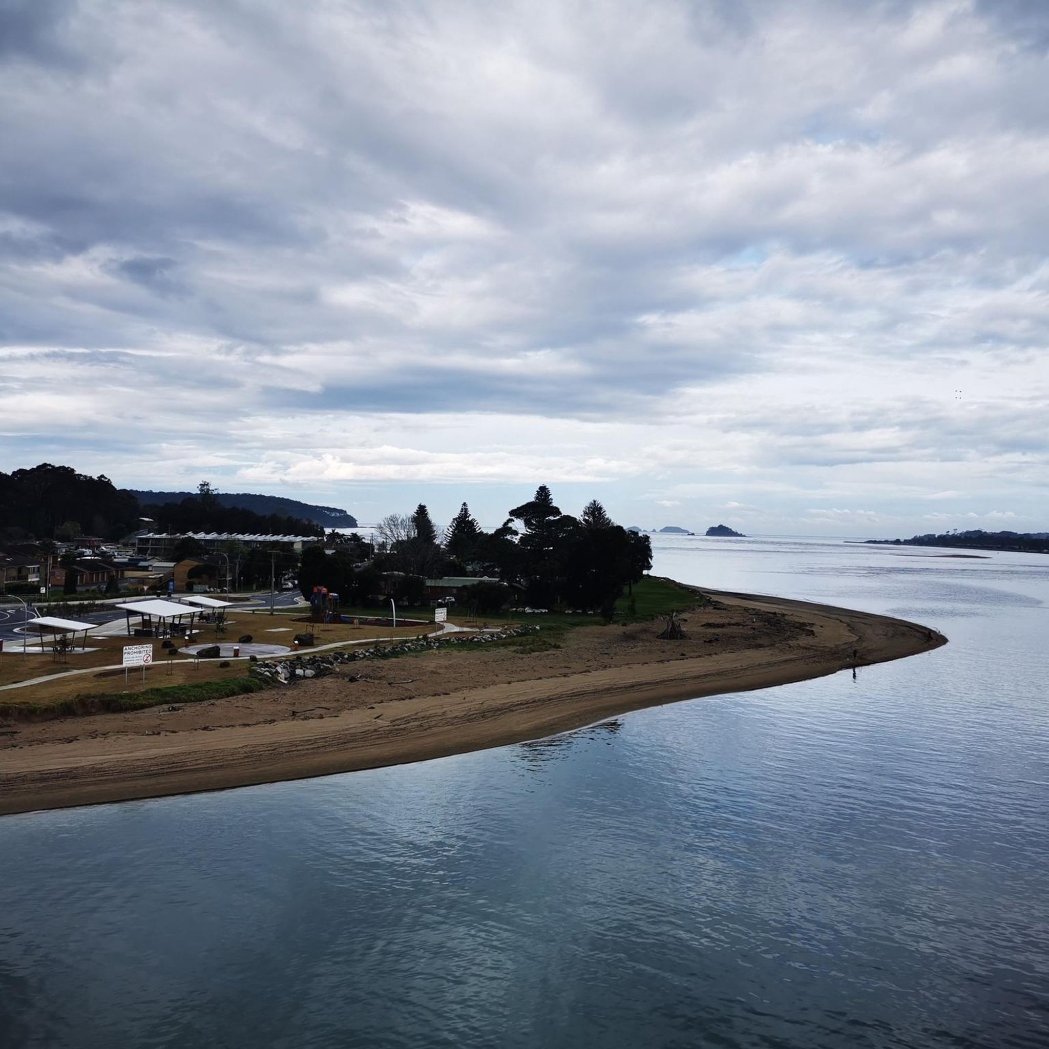
Touring cycling in Clyde River National Park features routes through a diverse landscape, transitioning from the Southern Tablelands to the coastal plain. The park encompasses a rugged section of the Clyde River gorge and surrounding escarpment country, with steep forested hills and varied woodlands. Cyclists can experience areas with tree-lined foreshores, mangroves, and rare patches of saltmarsh along the river frontage. The Kings Highway also offers scenic roadside lookouts with views into the gorge.
Best touring cycling routes in Clyde…
Last updated: June 26, 2026
7
riders
94.8km
09:38
1,620m
1,620m
Hard bike ride. Very good fitness required. Mostly paved surfaces. Suitable for all skill levels.
5
riders
68.6km
06:56
1,160m
1,160m
Hard bike ride. Very good fitness required. Mostly paved surfaces. Suitable for all skill levels.

Sign up for free
6
riders
30.4km
02:13
430m
430m
Moderate bike ride. Good fitness required. Mostly paved surfaces. Suitable for all skill levels.
2
riders
48.5km
04:15
700m
700m
Hard bike ride. Very good fitness required. Mostly paved surfaces. Suitable for all skill levels.
7
riders
37.9km
02:27
440m
440m
Moderate bike ride. Good fitness required. Mostly paved surfaces. Suitable for all skill levels.
Our route recommendations are based on thousands of hikes, rides, and runs completed by other people on komoot.
Start today with a free account
Your next adventure awaits.
Login or Signup
Popular around Clyde River National Park


Tips from the Community


Challenging and technical - but beautiful bush - trail descending down towards Princes Highway from Dog Trap Road. There are a few rutted sections and a lot of exposed rock. MTB setups ideal, gravel bikes with 35mm + and low pressures would be fine.
0
0
Well covered and foliage-filled trail along Dog Trap Road. Most off-road bikes will be fine along this road.
0
0
Great condition gravel along Runnyford Road as you enter and circumnavigate Mogo forest
0
0
Frequently Asked Questions
What kind of terrain can I expect when touring cycling in Clyde River National Park?
Clyde River National Park offers a diverse landscape for touring cyclists, transitioning from the Southern Tablelands to the coastal plain. You'll encounter rugged sections of the Clyde River gorge, steep forested hills, and varied woodlands. Routes may also feature tree-lined foreshores, mangroves, and rare patches of saltmarsh along the river.
Are there routes suitable for less experienced touring cyclists in Clyde River National Park?
Yes, while many routes are challenging, there is at least one moderate option. For example, the Dog Trap Road Trail loop from Catalina Heights is a moderate 30.4 km path that winds through varied woodlands, offering a good option for those seeking a less strenuous ride.
What are the best times of year to go touring cycling in Clyde River National Park?
The best times for touring cycling are generally during the cooler, drier months of autumn (March-May) and spring (September-November). Summers can be hot, and while winters are mild, some areas might be damp. Always check local weather conditions before heading out.
Are there any circular touring cycling routes in the park?
Yes, several routes are designed as loops, allowing you to start and finish in the same location. Popular options include the Shallow Crossing loop from Nelligen and the Dog Trap Road Trail loop from Catalina Heights.
Can I bring my dog on the touring cycling trails in Clyde River National Park?
As a general rule, dogs are not permitted on walking tracks or cycling trails within NSW National Parks, including Clyde River National Park, to protect wildlife and natural environments. It's always best to check the specific park regulations on the NSW National Parks and Wildlife Service website before planning your trip.
What kind of wildlife might I see while cycling in the park?
Clyde River National Park is home to a variety of wildlife. Cyclists might spot kangaroos, wallabies, and a wide array of birdlife, especially in the forested and riverside areas. Keep an eye out for reptiles as well, particularly during warmer months.
Are there any scenic viewpoints along the touring cycling routes?
Yes, the Kings Highway, which borders parts of the park, offers several scenic roadside lookouts with impressive views into the rugged Clyde River gorge. While specific viewpoints aren't always directly on cycling trails, many routes offer panoramic vistas of the surrounding forested hills and river.
What should I wear for touring cycling in Clyde River National Park during summer?
During summer, temperatures can be high. It's recommended to wear lightweight, breathable, moisture-wicking clothing. Sun protection is crucial, so bring a hat, sunglasses, and apply high-SPF sunscreen. Always carry plenty of water to stay hydrated.
Are there any cafes or places to get refreshments near the cycling trails?
Clyde River National Park is a natural area, so amenities like cafes are not typically found directly on the trails. It's advisable to carry all necessary food and water for your ride. You'll find cafes and services in nearby towns such as Nelligen, Batemans Bay, or Catalina Heights, which serve as common starting points for many routes.
How accessible is Clyde River National Park by public transport for cyclists?
Public transport options directly into Clyde River National Park are limited. Most visitors access the park by private vehicle. You may find bus services to nearby towns like Batemans Bay, but getting to specific trailheads within the park from there would likely require further arrangements or a taxi.
What is the longest touring cycling route available in the park?
The longest route in the area is the Shallow Crossing loop from Batemans Bay, covering approximately 105.5 km. This challenging route leads through forested hills and along the Clyde River, typically taking over 10 hours to complete.
What do other touring cyclists enjoy most about cycling in Clyde River National Park?
The komoot community frequently praises the diverse and rugged landscape of Clyde River National Park. Cyclists often highlight the challenge of the forested hills, the scenic beauty of the Clyde River gorge, and the varied woodlands that offer a true sense of adventure and immersion in nature.
Most popular routes in Clyde River National Park

Get inspired with the komoot mobile app


Explore more
Browse the best Cycling routes in other regions.
