The best road cycling routes in Clyde River National Park
4.0
(1)
75
riders
4
rides
Road cycling in Clyde River National Park offers routes through diverse landscapes, including riverine foreshores, forested hills, and coastal areas. The park features 9 kilometers of frontage along the Clyde River, known for its clear waters and tree-lined banks. Cyclists can expect varied terrain, from dry sclerophyll woodland to wet sclerophyll forest, with some routes potentially including unpaved segments. The region provides a mix of mostly paved roads and some challenging sections, suitable for different fitness levels.
Best road cycling…
Last updated: July 3, 2026
4.0
(1)
35
riders
52.7km
02:26
480m
480m
Moderate road ride. Good fitness required. Mostly well-paved surfaces and easy to ride.
29
riders
69.0km
02:58
480m
480m
Moderate road ride. Good fitness required. Mostly well-paved surfaces and easy to ride.

Sign up for free
6
riders
Moderate road ride. Good fitness required. Mostly well-paved surfaces and easy to ride.
5
riders
45.7km
02:06
540m
540m
Moderate road ride. Good fitness required. Mostly well-paved surfaces and easy to ride.
Our route recommendations are based on thousands of hikes, rides, and runs completed by other people on komoot.
Start today with a free account
Your next adventure awaits.
Login or Signup
Popular around Clyde River National Park


Tips from the Community

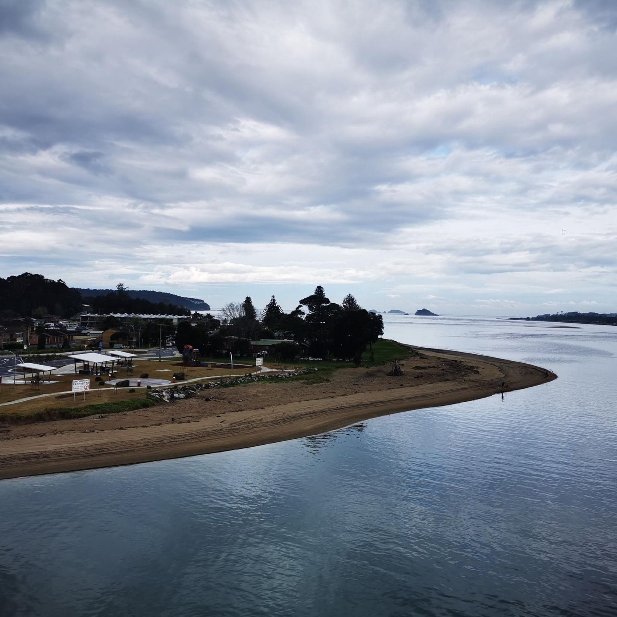
Short little climb off the main road up to the Dog Trap Road that offers a nice return descent along the Ridge Road with views over sunshine beach.
0
0

Frequently Asked Questions
How many road cycling routes are available in Clyde River National Park?
There are 4 road cycling routes currently available in Clyde River National Park, all rated as moderate difficulty. These routes offer diverse experiences through riverine landscapes, forested hills, and coastal areas.
What is the best time of year for road cycling in Clyde River National Park?
The region generally offers pleasant conditions for cycling. While specific seasonal recommendations aren't provided, the diverse landscapes, from riverine foreshores to forested hills, can be enjoyed across many months. It's always a good idea to check local weather forecasts before heading out.
Are the road cycling routes in Clyde River National Park entirely paved?
While many sections of the cycling routes are on paved surfaces, some segments may be unpaved and challenging. Cyclists should be prepared for varied terrain, as some routes might require good fitness and potentially involve dismounting and pushing bikes on unsealed sections.
What kind of landscapes and attractions can I expect to see while road cycling?
Road cycling routes in Clyde River National Park offer a rich tapestry of landscapes. You'll encounter 9 kilometers of pristine Clyde River frontage, steep forested hills, and native bushland ranging from dry sclerophyll woodland to warm temperate rainforest. Notable viewpoints include Holmes Lookout, which offers spectacular panoramic views of the Clyde River and surrounding district. You can also enjoy coastal views on routes like the Sunset View of Batemans Bay – Malua Bay Beach loop from Batemans Bay.
Are there challenging road cycling options for experienced riders?
Yes, the routes in Clyde River National Park are rated as moderate, with significant elevation gains. For example, the Sunset View of Batemans Bay – Tomakin Cove loop from Bligh St at Eric Fenning Dr is 75.3 km long with over 650 meters of elevation gain, providing a substantial distance and climb for experienced riders. Some routes also feature unpaved segments that add to the challenge.
Is parking available for cyclists near the road cycling routes?
Yes, the park offers several facilities. Riverside campgrounds like Red Gum and Beach campground, as well as picnic facilities at Holmes Lookout, provide potential parking spots. When planning your ride, consider starting points near these amenities for convenient access.
Can I access the road cycling routes using public transport?
Information regarding specific public transport access directly to the cycling route starting points within Clyde River National Park is limited. It is generally recommended to plan your journey by car to reach the park's entry points or nearby towns like Batemans Bay or Nelligen, and then cycle from there. For detailed visitor information, you might consult the NSW National Parks website.
Are there places to stop for picnics or breaks along the routes?
Yes, Clyde River National Park provides several spots perfect for breaks. Holmes Lookout offers panoramic views and picnic facilities. Additionally, riverside campgrounds like Red Gum and Beach campground are peaceful spots where you can rest and enjoy the natural surroundings. For longer routes, consider towns like Nelligen or Batemans Bay for cafes and other amenities.
What kind of wildlife might I encounter while cycling in the park?
Clyde River National Park is rich in wildlife. You might spot threatened species such as the glossy black cockatoo, yellow-bellied glider, and masked owl. The Clyde River itself is home to abundant marine life, and you may see sea eagles, pelicans, and even platypus in the river and its tributaries. Keep an eye out for unique flora like forest red gum and black she-oak along the routes.
Are there family-friendly road cycling routes in Clyde River National Park?
While all routes are currently rated as moderate, some sections might be suitable for families with older, more experienced children. However, given the potential for unpaved segments and significant elevation gains, routes like the Malua Bay Beach – Tomakin Cove loop from Bligh St at Eric Fenning Dr (45.7 km) might be considered for fitter families. Always assess the route details and your family's fitness level before embarking.
Is Clyde River National Park dog-friendly for cyclists?
Generally, dogs are not permitted in most areas of NSW national parks, including Clyde River National Park, to protect native wildlife. This policy typically extends to cycling routes within the park. For specific details on pet policies, it's best to check the NSW National Parks website before your visit.
What do other road cyclists enjoy most about road cycling in Clyde River National Park?
The road cycling routes in Clyde River National Park are highly rated by the komoot community, with an average score of 4.0 stars. Cyclists often praise the diverse terrain, which includes scenic riverine landscapes, challenging forested hills, and coastal views. The variety of routes, such as the Dog Trap Road Detour – Tomakin Cove loop from Snapper Island, offers engaging experiences for riders looking for a mix of distance and elevation.
Most popular routes in Clyde River National Park

Get inspired with the komoot mobile app


Explore more
Browse the best Road cycling routes in other regions.
