The best MTB trails in Machachi
5.0
(3)
143
riders
11
rides
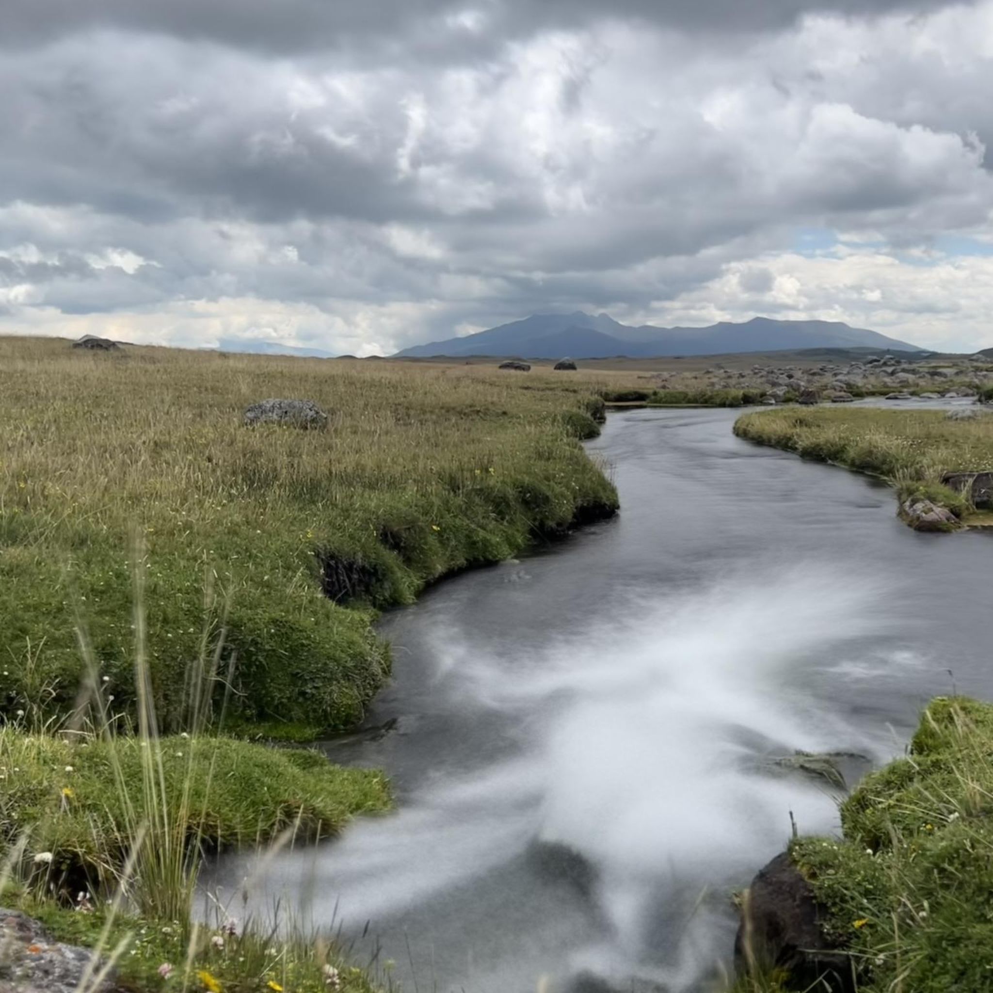
Mountain biking in Machachi offers diverse terrain within Ecuador's "Avenue of the Volcanoes," providing routes with significant elevation changes and views of iconic peaks like Cotopaxi and Rumiñahui. The region features a mix of cobblestone roads, dirt paths, and some asphalt sections, traversing rural Andean landscapes and volcanic areas. Riders can explore high-altitude plains, highland lagoons, and areas within Cotopaxi National Park. This varied topography makes Machachi a compelling destination for mountain bikers seeking challenging climbs and scenic descents.
Best…
Last updated: July 11, 2026
5.0
(1)
25
riders
Moderate mountain bike ride. Good fitness required. Suitable for all skill levels.
5.0
(1)
19
riders
Moderate mountain bike ride. Good fitness required. Suitable for all skill levels.

Sign up for free
11
riders
11.4km
01:09
310m
310m
Moderate mountain bike ride. Good fitness required. Suitable for all skill levels.
7
riders
63.8km
05:36
1,080m
1,080m
Hard mountain bike ride. Very good fitness required. Advanced riding skills necessary.
6
riders
Hard mountain bike ride. Good fitness required. Advanced riding skills necessary. Some portions of the route may require you to push your bike.
Get access to more routes and recommendations from other explorers.
Sign up for free
Already have an account?
Our route recommendations are based on thousands of hikes, rides, and runs completed by other people on komoot.
Start today with a free account
Your next adventure awaits.
Login or Signup
Popular around Machachi
Tips from the Community

take it easy, some of the ramps are broken. no signage, so you won't know it until you fall
0
0

It's an excellent viewpoint, both for Limpiopungo Lagoon and for Rumiñahui and Cotopaxi Volcano. Because of the cold, you'll need to wear a coat.
0
0

A beautiful circular path leads around the lagoon and great animal sightings are possible.
0
0


Beginning of a section to reach the shelter where you leave everything on the bike! 🚲
0
0

You can camp at the lodge and enjoy the breakfast buffet at the lodge. A welcome opportunity to warm up after the cold nights. It is only possible to warm up in very few places in the Andes.
0
0

Hidden behind a few hills, this lagoon reminds our guide of Scotland. You can easily fill up your drinking bottle in the clear water and have a wonderful rest. What you should not do is camp here. It's forbidden in the national park anyway and the indigenous people make sure that it's followed.
1
0
The only information on site is a small sign near the grassy parking lot named Pucara Salitre. nothing else. To the untrained eye it was easy to see that this location was chosen for its strategic value. Most of the exposed site is built high on the hill to enjoy the views all around. A small building is lower with less view and has a partly built modern roof. We thought the whole building might be modern, an example of what the buildings might have looked like on the less surviving buildings on the hill, but photos online show this building as an Incan construction and as a defensive structure. Unfortunately, the ruins of the modern roof detract from the site and do little to preserve the ruins themselves. There are clearly two levels on the hill, one a defensive wall around the structure and the second a wall that contained many smaller buildings. Today it seems clear that there were entrances to the north and south, although no lintels or doors remain, only openings in the remaining low walls that are there. Source: https://notyouraverageamerican.com/inca-ruins-cotopaxi-national-park/ The best way is to walk the few meters from the street. It's not really a lot to watch... but the view...
0
0
Frequently Asked Questions
How many mountain bike trails are available in Machachi?
Machachi offers over a dozen mountain bike trails, catering to various skill levels. You'll find a mix of easy, moderate, and difficult routes to explore the region's diverse landscapes.
What kind of terrain can I expect on Machachi's mountain bike trails?
The trails in Machachi feature diverse terrain, including cobblestone roads, dirt paths, and some asphalt and cement sections. You'll ride through rural Andean landscapes, high-altitude plains, and volcanic areas, often with significant elevation changes.
Are there any easy mountain bike trails suitable for beginners in Machachi?
Yes, there are easy trails available. While most routes are moderate, options like the Machachi to Aloasí circuit (mentioned in regional research) are considered to have a low physical and technical level, making them accessible for beginners and families.
Are there any family-friendly mountain bike trails in Machachi?
For families, routes with lower technical and physical demands are ideal. The Machachi to Aloasí circuit is a good option, offering incredible views of mountains like Rumiñahui and Corazón without excessive difficulty. Always check individual route details for suitability.
What are some notable natural features or landmarks I can see along the mountain bike trails?
Machachi's trails offer stunning views of the 'Avenue of the Volcanoes.' You can encounter iconic peaks like Rumiñahui and Corazón Summit. Many routes also pass by the scenic Limpiopungo Lagoon, and you might even spot wild horses in Cotopaxi National Park.
Are there mountain bike trails that form a loop in Machachi?
Yes, many of Machachi's mountain bike trails are designed as loops. For example, you can ride The Flight of the Guarro loop from San Joaquín, or the Pucara Salitre Ruins – Hidden Highland Lagoon loop from Entrada control norte Tambopaxi, which explores volcanic landscapes.
What is the best time of year to go mountain biking in Machachi?
Machachi benefits from a temperate 'eternal spring' climate, making it an appealing destination for outdoor activities year-round. However, the dry season (typically June to September) often offers the most stable weather conditions for mountain biking, with clearer views of the volcanoes.
What do other mountain bikers enjoy most about the trails in Machachi?
The mountain bike trails in Machachi are highly rated by the komoot community, with an average score of 4.7 stars. Reviewers often praise the breathtaking views of the volcanoes, the diverse terrain, and the unique experience of riding through the Andean landscapes.
Are there any longer, more challenging mountain bike routes in Machachi?
For experienced riders seeking a challenge, Machachi offers several difficult routes. The Limpiopungo Lagoon – La Pradera Grassland loop from Boliche is a demanding 30-mile (48.3 km) trail with significant elevation changes, typically taking around 5 hours to complete.
How long do mountain bike trails typically take in Machachi?
Trail durations vary significantly based on distance and difficulty. Shorter, moderate loops like The Flight of the Guarro loop from Boliche can take around 1 hour 20 minutes, while longer, more difficult routes such as the Limpiopungo Lagoon – Hidden Highland Lagoon loop from Santa Rosa de los Molinos can take over 4 hours.
Is it possible to see wildlife while mountain biking in Machachi?
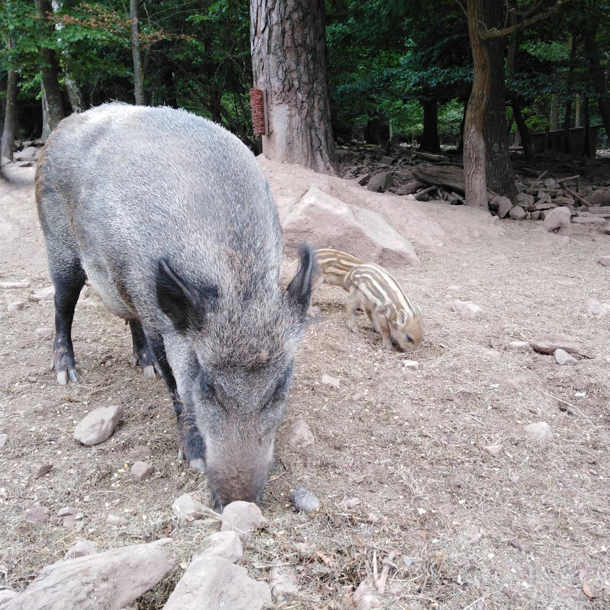
Yes, the region is rich in natural beauty and wildlife. Within areas like Cotopaxi National Park and Pasochoa Wildlife Refuge, you have opportunities to observe diverse flora and fauna, including wild horses, especially in less populated sections of the trails.
Most popular routes in Machachi
Most popular attractions in Machachi

Get inspired with the komoot mobile app


Explore more
Browse the best MTB trails in other regions.
