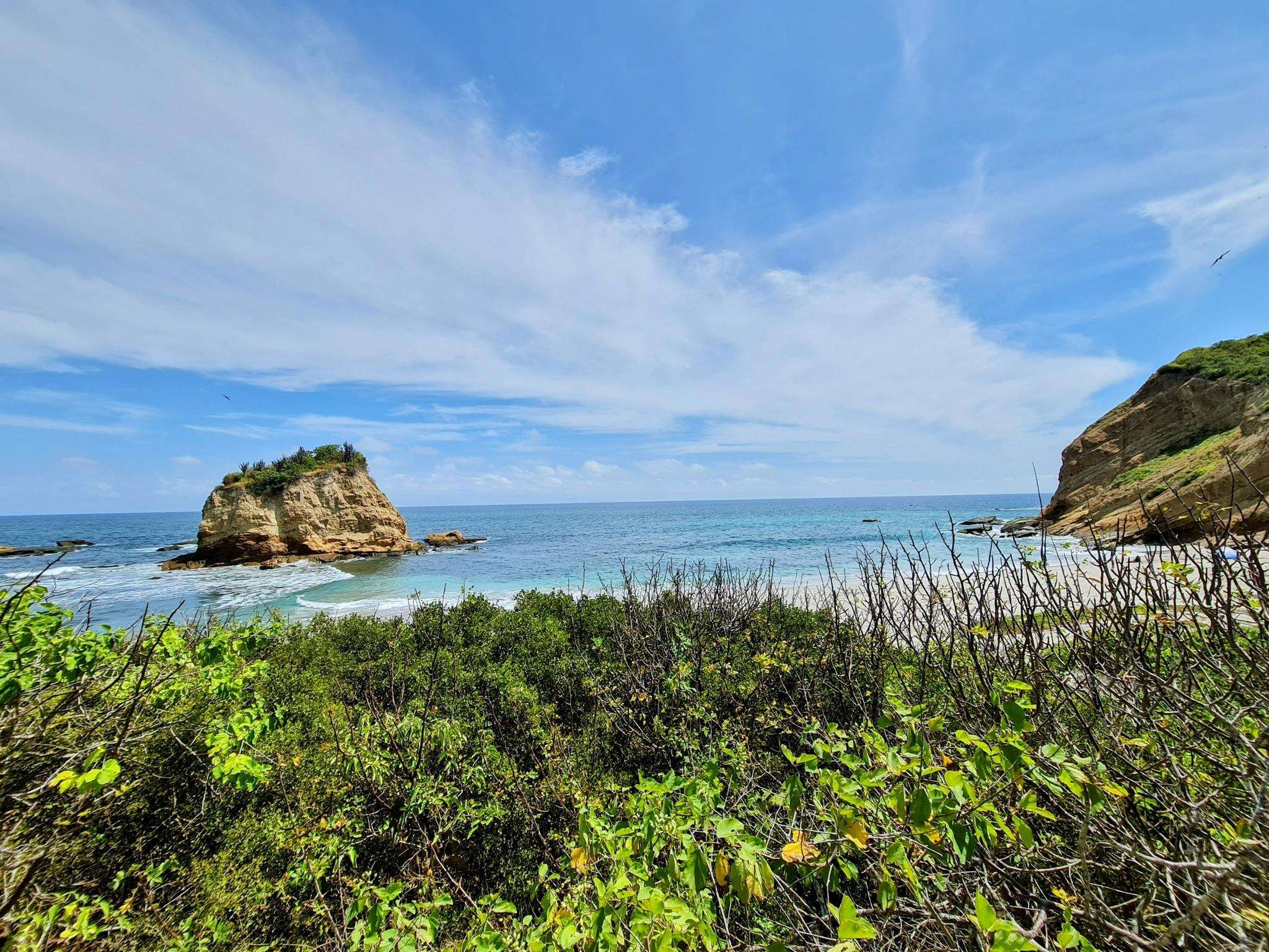
The best MTB trails in Portoviejo
5.0
(1)
55
riders
9
rides
Mountain bike trails in Portoviejo offer diverse terrain across green mountains, forested hills, and rural pathways. The region is characterized by varied topography, providing both ascents and descents for mountain biking. Riverine environments and agricultural lands also present opportunities for less technical routes. These landscapes combine to create a compelling destination for outdoor activities.
Best mountain bike trails in Portoviejo
- The most popular mountain bike trail is La Tomatera loop from Portoviejo, a 17.6 miles (28.3 km) trail that takes 2 hours 9 minutes to complete. This moderate route explores the varied terrain around La Tomatera.
- Another top favourite among local mountain bikers is La Tomatera loop from Clínica San Francisco, a moderate 18.1 miles (29.1 km) path. This route offers similar landscapes to its counterpart, starting from a different point.
- Local mountain bikers also love the Tomatera Viewpoint loop from Portoviejo, a 22.0 miles (35.4 km) trail leading through forested hills and offering viewpoints, often completed in about 2 hours 30 minutes.
- Mountain biking in Portoviejo is defined by green mountains, forested hills, and rural pathways. The network offers options primarily for moderate riders looking for engaging routes.
- The routes in Portoviejo are highly rated by the komoot community with an average score of 5.0 stars from 2 reviews. More than 60 mountain bikers have used komoot to explore Portoviejo's varied terrain.
Last updated: July 12, 2026
5.0
(1)
11
riders
28.4km
02:09
470m
470m
Moderate mountain bike ride. Good fitness required. Suitable for all skill levels.
9
riders
29.9km
02:12
510m
510m
Moderate mountain bike ride. Good fitness required. Suitable for all skill levels.

Sign up for free
8
riders
47.8km
03:49
880m
880m
Moderate mountain bike ride. Good fitness required. Suitable for all skill levels.
5
riders
40.3km
02:50
580m
580m
Moderate mountain bike ride. Good fitness required. Suitable for all skill levels.
7
riders
21.2km
01:29
340m
340m
Moderate mountain bike ride. Good fitness required. Suitable for all skill levels.
Get access to more routes and recommendations from other explorers.
Sign up for free
Already have an account?
Our route recommendations are based on thousands of hikes, rides, and runs completed by other people on komoot.
Start today with a free account
Your next adventure awaits.
Login or Signup
Tips from the Community

Frequently Asked Questions
What is the general difficulty level of mountain bike trails in Portoviejo?
The mountain bike trails in Portoviejo are primarily suited for moderate riders. All 10 routes listed in this guide are classified as moderate, offering engaging terrain with varied topography, including ascents and descents through green mountains and forested hills.
Are there any family-friendly mountain bike trails in Portoviejo?
While all routes in this guide are rated as moderate, some of the rural pathways and riverine environments mentioned in the region's characteristics might offer less technical sections suitable for families with some mountain biking experience. For a specific route, consider La Tomatera loop from Portoviejo, which is a moderate 17.6-mile trail exploring varied terrain.
What kind of landscapes can I expect to see while mountain biking in Portoviejo?
Portoviejo's mountain bike trails traverse diverse landscapes, including 'mountains of intense green' and 'forested hills' that provide both challenging ascents and thrilling descents. You'll also encounter rural pathways and riverine environments, offering a mix of natural beauty and cultural exploration. The region's proximity to the Portoviejo River and its mangrove swamps adds another unique natural element.
Are there any circular mountain bike routes available?
Yes, all the mountain bike routes highlighted in this guide are circular loops. For example, you can explore the area on the Tomatera Viewpoint loop from Portoviejo, a 22.0-mile trail that offers scenic views.
What is the best time of year for mountain biking in Portoviejo?
Portoviejo is characterized by lush, green landscapes, suggesting a generally humid climate. While specific seasonal data isn't provided, typically the dry season in Ecuador (roughly June to September, and December to February) offers more favorable conditions for mountain biking, with less rain and firmer trails. However, the 'rivers with gentle waters' imply that conditions can be pleasant year-round.
What do other mountain bikers enjoy most about the trails in Portoviejo?
The mountain bike routes in Portoviejo are highly rated by the komoot community, with an average score of 5.0 stars from 2 reviews. More than 60 mountain bikers have used komoot to explore the region, often praising the varied terrain, from green mountains to forested hills and rural pathways, which provide engaging routes for moderate riders.
Are there any viewpoints along the mountain bike trails?
Yes, some routes specifically lead to scenic overlooks. The Tomatera Viewpoint loop from Portoviejo is a prime example, designed to take you through forested hills and offer rewarding panoramic views of the surrounding landscape.
What is the longest mountain bike trail in Portoviejo?
The longest mountain bike trail featured in this guide is the Mountainbike loop from Portoviejo, which spans 40.6 miles (65.4 km) and typically takes around 2 hours 52 minutes to complete. This moderate route offers extensive exploration of the region's terrain.
Are there any cultural or historical sites accessible by mountain bike?
Just outside Portoviejo, the Cerro Jaboncillo Archaeological Park offers an excellent opportunity to combine mountain biking with cultural exploration. This ancient pre-Columbian site features forested hills dotted with stone dwellings and ritual sites, providing a unique backdrop for a ride. While specific routes to the park aren't detailed in this guide, the varied terrain around it suggests potential for exploration.
Where can I find parking for mountain biking trails in Portoviejo?
Specific parking information for individual trailheads is not provided in the guide. However, given Portoviejo's rural charm and the nature of its trails, it's common to find informal parking areas near trail access points, especially in less developed rural zones. For routes starting from Portoviejo itself, such as La Tomatera loop from Portoviejo, you might find parking within the city or at the outskirts where the trails begin.
Can I access the mountain bike trails using public transport?
Detailed public transport information to specific trailheads is not available in this guide. However, Portoviejo is a regional capital, so local buses and taxis would likely serve various parts of the city and its immediate surroundings. For trails starting further afield, such as those around La Tomatera, you might need to combine public transport with a short taxi ride or cycle from the nearest bus stop.
Are there any cafes or places to eat near the mountain bike trails?
While specific cafes or pubs directly on the trails are not listed, Portoviejo and its surrounding rural areas are known for their 'rural charm.' You can expect to find local eateries and small shops in the villages and towns you pass through, especially when starting or finishing routes like La Tomatera loop from Clínica San Francisco, which begins near a more developed area.

Get inspired with the komoot mobile app


Explore more
Browse the best MTB trails in other regions.
