The best road cycling routes in Eugenio Espejo (Calpaqui)
35
riders
5
rides
Road cycling in Eugenio Espejo (Calpaqui) offers routes through elevated Andean terrain, characterized by volcanic landscapes and high-altitude plains. The region provides a challenging environment for cyclists, with diverse topography that includes significant elevation changes. Routes often traverse volcanic slopes, rolling hills, and offer expansive views of the surrounding natural features, including the Imbabura Volcano and Lake San Pablo. This area is known for its high-altitude riding experience, with routes reaching over 2,900 meters above sea level.
Best road cycling…
Last updated: July 11, 2026
16
riders
58.8km
03:39
1,330m
1,330m
Hard road ride. Very good fitness required. Some segments of this route may be unpaved and difficult to ride.
6
riders
25.9km
01:25
370m
370m
Moderate road ride. Good fitness required. Mostly well-paved surfaces and easy to ride.

Sign up for free
5
riders
22.2km
01:13
350m
350m
Moderate road ride. Good fitness required. Mostly well-paved surfaces and easy to ride.
5
riders
72.8km
03:53
1,030m
1,030m
Hard road ride. Very good fitness required. Some segments of this route may be unpaved and difficult to ride.
3
riders
30.7km
01:40
350m
350m
Moderate road ride. Good fitness required. Some segments of this route may be unpaved and difficult to ride.
Our route recommendations are based on thousands of hikes, rides, and runs completed by other people on komoot.
Start today with a free account
Your next adventure awaits.
Login or Signup
Popular around Eugenio Espejo (Calpaqui)

Tips from the Community

The town of Otavalo is located at 2,532 meters above sea level. It offers many services and is perfect for a few days' break. Worth visiting is the Mercado Municipal 24 de Mayo which offers a wide choice of fresh local products and, above all, a food court in which to refresh yourself!
2
0
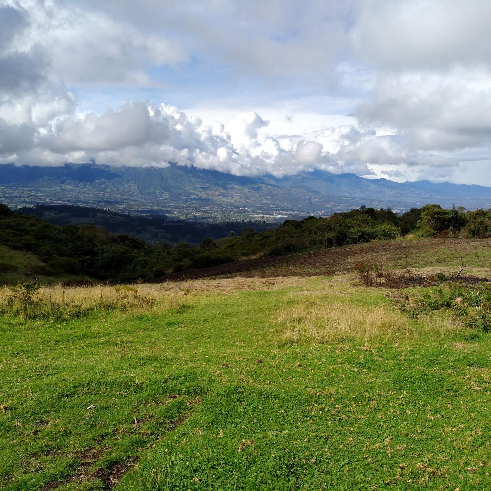
This stretch of asphalt road connects Conaqui with Imantag. The road is quiet and passes through cultivated fields and hills. A very picturesque panorama.
0
0

Frequently Asked Questions
How many road cycling routes are available in Eugenio Espejo (Calpaqui)?
There are 5 road cycling routes in Eugenio Espejo (Calpaqui) listed on komoot, offering a range of experiences through the Andean terrain.
What kind of terrain can I expect on road cycling routes in Eugenio Espejo (Calpaqui)?
Road cycling in Eugenio Espejo (Calpaqui) features elevated Andean terrain, characterized by volcanic landscapes and high-altitude plains known as páramos. You'll encounter diverse topography with significant elevation changes, traversing volcanic slopes and enjoying expansive views.
Are there any beginner-friendly road cycling routes in Eugenio Espejo (Calpaqui)?
The routes in Eugenio Espejo (Calpaqui) are generally moderate to difficult due to the elevated Andean terrain and significant elevation changes. There are no routes specifically classified as 'easy' in this guide, but moderate options like the Otavalo Town Center loop from Otavalo offer a good introduction to the area's cycling.
What are some of the more challenging road cycling routes in the region?
The region offers routes with significant elevation gains over several hours. While specific 'difficult' routes are available, even moderate routes like the Highway to Ibarra and Alamor loop from Cotacachi provide varied terrain and climbs suitable for those seeking a challenge.
Are there any scenic viewpoints or natural attractions along the road cycling routes?
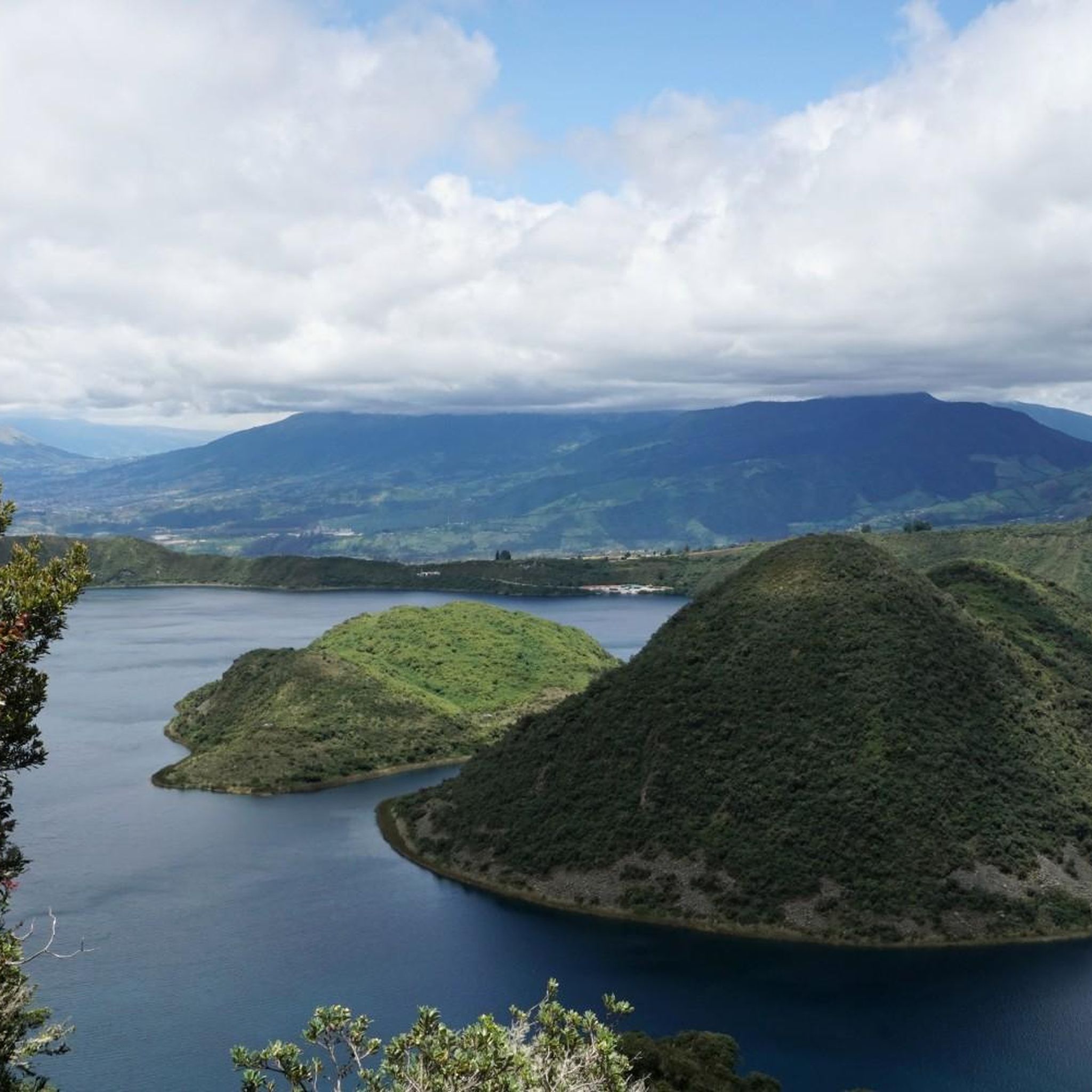
Yes, the region is rich in natural beauty. You can find stunning views of San Pablo Lake (Imbakucha) and the Imbabura volcano. The area also features the picturesque Laguna Grande de Mojanda, part of a system of three lagoons, which offers rewarding scenery after a challenging ride. Don't miss the Peguche Waterfall for a refreshing stop.
Can I find circular road cycling routes in Eugenio Espejo (Calpaqui)?
Yes, many of the routes are designed as loops. For example, the Otavalo Town Center loop from Otavalo is a 16.1-mile circular route, and another Otavalo Town Center loop from Otavalo offers a longer 19.1-mile option, both providing a full circuit through the local landscape.
What cultural experiences can I combine with road cycling in this area?
Beyond the natural beauty, the region offers opportunities for cultural immersion. The nearby city of Otavalo is famous for its indigenous population and vibrant handicrafts. Cyclists can engage with local culture and history, tracing paths once used by ancient inhabitants, and near Laguna Grande de Mojanda, you might find sales areas operated by local indigenous people.
What is the best time of year to road bike in Eugenio Espejo (Calpaqui)?
While specific seasonal recommendations are not detailed, the elevated Andean setting means weather can be variable. Generally, the dry season (typically June to September) might offer more stable conditions for cycling, but it's always advisable to check local weather forecasts before heading out.
Are there any less crowded road bike trails in Eugenio Espejo (Calpaqui)?
Given the region's diverse and expansive Andean landscapes, many routes offer a sense of solitude, especially those venturing into higher altitudes or less populated areas. While specific 'less crowded' routes aren't highlighted, exploring options outside the immediate town centers can lead to quieter rides.
What are the typical distances and elevation gains for road cycling routes here?
Routes in Eugenio Espejo (Calpaqui) vary in length and elevation. For instance, a moderate route like the Otavalo Town Center loop from Otavalo covers about 16.1 miles (25.9 km) with an elevation gain of approximately 373 meters. Longer routes can extend to over 19 miles (30 km) with similar or greater elevation changes, reflecting the challenging Andean topography.
What do other road cyclists enjoy most about road cycling in Eugenio Espejo (Calpaqui)?
Road cyclists often praise the diverse terrain, the challenging climbs, and the breathtaking scenery of the Andean highlands and volcanic landscapes. The opportunity to combine physical activity with cultural immersion and stunning natural attractions like Lago San Pablo and Lagunas de Mojanda is also highly valued.
Most popular routes in Eugenio Espejo (Calpaqui)
Most popular attractions in Eugenio Espejo (Calpaqui)

Get inspired with the komoot mobile app


Explore more
Browse the best Road cycling routes in other regions.
