The best walks and hikes in Eugenio Espejo (Calpaqui)
4.5
(21)
180
hikers
12
hikes
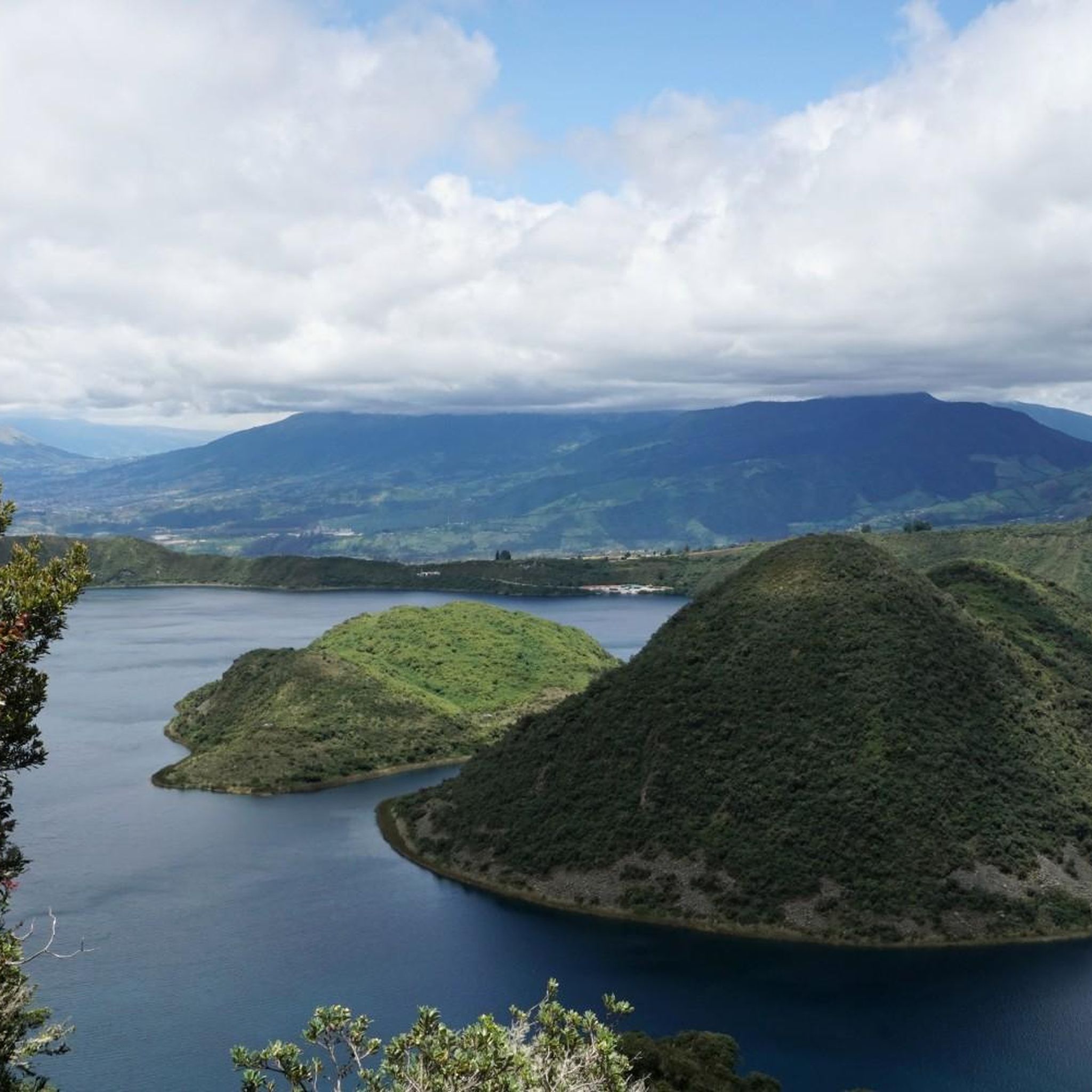
Hiking in Eugenio Espejo (Calpaqui) offers diverse terrain shaped by its volcanic origins, providing varied outdoor experiences. The region features significant volcanic lakes such as Lago San Pablo and Laguna Grande de Mojanda, alongside the crater lake of Cuicocha. Waterfalls like Peguche Waterfall are prominent natural attractions, with trails leading through Andean landscapes and páramo grasslands. The area provides access to volcanic peaks and highlands, catering to different hiking preferences.
Best hiking trails in Eugenio Espejo (Calpaqui)
- The most popular…
Last updated: July 2, 2026
4.8
(6)
79
hikers
3.64km
01:56
460m
460m
Moderate hike. Good fitness required. Easily-accessible paths. Suitable for all skill levels.
4.0
(4)
34
hikers
6.82km
01:57
140m
140m
Easy hike. Great for any fitness level. Easily-accessible paths. Suitable for all skill levels.

Sign up for free
4.3
(3)
11
hikers
9.67km
02:56
310m
310m
Moderate hike. Good fitness required. Easily-accessible paths. Suitable for all skill levels.
4.7
(3)
15
hikers
12.4km
03:40
330m
330m
Moderate hike. Good fitness required. Easily-accessible paths. Suitable for all skill levels.
12
hikers
5.42km
02:32
480m
480m
Hard hike. Good fitness required. Sure-footedness, sturdy shoes and alpine experience required.
Get access to more routes and recommendations from other explorers.
Sign up for free
Already have an account?
Our route recommendations are based on thousands of hikes, rides, and runs completed by other people on komoot.
Start today with a free account
Your next adventure awaits.
Login or Signup

Tips from the Community

Look for a sacred place with beautifully landscaped hiking trails. At the top you can crawl through narrow caves and discover other smaller waterfalls. Entrance fees are required.
2
0
Behind the figures at the parking lot there is a sales area of the local indigenous people, where you can also have a drink.
2
0
These are new sculptures that probably belong to the local soccer field and playground across the street. A bench invites you to rest.
2
0
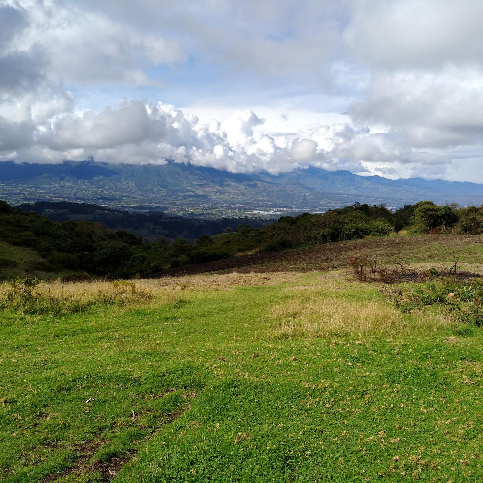
El Lechero is a viewpoint whose tree at the top of the hill is considered sacred. Although unknown to many people, this tranquil spot offers beautiful views of the surrounding area. Located in Otavalo, Ecuador near Condor Park. El Lechero, Otavalo's sacred tree, is part of local mythology and is believed to house the soul of a cursed lover who fell in love with a boy from a rival family. And then it was transformed into nearby Lake San Pablo. From the El Lechero viewpoint you can see Lake San Pablo, the Fuya Fuya Mountains, the Cotacachi Volcanoes, Imbabura and a great view of the city of Otavalo. The place where the tree stands is considered a sacred place with healing powers by local people. There are indigenous Otavaleños who perform many purification rituals and spiritual ceremonies. El Lechero is a place open to the public, where you can not only take beautiful photos, but also have picnics. To get there, you'll have to walk a steep 5km or so from Otavalo or hire a taxi for around $4 each way. There is no transport at the top. Ask the driver to wait if he doesn't want to go back. Source: https://www.planetandes.com/es/ecuador/andes/imbabura/otavalo/el-lechero-arbol-sagrado-otavalo/
2
0
Lake San Pablo or Imbacocha, Spanish Lago San Pablo, Kichwa: Impakucha ("Lake of the Andean Climbing Catfish": impa "Andean Climbing Catfish", kucha "lake") is located in the province of Imbabura in northern Ecuador, at 2,660 m above sea level, below the Imbabura volcano, has a water surface of about 1.8 km² and is of volcanic origin. Source: https://de.wikipedia.org/wiki/Lago_San_Pablo You can take boats across the lake. There are a few stalls at the departure point.
0
0

Park Linear or Park of the Dinosaurs.
0
0
Guitar and German shepherd can be found among other things in the figures.
0
0
Frequently Asked Questions
How many hiking trails are available in Eugenio Espejo (Calpaqui)?
Eugenio Espejo (Calpaqui) offers a variety of hiking experiences, with over 10 routes documented on komoot. These trails range in difficulty and length, providing options for different preferences.
What types of landscapes can I expect to see while hiking in Eugenio Espejo (Calpaqui)?
The region is characterized by diverse and striking natural landscapes, including mountainous terrain, Andean forests, and páramo grasslands. You'll encounter volcanic origins, with trails leading to significant volcanic lakes like Laguna Grande de Mojanda and San Pablo Lake, as well as dramatic vistas around volcanic peaks.
Are there any easy hiking options suitable for beginners or families?
Yes, there are easy hiking options available. For instance, the Natural Swimming Pool – Peguche Waterfall loop from Otavalo is an easy 6.8 km path that takes around 1 hour 56 minutes, offering a gentle introduction to the area's beauty.
What are some notable natural features or landmarks to explore on the trails?
Hikers can discover several prominent natural attractions. The sacred Peguche Waterfall is a must-see, with trails leading through its beautifully landscaped surroundings. You can also explore volcanic lakes such as Laguna Grande de Mojanda and San Pablo Lake, which offer stunning views.
Are there any circular hiking routes in Eugenio Espejo (Calpaqui)?
Yes, several circular routes are available, allowing you to start and end at the same point. A popular option is the Fuja Fuja Peak – Fuya Fuya loop from Mojanda Lakes, a moderate 3.6 km trail that ascends a volcanic peak. Another is the Peguche Waterfall – Natural Swimming Pool loop from Otavalo, a moderate 9.4 km path.
What is the typical duration for hikes in this region?
Hiking durations vary depending on the trail's length and difficulty. Shorter, easy routes like the Natural Swimming Pool – Peguche Waterfall loop from Otavalo can be completed in under 2 hours. More challenging or longer routes, such as the Fuya Fuya – Laguna Grande de Mojanda loop from camping, might take around 2 hours 30 minutes or more.
What is the best time of year to go hiking in Eugenio Espejo (Calpaqui)?
Ecuador's Andean region generally experiences two main seasons: a dry season (typically June to September) and a wet season (October to May). The dry season often offers clearer skies and more stable weather, making it ideal for hiking, especially for trails involving higher elevations or volcanic peaks. However, conditions can change rapidly in the mountains, so always be prepared for varying weather.
What do other hikers say about the trails in Eugenio Espejo (Calpaqui)?
The trails in Eugenio Espejo (Calpaqui) are highly rated by the komoot community, with an average score of 4.6 stars from over 20 reviews. Hikers often praise the varied terrain, stunning volcanic landscapes, and the beauty of natural features like the Peguche Waterfall and the Mojanda Lakes.
Are there any challenging hikes for experienced trekkers?
Yes, for experienced trekkers seeking a challenge, routes like the Fuya Fuya – Laguna Grande de Mojanda loop from camping offer a difficult 5.5 km journey through volcanic landscapes, including significant elevation changes. The ascent of Fuya Fuya can be particularly challenging, especially when muddy, but provides rewarding views.
Can I reach the hiking trailheads using public transport?
While specific public transport details for every trailhead are not available, the region is accessible. For example, trails around Peguche Waterfall and Otavalo, such as the Plaza de los Ponchos Market – Peguche Waterfall loop from Otavalo, often start near towns that are well-served by local buses, making them more accessible without a private vehicle.
What kind of wildlife might I encounter on the trails?
The Andean forests and páramo grasslands of the region are home to diverse wildlife. Hikers might spot llamas, alpacas, wild horses, wild rabbits, and deer. If you're lucky, you might even catch a glimpse of the majestic Andean condor soaring overhead, making for a visually rich trekking experience.
Most popular routes in Eugenio Espejo (Calpaqui)
Most popular attractions in Eugenio Espejo (Calpaqui)

Get inspired with the komoot mobile app


Explore more
Browse the best Hikes in other regions.
