The best running trails in Cotacachi
5.0
(3)
222
runners
6
runs
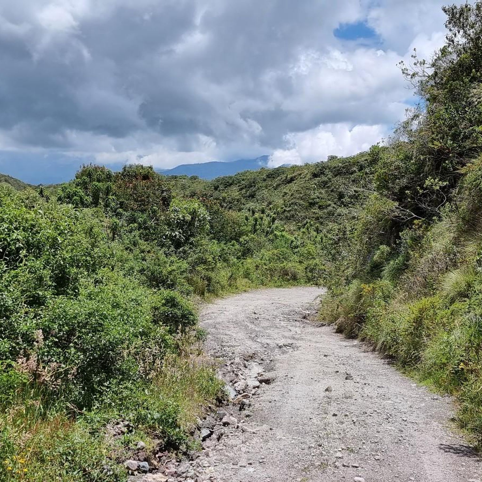
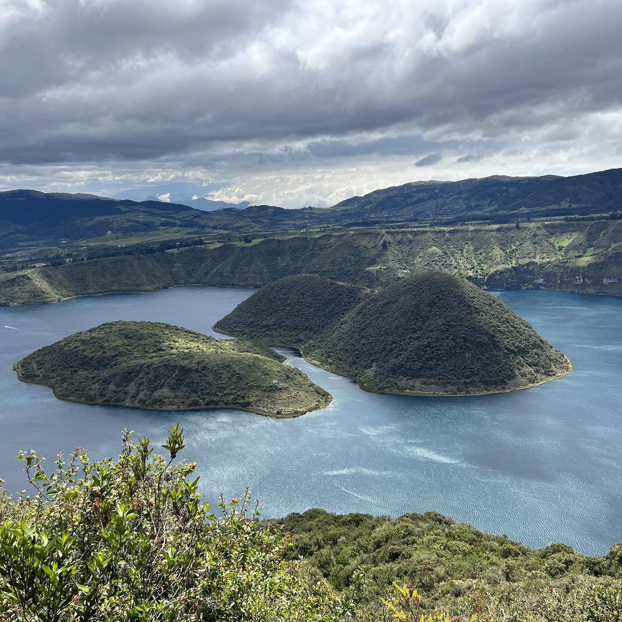
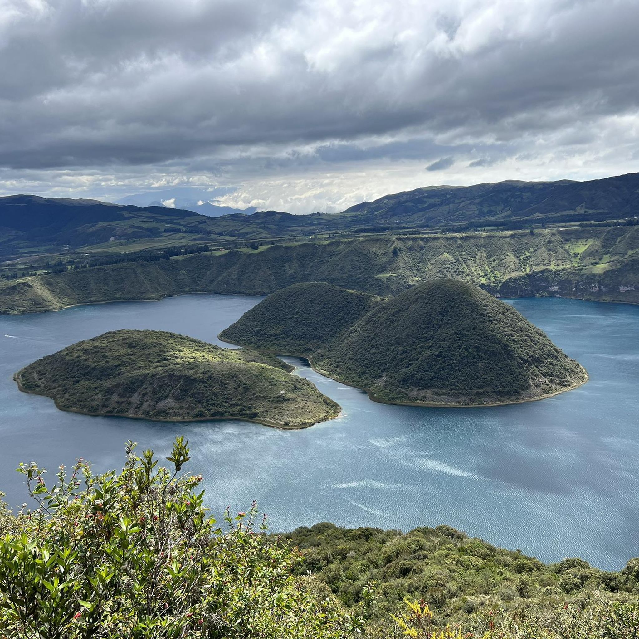
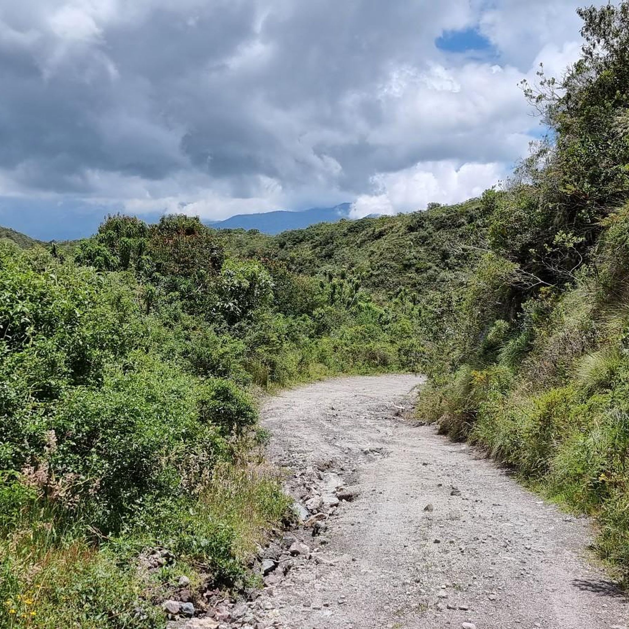
Jogging in Cotacachi offers diverse terrain set against the Andean mountains. The region features volcanic crater lakes, cloud forests, and paramo grasslands, providing varied landscapes for running. Trails often include significant elevation changes, traversing through lush forests and open mountain areas. This environment makes Cotacachi a destination for runners seeking challenging routes with scenic backdrops.
Best jogging routes in Cotacachi
- The most popular jogging route is Cuicocha Lake loop from Parqueadero Laguna Cuicocha, a 7.6 miles (12.2 km) trail…
Last updated: June 28, 2026
5.0
(1)
101
runners
12.2km
01:49
540m
530m
Hard run. Very good fitness required. Mostly paved surfaces. Suitable for all skill levels.
5.0
(2)
65
runners
14.9km
02:04
670m
670m
Hard run. Very good fitness required. Mostly paved surfaces. Suitable for all skill levels.

Sign up for free
24
runners
8.19km
01:10
370m
370m
Hard run. Very good fitness required. Mostly paved surfaces. Suitable for all skill levels.
24
runners
30.4km
04:17
1,300m
1,300m
Hard run. Very good fitness required. Mostly paved surfaces. Suitable for all skill levels.
8
runners
7.14km
01:08
420m
420m
Hard run. Very good fitness required. Mostly paved surfaces. Suitable for all skill levels.
Our route recommendations are based on thousands of hikes, rides, and runs completed by other people on komoot.
Start today with a free account
Your next adventure awaits.
Login or Signup
Popular around Cotacachi
Tips from the Community

The town of Otavalo is located at 2,532 meters above sea level. It offers many services and is perfect for a few days' break. Worth visiting is the Mercado Municipal 24 de Mayo which offers a wide choice of fresh local products and, above all, a food court in which to refresh yourself!
2
0

Frequently Asked Questions
What kind of terrain can I expect on running trails in Cotacachi?
Cotacachi's running trails offer a diverse range of terrain, from loops around volcanic crater lakes like Cuicocha to paths through cloud forests and paramo grasslands. You'll encounter varying inclines and significant elevation changes, all set against the stunning backdrop of the Andean mountains.
Are there many challenging running routes in the Cotacachi region?
Yes, the Cotacachi region is known for its challenging running routes. All the routes listed in this guide are rated as difficult, featuring significant elevation gains and distances. For example, the Cuicocha Lake loop from Parqueadero Laguna Cuicocha covers 12.2 km with over 500 meters of ascent.
Can I find running routes that pass by waterfalls in Cotacachi?
Absolutely! The area near Otavalo, a short distance from Cotacachi, features routes that lead to the beautiful Peguche Waterfall. Consider the Cascada de Peguche loop from Otavalo, which offers a scenic 8.1 km run through protected forests and past the falls. The waterfall itself is a notable attraction: Peguche Waterfall.
What are some notable landmarks or natural features to see while jogging in Cotacachi?
While jogging in Cotacachi, you can experience breathtaking natural beauty. The region is home to the stunning Cuicocha Lagoon, a volcanic crater lake, and parts of the Cotacachi-Cayapas Ecological Reserve. You might also encounter the Peguche Waterfall or enjoy views from the El Lechero Sacred Tree and Viewpoint.
Are there any circular running routes available in Cotacachi?
Yes, many of the popular running routes in Cotacachi are circular, allowing you to start and end at the same point. A prime example is the El Arrayan loop from Parqueadero Laguna Cuicocha, a 7.1 km trail that takes you through Andean landscapes near Cuicocha Lake.
What do other runners say about the jogging routes in Cotacachi?
The running routes in Cotacachi are highly regarded by the komoot community, with an average rating of 5.0 stars from over 2 reviews. More than 200 runners have explored the varied terrain, often praising the stunning Andean backdrops and the challenging yet rewarding experiences offered by the trails.
Are there any longer running routes for experienced trail runners?
For experienced trail runners seeking a longer challenge, the region offers routes such as a 30.7 km version of the Cascada de Peguche – El Lechero loop from Otavalo. This extensive path includes over 1200 meters of elevation gain, providing a significant endurance test through diverse landscapes.
Is it possible to find running trails with good parking access in Cotacachi?
Many popular running routes, especially those around Cuicocha Lake, offer convenient parking. For instance, the Cuicocha Lake loop starts directly from Parqueadero Laguna Cuicocha, making it easy to access by car.
What is the best time of year to go running in Cotacachi?
Cotacachi's climate is generally mild year-round due to its high altitude. However, the dry season (typically June to September) often offers clearer skies and more stable weather conditions, which can be ideal for running and enjoying the panoramic views without as much risk of rain.
Are there any running routes that offer views of the Cotacachi Volcano?
While direct routes up the Cotacachi Volcano are more suited for strenuous trekking, many trails in the surrounding Cotacachi-Cayapas Ecological Reserve and around Cuicocha Lagoon offer spectacular views of the majestic 4,940-meter peak. The diverse terrain ensures you'll often have the volcano as a stunning backdrop.
How many running routes are available in the Cotacachi region on komoot?
There are several running routes available in the Cotacachi region on komoot, with this guide highlighting 5 top options. In total, komoot features 6 routes for jogging in the area, all of which are categorized as difficult, catering to runners looking for a challenge.
Most popular routes in Cotacachi
Most popular attractions in Cotacachi

Get inspired with the komoot mobile app


Explore more
Browse the best Running Trails & Routes in other regions.
