The best cycling routes in San Joaquin
4.8
(60)
1,298
riders
73
rides
Touring cycling routes in San Joaquin traverse a diverse landscape characterized by vast agricultural lands, scenic waterways, and rolling hills. The region features the prominent San Joaquin River, along with various sloughs and preserves that offer riparian corridors. Terrain varies from flat, paved paths ideal for leisurely rides to more challenging routes with moderate elevation gains through the foothills, chaparral uplands, and oak woodlands. This area provides a blend of natural beauty and agricultural charm for cyclists.
Best touring cycling…
Last updated: July 12, 2026
5.0
(1)
110
riders
44.6km
02:56
600m
600m
Hard bike ride. Very good fitness required. Mostly paved surfaces. Suitable for all skill levels.
4.3
(3)
103
riders
34.7km
02:15
430m
430m
Moderate bike ride. Good fitness required. Mostly paved surfaces. Suitable for all skill levels.

Sign up for free
18
riders
87.7km
06:01
1,490m
1,490m
Hard bike ride. Very good fitness required. Mostly paved surfaces. Suitable for all skill levels.
5.0
(1)
16
riders
36.5km
03:21
880m
880m
Hard bike ride. Very good fitness required. Mostly paved surfaces. Suitable for all skill levels.
9
riders
14.4km
00:59
200m
200m
Moderate bike ride. Good fitness required. Mostly paved surfaces. Suitable for all skill levels.
Get access to more routes and recommendations from other explorers.
Sign up for free
Already have an account?
Our route recommendations are based on thousands of hikes, rides, and runs completed by other people on komoot.
Start today with a free account
Your next adventure awaits.
Login or Signup
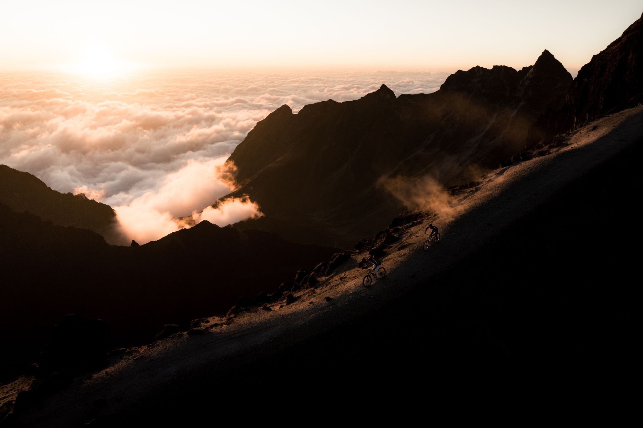
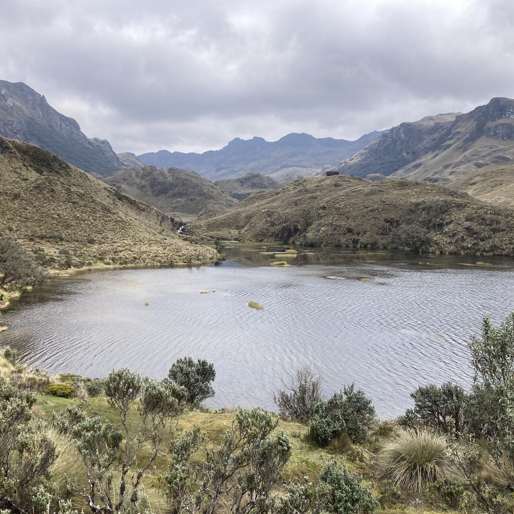
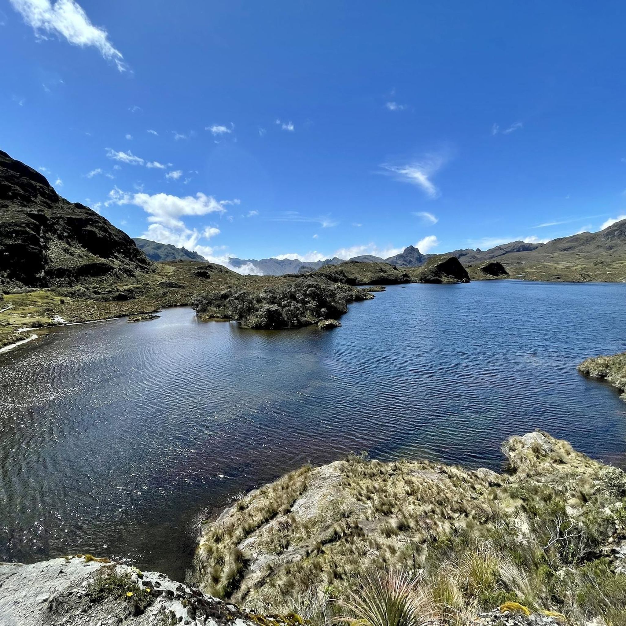
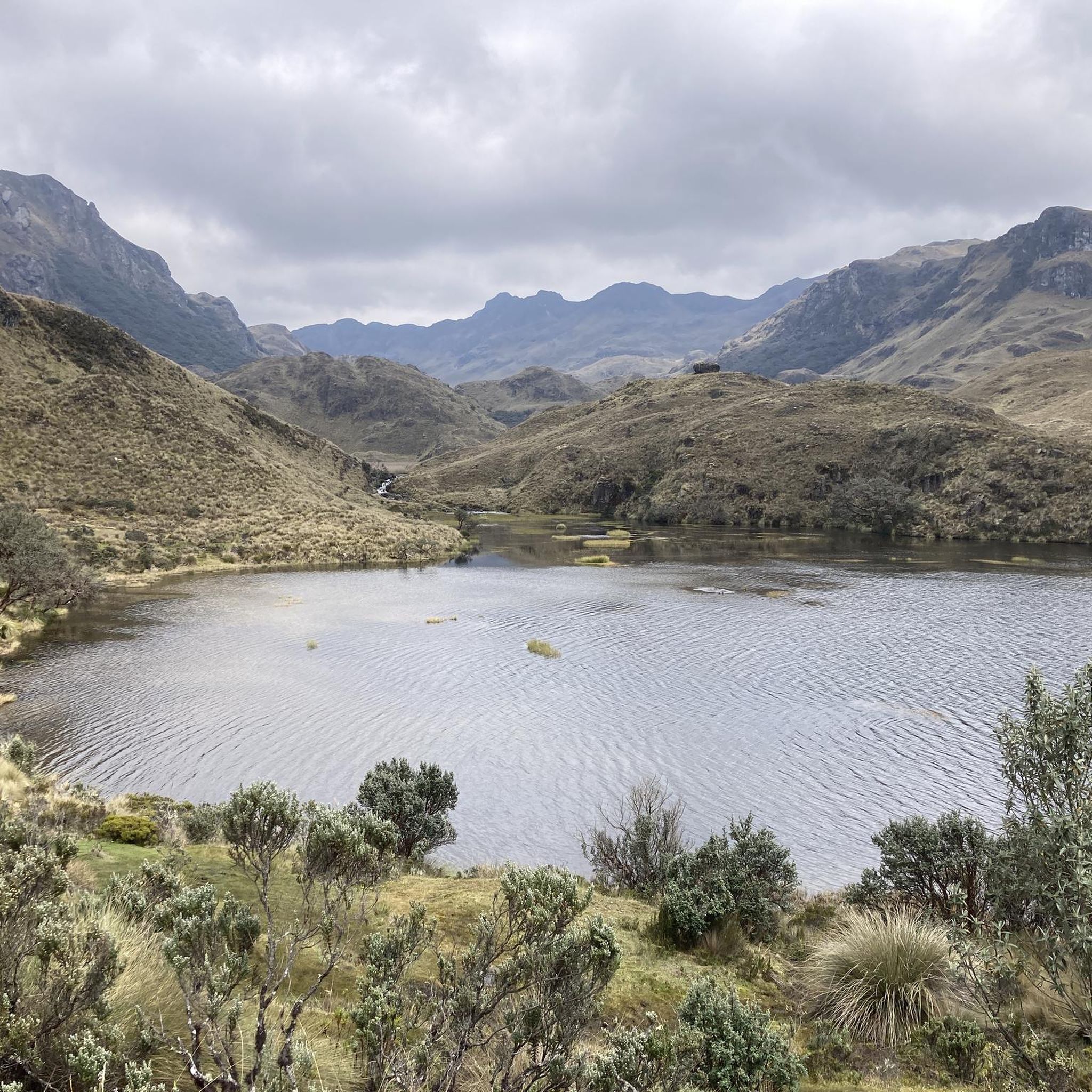
Other adventures in San Joaquin

Tips from the Community

castle apparently under reconstruction
0
0

A very beautiful, idyllic and very well-kept park on the banks of the two rivers Tomebamba and Yanuncay, located exactly between the bifurcation. The highlight is on a small island in the middle of the park, free-roaming geese cackle around you, while you can sit on small seating areas by the water.
0
0

A highly recommended route, few vehicles and many cyclists on weekends, a great variety of restaurants and beautiful views to take photographs of the route along the river.
0
0

splendid colonial city, restaurants, supermarkets, bars and nightlife on the Trans Ecuador Mountain Bike Route, it is almost a must to stop for a few days to eat well, rest and have fun
0
0

Cuenca, with its almost 700,000 inhabitants, is the third largest city in Ecuador. It is located at an altitude of 2,500 meters above sea level, within a basin surrounded by gentle hills (hills that reach altitudes even above 3,000 metres). The city is an extraordinary combination of Andean and European culture. It offers everything you need for a regenerating break from the pedals. Don't miss the Pumapungo anthropological museum: it helps you learn more about Ecuadorian traditions and culture.
1
0

excellent viewpoint of the city of Cuenca
1
0
Frequently Asked Questions
How many touring cycling routes are available in San Joaquin?
San Joaquin offers a wide range of touring cycling routes, with over 70 options available on komoot. These routes cater to various skill levels, from easy rides to more challenging treks.
What kind of terrain can I expect on touring cycling routes in San Joaquin?
The terrain in San Joaquin is quite diverse. You'll find flat, paved paths ideal for leisurely rides, especially along the San Joaquin River and its delta. Other routes venture through rolling hills and agricultural lands, offering moderate to significant elevation gains. For example, the Castle Near Cuenca – Sustag loop from El Batán features varied terrain with nearly 600 meters of elevation gain.
Are there any easy touring cycling routes suitable for beginners or families?
Yes, San Joaquin has several easy touring cycling routes. These often follow dedicated bike paths or flat river loops, providing a relaxed experience. While specific family-friendly routes are not detailed in the provided data, the region's flat river and delta routes, such as those along the San Joaquin River or French Camp Slough, are generally suitable for less experienced cyclists.
What natural features or landmarks can I see along the touring cycling routes?
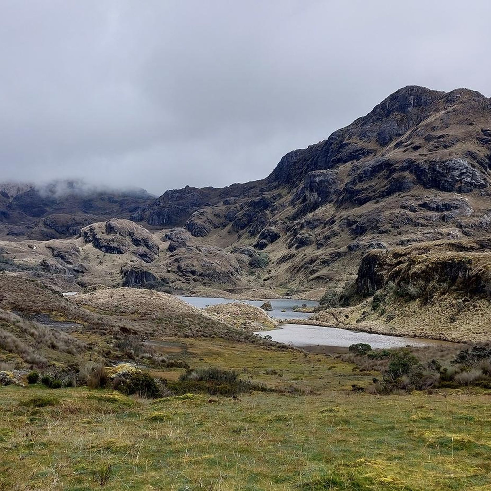
San Joaquin's touring cycling routes offer views of diverse natural features and landmarks. You can explore the rich ecosystems of the San Joaquin River, its delta, and agricultural landscapes. Notable attractions include Laguna Toreadora, the García Moreno Trail, and the Mirador Tres Cruces viewpoint. The region is also known for its critical habitat for birds and waterfowl, especially along the Pacific Flyway.
Are there any circular touring cycling routes in San Joaquin?
Many touring cycling routes in San Joaquin are designed as loops, allowing you to start and end at the same point. Examples include the popular Castle Near Cuenca – Sustag loop from Plaza del parque and the Castle Near Cuenca loop from Las Palmeras, both offering scenic rides through the landscape.
What is the best time of year to go touring cycling in San Joaquin?
The best time for touring cycling in San Joaquin generally depends on your preference. The spring, particularly from mid-February to mid-March, is vibrant with the Fresno County Blossom Trail showcasing orchards in bloom. However, the region offers pleasant cycling conditions through much of the year, with river and delta routes being enjoyable in milder weather. Always check local weather forecasts before heading out.
What do other touring cyclists enjoy most about cycling in San Joaquin?
The touring cycling routes in San Joaquin are highly rated by the komoot community, with an average score of 4.9 stars from over 50 reviews. Cyclists often praise the varied terrain, from flat river paths to challenging pass loops, and the unique blend of natural beauty and agricultural charm. The region's commitment to developing bike infrastructure also enhances the experience.
Are there any long-distance touring cycling routes in San Joaquin?
Yes, for those seeking longer rides, San Joaquin offers routes that can extend for significant distances. For instance, the Castle Near Cuenca – Soldados Village loop from El Batán is a challenging route spanning nearly 59 kilometers with over 800 meters of elevation gain, providing a substantial touring experience.
Can I find routes with significant elevation gain for a more challenging ride?
Absolutely. San Joaquin features several routes with notable elevation gains for experienced touring cyclists. The New Cathedral of Cuenca – Cuenca loop from Rio Amarillo, for example, includes over 650 meters of ascent, offering a demanding yet rewarding ride through varied terrain.
Are there specific areas known for their natural beauty for touring cyclists?
Yes, areas like the Cosumnes River Preserve are ecological wonders with oak trees, marshland, and diverse wildlife, making for a beautiful ride. The San Joaquin River Ecological Reserve also offers an undisturbed riparian corridor. These locations provide a rich natural backdrop for touring cyclists.
Is public transport accessible near touring cycling routes in San Joaquin?
While specific public transport connections to individual trailheads are not detailed, the San Joaquin Council of Governments is actively working on improving bike and pedestrian connectivity throughout the county. For detailed information on public transport options to specific starting points, it's advisable to check local transit authority websites.
Where can I find parking for touring cycling routes?
Many popular cycling areas and parks in San Joaquin, such as Micke Grove Regional Park and Oak Grove Regional Park, offer designated parking facilities. For specific routes, it's recommended to check the route details on komoot or local park websites for information on available parking near trailheads.
Most popular attractions in San Joaquin

Get inspired with the komoot mobile app


Explore more
Browse the best Cycling routes in other regions.
