The best walks and hikes in San Joaquin
4.8
(87)
349
hikers
10
hikes
Hiking in San Joaquin offers diverse outdoor experiences across varied landscapes. The region features riverine and wetland environments, including the Sacramento-San Joaquin River Delta. Towards the eastern parts, oak woodlands and chaparral-clothed uplands provide different hiking experiences. Lakes and reservoirs contribute to scenic beauty, while the Sierra Nevada foothills offer more elevated terrain.
Best hiking trails in San Joaquin
- The most popular hiking route is Laguna Toreadora – United Lagoons loop from El Cajas - La Toreadora, a 3.5…
Last updated: July 11, 2026
4.9
(51)
232
hikers
5.68km
02:02
190m
190m
Moderate hike. Good fitness required. Mostly accessible paths. Sure-footedness required.
4.6
(18)
63
hikers
11.7km
03:45
420m
420m
Moderate hike. Good fitness required. Mostly accessible paths. Sure-footedness required.

Sign up for free
4.7
(14)
37
hikers
7.56km
02:43
260m
260m
Moderate hike. Good fitness required. Mostly accessible paths. Sure-footedness required.
5.0
(1)
6
hikers
12.4km
04:26
410m
410m
Hard hike. Good fitness required. Sure-footedness, sturdy shoes and alpine experience required.
5.0
(3)
11
hikers
6.21km
02:07
280m
280m
Moderate hike. Good fitness required. Easily-accessible paths. Suitable for all skill levels.
Get access to more routes and recommendations from other explorers.
Sign up for free
Already have an account?
Our route recommendations are based on thousands of hikes, rides, and runs completed by other people on komoot.
Start today with a free account
Your next adventure awaits.
Login or Signup
Other adventures in San Joaquin

Tips from the Community

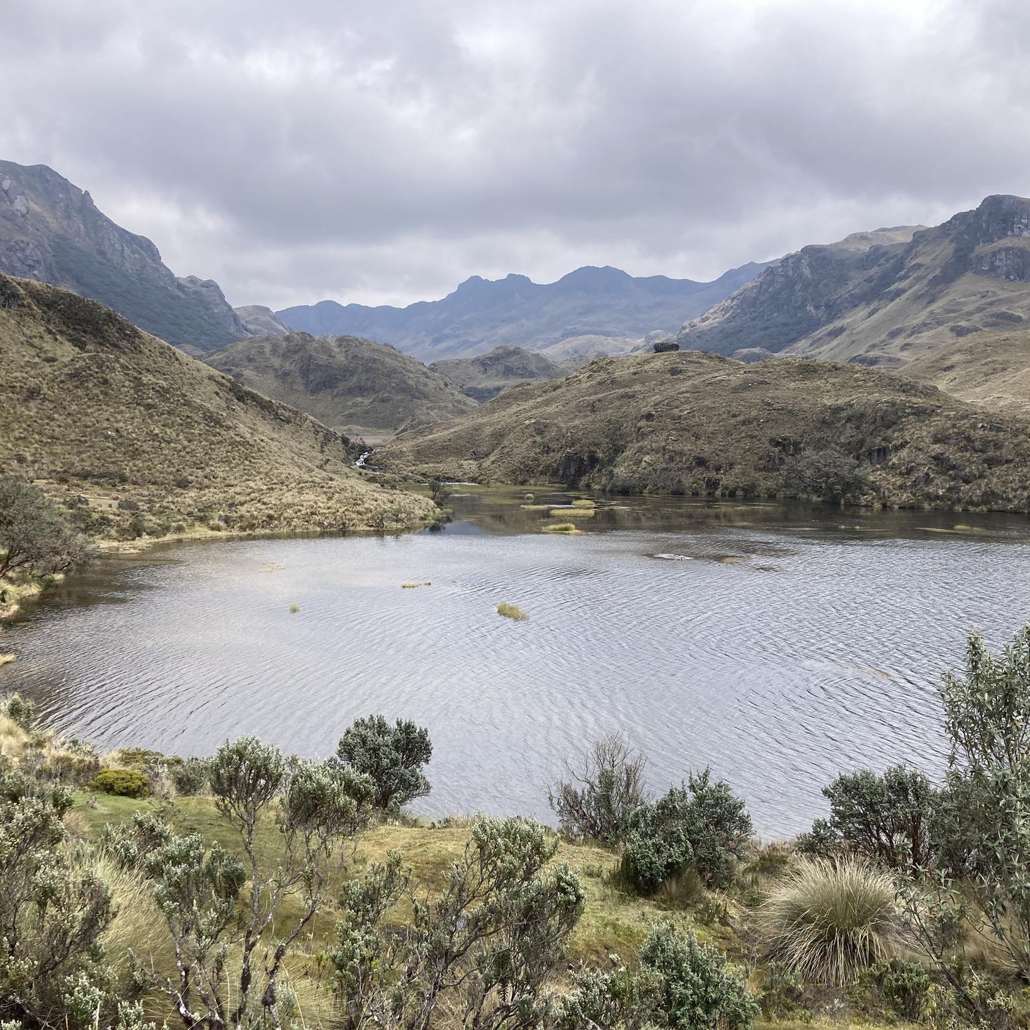
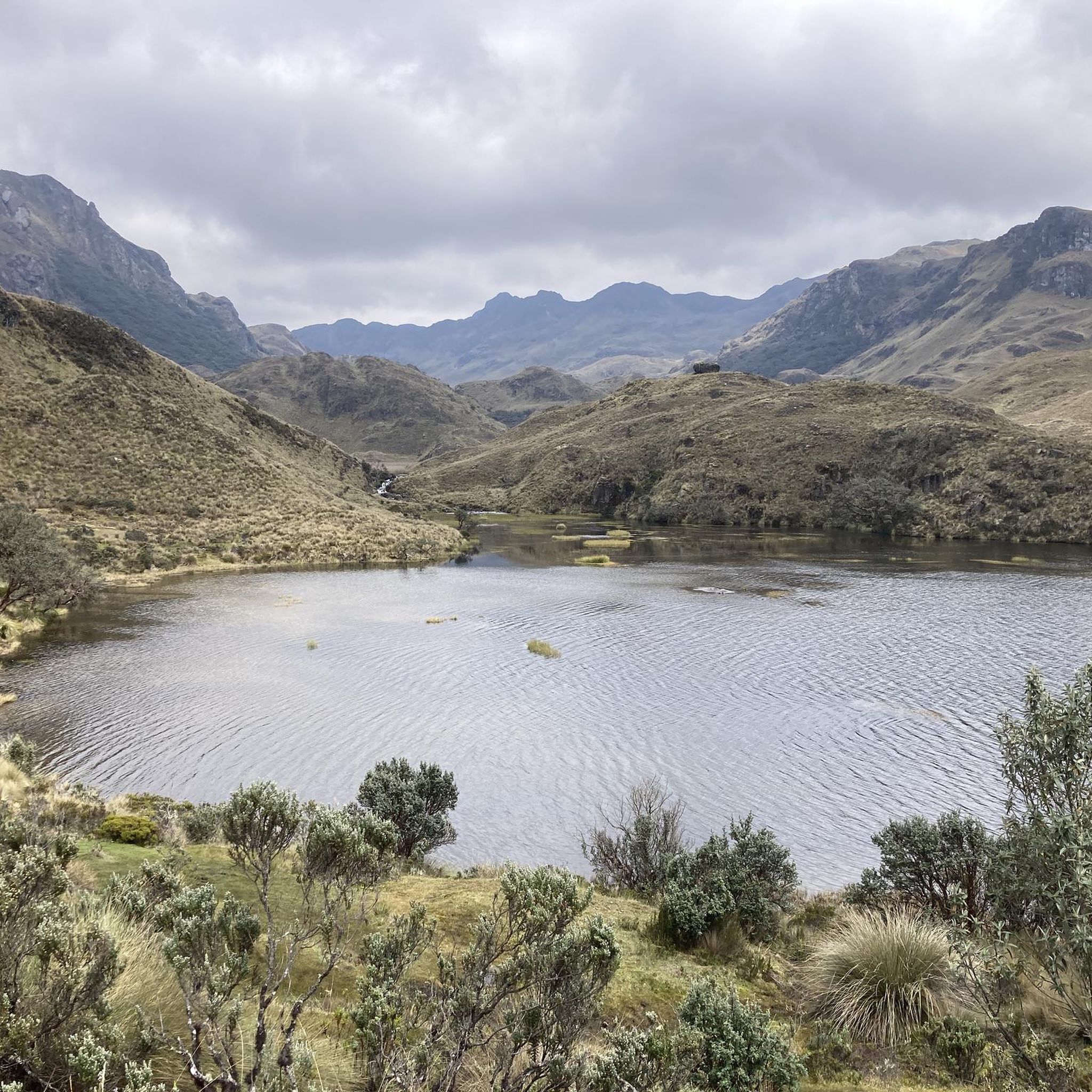
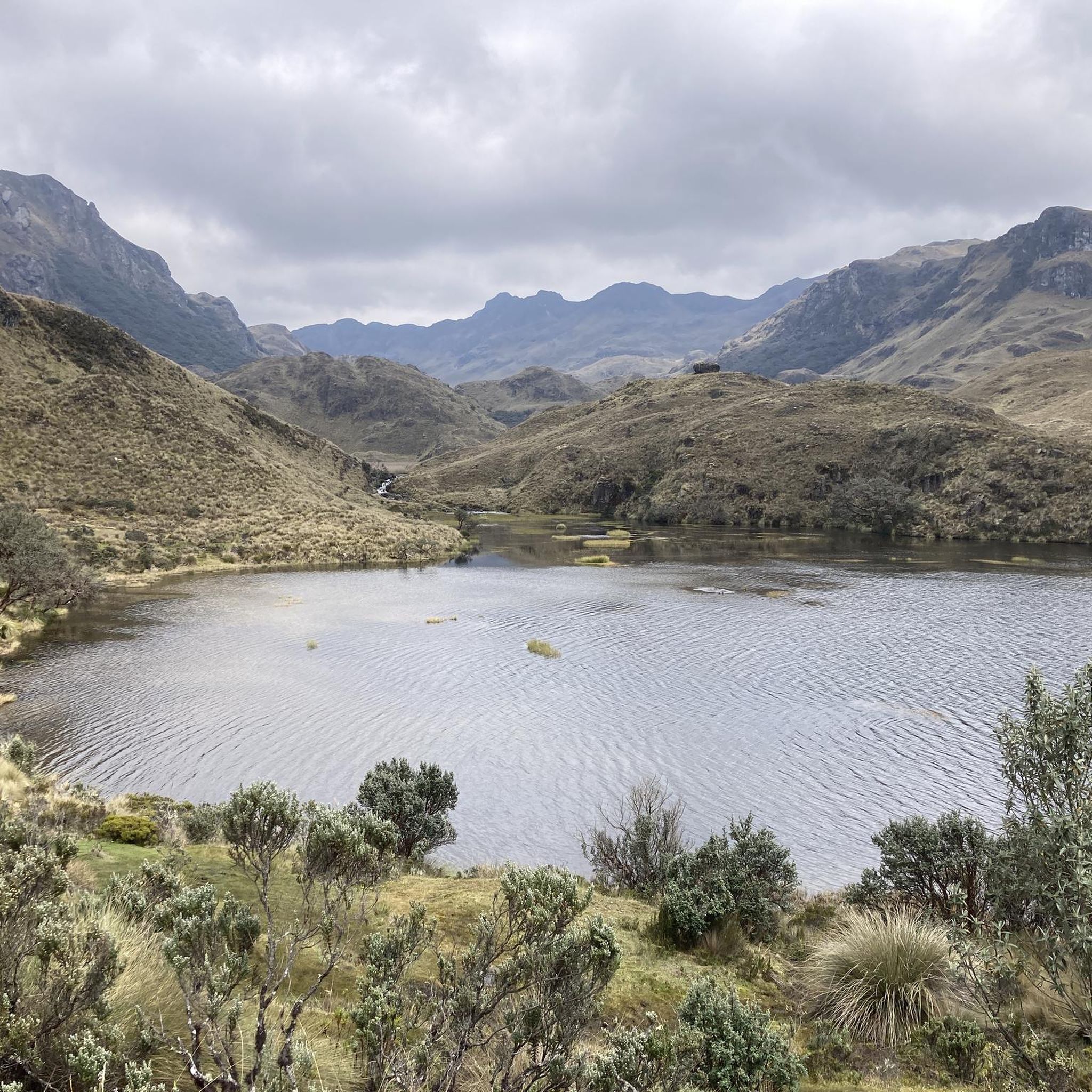
Mirador Tres Cruces is a lookout point at the highest point of Cajas National Park, offering phenomenal views over the lagoons and the Cajas Mountains. From here, you can embark on various hikes around the lagoons or through the raised bog.
0
0

One of the many wonderful views and insights in Cajas NP. Also easy to reach for the quick passer-by.
1
0

A paradise for nature lovers
0
0
Beautiful scenery and you're almost alone.
0
0

Beautiful flora and fauna on the hike.
0
0

The wooden planks that lead to the small observation decks, which are occupied by all the bus tourists, did not interest us at this pass. We aimed for the highest point. Those under the antenna and the shelter. Here we found wide views over the many lakes, part of the local Inca Trail. It's always a good feeling to stand at the top in the wind of the wilderness, as if you were master of the realms below you.
1
0
Nice views from the hills along the way. A deep view of the lake landscape and the Paramo
2
0

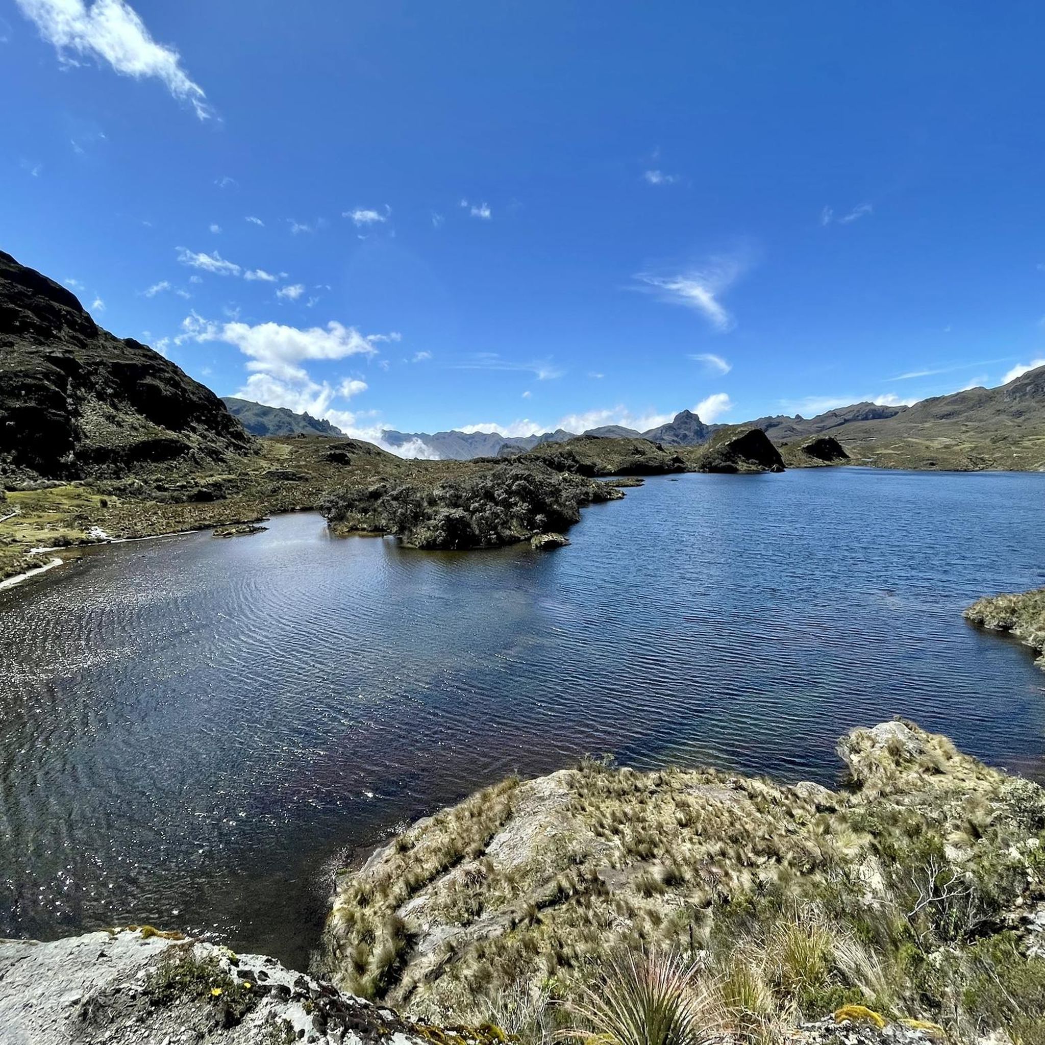
Nice vantage point on the lake.
1
0
Frequently Asked Questions
What types of landscapes can I expect to see while hiking in San Joaquin?
San Joaquin offers a diverse range of landscapes. You'll find extensive riverine and wetland environments, particularly around the Sacramento-San Joaquin River Delta. Towards the eastern parts, there are beautiful oak woodlands and chaparral-clothed uplands, especially in areas like the San Joaquin River Gorge. Several lakes and reservoirs, such as Millerton Lake and Rancho Seco Lake, also provide scenic waterfront trails.
Are there any challenging hikes for experienced trekkers in San Joaquin?
Yes, while many trails are moderate, San Joaquin does offer more challenging options. For instance, the Mirador Tres Cruces – Huagrahuma loop from Hermanos Prado is rated as difficult, covering 12.4 km with over 400 meters of elevation gain, typically taking around 4 hours and 26 minutes to complete.
What are some notable natural features or attractions to look out for on the trails?
Hikers can discover several interesting natural features and attractions. The region is home to beautiful lakes like Laguna Toreadora and the Toreadora Refuge. You might also encounter scenic viewpoints such as Mirador Tres Cruces, offering expansive vistas. The San Joaquin River Gorge is known for its spring wildflower displays and impressive canyon views.
Are there any trails suitable for families or those looking for an easier walk?
While this guide focuses on moderate to difficult routes, the San Joaquin region generally offers a variety of trails. Areas like Oak Grove Regional Park and Caswell Memorial State Park feature shorter loops through oak forests and riparian areas, which are often suitable for families. The San Joaquin River Parkway also has accessible paths for leisurely strolls.
Can I find circular hiking routes in San Joaquin?
Yes, many of the popular routes in San Joaquin are circular, allowing you to start and end at the same point. Examples include the Laguna Toreadora – United Lagoons loop and the United Lagoons – Laguna Toreadora loop, both offering a complete circuit through varied terrain.
What do other hikers say about the trails in San Joaquin?
The trails in San Joaquin are highly regarded by the komoot community, holding an impressive average rating of 4.8 stars from over 80 reviews. Hikers frequently praise the diverse landscapes, from riverine paths to oak woodlands, and the well-maintained nature of many routes.
Are there specific areas known for wildlife viewing or birdwatching?
Yes, the region's riverine and wetland environments are excellent for wildlife viewing. The Sacramento-San Joaquin River Delta and the Cosumnes River Preserve are particularly rich in diverse habitats, making them prime locations for birdwatching and observing local flora and fauna.
What is the best time of year to go hiking in San Joaquin?
Spring is often considered an ideal time for hiking in San Joaquin, especially in areas like the San Joaquin River Gorge, when wildflowers are in bloom. Fall also offers pleasant temperatures and beautiful scenery. Summers can be hot, particularly in the valley, so early morning hikes are recommended. Winter hiking is possible, but conditions can vary, especially closer to the Sierra Nevada foothills.
Are there any trails that follow rivers or offer waterfront views?
Absolutely. The San Joaquin River Parkway and Trails offer numerous paths along the riverbanks, including the Tom MacMichael Sr. Trail and the Lewis S. Eaton Trail. Additionally, trails around lakes and reservoirs like Millerton Lake, Rancho Seco Lake, and Clifton Court Forebay provide scenic waterfront views.
What kind of elevation changes can I expect on San Joaquin trails?
Elevation changes vary significantly across the region. Many trails in the riverine and delta areas are relatively flat. However, as you move towards the oak woodlands and Sierra Nevada foothills, you'll encounter more substantial ascents. For example, the García Moreno Trail – Laguna Toreadora loop features over 420 meters of elevation gain, offering a good workout.
Are there any trails that connect to larger, more famous long-distance routes?
The San Joaquin River Trail system is ambitious, aiming to extend from the valley floor into the western slope of the Sierra Nevada. This system is designed to eventually connect with renowned long-distance trails such as the John Muir Trail and the Pacific Crest Trail, offering access to spectacular mountain scenery. You can learn more about the San Joaquin River Trail via Sierra Nevada Geotourism.
Where can I find information about specific recreation areas like the San Joaquin River Gorge?
The San Joaquin River Gorge Special Recreation Management Area is a popular hub for outdoor activities, boasting over 20 miles of multi-use trails. For detailed information about this area, including trail specifics and regulations, you can visit the Bureau of Land Management website.
Most popular attractions in San Joaquin

Get inspired with the komoot mobile app


Explore more
Browse the best Hikes in other regions.
