The 12 Most Amazing Peaks around Salzhemmendorf
Best mountain peaks around Salzhemmendorf are found within a diverse low mountain range landscape in Lower Saxony. The region features forested hills and several prominent summits, many of which host observation towers. Visitors can explore 12 distinct peaks, offering various perspectives of the surrounding area. These locations provide opportunities for outdoor activity and scenic views.
Best mountain peaks around Salzhemmendorf
- The most popular mountain peaks is View from the Ith Tower, a viewpoint that stands on the Lauensteiner Kopf,…
Last updated: July 7, 2026
View from the Ith Tower
Highlight • Viewpoint
Translated by Google •
Tip by

Ebersnacken Tower
Highlight • Viewpoint
Translated by Google •
Tip by

Sign up now to discover places like this
Get recommendations on the best single tracks, peaks, & plenty of other exciting outdoor places.
Sign up for free
Löns Tower on Thüster Berg
Highlight • Viewpoint
A tower in honor of Hermann Löns
This tower stands at about the highest point of …
Translated by Google •
Tip by

Bloße Zelle (480 m) — Highest point in the Hils
Highlight • Summit
Showing Translation
Tip by

Highest point in the Osterwald
Highlight • Summit
Translated by Google •
Tip by
Sign up for free to discover even more peaks around Salzhemmendorf.
Sign up for free
Already have an account?
Start today with a free account
Your next adventure awaits.
Login or Signup
Popular around Salzhemmendorf
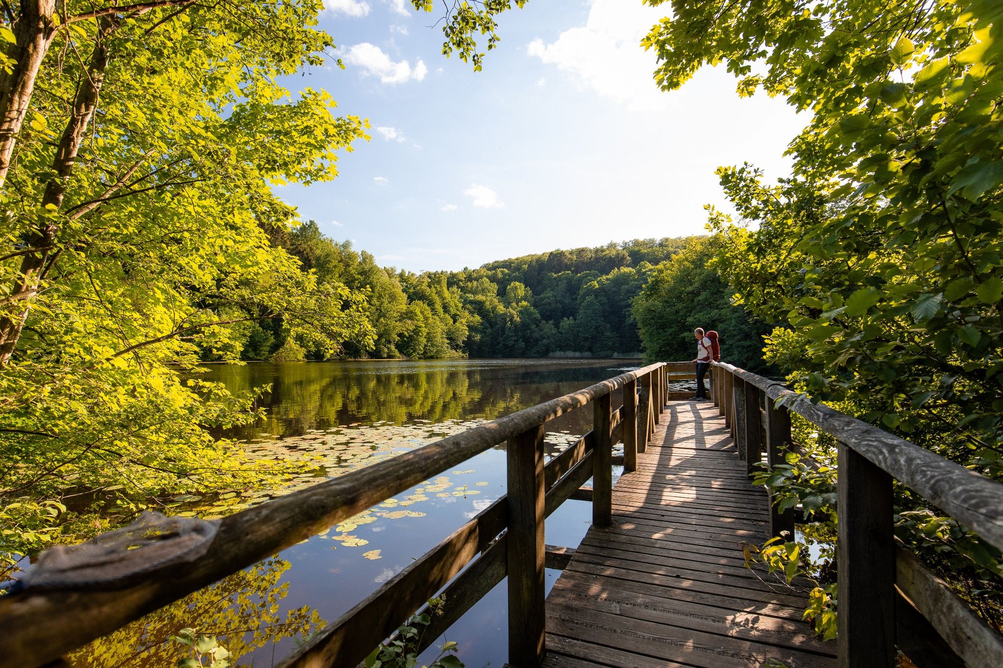
Time in the countryside – recharge your batteries in the Weserbergland
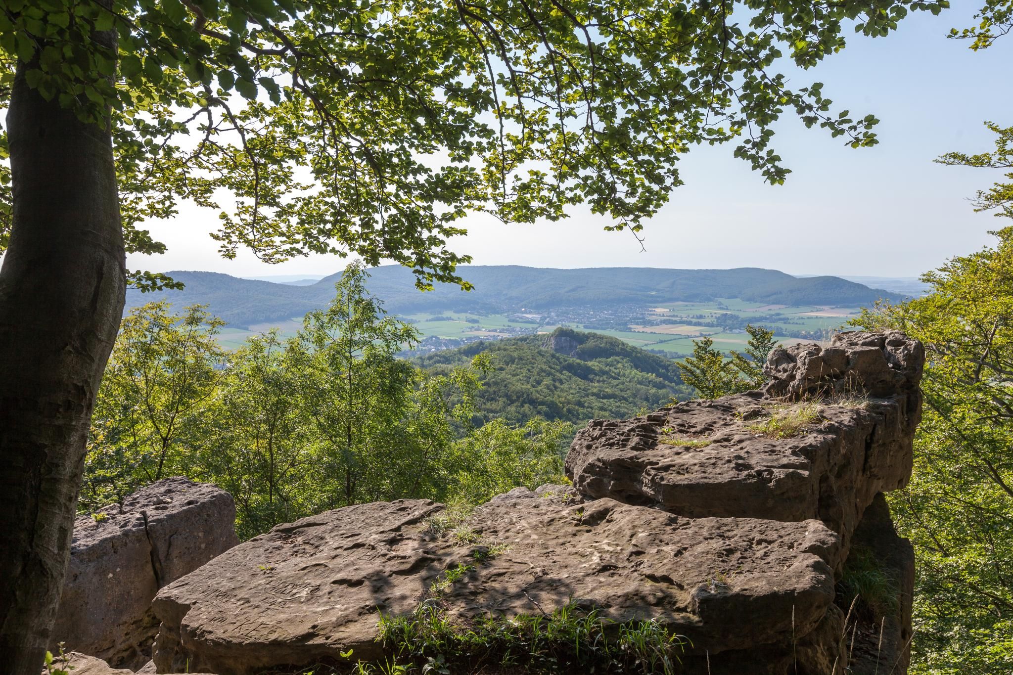
High up on cliffs and viewpoints in the Weserbergland region
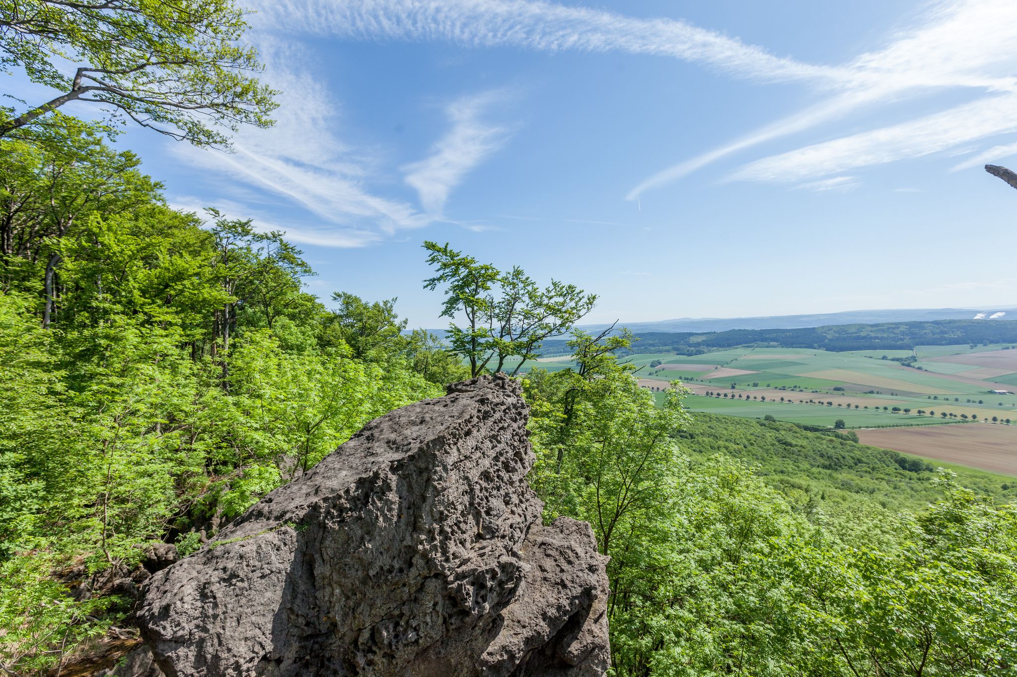
Bizarre cliffs and gentle valleys – Ith Hils Trail in Germany
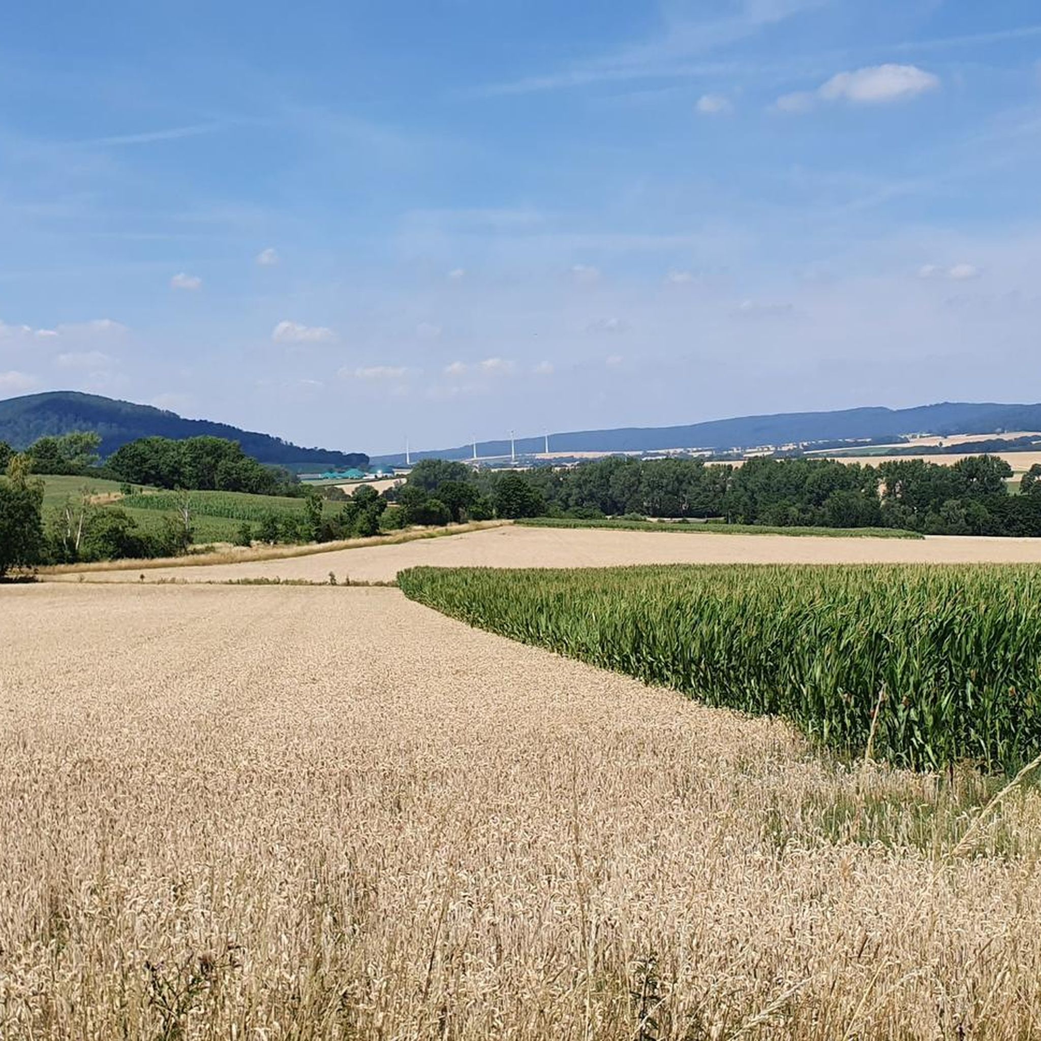
Hiking around Salzhemmendorf
Cycling around Salzhemmendorf
Road Cycling Routes around Salzhemmendorf
Running Trails around Salzhemmendorf
MTB Trails around Salzhemmendorf
Gravel biking around Salzhemmendorf
Other adventures around Salzhemmendorf

Tips from the Community

The 480 m high Bloße Zelle is the highest point of the Hils. An interesting place, but without a view due to afforestation.
8
0

Great view in the middle of the 555 square kilometer Solling-Vogler Nature Park. In the low mountain range, which consists primarily of red sandstone, there are around thirty mountains, eight of which are over four hundred meters high. The view from the Ebersnacken Tower is even more impressive.
0
0

It is inconspicuous, the highest point of the Hil, but richly "decorated" with the chic marking, the benches and the geodetic point. Unfortunately, there is no view here, but the way to the Wilhelm Raabe Tower on the Grosse Sole is not far.
4
0
The view from the Ebersnackenturm is great. Clear view in all directions. There are 126 steps to overcome beforehand.
15
1

Always nice, after a sometimes arduous climb, to enjoy the great view from the tower.
8
0

One of the most beautiful wooden towers far and wide, great view. The ascent to the tower is definitely worth it
4
0
There is a summit stone with information and seating for a rest.
5
0

At 480 m, the Mere Cell is the highest elevation in the Hils and Alfelder Bergland (Ith-Hils-Bergland). It lies on the border between the districts of Holzminden and Hildesheim, a good 4 km north-east of Eschershausen. With a dominance of 18 km and a prominence of about 235 m, Hils and Blöße are among the most sublime ridges and peaks in the Lower Saxony highlands. According to the imagination and specifications of the local population around 1654, witches - like on the Brocken in the Harz Mountains - should also hold their dances on the bare cell on Walpurgis Night. Source: https://de.wikipedia.org/wiki/Blo%C3%9Fe_Zelle
4
1
Frequently Asked Questions
What are some of the most popular mountain peaks to visit around Salzhemmendorf?
Visitors frequently enjoy the View from the Ith Tower, which offers panoramic views from the highest point of the Ith. Another favorite is the Ebersnacken Tower, known for its clear, all-directional views within the Solling-Vogler Nature Park. The Löns Tower on Thüster Berg is also highly rated, providing a 360-degree vista on clear days.
Are there family-friendly mountain peaks or viewpoints suitable for children?
Yes, both the Ebersnacken Tower and the Löns Tower on Thüster Berg are categorized as family-friendly. These locations offer accessible experiences for families looking to enjoy the views and nature together.
What kind of views can I expect from the mountain peaks in the region?
The mountain peaks around Salzhemmendorf, particularly those with observation towers, offer expansive panoramic views of the surrounding low mountain range landscape. From the Ith Tower, you can see the diverse forested hills. On clear days, the Löns Tower even provides distant views as far as the Brocken in the Harz Mountains and the Hermann Monument in the Teutoburg Forest.
What outdoor activities can I do near these mountain peaks?
Beyond exploring the peaks themselves, the region offers various outdoor activities. You can find numerous hiking trails, such as the 'Water tree trail' or routes exploring rock formations. For cyclists, there are options for gravel biking and road cycling. For detailed hiking routes, check out the Hiking around Salzhemmendorf guide.
When is the best time to visit the mountain peaks around Salzhemmendorf?
The mountain peaks are enjoyable throughout the year. Spring and autumn offer pleasant temperatures and vibrant natural colors, making them ideal for hiking. Summer provides longer daylight hours for extended exploration. Even in winter, with appropriate gear, the snow-covered landscapes can be quite scenic, though some paths might be more challenging.
Are there any challenging routes for experienced hikers among the peaks?
While many routes are intermediate, some sections and longer tours can offer a challenge. For instance, the Löns Tower on Thüster Berg is listed with a challenging category. The nearby hiking guide also features moderate to challenging routes, such as the 'Mönchstein rock formation – Adam and Eve Rock Formations loop'.
What makes the Bloße Zelle peak unique?
The Bloße Zelle is notable as the highest point in the Hils mountain range, reaching 480 meters. Although it doesn't offer expansive views directly from the summit, it's a significant geodetic point and is part of the long-distance hiking trail 'Netherlands-Harz-Weg E11'. Historically, local folklore even associated it with Walpurgis Night celebrations.
Can I find places to rest or have a picnic near the peaks?
Yes, several peaks offer amenities for visitors. Around the Ith Tower, you'll find picnic tables and a shelter. The Ebersnacken Tower also has facilities nearby. Additionally, from the Highest point in the Osterwald, you can reach the Sennhütte in about 20 minutes for a stop.
What is the highest point in the Osterwald, and what can I expect there?
The highest point in the Osterwald is known as 'The Fast,' reaching 419 meters above sea level. It's a pleasant spot to visit, offering a nice place to relax. From here, you can easily continue to the Sennhütte or the wood mill.
What do visitors appreciate most about the mountain peaks around Salzhemmendorf?
Visitors highly value the breathtaking panoramic views from the various observation towers, the well-maintained trails, and the opportunity to connect with nature. The renovation of the Ith Tower and the impressive 360-degree vistas from the Löns Tower are frequently praised. The overall experience of exploring a diverse low mountain range landscape is a major draw.
Are there any circular hiking routes that include these mountain peaks?
Yes, the region offers various circular hiking routes. For example, the 'View from the Ith Tower – Löns Tower on Thüster Berg loop' is a longer option for gravel biking, and many hiking routes in the area are designed as loops, allowing you to start and end at the same point. You can find more details in the Hiking around Salzhemmendorf guide.
Most popular routes around Salzhemmendorf
Most popular attractions around Salzhemmendorf

Get inspired with the komoot mobile app


Explore more
See even more amazing summits around Salzhemmendorf with these guides:
