The best cycling routes in Chachagüí
5.0
(127)
76
riders
3
rides
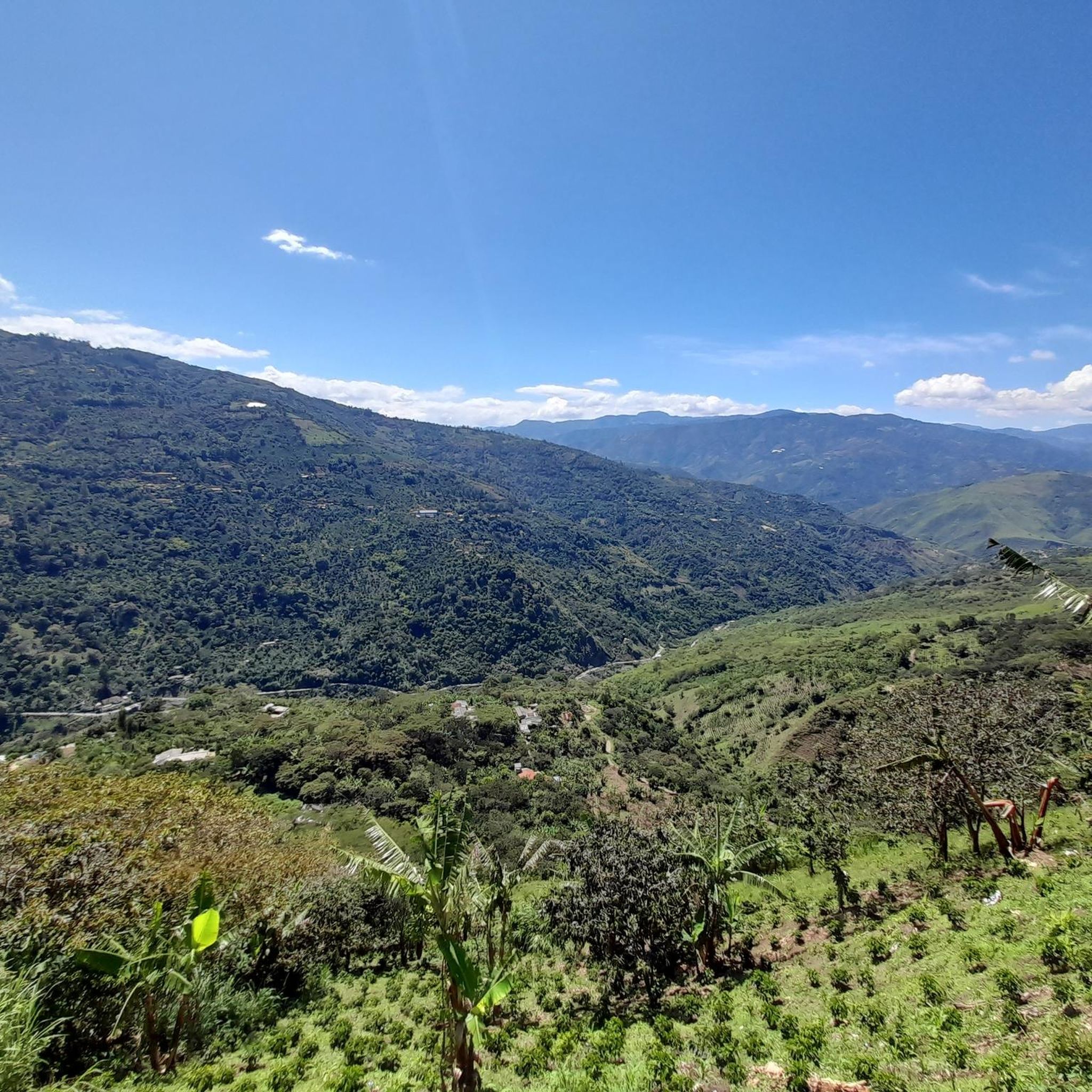
Touring cycling in Chachagüí offers routes through a mountainous landscape characterized by lush green mountains and blue rivers. Situated at an average altitude of 1,950 meters above sea level, the region benefits from a consistent temperate climate. Hydrological basins, including the Pasto, Juanambú, and Bermúdez rivers, contribute to native forests and diverse microclimates. This geography provides varied terrain for cycling, from challenging ascents to scenic descents.
Best touring cycling routes in Chachagüí
- The most popular touring cycling route is Tambo…
Last updated: June 27, 2026
4.9
(126)
54
riders
51.6km
04:03
1,310m
1,310m
Hard bike ride. Very good fitness required. Mostly paved surfaces. Suitable for all skill levels.
5.0
(1)
10
riders
122km
09:22
3,160m
3,160m
Hard bike ride. Very good fitness required. Mostly paved surfaces. Suitable for all skill levels.

Sign up for free
6
riders
38.3km
03:36
1,190m
1,190m
Hard bike ride. Very good fitness required. Mostly paved surfaces. Suitable for all skill levels.
4
riders
33.9km
02:45
950m
950m
Hard bike ride. Very good fitness required. Mostly paved surfaces. Suitable for all skill levels.
2
riders
42.4km
03:18
1,140m
1,140m
Hard bike ride. Very good fitness required. Mostly paved surfaces. Suitable for all skill levels.
Our route recommendations are based on thousands of hikes, rides, and runs completed by other people on komoot.
Start today with a free account
Your next adventure awaits.
Login or Signup
Popular around Chachagüí
Tips from the Community

Frequently Asked Questions
What is the general terrain and difficulty level for touring cycling in Chachagüí?
Touring cycling in Chachagüí is characterized by a mountainous landscape with lush green mountains and native forests. The routes often feature significant elevation changes, including challenging ascents and descents. All routes listed in this guide are rated as difficult, making them suitable for experienced cyclists seeking a demanding ride.
What kind of natural features and landmarks can I expect to see along the cycling routes in Chachagüí?
Chachagüí's routes offer diverse natural beauty, including extensive river systems like the Pasto, Juanambú, and Bermúdez, which feed vibrant native forests. You might encounter areas like La Tebaida, Rosa de los Andes, and El Común, known for their natural reserves. A notable natural wonder is the beautiful, though somewhat hidden, Cascada de Merlon (Merlon Waterfall). The region also features protected areas such as Loma Puerta del Páramo and the Matarredonda Community Natural Reserve, promoting ecotourism and biodiversity.
Are there any circular touring cycling routes available in Chachagüí?
Yes, Chachagüí offers several excellent circular routes. For instance, you can explore the Pine Tree Path – La Cruz Viewpoint loop from Antonio Narino Airport, which covers 33.9 km. Another option is the Chachatoy-Daza loop from Dorado, a 42.4 km route with significant elevation changes.
What is the best time of year to go touring cycling in Chachagüí?
Chachagüí enjoys a consistent temperate climate of around 20°C throughout the year, thanks to its average altitude of 1,950 meters above sea level. This makes it an ideal destination for touring cycling at any time, as extreme weather conditions are rare. You can plan your trip without significant seasonal concerns regarding temperature.
Are there any family-friendly touring cycling options in Chachagüí?
Given the mountainous terrain and the fact that all routes in this guide are rated as difficult with significant elevation gains, Chachagüí's touring cycling routes are generally more suited for experienced cyclists rather than families with young children or beginners. However, the region's natural reserves and recreational centers might offer other outdoor activities suitable for families.
What do other touring cyclists enjoy most about cycling in Chachagüí?
The area is highly rated by the komoot community, with an average score of 4.98 stars from over 100 reviews. Reviewers often praise the challenging mountainous geography, the lush green landscapes, and the rewarding ascents and descents that define the touring cycling experience in Chachagüí.
How long are the touring cycling routes in Chachagüí?
The touring cycling routes in Chachagüí vary in length. For example, the Daza loop from Pasto is 38.3 km long, while the Tambo – Mountain Biking Spot loop from Pasto covers 52.1 km. The longest route in this guide, Santabarbara (Las Tapias) – Tambo loop from Pasto, is an extensive 119.9 km.
Are there opportunities for ecotourism or wildlife viewing along the routes?
Yes, Chachagüí's rich biodiversity and native forests provide opportunities for ecotourism. Protected areas like Loma Puerta del Páramo and the Matarredonda Community Natural Reserve are actively promoted for ecotourism, offering chances to learn about local biodiversity and even participate in reforestation efforts. While cycling, you'll be immersed in these vibrant natural environments.
Are there any specific permits required for cycling on trails in Chachagüí?
The provided information does not indicate any specific permits required for general touring cycling on the routes in Chachagüí. However, if you plan to enter specific natural reserves or protected areas for activities beyond cycling, it's always advisable to check with local authorities or the reserve management for any entry requirements or fees.
What are the options for parking or public transport when accessing touring cycling routes in Chachagüí?
Many of the touring cycling routes in Chachagüí, such as the Tambo – Mountain Biking Spot loop from Pasto, start from nearby cities like Pasto. While specific parking information for each trailhead is not detailed, starting points in urban areas often have public transport connections or parking facilities. For routes originating from Antonio Narino Airport, parking would typically be available at the airport itself.
Can I find cafes or accommodation near the touring cycling routes in Chachagüí?
Chachagüí is a municipality with recreational centers and is located close to Pasto, a larger city. While specific cafes directly on the routes are not detailed, you can expect to find amenities, including cafes and accommodation, in Chachagüí town and especially in Pasto, which serves as a common starting point for many tours. It's advisable to plan your stops for refreshments and lodging in these population centers.
Most popular routes in Chachagüí

Get inspired with the komoot mobile app


Explore more
Browse the best Cycling routes in other regions.
