The best road cycling routes in Chachagüí
4.7
(57)
238
riders
3
rides
Road cycling in Chachagüí, located in Colombia's Nariño Department, offers diverse terrain characterized by significant elevation changes and high altitudes. The region features a mountainous landscape with routes that include substantial climbs. While predominantly paved, some segments may present varied riding surfaces, providing a range of experiences for cyclists.
Best road cycling routes in Chachagüí
- The most popular road cycling route is San Francisco de Asís Church – Alto de la Coba Negra loop from Dollar City Panamericana, a…
Last updated: June 29, 2026
4.9
(22)
46
riders
66.4km
04:05
1,770m
1,770m
Hard road ride. Very good fitness required. Mostly well-paved surfaces and easy to ride.
5.0
(7)
26
riders
62.3km
03:51
1,710m
1,710m
Hard road ride. Very good fitness required. Mostly well-paved surfaces and easy to ride.

Sign up for free
4.7
(7)
25
riders
48.7km
02:51
1,180m
1,180m
Hard road ride. Very good fitness required. Mostly well-paved surfaces and easy to ride.
5.0
(3)
21
riders
110km
06:48
3,040m
3,030m
Hard road ride. Very good fitness required. Mostly well-paved surfaces and easy to ride.
13
riders
26.9km
01:38
630m
630m
Moderate road ride. Good fitness required. Mostly well-paved surfaces and easy to ride.
Our route recommendations are based on thousands of hikes, rides, and runs completed by other people on komoot.
Start today with a free account
Your next adventure awaits.
Login or Signup
Popular around Chachagüí
Tips from the Community

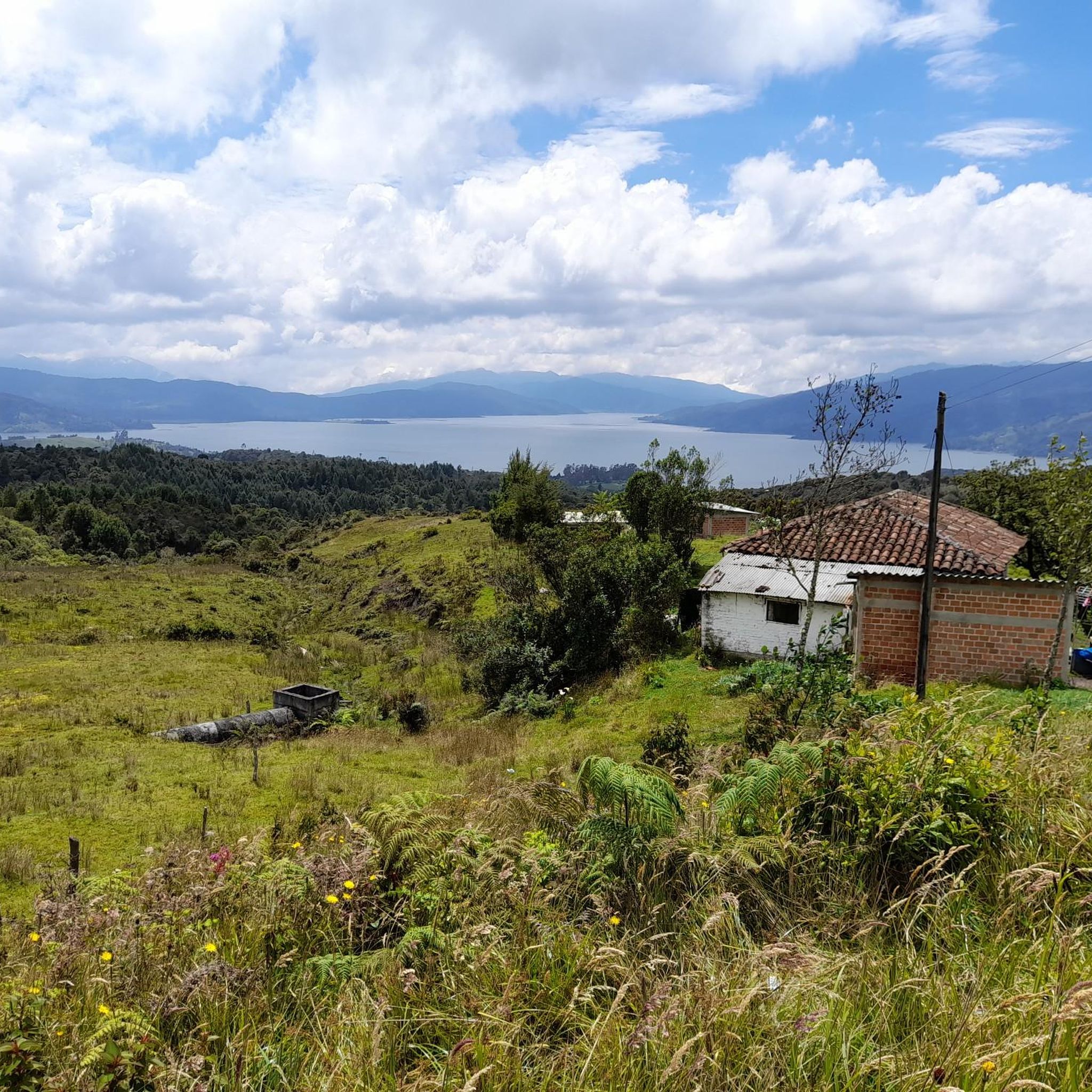
Beautiful view from the Juanambú bridge. If you go by bike, take enough hydration for the return.
0
0


stop for a delicious red wine👌
0
0

15 km uphill Pasto-la coba negra
0
0
Frequently Asked Questions
What is the typical difficulty level for road cycling routes in Chachagüí?
Road cycling in Chachagüí is characterized by significant elevation changes and high altitudes, making many routes challenging. While there are options for different ability levels, the majority of routes, such as the San Francisco de Asís Church – Alto de la Coba Negra loop, are rated as difficult due to substantial climbs.
What kind of terrain and road conditions can I expect on Chachagüí's road cycling routes?
You can expect a mountainous landscape with routes that feature considerable elevation gains. While most routes are predominantly paved, some segments may include unpaved sections, offering a varied riding experience. The high altitudes mean you'll often be cycling at elevations up to 3,200 meters.
What are the typical distances and durations for road cycling routes in Chachagüí?
Routes in Chachagüí generally range from 40 to 100 kilometers in distance. For example, the Éxito Obonuco – San Francisco de Asís Church loop is 67.1 km, while the San Francisco de Asís Church – Juanambú Bridge loop extends to 110.3 km. Durations vary significantly based on distance and elevation, with longer routes taking over 7 hours.
When is the best time of year to go road cycling in Chachagüí?
The region's climate is influenced by its high altitude. While specific best months are not detailed, generally, dry seasons offer more predictable weather for cycling. It's advisable to check local weather patterns closer to your planned visit, as conditions can change rapidly in mountainous areas.
Are there family-friendly or dog-friendly road cycling routes in Chachagüí?
Given the significant elevation changes and challenging nature of most routes in Chachagüí, dedicated family-friendly or dog-friendly road cycling routes are not explicitly highlighted. Many routes demand very good fitness. For family outings, consider shorter, less strenuous sections if available, or look for alternative activities.
What do other road cyclists enjoy most about road cycling in Chachagüí?
The komoot community highly rates the road cycling experience in Chachagüí, with an average score of 4.8 stars from over 50 reviews. Cyclists often praise the challenging climbs, panoramic views, and the diverse terrain that provides a rewarding experience for experienced riders.
Are there any circular road cycling routes available in Chachagüí?
Yes, many of the popular road cycling routes in Chachagüí are designed as loops. Examples include the challenging San Francisco de Asís Church – Alto de la Coba Negra loop and the Éxito Obonuco – Daza loop, which allow you to start and finish at the same point.
Where can I find parking for road cycling routes in Chachagüí?
While specific dedicated cyclist parking facilities are not detailed, many routes, such as those starting from Dollar City Panamericana or Pasto, originate near urban areas where general parking options may be available. It is recommended to research parking availability at your chosen starting point before your ride.
Are there any specific landmarks or viewpoints along the road cycling routes in Chachagüí?
The mountainous landscape of Chachagüí naturally offers numerous scenic backdrops and potential viewpoints along its routes. While specific named landmarks are not provided, routes like the Alto de La Coba Negra loop traverse high-altitude areas, suggesting opportunities for panoramic views of the Nariño Department.
How many road cycling routes are available in Chachagüí on komoot?
There are several road cycling routes detailed on komoot for Chachagüí, with a total of 3 featured in this guide. These routes have been explored by over 200 road cyclists from the komoot community.
What is the longest road cycling route in Chachagüí?
The longest route featured is the San Francisco de Asís Church – Alto de la Coba Negra loop from Dollar City Panamericana, which covers 117.3 km and includes over 3,100 meters of elevation gain.
Are there any road cycling routes that start directly in Chachagüí?
While many routes are accessible from nearby larger towns like Pasto or Dollar City Panamericana, the region's network allows for various starting points. You can plan your route to begin directly within Chachagüí, utilizing the local road network to connect to the broader cycling paths.
Most popular routes in Chachagüí

Get inspired with the komoot mobile app


Explore more
Browse the best Road cycling routes in other regions.
