The best MTB trails in Villapinzón
4.7
(7)
63
riders
8
rides
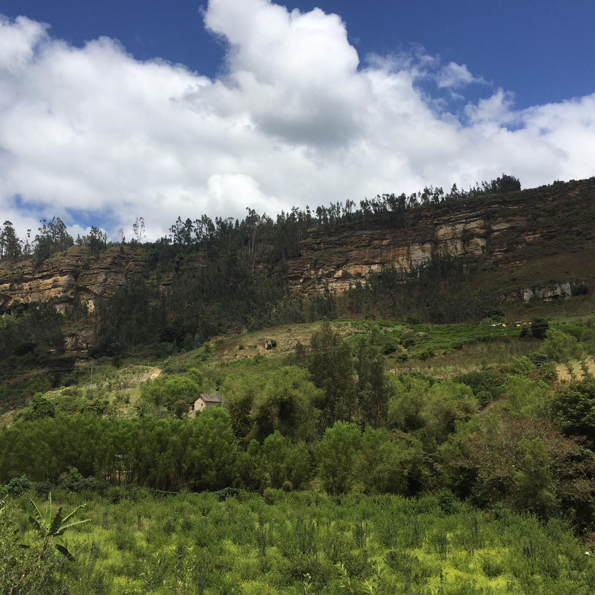
Mountain biking in Villapinzón offers diverse terrain across the Cundiboyacense Altiplano, characterized by Andean scenery and rural dirt roads. The region features mountains and high-altitude areas, with the municipal seat situated over 2,700 meters above sea level. This landscape provides varied opportunities for mountain biking, from moderate paths to more challenging routes.
Best mountain bike trails in Villapinzón
- The most popular mountain bike trail is Sisga Reservoir – Sisga Reservoir loop from Chocontá, a 25.9 miles (41.7 km) trail…
Last updated: June 28, 2026
5.0
(5)
42
riders
41.8km
03:22
640m
640m
Moderate mountain bike ride. Good fitness required. Suitable for all skill levels.
4.0
(1)
7
riders
53.8km
03:50
1,050m
1,050m
Hard mountain bike ride. Very good fitness required. Suitable for all skill levels.

Sign up for free
5.0
(1)
2
riders
21.0km
01:35
360m
360m
Moderate mountain bike ride. Good fitness required. Suitable for all skill levels.
4
riders
35.8km
02:57
1,010m
1,010m
Hard mountain bike ride. Very good fitness required. Suitable for all skill levels.
3
riders
26.5km
01:57
500m
500m
Moderate mountain bike ride. Good fitness required. Suitable for all skill levels.
Get access to more routes and recommendations from other explorers.
Sign up for free
Already have an account?
Our route recommendations are based on thousands of hikes, rides, and runs completed by other people on komoot.
Start today with a free account
Your next adventure awaits.
Login or Signup
Popular around Villapinzón
Tips from the Community

A beautiful spot to listen to the babbling of the river.
0
0

Beautiful view and a reward for those of us who managed to get there.
0
0

Go very early to do this additional route
0
0
Go very early and take snacks for the road
0
0

Take good photos, a lot of tourist in the area.
0
0

The Sisga bridge, whether by road bike or MTB, this will be a mandatory stop for the photo. You can continue north via Tunja, you can go around the dam (highly recommended path) or you can take east to go down to Machetá.
0
0
perfect place to take a break after climbing Macheta or El Sisga. Food and hot drinks with AREPA. recommended!!
0
0

you expect many sellers around while you rest. You arrive to that bridge after a long and fast downhill.
0
0
Frequently Asked Questions
What is the overall difficulty level of mountain bike trails in Villapinzón?
Villapinzón offers a mix of mountain bike trails. Out of the 8 available routes, 5 are classified as moderate, and 3 are considered difficult. This variety ensures options for riders with different fitness levels and technical skills.
How many mountain bike trails are available in Villapinzón?
There are 8 mountain bike trails documented in Villapinzón, providing diverse options for exploring the region's Andean scenery and rural landscapes.
Are there any challenging mountain bike routes for experienced riders in Villapinzón?
Yes, for experienced riders seeking a challenge, Villapinzón offers several difficult routes. One such option is The Volcanoes – Sisga Reservoir loop from Chocontá, a 55.4 km route with over 1,100m of elevation gain, requiring very good fitness.
Can I find circular mountain bike routes in Villapinzón?
Many of the mountain bike routes in Villapinzón are designed as loops, allowing you to start and finish in the same location. Examples include the Sisga Reservoir – Sisga Reservoir loop from Chocontá and the Chocontá – Endless Meadows loop from Chocontá.
What kind of scenery can I expect on mountain bike trails in Villapinzón?
Mountain biking in Villapinzón takes you through stunning Andean scenery, characterized by mountains, high-altitude areas, and rural dirt roads across the Cundiboyacense Altiplano. You can expect panoramic views, especially from points like the Mirador de la Princesa.
Are there any significant natural landmarks to see while mountain biking in Villapinzón?
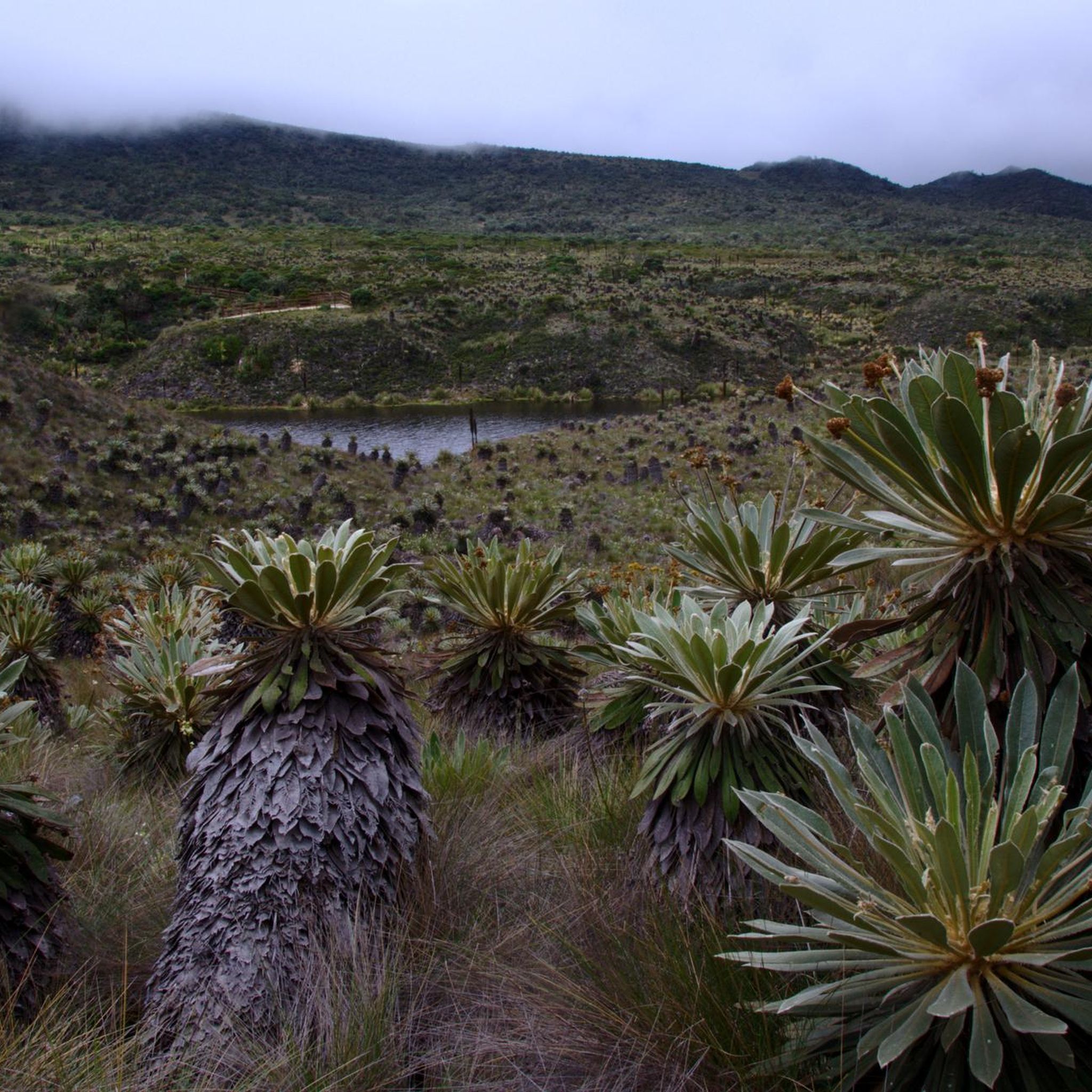
Yes, the region is home to the vital Páramo de Guacheneque, known as the birthplace of the Bogotá River. While some trails might pass near its periphery, the páramo itself is a pristine ecosystem with frailejones, lagoons, and endemic birds, offering a unique natural experience.
What do other mountain bikers enjoy the most about mountain biking in Villapinzón?
The mountain bike routes in Villapinzón are highly rated by the komoot community, with an average score of 4.7 stars. Riders often praise the varied terrain, the beautiful Andean landscapes, and the opportunities for challenging rides through rural areas.
Are there any shorter, moderate mountain bike routes suitable for a quicker ride?
Yes, if you're looking for a shorter, moderate ride, consider The Best Strawberries – Bogotá River loop from Chocontá. This 21.0 km trail leads through rural areas and can typically be completed in about 1 hour 35 minutes.
What is the best time of year for mountain biking in Villapinzón?
Villapinzón's location in the Cundiboyacense Altiplano means a cool climate year-round due to its high altitude (over 2,700 meters above sea level). While specific seasonal recommendations for mountain biking aren't provided, generally, the drier months would offer more favorable trail conditions, though the region can experience rain at any time.
Are there any mountain bike routes that offer a mix of moderate and challenging sections?
Routes like the Chocontá – The Volcanoes loop from Chocontá, classified as difficult, often incorporate varied terrain that can include both less demanding stretches and significant ascents, providing a dynamic riding experience.
What kind of terrain should I expect on the mountain bike trails?
The trails in Villapinzón primarily consist of rural dirt roads and mountainous paths. Some routes are described as traversing rough terrain, and conditions can sometimes require a mountain bike due to poor track quality, adding to the adventure.
Most popular routes in Villapinzón

Get inspired with the komoot mobile app


Explore more
Browse the best MTB trails in other regions.
