The best road cycling routes in La Calera
4.7
(269)
10,142
riders
41
rides
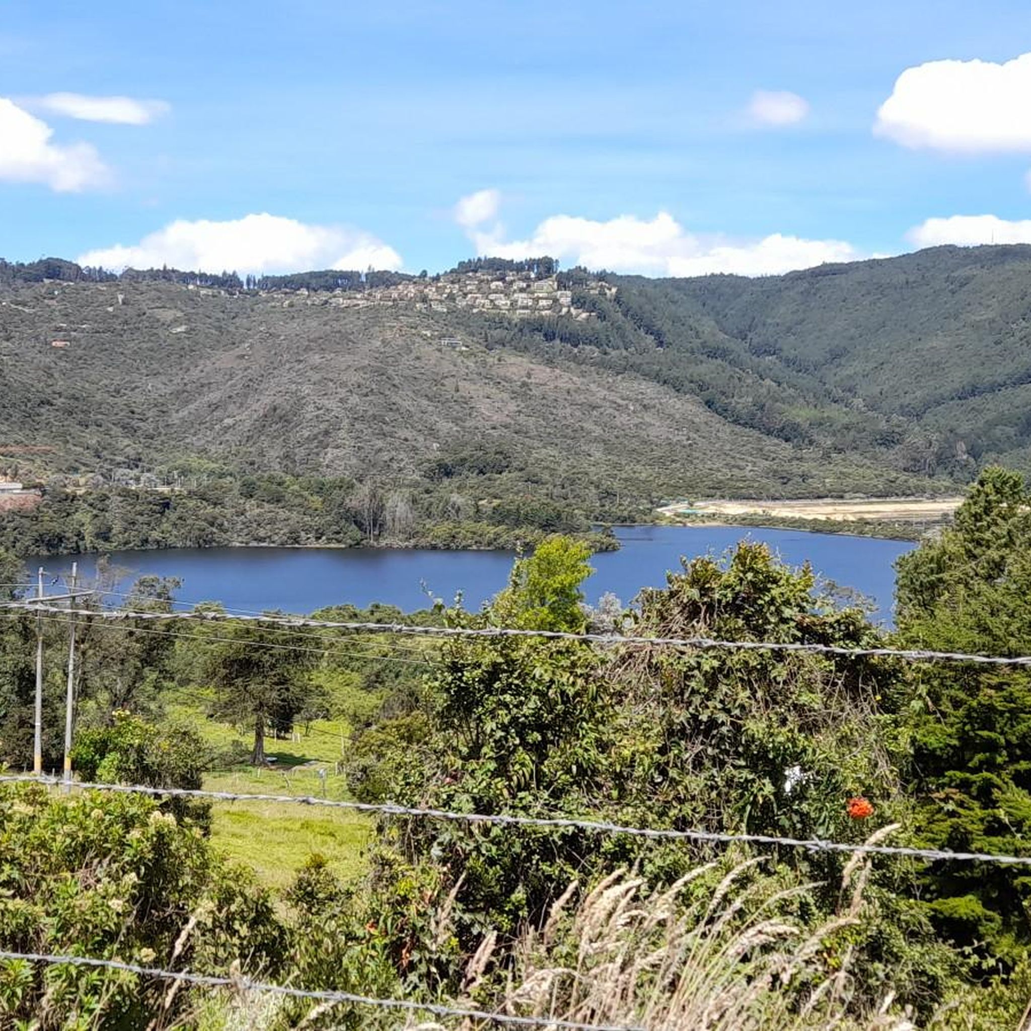
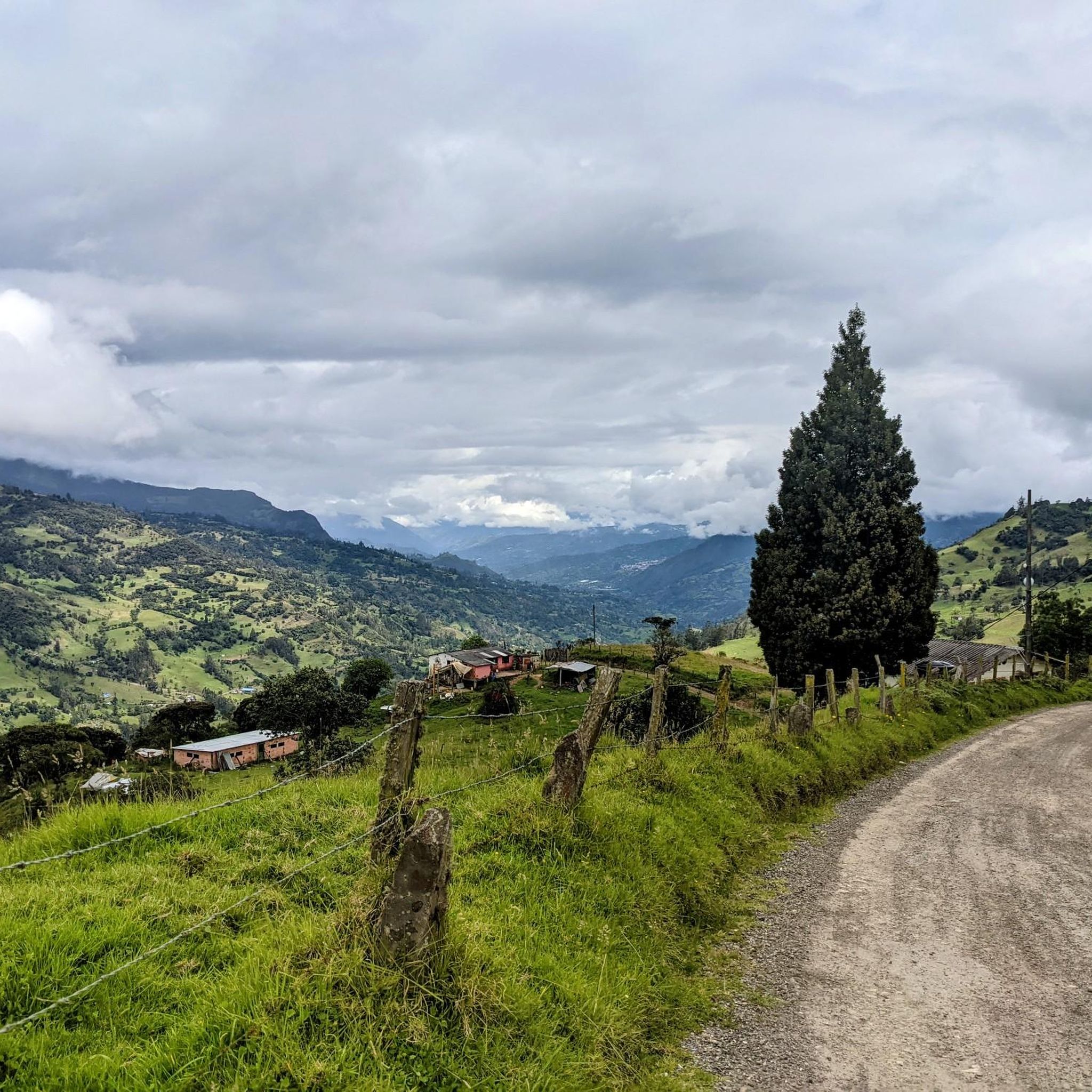
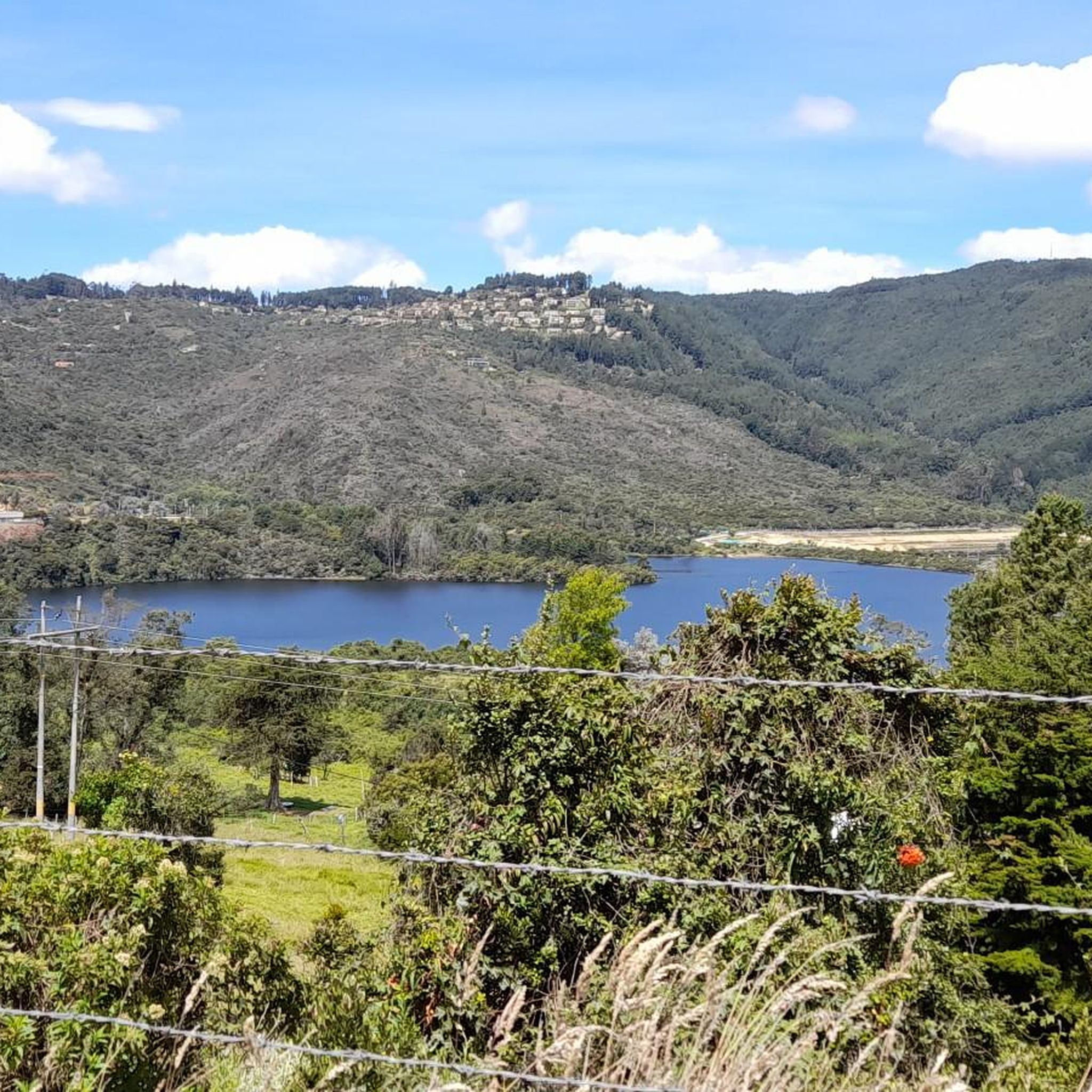
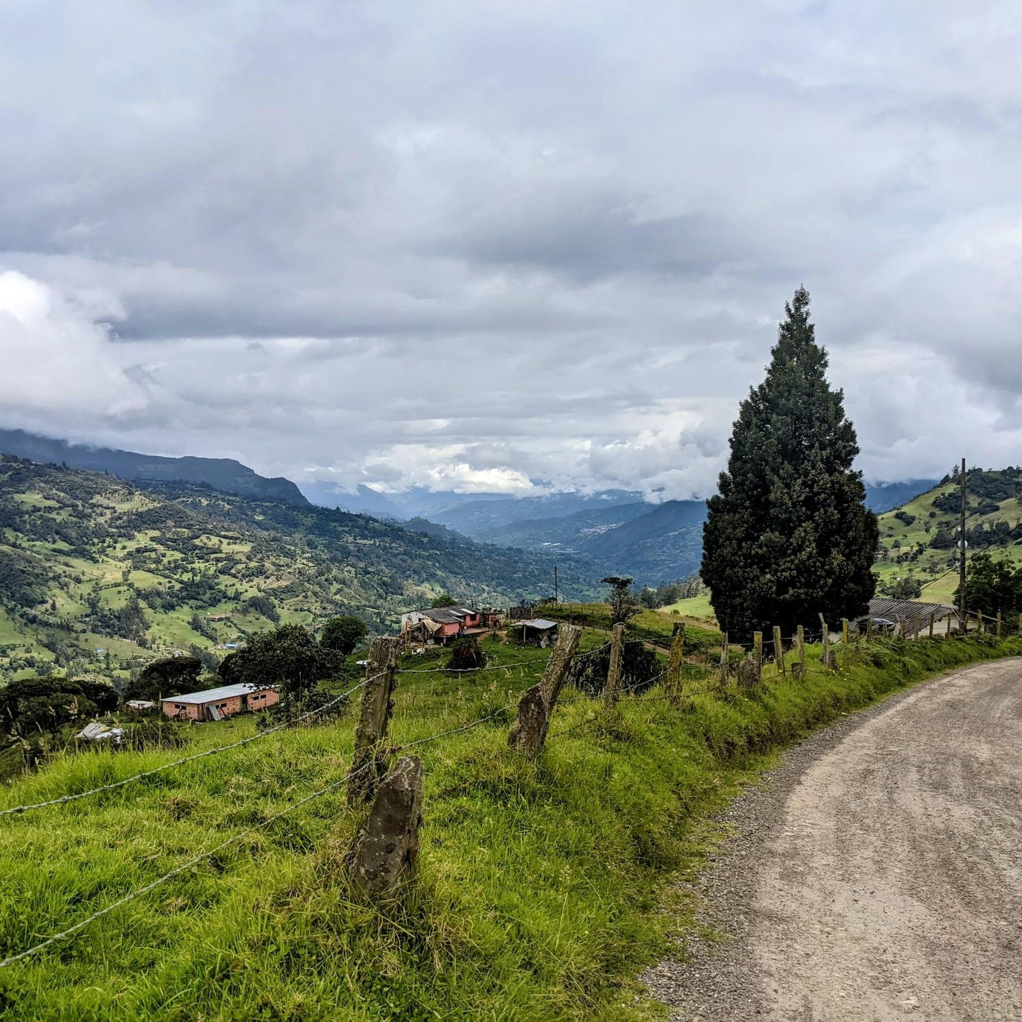
Road cycling routes in La Calera are situated within the mountainous terrain of the Eastern Andes Mountain Range in Cundinamarca, Colombia. The region is characterized by a rugged topography of valleys, hills, and significant elevations, including the Cruz Verde ridge. Cyclists encounter challenging ascents and substantial elevation gains across diverse landscapes, from high Andean forests to areas offering panoramic views. This environment provides varied road cycling experiences for different fitness levels.
Best road cycling routes in La Calera
- The most popular road cycling route is View of Bogotá from Patios – Patios Summit loop from Salitre, a 50.8 miles (81.7 km) trail that takes 3 hours 45 minutes to complete. This moderate route features significant elevation gain and panoramic views of Bogotá.
- Another top favourite among local road cyclists is Alto de La Cuchilla – Alto de la Cuchilla loop from Floresta de la Sabana, a difficult 37.0 miles (59.5 km) path. This route traverses challenging mountainous terrain with substantial ascents.
- Local road cyclists also love the El Gallo Parking Lot – Alto del Águila loop from Rancho La María, a 57.5 miles (92.5 km) trail leading through varied landscapes, often completed in about 4 hours 34 minutes.
- Road cycling in La Calera is defined by mountainous terrain, significant elevation gains, and high Andean forest sections. The network offers options for different ability levels, from moderate to difficult.
- The routes in La Calera are highly rated by the komoot community with an average score of 4.7 stars from over 280 reviews. More than 10,000 road cyclists have used komoot to explore La Calera's varied terrain.
Last updated: July 1, 2026
4.8
(53)
1,677
riders
81.7km
03:45
810m
810m
Moderate road ride. Good fitness required. Mostly well-paved surfaces and easy to ride.
5.0
(3)
365
riders
59.5km
03:17
1,160m
1,160m
Hard road ride. Very good fitness required. Some segments of this route may be unpaved and difficult to ride.

Sign up for free
225
riders
102km
05:15
1,360m
1,360m
Hard road ride. Very good fitness required. Some segments of this route may be unpaved and difficult to ride.
5.0
(4)
311
riders
48.1km
02:42
1,050m
1,050m
Hard road ride. Very good fitness required. Mostly well-paved surfaces and easy to ride.
4.6
(19)
205
riders
20.9km
00:56
160m
160m
Easy road ride. Great for any fitness level. Mostly well-paved surfaces and easy to ride.
Get access to more routes and recommendations from other explorers.
Sign up for free
Already have an account?
Our route recommendations are based on thousands of hikes, rides, and runs completed by other people on komoot.
Start today with a free account
Your next adventure awaits.
Login or Signup

Other adventures in La Calera

Tips from the Community

The Torre Colpatria is one of Colombia's best-known skyscrapers and features a popular observation deck (Mirador) on the 48th floor. The Mirador is usually open to the public only on weekends and holidays: Fridays: 5:00 PM – 9:00 PM Saturdays: 12:00 PM – 9:00 PM Sundays & Holidays: 11:00 AM – 6:00 PM
0
0

Alto de los Patios offers countless dining options to enjoy Bogotá's sporting atmosphere. The area is usually very busy.
1
0

Beautiful scenery and medium difficulty. For gravel or mountain biking.
0
0


It is a road with a lot of vehicular flow, be careful!!! up there many places to have breakfast
1
0

Excellent climbing, recommended for Saturdays first thing in the morning.
0
0
Excellent route, for cyclists with some experience and moderate level.
0
0

Super exit, it can be by the Highway and return by Sesquilé (smoother) or by Patios round trip. And throughout the tour, many places for photos, coffee and snacks. Leaving strength if you return through Patios to climb Teusacá (almost 3 km at 7% average).
0
0
Frequently Asked Questions
How many road cycling routes are available in La Calera?
La Calera offers a diverse network of over 40 road cycling routes. These routes cater to various fitness levels, ranging from moderate to very difficult, and are highly rated by the komoot community.
What kind of terrain can I expect on road cycling routes in La Calera?
You can expect challenging mountainous terrain with significant elevation gains, as La Calera is nestled in the Eastern Andes Mountain Range. Routes traverse valleys, hills, and high Andean forests, offering diverse landscapes and panoramic views. Some segments may be unpaved, adding to the challenge.
Are there road cycling routes suitable for beginners in La Calera?
While La Calera is known for its challenging topography, there are 10 routes classified as easy. For those looking to build endurance, routes like View of Bogotá from Patios – Patios Summit loop from Salitre offer a moderate challenge with significant elevation gain, making them a good stepping stone.
Are there challenging road cycling routes for experienced riders in La Calera?
Absolutely. La Calera is a prime destination for experienced cyclists, with 19 routes classified as difficult. Routes such as Alto de La Cuchilla – Alto de la Cuchilla loop from Floresta de la Sabana and Salitre–Guasquita Climb – View of Tominé Reservoir loop from La Calera feature substantial ascents and demanding distances, requiring very good fitness.
Are there any circular road cycling routes in La Calera?
Yes, many of the popular road cycling routes in La Calera are loops, allowing you to start and end at the same point. Examples include the El Gallo Parking Lot – Alto del Águila loop from Rancho La María, which covers 92.5 km through varied landscapes, and the longer Alto de la Cuchilla – Alto de La Cuchilla loop from Salitre.
What scenic viewpoints can I find along road cycling routes in La Calera?
La Calera offers numerous stunning viewpoints. Cyclists can enjoy panoramic vistas of Bogotá from Patios Summit. Other notable spots include Cerro de Guadalupe and the various scenic lookouts along the 'Forests of Songs and Orchids' Ecological Trail.
Are there any natural attractions or landmarks to explore near the cycling routes?
Beyond cycling, La Calera is rich in natural beauty. You can explore the unique 'Paramo' ecosystem of Chingaza National Natural Park, offering mist-covered mountains and crystal-clear lagoons. The San Rafael Reservoir provides breathtaking views, and the 'Forests of Songs and Orchids' Ecological Trail is home to unique flora, hummingbirds, and the 'Calm Waterfall'.
What is the best time of year for road cycling in La Calera?
Due to its high altitude and mountainous climate, La Calera generally offers pleasant conditions for cycling year-round, though weather can be variable. It's always advisable to check local forecasts, especially for rain, which can make some unpaved segments more challenging.
What are the typical weather conditions for road cycling in La Calera?
La Calera experiences a high-altitude mountain climate. Temperatures can vary, often being cooler than Bogotá, especially at higher elevations. Expect potential for mist, cloud cover, and occasional rain showers, even during drier periods. Sunny spells are common, but conditions can change quickly.
What do other road cyclists enjoy most about cycling in La Calera?
The road cycling routes in La Calera are highly rated by the komoot community, with an average score of 4.7 stars from over 280 reviews. Cyclists frequently praise the challenging ascents, the stunning panoramic views of Bogotá and the surrounding Andes, and the diverse natural landscapes encountered along the way.
Are there places to stop for refreshments or coffee along the routes?
Yes, La Calera is a popular cycling destination, and you'll find various cafes and small eateries, particularly in and around the town of La Calera itself and along well-trafficked routes like the climb to Patios Summit. These spots are perfect for a coffee break or a quick snack.
Is it possible to observe wildlife, especially birds, while cycling in La Calera?
Yes, La Calera is a fantastic area for wildlife observation, particularly birds. The 'Forests of Songs and Orchids' Ecological Trail is known as a paradise for birdwatching, with hummingbirds, thrushes, and kites. Specific locations in the mountains also offer opportunities to observe vibrant hummingbirds.
Most popular attractions in La Calera

Get inspired with the komoot mobile app


Explore more
Browse the best Road cycling routes in other regions.
