The best walks and hikes in La Calera
4.8
(117)
1,813
hikers
23
hikes
Hiking in La Calera offers access to diverse natural landscapes, including high Andean forests and páramo ecosystems. The region is characterized by mist-covered mountains, numerous lagoons, and the San Rafael Reservoir. Trails often feature varied terrain, leading through hills and past waterfalls, with many routes providing panoramic viewpoints of Bogotá and the surrounding countryside.
Best hiking trails in La Calera
- The most popular hiking route is Cerro de Monserrate desde Bogotá — circular, a 3.4 miles (5.4 km) trail that takes 2 hours 22 minutes to complete. This moderate route offers panoramic views of Bogotá.
- Another top favourite among local hikers is Sendero Horizontes - Las Moyas — ida y vuelta desde Bogotá, a moderate 3.5 miles (5.6 km) path. This trail leads through high Andean forest, providing varied scenery.
- Local hikers also love the Quebrada La Vieja Trail, a 3.4 miles (5.4 km) trail leading through varied terrain, often completed in about 1 hour 55 minutes.
- Hiking in La Calera is defined by páramo ecosystems, high Andean forests, and scenic viewpoints. The network offers options for easy, moderate, and difficult trails.
- The routes in La Calera are highly rated by the komoot community with an average score of 4.8 stars from over 100 reviews. More than 1,600 hikers have used komoot to explore La Calera's varied terrain.
Last updated: June 23, 2026
4.8
(68)
1,104
hikers
5.41km
02:22
490m
490m
Moderate hike. Good fitness required. Easily-accessible paths. Suitable for all skill levels.
4.7
(6)
186
hikers
5.59km
02:26
520m
520m
Moderate hike. Good fitness required. Easily-accessible paths. Suitable for all skill levels.

Sign up for free
4.6
(7)
131
hikers
5.45km
01:55
320m
320m
Moderate hike. Good fitness required. Easily-accessible paths. Suitable for all skill levels.
5.0
(7)
90
hikers
Moderate hike. Good fitness required. Easily-accessible paths. Suitable for all skill levels.
4.0
(1)
38
hikers
6.61km
02:31
440m
440m
Moderate hike. Good fitness required. Easily-accessible paths. Suitable for all skill levels.
Get access to more routes and recommendations from other explorers.
Sign up for free
Already have an account?
Our route recommendations are based on thousands of hikes, rides, and runs completed by other people on komoot.
Start today with a free account
Your next adventure awaits.
Login or Signup

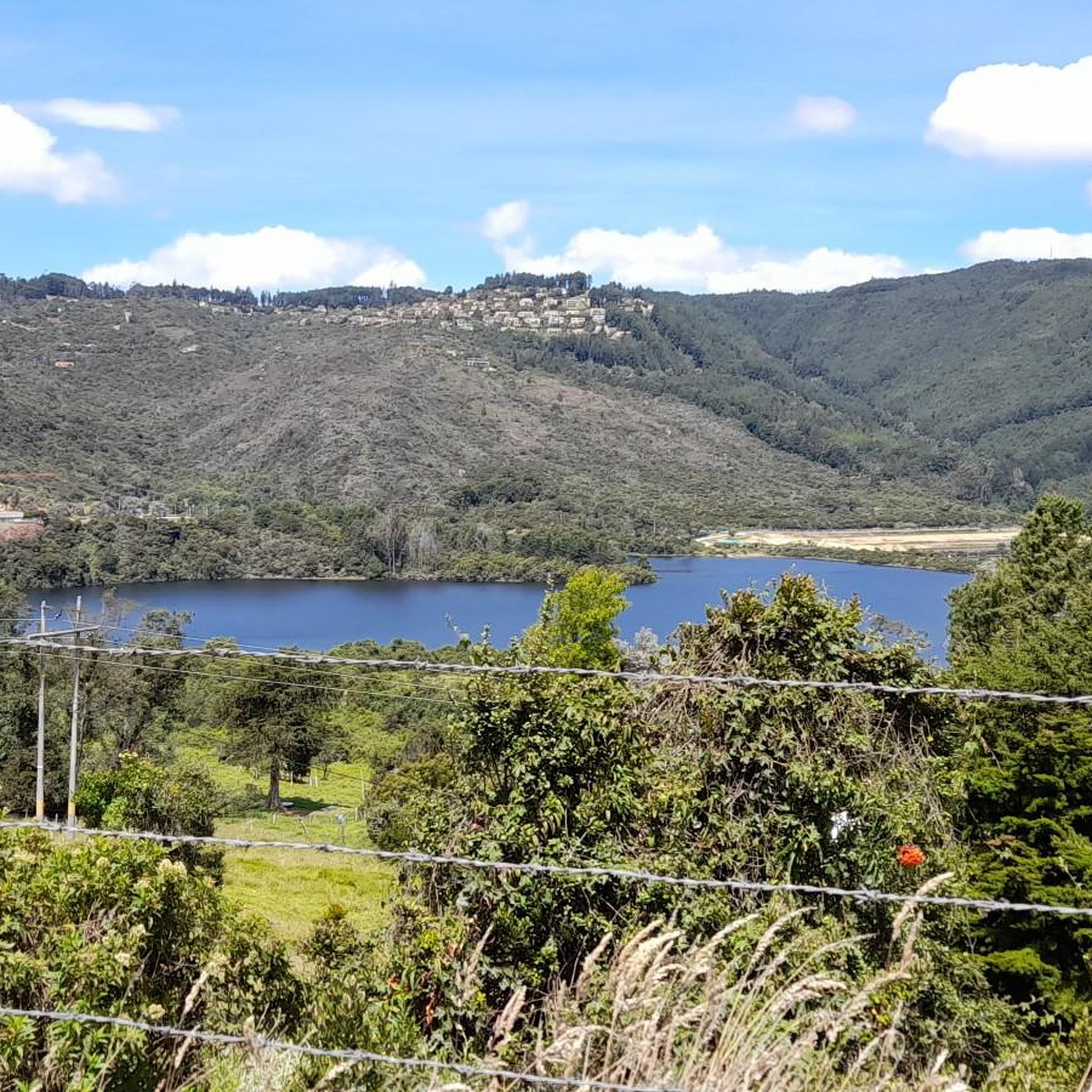
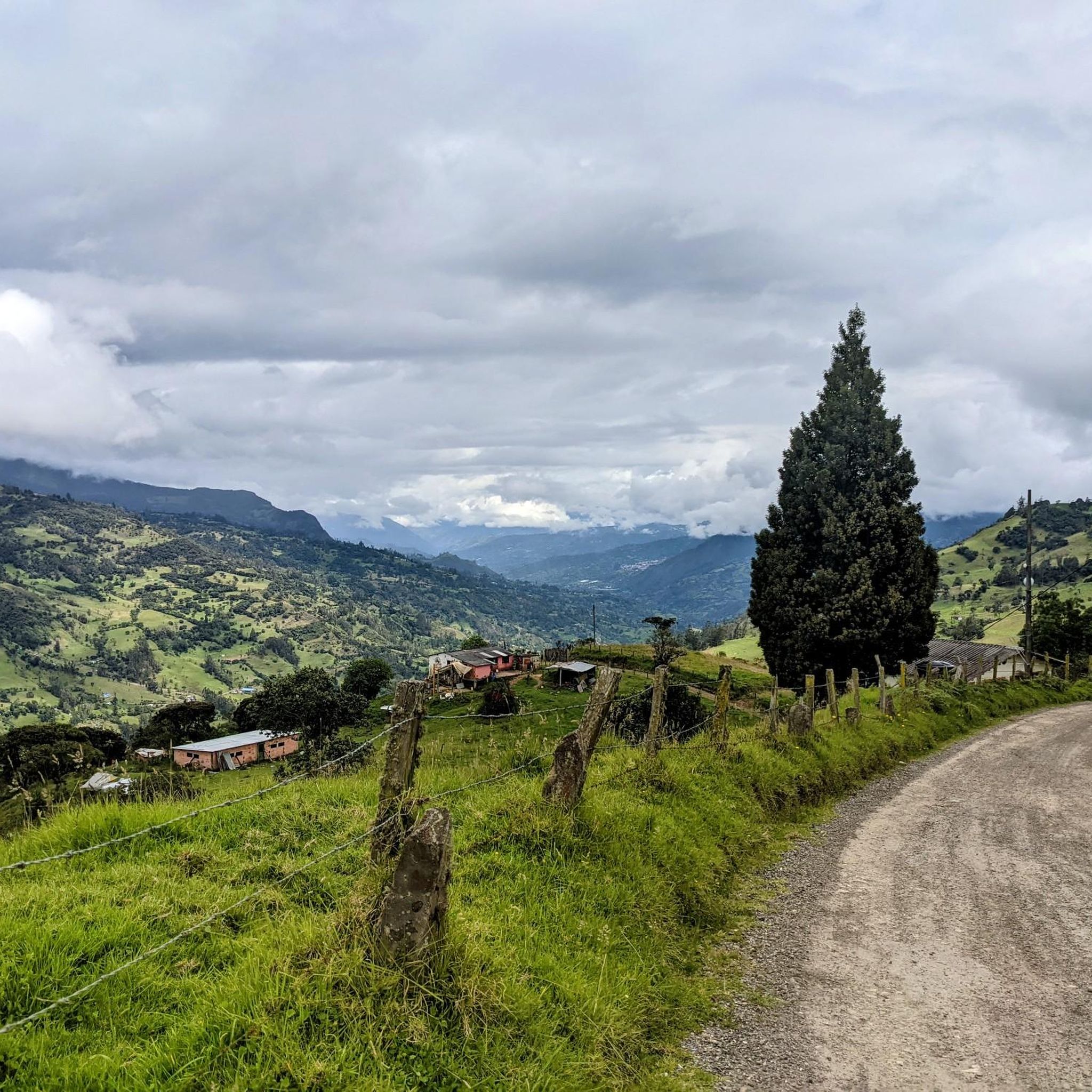
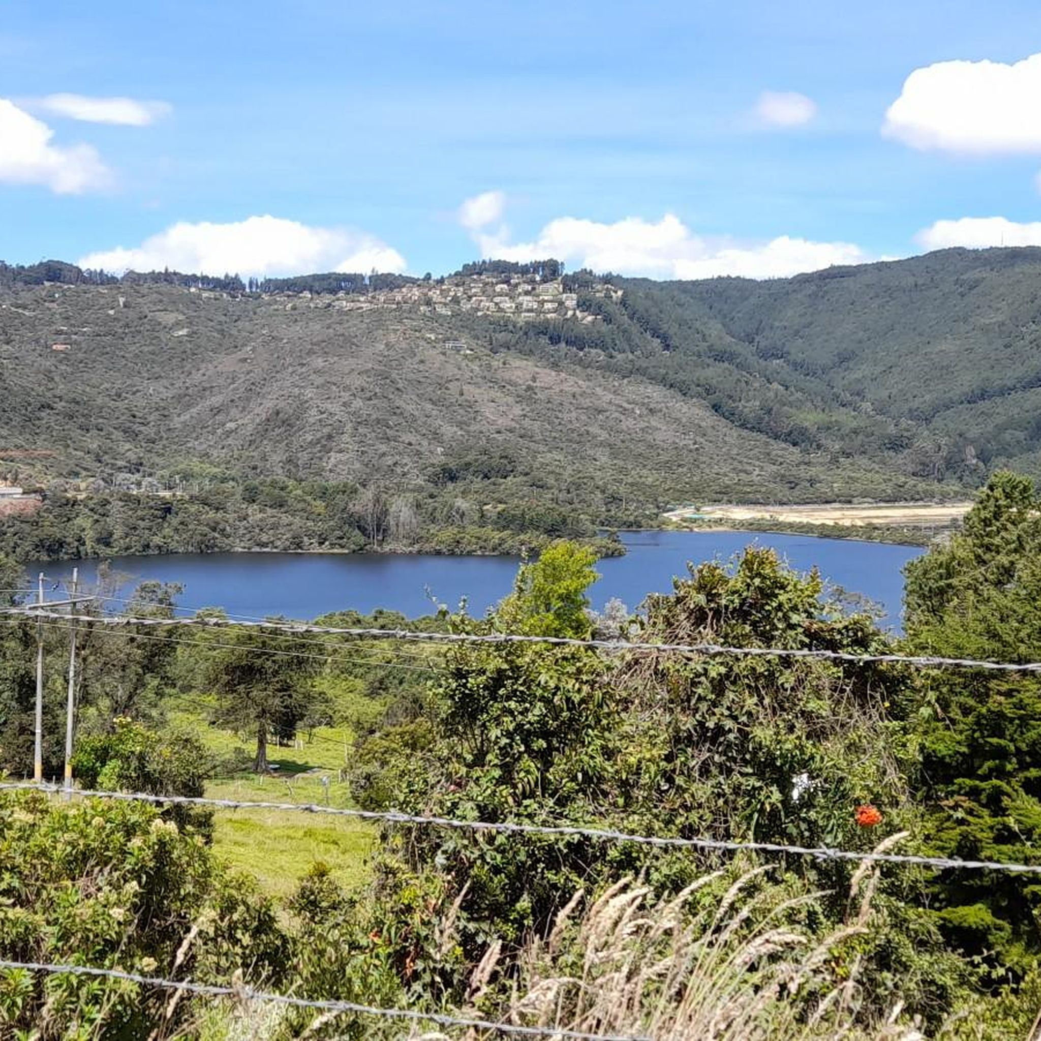
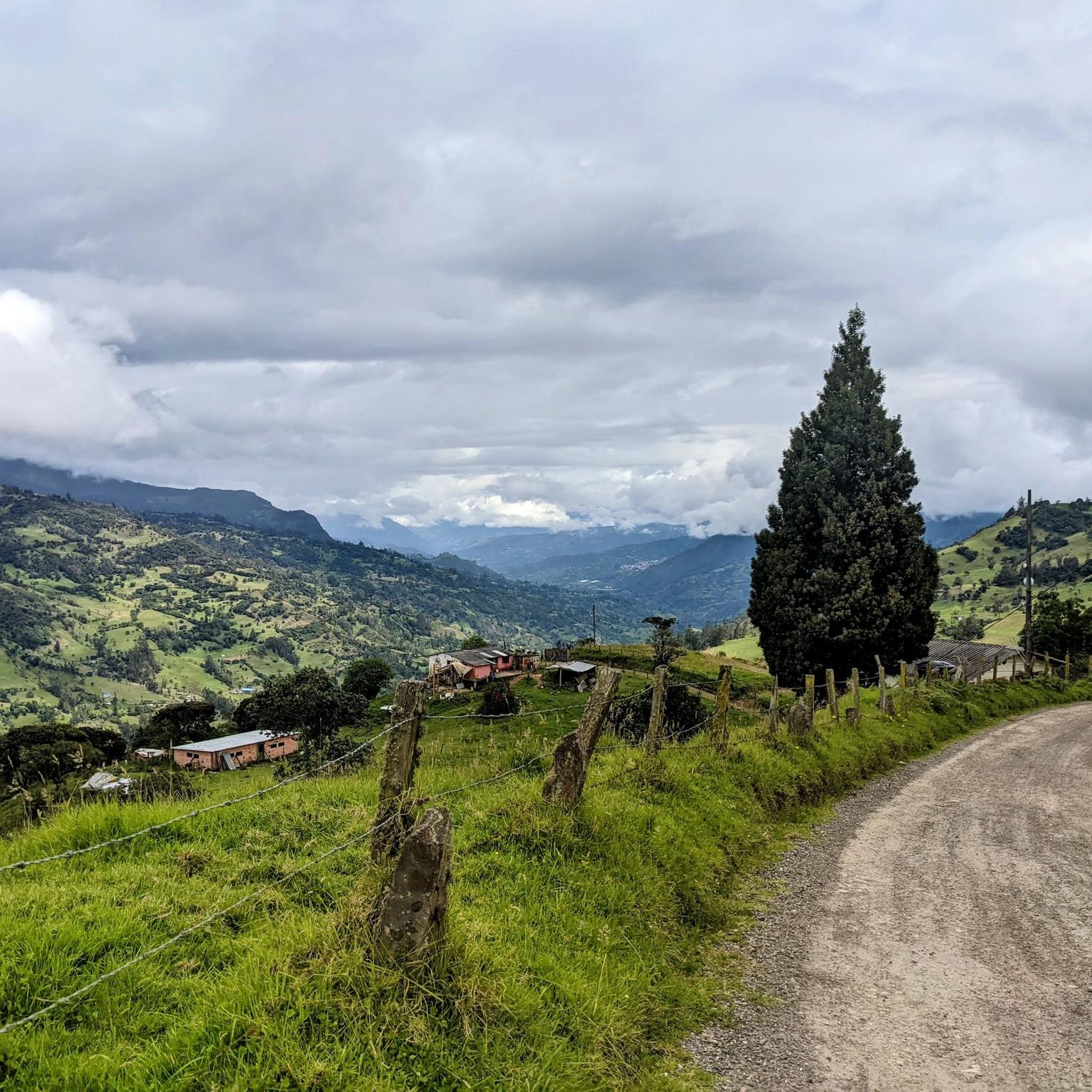
Other adventures in La Calera

Tips from the Community

The viewpoint is part of the Las Moyas Trail, known for its impressive limestone formations and panoramic views of the Colombian capital. It is often considered by locals as a quieter and more nature-oriented alternative to the better-known Monserrate mountain.
0
0

This viewpoint offers a sweeping panorama of the city from atop the mountain. From this elevated vantage point, the streets, neighborhoods, and buildings unfold like an open map, as the cityscape blends seamlessly with the hillsides and sky. It's the perfect place to pause, breathe in the fresh air, and contemplate the city from a unique perspective.
0
0

The Páramo de Las Moyas, located in the eastern hills of Bogotá within the Horizontes Cultural Threshold Reserve, combines high Andean forests with extensive páramo areas reaching approximately 3,250 meters in altitude. It is a key area due to its biodiversity and as the source of several streams, in addition to offering open views of the city and the Guadalupe rock formations. Temperatures are cold and the terrain is often damp, so it is advisable to bring warm clothing and footwear with good traction.
1
0
The Horizontes – Las Moyas Trail is a 3 km route that climbs from the Horizontes Cultural Threshold Reserve to the Las Moyas Páramo, passing through eucalyptus and acacia forests and restoration areas with native vegetation. At the top, the landscapes of high Andean forest and páramo appear, and from the summit, next to the antenna, you have a panoramic view of Bogotá. Access is controlled: you must request permission and purchase a ticket at https://cerrosdebogota.org/index.php/quiero-caminar/, and footwear with good grip is recommended for the steeper sections.
1
0
The Monserrate Hill viewpoint offers a breathtaking view of all of Bogotá, perfect for enjoying at sunrise or sunset. The climb is challenging due to the steep incline, but it's well-marked and a very popular experience among hikers. Wear shoes with good traction and bring a light jacket, as it tends to be cooler and windy at the top.
2
0

The cable car is currently closed. So, either take the funicular or walk.
0
0
The picturesque, whitewashed Basilica of the Lord of Monserrate was built in the 17th century on Monserrate and, with its shrine to the "Fallen Jesus" (El Señor Caído), is a popular pilgrimage site. The shrine's statue of Christ was also crafted in the 17th century by Pedro de Lugo Albarracín.
1
0
The Mirador de la Virgen (Virgin's Lookout) is located on the Quebrada La Vieja trail in Bogotá, at 2,963 meters above sea level. From here, you can enjoy a panoramic view of the city surrounded by a pine forest. The site houses an image of Our Lady of Perpetual Help, donated by the sisters of the Sor Teresa Valse school, a symbol of protection in difficult times. To access the trail, you must make a prior reservation on the Bogotá Aqueducts website https://caminos.eaab.gov.co/, selecting Trails > Quebrada La Vieja > Book here > Quebrada La Vieja - La Virgen.
1
0
Frequently Asked Questions
How many hiking trails are available in La Calera?
La Calera offers a wide variety of hiking experiences, with over 20 routes available. These trails cater to different skill levels, ranging from easy strolls to more challenging treks through the region's diverse landscapes.
What types of natural landscapes can I expect to see while hiking in La Calera?
Hikers in La Calera can explore unique tropical ecosystems, including high Andean forests and the distinctive páramo, characterized by mist-covered mountains and numerous lagoons. The region also features the scenic San Rafael Reservoir, various hills, and picturesque waterfalls, offering breathtaking views and rich biodiversity.
Are there any trails that offer panoramic views of Bogotá?
Yes, La Calera is known for its stunning viewpoints. For example, the route Cerro de Monserrate desde Bogotá — circular provides excellent panoramic vistas of Bogotá and the surrounding countryside. Many other elevated spots throughout the region offer similar photographic opportunities.
What are the difficulty levels of hiking trails in La Calera?
The trails in La Calera are diverse, offering options for all experience levels. You can find easy, moderate, and difficult routes. The majority of trails, about 14 out of 23, are considered moderate, providing a good balance of challenge and accessibility.
What do other hikers say about the trails in La Calera?
The hiking routes in La Calera are highly regarded by the komoot community, holding an impressive average rating of 4.8 stars from over 100 reviews. Hikers frequently praise the varied terrain, the stunning natural beauty, and the well-maintained paths that lead through high Andean forests and offer scenic viewpoints.
Are there any notable landmarks or attractions to see near the hiking trails?
Absolutely. La Calera is rich in natural and cultural landmarks. You can visit prominent peaks like Monserrate Hill or Guadalupe Hill, which offer incredible views. Other points of interest include the Cerro de Guadalupe and Christ the Redeemer Statue, providing both scenic beauty and cultural significance.
Are there any circular hiking routes in La Calera?
Yes, there are circular routes available for those who prefer to start and end their hike in the same location. A popular example is Cerro de Monserrate desde Bogotá — circular, which offers a rewarding loop experience with great views.
What kind of wildlife can I expect to encounter on the trails?
La Calera's high Andean forests and páramo ecosystems are home to diverse flora and fauna. Hikers might spot unique orchids, various bird species such as hummingbirds, thrushes, and kites, and native trees like arrayán and Quercus humboldtii oak. The region's rich biodiversity makes it an excellent spot for nature observation.
Are there any family-friendly hiking options in La Calera?
While specific family-friendly routes are not detailed, La Calera offers a range of trails, including easier options. The region's diverse landscapes and the presence of cozy huts for resting make it possible to find suitable paths for families looking for a less strenuous outdoor experience. It's advisable to check individual route details for elevation and distance to ensure they match your family's capabilities.
Is it possible to hike with dogs in La Calera?
The region's natural parks and trails often have regulations regarding pets to protect the delicate ecosystems and wildlife. While some areas might be dog-friendly, it's crucial to verify specific rules for each trail or protected area, such as Chingaza National Natural Park, before bringing your dog. Always keep pets on a leash and clean up after them.
What is the best time of year to go hiking in La Calera?
La Calera's cool mountain climate makes it suitable for hiking year-round. However, the region experiences distinct wet and dry seasons. The dry season typically offers clearer skies and more comfortable hiking conditions, while the wet season can bring mist and rain, which can enhance the mystical atmosphere of the páramo but also make trails muddier. Checking local weather forecasts before your hike is always recommended.
Are there any trails that feature waterfalls?
Yes, many trails in La Calera lead through varied terrain that includes picturesque waterfalls. The Ecological Trail “Forests of Songs and Orchids,” for instance, is known to feature waterfalls, adding to the scenic beauty of the high Andean forest experience.
Most popular attractions in La Calera

Get inspired with the komoot mobile app


Explore more
Browse the best Hikes in other regions.
