The best running trails in Choachí
4.9
(21)
1,211
runners
11
runs
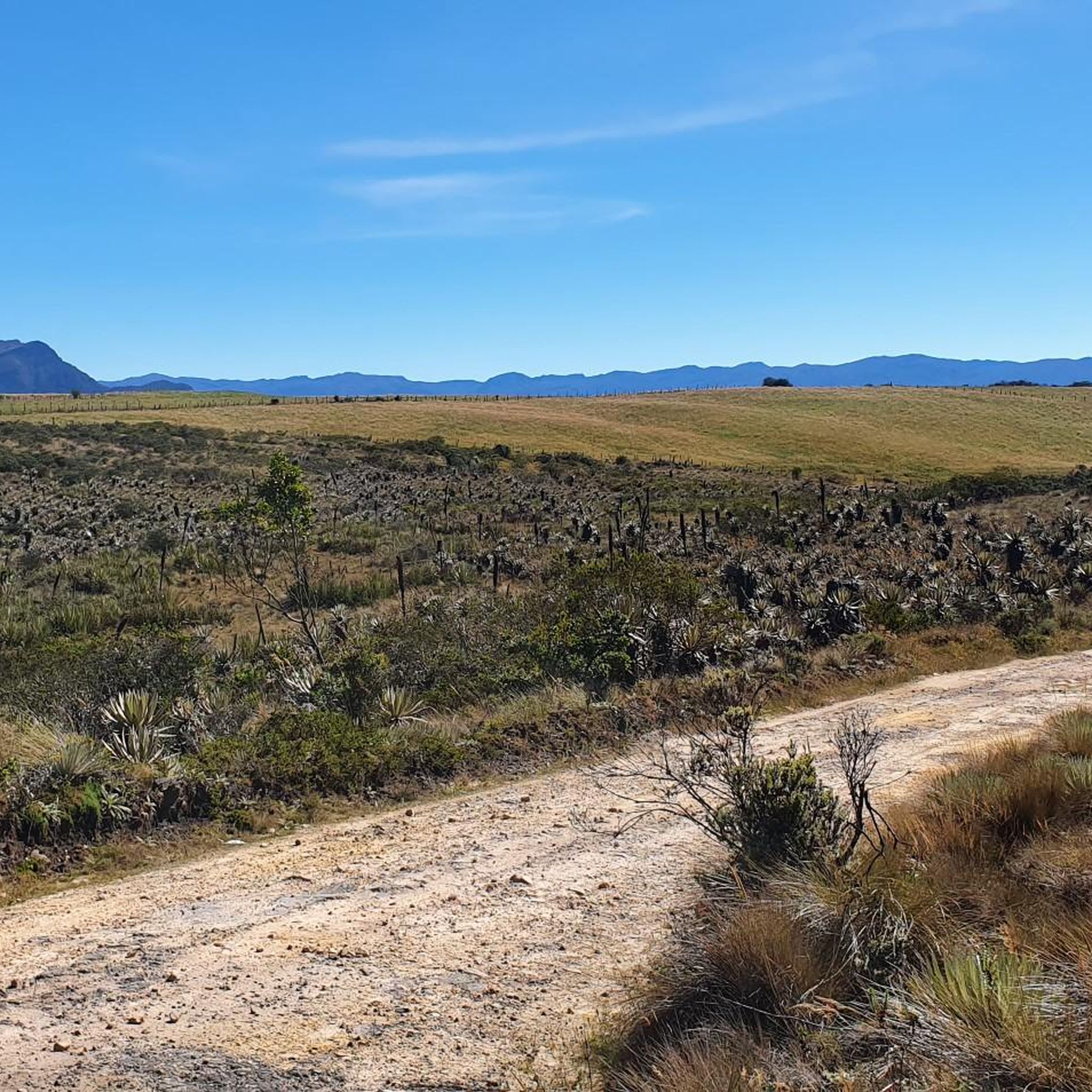
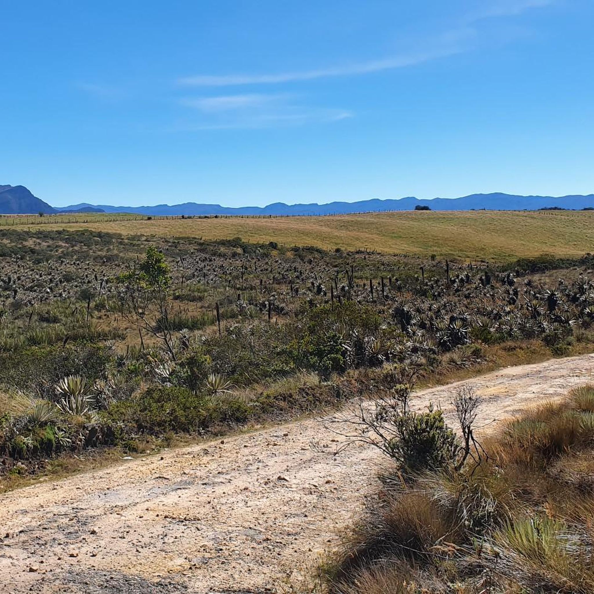
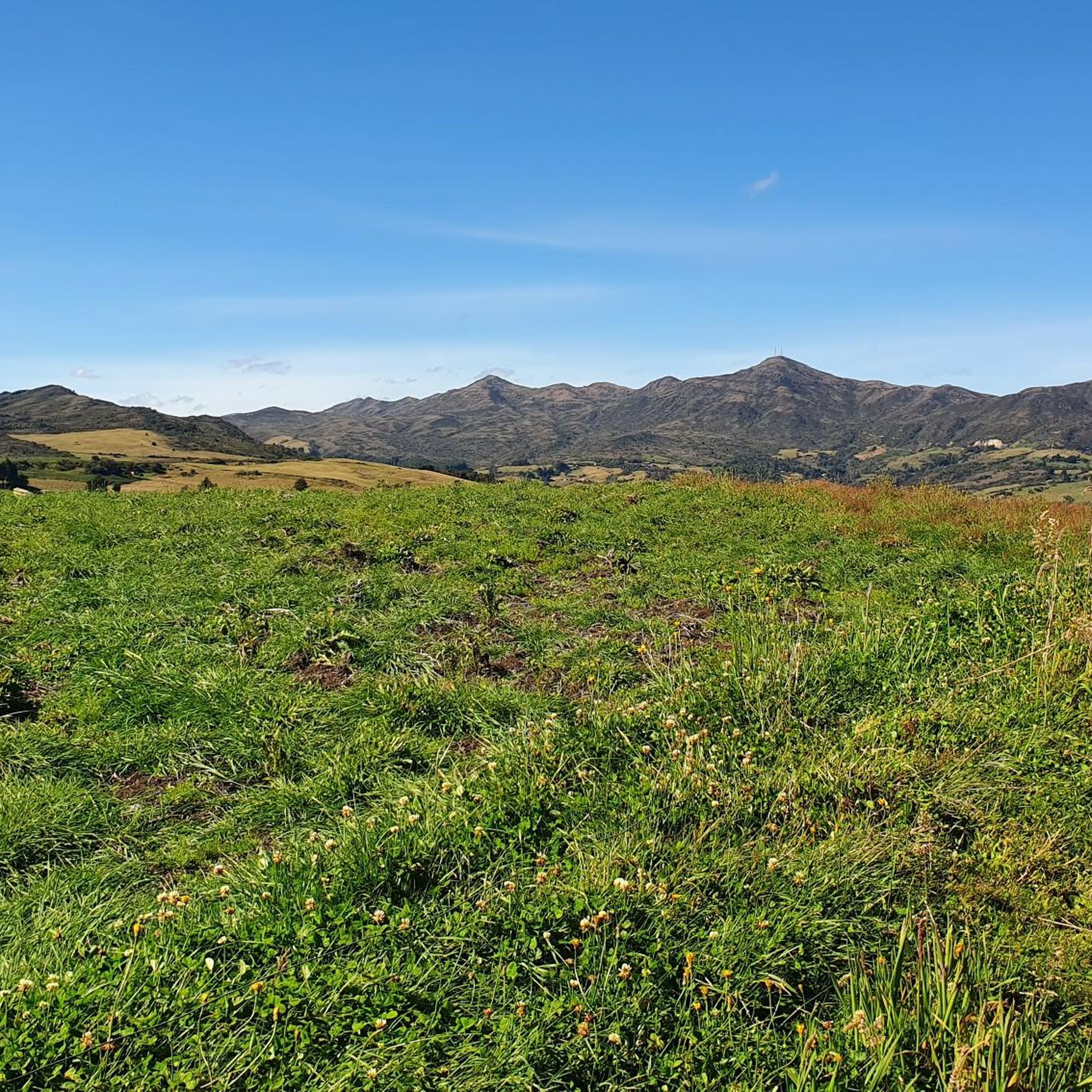
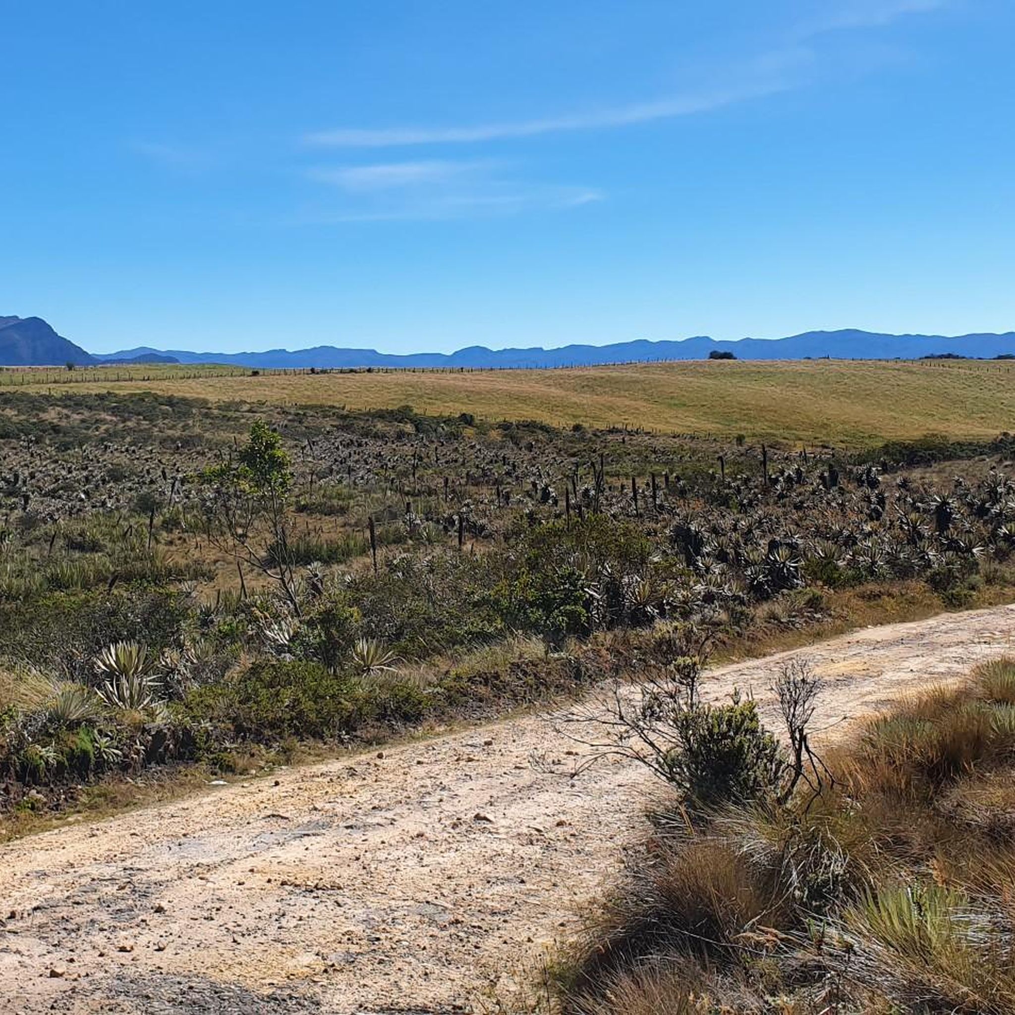
Jogging routes in Choachí, Colombia, are set within the lush Andean mountains of Cundinamarca, offering diverse terrain for runners. The region is characterized by dense cloud forests, high-altitude páramos, and numerous waterfalls, including La Chorrera and El Chiflón. Varied topography provides routes with significant elevation changes, winding through natural landscapes and offering panoramic views.
Best jogging routes in Choachí
- The most popular jogging route is National Park loop from 2. Fernando Barón S.J., a 5.9 miles (9.5 km) trail…
Last updated: June 29, 2026
5.0
(2)
158
runners
10.8km
01:08
120m
120m
Moderate run. Good fitness required. Mostly paved surfaces. Suitable for all skill levels.
4.7
(3)
123
runners
Moderate run. Good fitness required. Mostly paved surfaces. Suitable for all skill levels.

Sign up for free
5.0
(1)
54
runners
Hard run. Very good fitness required. Mostly paved surfaces. Suitable for all skill levels.
25
runners
25.6km
03:57
1,360m
1,360m
Hard run. Very good fitness required. Mostly paved surfaces. Suitable for all skill levels.
15
runners
23.2km
02:35
500m
500m
Hard run. Very good fitness required. Mostly paved surfaces. Suitable for all skill levels.
Get access to more routes and recommendations from other explorers.
Sign up for free
Already have an account?
Our route recommendations are based on thousands of hikes, rides, and runs completed by other people on komoot.
Start today with a free account
Your next adventure awaits.
Login or Signup


Other adventures in Choachí

Tips from the Community

The Torre Colpatria is one of Colombia's best-known skyscrapers and features a popular observation deck (Mirador) on the 48th floor. The Mirador is usually open to the public only on weekends and holidays: Fridays: 5:00 PM – 9:00 PM Saturdays: 12:00 PM – 9:00 PM Sundays & Holidays: 11:00 AM – 6:00 PM
0
0
The work titled "Colmena Urbana" (Urban Beehive) features larger-than-life bees and native flora, seemingly emerging from a broken house wall. The mural is a well-known highlight of Bogotá's vibrant street art scene. It is located in the city center, often seen in conjunction with popular cycling routes like the Ciclovía de Bogotá, where many main streets are closed to cars on Sundays. The artwork explores nature amidst the urban environment, depicting bees navigating among colorful flowers like hibiscus.
0
0

At this point along the bike path there are a series of colorful murals that are worth stopping to look at.
0
0

A perfect place to leave your bike and start the hike to Cerro de la Cruz. It's right at the beginning of the trail.
0
0


Bring your own water, don't buy water on the way, it's more expensive.
0
0

Go early in the morning, it looks prettier
0
0

The summit of Monserrate allows you to see a large part of Bogotá. I recommend going up at 5:00 a.m. to catch the sunrise.
0
0
Frequently Asked Questions
What kind of terrain can I expect on running routes in Choachí?
Jogging routes in Choachí offer a diverse range of terrain. You'll find paths winding through lush Andean mountains and dense cloud forests, with significant elevation changes. Some trails feature centuries-old colonial cobbled stones, while others are more natural and undisturbed, involving mud and detritus, especially in the páramo ecosystems surrounding the region.
Are there any running routes that pass by waterfalls in Choachí?
Yes, Choachí is renowned for its numerous waterfalls. While specific routes aren't listed as passing directly by them, the region's natural beauty includes majestic falls like La Chorrera and El Chiflón. Many trails lead to or pass near these natural features, offering breathtaking views and refreshing mist, particularly around El Chiflón where you can walk behind the curtain of water.
Are there any easy or beginner-friendly jogging routes in Choachí?
While many routes in Choachí are challenging, there are options for different ability levels. For a moderate experience, consider the National Park loop from 2. Fernando Barón S.J.. This 5.9-mile (9.5 km) trail takes about 1 hour to complete and winds through lush forests with scenic views, making it a good choice for those looking for a less strenuous run.
What do other runners say about the jogging trails in Choachí?
The running routes in Choachí are highly rated by the komoot community, with an average score of 4.9 stars from over 10 reviews. Runners often praise the varied terrain, the stunning natural landscapes, and the invigorating experience amidst Colombia's spectacular natural beauty. Over 800 runners have used komoot to explore the area's diverse paths.
Are there any circular running routes available in Choachí?
Yes, several circular routes are popular among runners. A notable one is the Laguna del Cacique – Alto Los Gavilanes loop from Choachí, though it is a difficult 15.9-mile (25.6 km) path with significant elevation changes. Another option is the Murals on 19th Street – Colpatria Tower loop from Estación Monserrate Funicular, a moderate 6.7-mile (10.7 km) route.
What kind of natural features or landmarks can I see along the running routes?
Choachí's routes offer stunning natural features. You'll encounter lush mountains, cloud forests, and the unique páramo ecosystems of Chingaza and Cruz Verde, characterized by misty forests and frailejones. While running, you might also spot significant viewpoints like Monserrate Hill or the Cerro de Guadalupe and Christ the Redeemer Statue, offering panoramic views of the surrounding landscape.
Is it possible to access jogging routes in Choachí using public transport?
While the guide doesn't specify direct public transport links to all trailheads, some routes, like the Road to Monserrate – Avenida El Canal loop from Estación Monserrate Funicular, start from locations that may be accessible via public transport from nearby urban centers. It's advisable to research local bus routes or shared transport options to reach specific starting points within Choachí.
Are there any specific permits required for running on trails in Choachí?
The guide does not mention specific permits required for general jogging on the trails in Choachí. However, if you plan to enter protected areas like the Chingaza National Natural Park or Matarredonda Ecological Park, it's always recommended to check their official websites for any entry fees or permit requirements before your visit.
What is the best time of year for running in Choachí?
Choachí is situated in the Andean mountains, meaning the weather can be variable. The region experiences misty forests and cloud forests, which can be present year-round. For comfortable running, consider periods with less rainfall. It's always best to check the local weather forecast closer to your planned visit, as conditions can change rapidly in mountainous areas.
Are there any family-friendly running options in Choachí?
While many routes offer significant elevation changes, the National Park loop from 2. Fernando Barón S.J. is a moderate 5.9-mile (9.5 km) trail that could be suitable for families with older children or those accustomed to some physical activity. Its lush forest setting provides a pleasant environment for a family outing, though younger children might find the distance or elevation challenging.
Can I bring my dog on the running trails in Choachí?
The guide does not explicitly state whether dogs are permitted on all running trails in Choachí. Policies can vary, especially in national parks or ecological reserves. It's recommended to check with local authorities or park management for specific rules regarding pets on trails, particularly if you plan to run within protected areas like Chingaza or Matarredonda Ecological Park.
Are there any cafes or places to eat near the running routes in Choachí?
Choachí is a town that offers a blend of natural beauty and cultural richness. While specific cafes directly on the trails are not mentioned, the town itself and areas around popular trailheads are likely to have local eateries and cafes where you can refuel after your run. It's a good idea to carry water and snacks, especially for longer or more remote routes.
Most popular attractions in Choachí

Get inspired with the komoot mobile app


Explore more
Browse the best Running Trails & Routes in other regions.
