The best walks and hikes in Choachí
4.8
(121)
1,830
hikers
16
hikes
Hiking in Choachí, nestled in the Eastern Cordillera of the Colombian Andes, offers diverse landscapes for outdoor activities. The region is characterized by lush Andean cloud forests, high-altitude páramo ecosystems, and numerous water sources, including rivers and impressive waterfalls. Hikers can explore trails leading through dense woodlands and ascend mountain paths, with elevations varying across the terrain.
Best hiking trails in Choachí
- The most popular hiking route is Cerro de Monserrate desde Bogotá — circular, a 3.4 miles (5.4 km) trail that takes 2 hours 22 minutes to complete, featuring a significant elevation gain.
- Another top favourite among local hikers is Sendero Horizontes - Las Moyas — ida y vuelta desde Bogotá, a moderate 3.5 miles (5.6 km) path offering scenic views and varied terrain.
- Local hikers also love the Quebrada La Vieja Trail, a 3.4 miles (5.4 km) trail leading through Andean cloud forests, often completed in about 1 hour 55 minutes.
- Hiking in Choachí is defined by cloud forests, cascading waterfalls, and páramo landscapes. The network offers options for different ability levels, from moderate paths to more challenging ascents.
- The routes in Choachí are highly rated by the komoot community with an average score of 4.8 stars from over 100 reviews. More than 1700 hikers have used komoot to explore Choachí's varied terrain.
Last updated: July 1, 2026
4.8
(68)
1,104
hikers
5.41km
02:22
490m
490m
Moderate hike. Good fitness required. Easily-accessible paths. Suitable for all skill levels.
4.7
(6)
186
hikers
5.59km
02:26
520m
520m
Moderate hike. Good fitness required. Easily-accessible paths. Suitable for all skill levels.

Sign up for free
4.6
(7)
131
hikers
5.45km
01:55
320m
320m
Moderate hike. Good fitness required. Easily-accessible paths. Suitable for all skill levels.
5.0
(7)
90
hikers
Moderate hike. Good fitness required. Easily-accessible paths. Suitable for all skill levels.
4.5
(2)
7
hikers
9.90km
02:57
310m
310m
Moderate hike. Good fitness required. Easily-accessible paths. Suitable for all skill levels.
Get access to more routes and recommendations from other explorers.
Sign up for free
Already have an account?
Our route recommendations are based on thousands of hikes, rides, and runs completed by other people on komoot.
Start today with a free account
Your next adventure awaits.
Login or Signup


Other adventures in Choachí

Tips from the Community

It's worth going up to the Aguadora viewpoint; the views of the city from here are breathtaking.
0
0
From here you can see the San Rafael reservoir and the beautiful natural surroundings. The green of the forest contrasts with the blue of the sky and the water.
0
0
Alto de los Patios offers countless dining options to enjoy Bogotá's sporting atmosphere. The area is usually very busy.
1
0

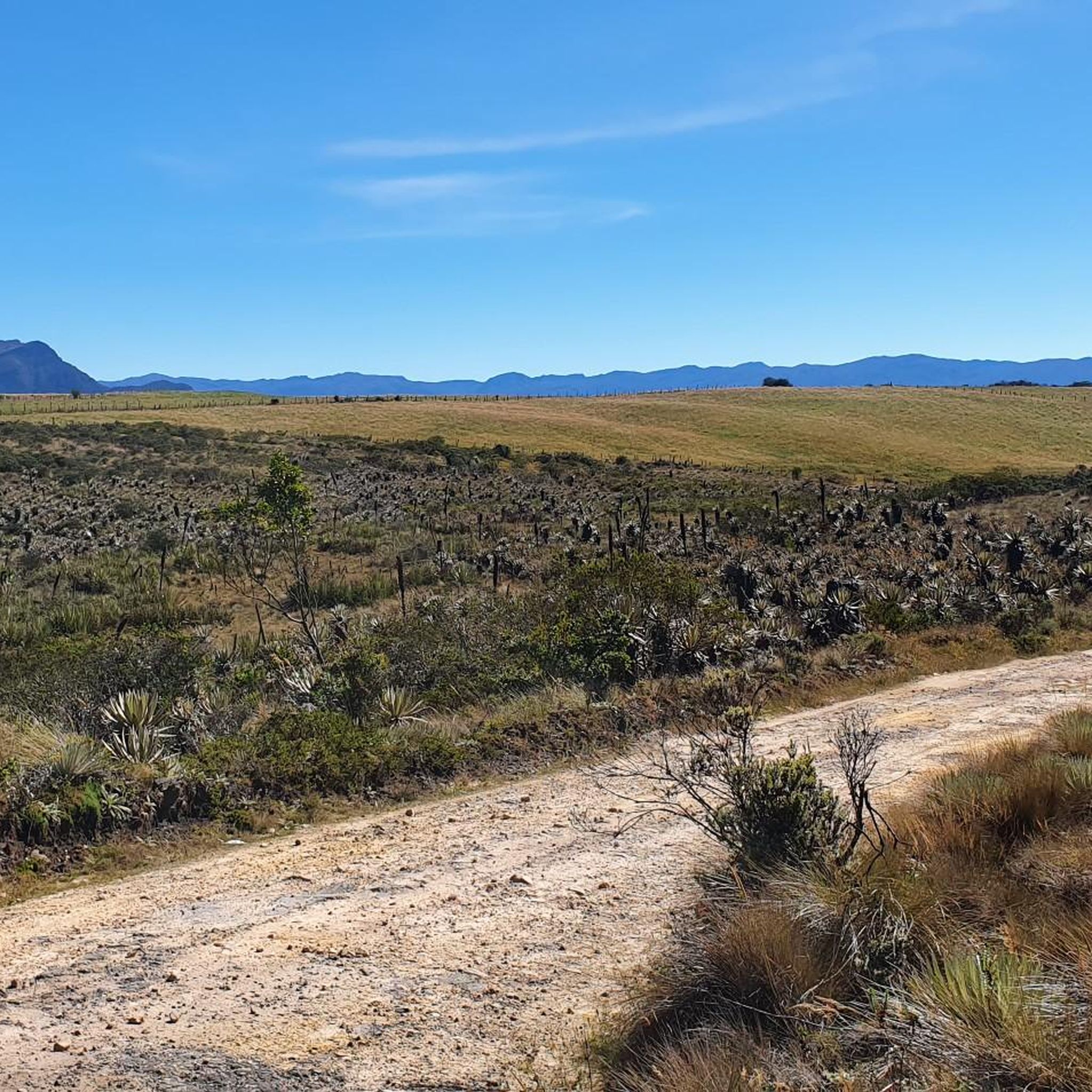
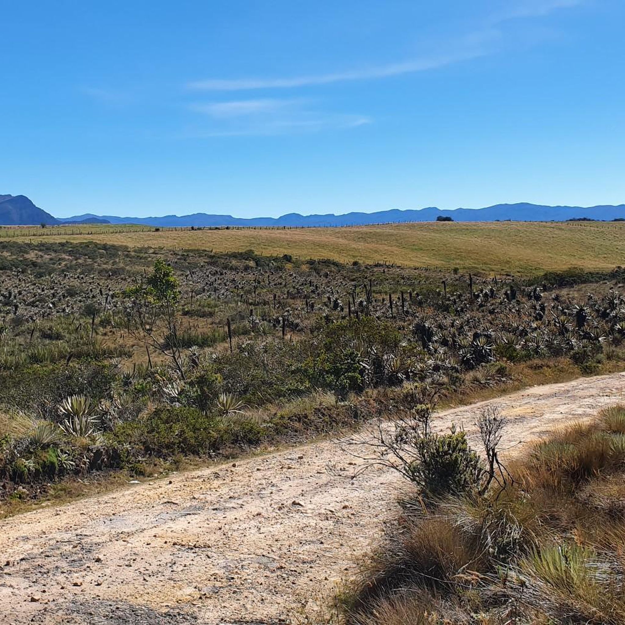
The Páramo de Las Moyas, located in the eastern hills of Bogotá within the Horizontes Cultural Threshold Reserve, combines high Andean forests with extensive páramo areas reaching approximately 3,250 meters in altitude. It is a key area due to its biodiversity and as the source of several streams, in addition to offering open views of the city and the Guadalupe rock formations. Temperatures are cold and the terrain is often damp, so it is advisable to bring warm clothing and footwear with good traction.
1
0
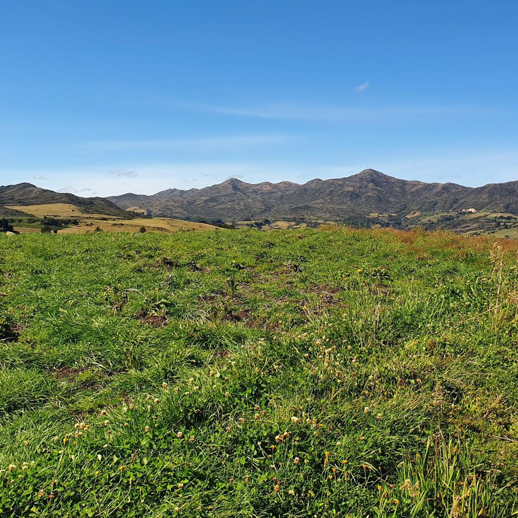
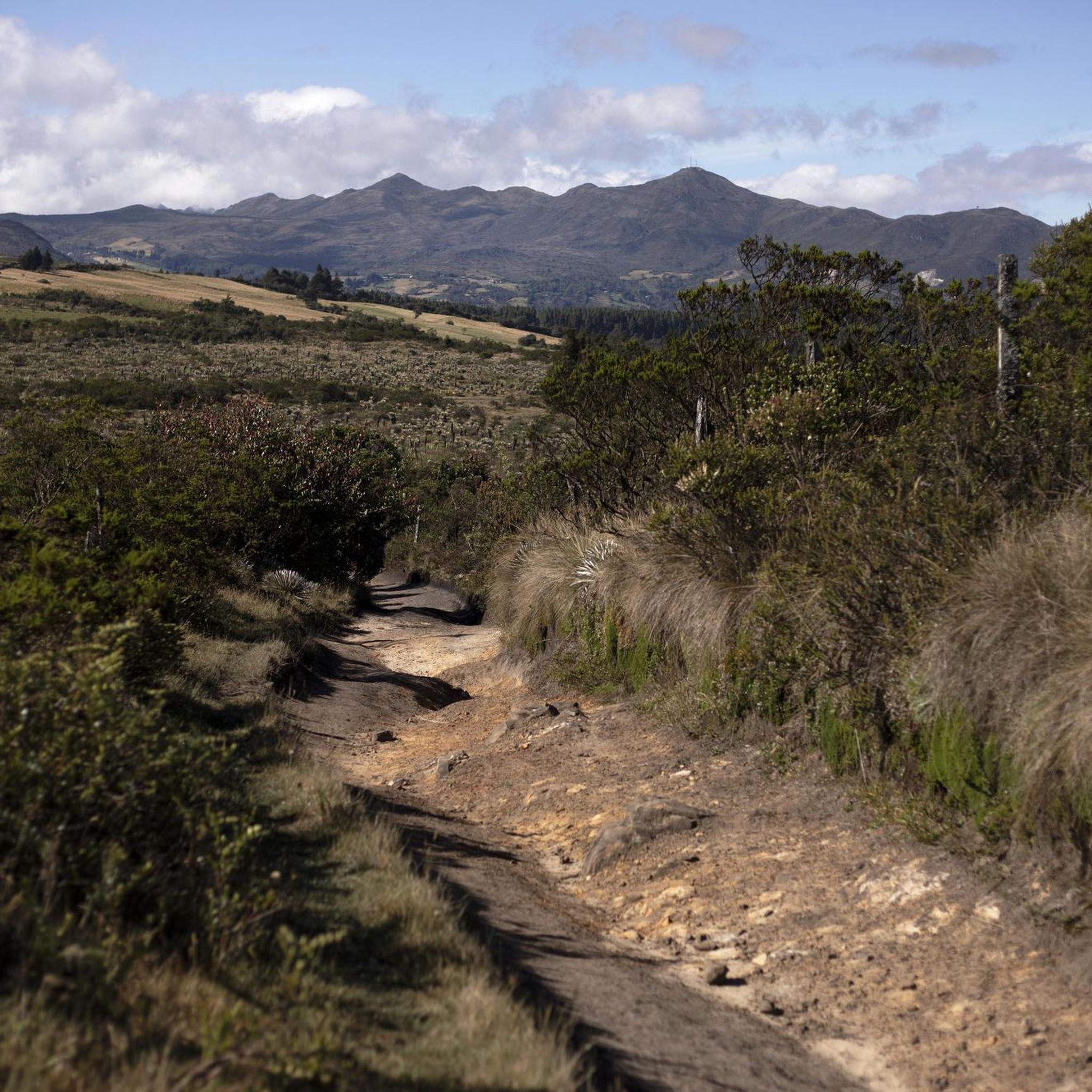
The Horizontes – Las Moyas Trail is a 3 km route that climbs from the Horizontes Cultural Threshold Reserve to the Las Moyas Páramo, passing through eucalyptus and acacia forests and restoration areas with native vegetation. At the top, the landscapes of high Andean forest and páramo appear, and from the summit, next to the antenna, you have a panoramic view of Bogotá. Access is controlled: you must request permission and purchase a ticket at https://cerrosdebogota.org/index.php/quiero-caminar/, and footwear with good grip is recommended for the steeper sections.
1
0
The Monserrate Hill viewpoint offers a breathtaking view of all of Bogotá, perfect for enjoying at sunrise or sunset. The climb is challenging due to the steep incline, but it's well-marked and a very popular experience among hikers. Wear shoes with good traction and bring a light jacket, as it tends to be cooler and windy at the top.
2
0

The cable car is currently closed. So, either take the funicular or walk.
0
0
The picturesque, whitewashed Basilica of the Lord of Monserrate was built in the 17th century on Monserrate and, with its shrine to the "Fallen Jesus" (El Señor Caído), is a popular pilgrimage site. The shrine's statue of Christ was also crafted in the 17th century by Pedro de Lugo Albarracín.
1
0
Frequently Asked Questions
What kind of terrain and natural features can I expect on hikes in Choachí?
Choachí offers a diverse landscape, primarily characterized by lush Andean cloud forests, high-altitude páramo ecosystems, and numerous water sources. You'll encounter moss-covered trees, hanging vines, and a rich variety of flora. The region is also home to impressive waterfalls like La Chorrera, Colombia's highest, and El Chiflón, where you can walk behind the water curtain. Trails often lead through dense woodlands and ascend mountain paths, providing varied elevations.
How many hiking trails are available in Choachí?
There are over 15 hiking trails available in Choachí, catering to various preferences. The komoot community has explored more than 16 routes in the area, with options ranging from moderate paths to more challenging ascents.
Are there options for different difficulty levels in Choachí?
Yes, Choachí offers a range of trails suitable for different fitness levels. You'll find a few easy routes, with the majority being moderate. There are also a couple of more difficult trails for those seeking a greater challenge.
What are some notable natural features or landmarks to see while hiking in Choachí?
While hiking in Choachí, you can explore several significant natural features. The most famous is La Chorrera Waterfall, Colombia's highest. Nearby, you can also visit El Chiflón waterfall. The region is rich in cloud forests and páramo landscapes. For specific viewpoints, consider visiting Cerro de Guadalupe and Christ the Redeemer Statue or Monserrate Hill, which offer panoramic views.
What do other hikers enjoy most about hiking in Choachí?
The hiking trails in Choachí are highly rated by the komoot community, with an average score of 4.8 stars from over 100 reviews. Hikers often praise the stunning natural beauty, the unique experience of the cloud forests, and the impressive waterfalls. The varied terrain and well-maintained paths also contribute to a rewarding experience.
Are there any family-friendly hiking options in Choachí?
While many trails in Choachí involve moderate elevation changes, some shorter and less strenuous options can be suitable for families. For instance, the trails leading to La Chorrera and El Chiflón waterfalls are popular and can be enjoyed by those with varying fitness levels, though some sections may be steep. Always check the specific route details for distance and elevation to ensure it matches your family's capabilities.
Can I find circular hiking routes in Choachí?
Yes, there are circular routes available in Choachí. An example is the Cerro de Monserrate desde Bogotá — circular, which offers a loop experience. These types of routes are great for exploring without retracing your steps.
What is the best time of year to hike in Choachí?
Choachí's climate is influenced by its Andean location. Generally, the drier seasons (typically December to March and July to August) might offer more comfortable hiking conditions with less rain. However, the cloud forests are beautiful year-round, and the waterfalls are often more impressive after rainfall. Always check the local weather forecast before heading out.
Are there any historical or cultural points of interest along the trails?
Some hiking routes in Choachí follow historical Spanish colonial trails, adding a cultural dimension to your outdoor experience. Beyond the trails, the tranquil village of Choachí itself offers a taste of authentic Colombian highland culture with its cobbled streets and traditional charm.
What are some other activities or attractions near the hiking trails in Choachí?
After a day of hiking, you can relax and rejuvenate in the natural hot springs of Termales de Santa Monica. The diverse cloud forest ecosystem also makes Choachí a haven for birdwatching enthusiasts. Additionally, you can explore nearby attractions such as Patios Summit or the cultural sites in Bogotá like Plaza de Bolívar and the Botero Museum.
Can I bring my dog on the trails in Choachí?
While many outdoor areas in Colombia are dog-friendly, specific regulations can vary for protected natural areas or private lands. It's advisable to check local signage or inquire with tour operators regarding dog policies for the particular trail you plan to hike, especially around popular attractions like the waterfalls, to ensure a smooth experience for you and your pet.
How long do hikes in Choachí typically take?
Hikes in Choachí vary in duration depending on the route and your pace. For example, the Quebrada La Vieja Trail typically takes about 1 hour 55 minutes, while the Alto de Patios and Mirador Aguadora Loop can take around 2 hours 56 minutes. It's best to check the estimated duration for each specific route on komoot.
Most popular attractions in Choachí

Get inspired with the komoot mobile app


Explore more
Browse the best Hikes in other regions.
