The best road cycling routes in Chipaque
4.6
(33)
201
riders
7
rides
Road cycling in Chipaque is characterized by its challenging topography and significant elevation gains, making it a notable destination for cyclists. The region features a mountainous backdrop with expansive vistas across valleys, providing a demanding yet rewarding experience. Cyclists encounter routes with steep gradients, often exceeding 9% over several kilometers, set within the Eastern Hills. This terrain offers a variety of road cycling routes for those seeking to improve climbing skills.
Best road cycling routes in Chipaque
- The most popular…
Last updated: July 1, 2026
5.0
(20)
52
riders
29.9km
01:38
610m
610m
Moderate road ride. Good fitness required. Mostly well-paved surfaces and easy to ride.
4.9
(10)
50
riders
62.3km
03:59
1,330m
1,330m
Hard road ride. Very good fitness required. Some segments of this route may be unpaved and difficult to ride.

Sign up for free
5.0
(1)
45
riders
46.7km
03:12
1,590m
1,590m
Hard road ride. Very good fitness required. Some segments of this route may be unpaved and difficult to ride.
4.0
(1)
47
riders
44.8km
02:29
890m
890m
Moderate road ride. Good fitness required. Mostly well-paved surfaces and easy to ride.
4.0
(1)
7
riders
30.0km
01:44
690m
690m
Moderate road ride. Good fitness required. Mostly well-paved surfaces and easy to ride.
Get access to more routes and recommendations from other explorers.
Sign up for free
Already have an account?
Our route recommendations are based on thousands of hikes, rides, and runs completed by other people on komoot.
Start today with a free account
Your next adventure awaits.
Login or Signup
Popular around Chipaque
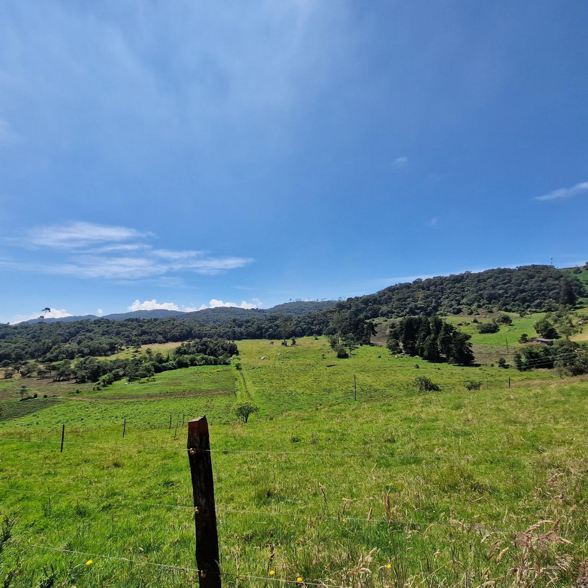
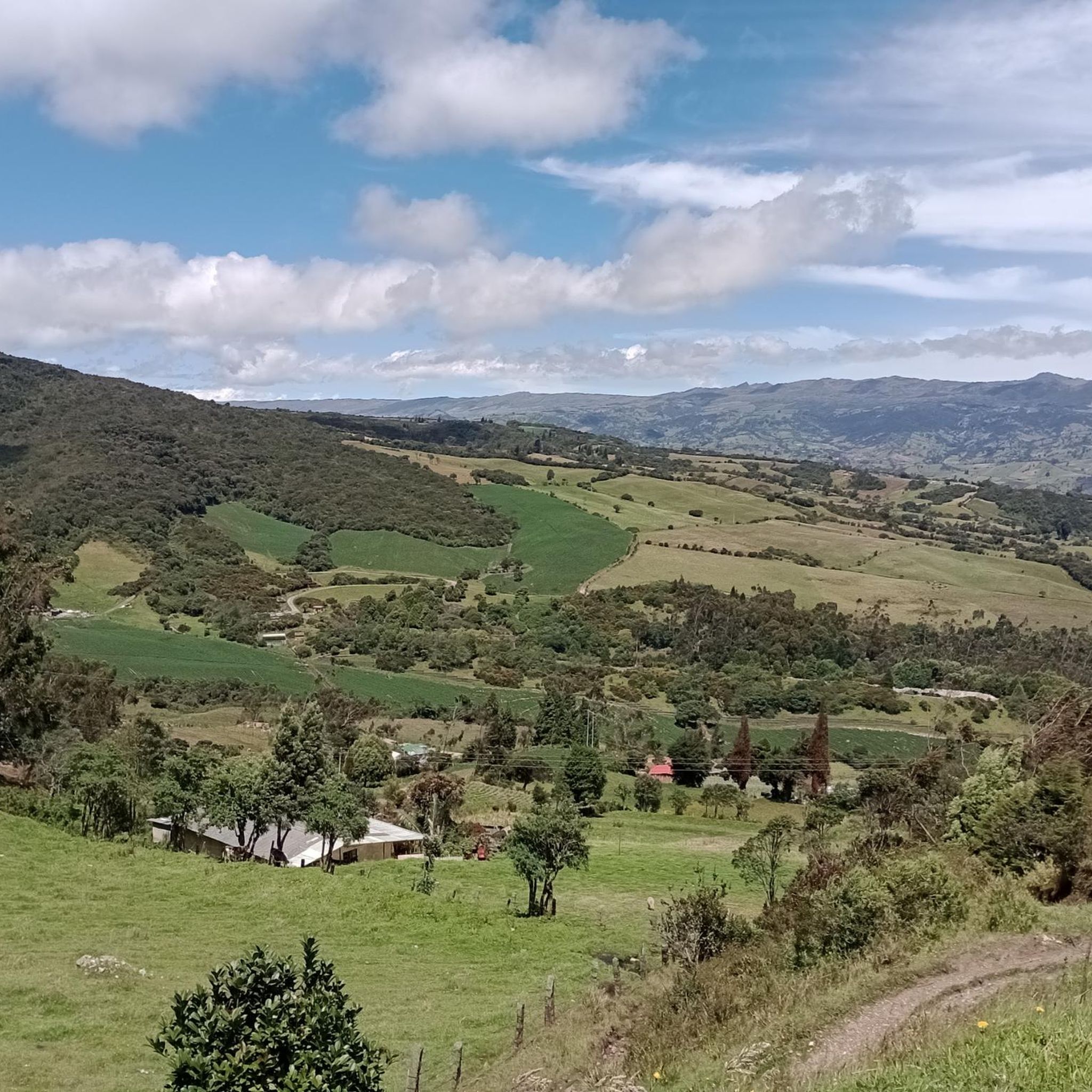
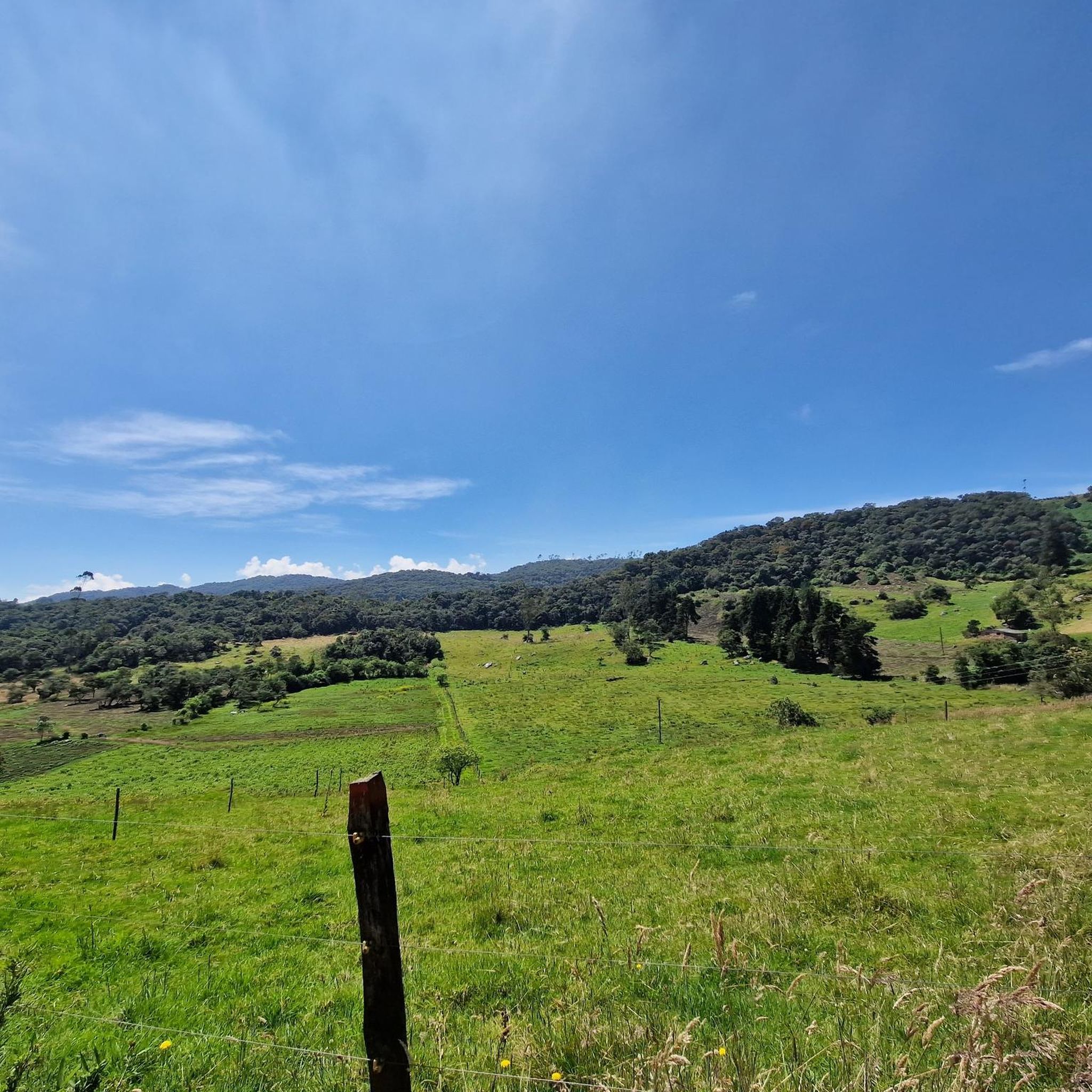
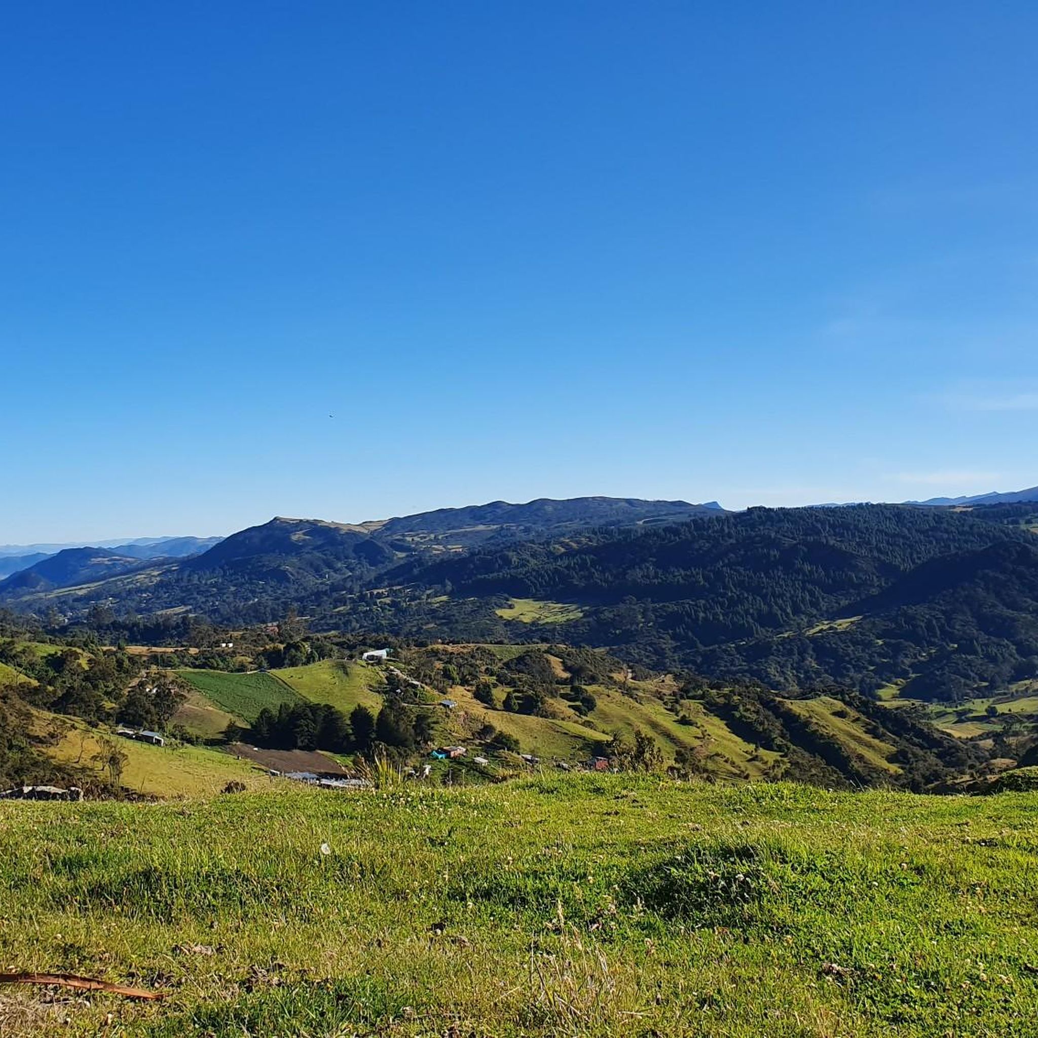
Tips from the Community

The perfect place to take a break
0
0

Getting to Choachi is a challenge. We recommend a road with a spectacular view. It's quite cold and the climb is quite demanding; it's not for beginners. Take advantage of Sunday when there's a safe route with police at critical points.
1
0

Cold, beautiful place, be prepared for the cold, respect this place, do not throw garbage, do not shout, there the water is born...
0
0
Good bike route, quiet place... generally cold
0
0

Very nice and a place for high performance athletes
0
0
highly recommended
0
0

At this point there is a dog that looks after the reservoir. If you can, you can leave him food or water. He has his little house where he takes shelter from the cold and the rain.
0
0
Pretty cold place... you must be prepared for it, DO NOT THROW TRASH ANYWHERE, RESPECT THIS SPACE, IT GUARANTEES YOUR LIFE
0
0
Frequently Asked Questions
How many road cycling routes are available in Chipaque?
Chipaque offers a vast network of road cycling routes, with over 230 options available for exploration. These routes cater to various skill levels, from moderate to very challenging.
What is the typical terrain and difficulty for road cycling in Chipaque?
Road cycling in Chipaque is characterized by its challenging topography and significant elevation gains. You can expect routes with steep gradients, often exceeding 9% over several kilometers, set within the picturesque Eastern Hills. It's a popular area for cyclists looking to improve their climbing skills.
When is the best time of year for road cycling in Chipaque?
The months of May and June are particularly popular for road cycling in Chipaque. During this period, the conditions are often ideal for tackling the region's demanding routes and enjoying the scenic landscapes.
Are there routes suitable for advanced road cyclists looking for a challenge?
Absolutely. Chipaque is renowned for its demanding routes, including ascents like the one from Alto del Boquerón. For instance, the route from Chipaque extending to Guasca is an 83 km ride with 2,040 meters of elevation gain, often referred to as the 'queen stage'. Another challenging option is the La Regadera Reservoir – Los Tunjos, Sumapaz Páramo loop from Usme (La Requilina), a difficult 62.3 km path traversing high-altitude ecosystems.
What kind of scenic views can I expect while cycling in Chipaque?
Cyclists in Chipaque are treated to very pleasant and scenic views. You'll encounter expansive vistas of Chipaque across valleys, a picturesque mountainous backdrop within the Eastern Hills, and unique high-altitude ecosystems, such as those suggested by the 'Sendero del frailejón'.
Are there any notable landmarks or attractions along the road cycling routes in Chipaque?
While cycling in the Chipaque region, you might find yourself near several interesting points. Notable attractions include the challenging Alto del Boquerón mountain pass. Other nearby points of interest include Plaza de Bolívar, Bogotá, and the Cerro de Guadalupe and Christ the Redeemer Statue, offering panoramic views.
Are there any moderate road cycling routes in Chipaque?
Yes, while many routes are challenging, Chipaque also offers moderate options. An example is the Roadbike loop from 20 de Julio, which covers nearly 30 km with over 600 meters of elevation gain, providing a good workout without the extreme difficulty of some longer climbs.
What do other road cyclists enjoy the most about road cycling in Chipaque?
The area is highly rated by the komoot community, with an average score of 4.7 stars from over 30 reviews. Reviewers often praise the challenging ascents, significant elevation gains, and the scenic viewpoints across valleys, making it a rewarding experience for those seeking to test their limits.
Are there any loop road cycling routes in Chipaque?
Many of the road cycling routes in Chipaque are designed as loops, allowing you to start and finish at the same point. Examples include the popular Choachí Church loop from Potrero Grande and the Alto del Verjón loop from Reserva del Portal.
What are the typical distances and elevation gains for road cycling routes in Chipaque?
Routes in Chipaque vary significantly. You can find moderate loops around 30 km with 600-700 meters of elevation gain, such as the Roadbike loop from El Mochuelo Oriental. More difficult routes can extend to over 60 km with more than 1,300 meters of climbing, like the La Regadera Reservoir – Los Tunjos, Sumapaz Páramo loop from Usme (La Requilina).
Most popular routes in Chipaque
Most popular attractions in Chipaque

Get inspired with the komoot mobile app


Explore more
Browse the best Road cycling routes in other regions.
