The best MTB trails in Chipaque
4.9
(16)
56
riders
6
rides
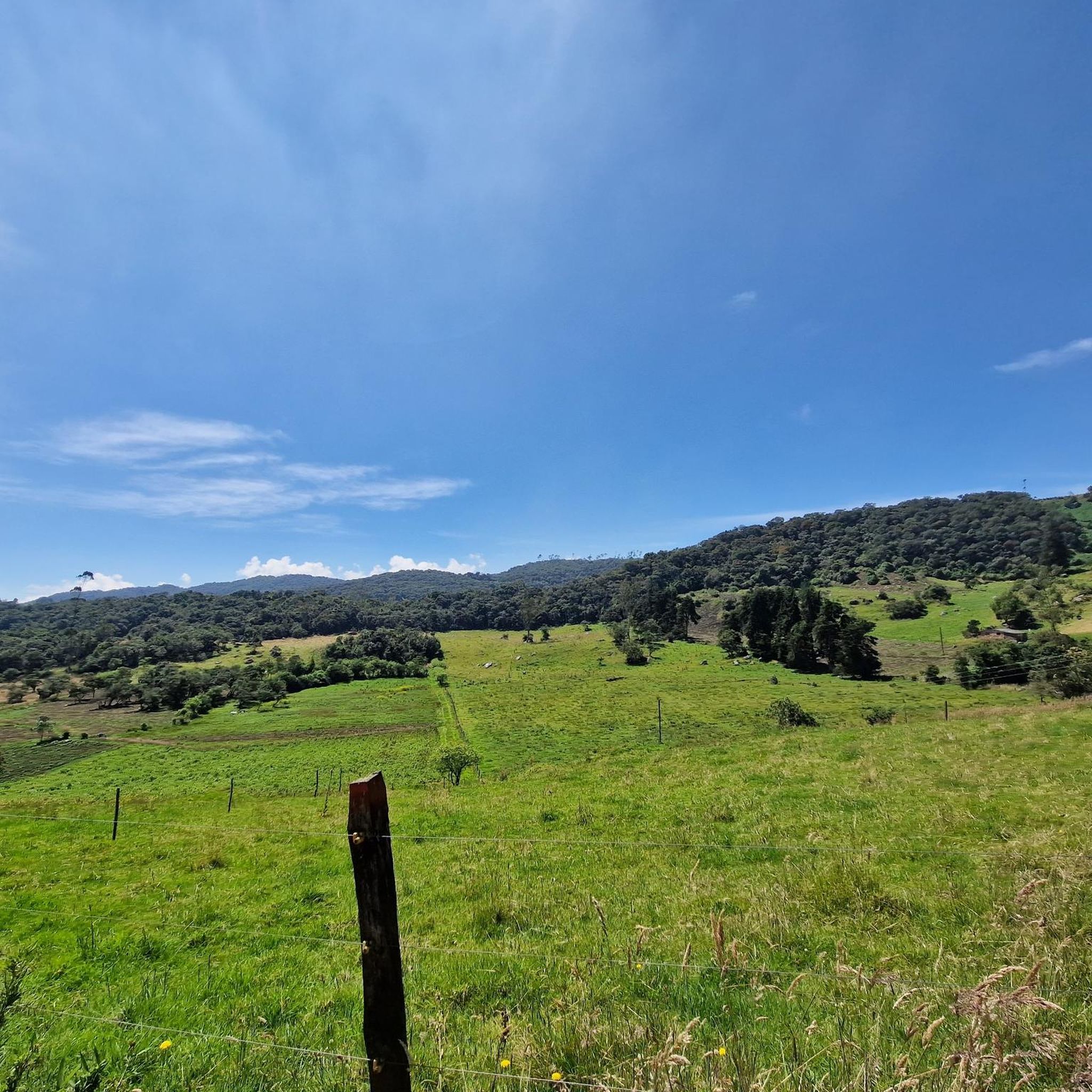
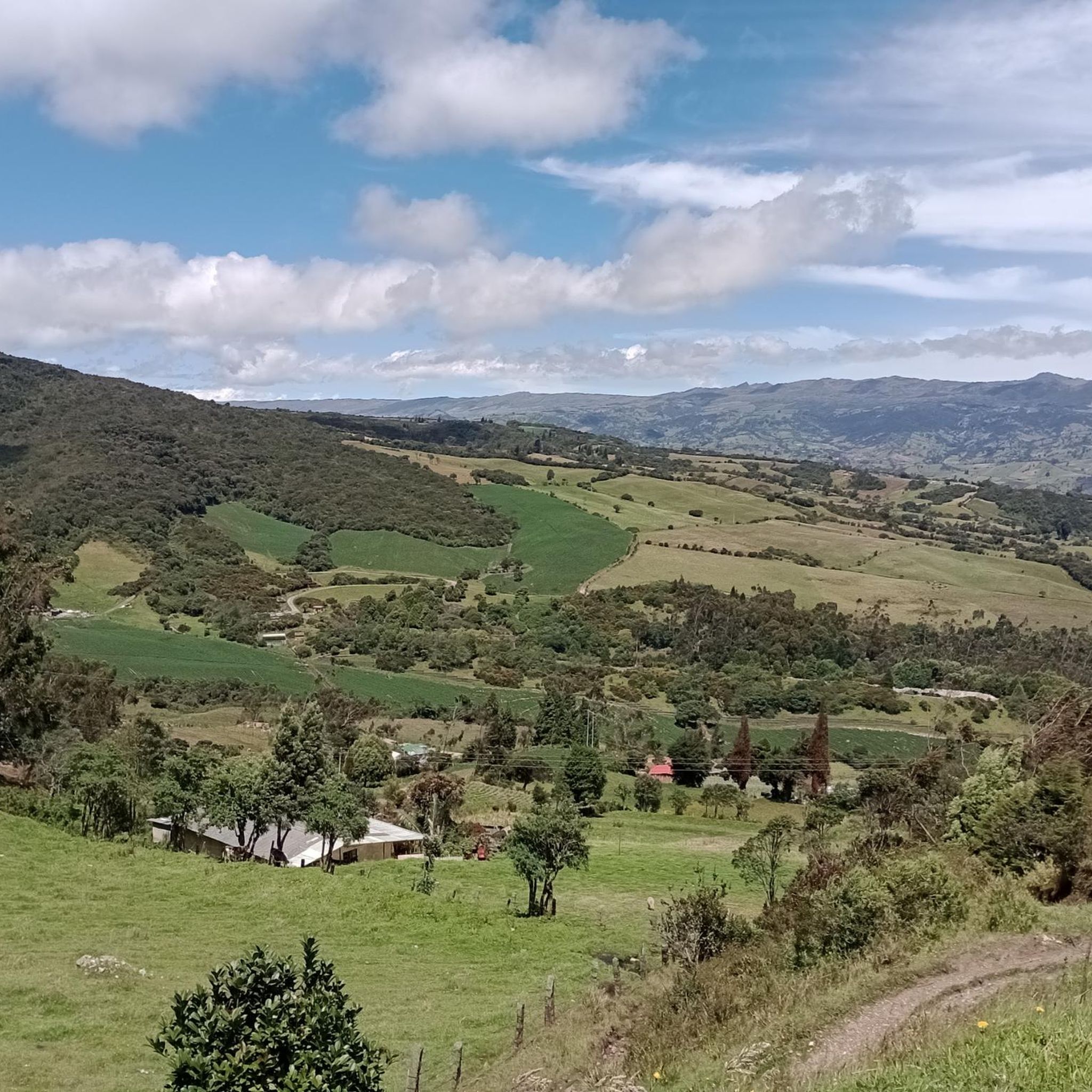
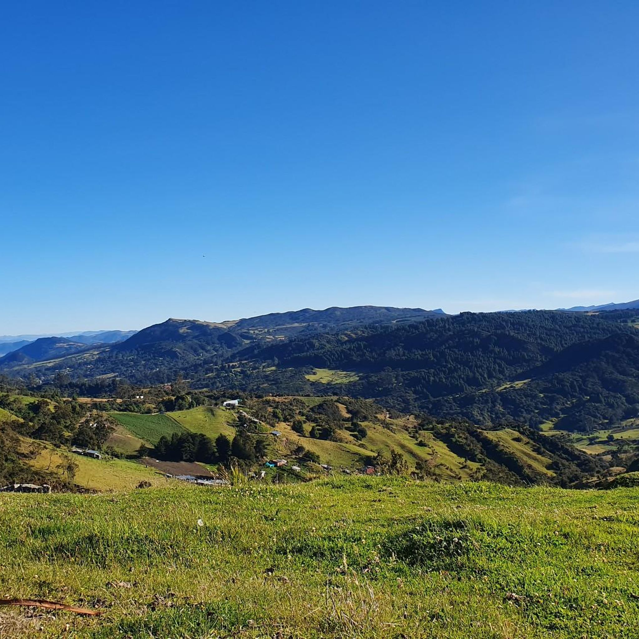
Mountain bike trails in Chipaque are set within Colombia's Andean region, offering diverse terrain for outdoor enthusiasts. The landscape features rugged mountain ranges, fertile valleys, and high-altitude plateaus. Riders can expect varied ground conditions, from mostly flat sections to uneven terrain with small hills, and more challenging parts with steep inclines, rocks, and roots. The area's ecosystems include cloud forests, providing a rich natural backdrop for mountain biking.
Best mountain bike trails in Chipaque
- The most popular mountain bike trail…
Last updated: June 28, 2026
5.0
(1)
18
riders
29.8km
02:46
780m
780m
Moderate mountain bike ride. Good fitness required. Suitable for all skill levels.
5.0
(3)
14
riders
43.4km
04:28
1,240m
1,240m
Hard mountain bike ride. Very good fitness required. Suitable for all skill levels.

Sign up for free
4.5
(8)
11
riders
25.8km
02:06
570m
570m
Moderate mountain bike ride. Good fitness required. Suitable for all skill levels.
5.0
(3)
7
riders
30.5km
02:27
820m
820m
Moderate mountain bike ride. Good fitness required. Suitable for all skill levels.
5.0
(1)
3
riders
39.1km
03:24
990m
990m
Hard mountain bike ride. Very good fitness required. Suitable for all skill levels.
Our route recommendations are based on thousands of hikes, rides, and runs completed by other people on komoot.
Start today with a free account
Your next adventure awaits.
Login or Signup
Tips from the Community

This place has a changeable climate, so you should be prepared. There are no places to buy food, and the closest thing is pasquilla...
0
0

end of the climb, it's good to have a drink and regain strength
0
0

A place with a beautiful view... you leave Ubaque and go out to the edge of Caqueza... drive with caution, do not disturb the flora and fauna of the place...
0
0
Generally cold place, the flora and fauna of the region does not intervene.
0
0
A quiet place... in this region you will find well-known routes in the region such as Cacique and Cascavita, generally the climate is cold... the routes are excellent, do not vote garbage and do not interfere with the flora and fauna of the region. ..
0
0
A spectacular place... there you go up to the bade de la armada or take the path towards romeral, to soacha or sibate along trails... generally cold place (subparamo)... quiet place... remember not to interfere with the flora or fauna of the place and do not vote garbage... excellent route
1
0
Good climbs in zone 5... route to do accompanied...
0
0
Frequently Asked Questions
How many mountain bike trails are available in Chipaque?
Chipaque offers 7 mountain bike trails for you to explore. These routes cater to various skill levels, with 4 moderate and 3 difficult options.
What kind of terrain can I expect on mountain bike trails in Chipaque?
The terrain in Chipaque is diverse, ranging from mostly flat and even sections to uneven ground with small hills. You'll also encounter more challenging parts with steep inclines, rocks, and roots, characteristic of the Andean mountain ranges. Some routes may even require dismounting and pushing your bike.
Are there any circular mountain bike routes in Chipaque?
Yes, all the mountain bike routes listed in Chipaque are designed as loops, allowing you to start and finish at the same point. For example, you could try the challenging View of the Filo de Cáqueza – El Filo loop from Cáqueza.
Can you recommend a challenging mountain bike trail in Chipaque?
For experienced riders seeking a challenge, consider the Path to the Navy Base – Base Crossing loop from Reserva del Portal. This difficult route covers nearly 40 kilometers and features over 1,000 meters of elevation gain, offering a strenuous ride through rugged landscapes.
Are there any moderate mountain bike trails suitable for intermediate riders?
Intermediate riders will find several moderate options. A good choice is the Stone Tunnel Near Usme Pueblo – Pasquilla Village loop from Reserva del Portal, which is about 30 kilometers long with over 800 meters of elevation gain, providing a balanced challenge.
What is the best time of year to go mountain biking in Chipaque?
Chipaque, being in the Andean region, experiences varied weather. Generally, the dry season (typically December to March and July to August) offers more favorable conditions with less rain, making trails more accessible and enjoyable. However, always check local weather forecasts before heading out.
What natural features or viewpoints can I expect to see while mountain biking in Chipaque?
Chipaque's trails traverse stunning Andean landscapes, including cloud forests and areas with rich flora and fauna. You can expect panoramic vistas from various points. While specific viewpoints on the bike trails aren't detailed, the region is known for spots like Cerro El Pital and Cerro El Mirador, which offer breathtaking views.
Are there any interesting landmarks or attractions near the mountain bike trails in Chipaque?
While riding, you'll be immersed in natural beauty. For nearby attractions, you might consider visiting Alto del Boquerón, a mountain pass offering scenic views. The broader region also features natural wonders like Sendero de las Cataratas (waterfalls) and Las Piedras Blancas (unique geological formations), ideal for post-ride exploration.
What do other mountain bikers enjoy the most about mountain biking in Chipaque?
The mountain bike trails in Chipaque are highly rated by the komoot community, with an average score of 4.9 stars from over 19 reviews. Riders often praise the diverse terrain, the challenging nature of the routes, and the stunning Andean scenery that provides a rich natural backdrop for their adventures.
Is there parking available near the mountain bike trails in Chipaque?
While specific parking facilities for each trailhead are not detailed, many routes, such as those starting from Reserva del Portal or Parque Materredonda, typically have informal or designated areas where riders can park their vehicles. It's advisable to check the starting point of your chosen route for local parking options.
Are the mountain bike trails in Chipaque suitable for families or beginners?
The mountain bike trails in Chipaque are generally rated as moderate to difficult. There are no explicitly designated 'easy' or beginner trails. The terrain can be rugged with steep inclines, rocks, and roots, making them more suitable for riders with a good level of fitness and advanced riding skills rather than families with young children or absolute beginners.
Are dogs allowed on the mountain bike trails in Chipaque?
The allowance of dogs on trails can vary by specific location or protected area regulations. While there's no universal rule for all trails in Chipaque, it's always best to check local signage or community guidelines for the specific trail you plan to ride to ensure dogs are permitted and to understand any leash requirements.
Most popular attractions in Chipaque

Get inspired with the komoot mobile app


Explore more
Browse the best MTB trails in other regions.
