The best cycling routes in Anapoima
5.0
(13)
396
riders
25
rides
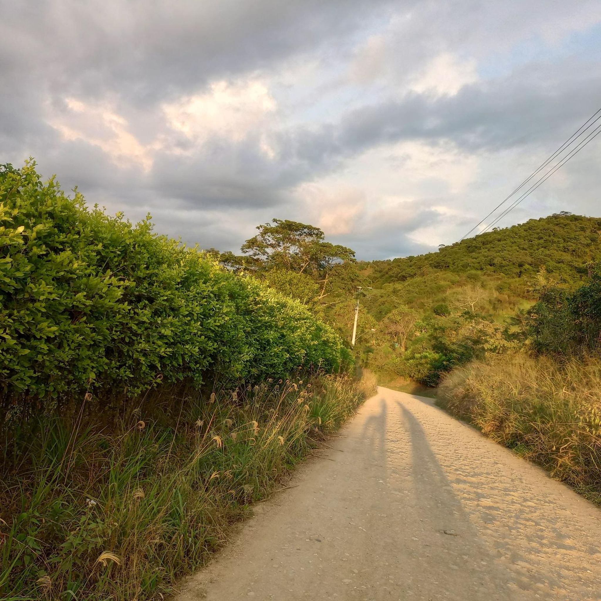
Touring cycling routes in Anapoima offer diverse terrain in a region characterized by mountainous landscapes and tropical forests. The area features a network of routes with varying elevation gains, from gentle climbs to significant ascents, suitable for different fitness levels. Riders can expect a mix of paved and unpaved surfaces, winding through natural environments and past rivers. The consistently warm and dry climate provides year-round conditions for outdoor exploration.
Best touring cycling routes in Anapoima
- The most popular touring cycling…
Last updated: June 28, 2026
5.0
(2)
43
riders
63.9km
04:23
1,100m
1,100m
Hard bike ride. Very good fitness required. Mostly paved surfaces. Suitable for all skill levels.
5.0
(2)
24
riders
35.7km
02:49
530m
530m
Hard bike ride. Very good fitness required. Mostly paved surfaces. Suitable for all skill levels.

Sign up for free
5.0
(2)
26
riders
Moderate bike ride. Good fitness required. Mostly paved surfaces. Suitable for all skill levels.
5.0
(1)
21
riders
26.5km
01:48
410m
410m
Moderate bike ride. Good fitness required. Mostly paved surfaces. Suitable for all skill levels.
21
riders
45.3km
03:26
1,160m
1,160m
Hard bike ride. Very good fitness required. Mostly paved surfaces. Suitable for all skill levels.
Get access to more routes and recommendations from other explorers.
Sign up for free
Already have an account?
Our route recommendations are based on thousands of hikes, rides, and runs completed by other people on komoot.
Start today with a free account
Your next adventure awaits.
Login or Signup
Popular around Anapoima


Tips from the Community

Car workshop to villa 109
0
0
Frequently Asked Questions
What kind of terrain and difficulty can I expect on touring cycling routes in Anapoima?
Anapoima offers a diverse range of terrain for touring cyclists, from mostly paved surfaces to unpaved and more challenging segments. Routes feature varying elevation gains, from gentle climbs of around 500 feet to significant ascents of over 1500 feet. You'll find a mix of concrete, undefined paths, and roads winding through mountainous landscapes and tropical forests.
Are there any easier touring cycling routes for beginners in Anapoima?
Yes, while many routes are challenging, there are options suitable for beginners. For instance, the San Antonio Station loop from San Antonio is a moderate 10.6 miles (17.0 km) trail with a manageable elevation gain, often completed in about 1 hour 13 minutes, making it a good choice for those new to touring cycling in the region.
What natural features or landmarks can I see while cycling in Anapoima?
Cycling in Anapoima allows you to experience mountainous scenery, tropical forests, and river valleys. You can encounter natural spots like Quebrada Campos "La Campuna" and the natural baths of Santa Lucía and Santa Ana. The Cristo Rey monument, a 14-meter tall statue, also offers impressive panoramic views after a hike, which can be combined with a cycling tour.
Are there any scenic viewpoints accessible by bike in Anapoima?
Yes, Anapoima is home to several miradors (viewpoints) that offer panoramic vistas of the surrounding mountains and rural areas. While some may require a short hike, viewpoints like San Judas, Las Abejas, and Los 3 Nevados provide breathtaking views, especially during sunrise or sunset, and can be incorporated into your cycling itinerary.
Are there family-friendly touring cycling routes in Anapoima?
Anapoima offers routes with varying difficulties. For family-friendly options, look for routes described as 'easy' or 'moderate' with shorter distances and less elevation gain. These often feature mostly paved surfaces, providing a more comfortable experience for families. Always check the route details on komoot for specific terrain and elevation profiles to ensure suitability for your family.
Can I bring my dog on touring cycling routes in Anapoima?
While specific regulations for dogs on cycling routes are not universally posted, many natural trails in Anapoima, such as those winding through tropical forests, are generally accessible for well-behaved dogs on a leash. It's always advisable to ensure your dog is accustomed to longer rides and varied terrain, and to carry enough water for both of you.
What is the best time of year to go touring cycling in Anapoima?
Anapoima boasts a consistently warm and dry climate with temperatures generally ranging between 22°C and 28°C. This makes it an ideal destination for outdoor exploration, including touring cycling, year-round. You can enjoy the routes without significant worry about sudden weather changes, though mornings or late afternoons might be more comfortable during hotter periods.
Are there any challenging touring cycling routes for experienced riders in Anapoima?
Absolutely. Anapoima is known for its challenging routes with significant elevation gains. For experienced riders seeking a demanding expedition, consider the Apulo Station – Tocaima Station loop from 8, which covers 39.7 miles (63.9 km) with over 1100 meters of elevation gain. Another difficult option is the Pueblo gravel out of Bogota – Mesitas loop from Anapoima, a 45.1 km route with over 1100 meters of ascent.
How many touring cycling routes are available in Anapoima?
There are over 25 touring cycling routes available in Anapoima, offering a wide variety of distances, difficulties, and scenic experiences. This includes routes ranging from easy to very difficult, ensuring options for all skill levels.
What do other touring cyclists enjoy the most about touring cycling in Anapoima?
The touring cycling routes in Anapoima are highly rated by the komoot community, with an average score of 5.0 stars. Reviewers often praise the diverse terrain, the stunning mountainous and forested landscapes, and the consistently pleasant climate that allows for year-round riding. The variety of routes catering to different fitness levels is also frequently highlighted.
Are there any circular touring cycling routes in Anapoima?
Yes, many of the touring cycling routes in Anapoima are designed as loops, allowing you to start and finish in the same location. Examples include the Car Workshop – Apulo Station loop from 8 and the Apulo Station – San Antonio Station loop from Apulo, providing convenient options for your ride.
What kind of surfaces will I encounter on Anapoima's touring cycling routes?
You will encounter a mix of surfaces on Anapoima's touring cycling routes. While some routes feature mostly paved roads, others include concrete sections, undefined paths, and gravel segments. This variety adds to the adventure and requires a touring bicycle capable of handling different types of terrain.
Most popular routes in Anapoima

Get inspired with the komoot mobile app


Explore more
Browse the best Cycling routes in other regions.
