The best cycling routes in Monguí
4.9
(71)
474
riders
39
rides
Touring cycling routes in Monguí navigate a landscape characterized by high-altitude Andean terrain, featuring a mix of paved and unpaved rural roads. The region often includes ascents and descents through valleys and past agricultural areas, providing varied cycling conditions. This area is known for its elevation changes, offering challenging routes for experienced cyclists.
Best touring cycling routes in Monguí
- The most popular touring cycling route is Gustavo Jiménez School – Viewpoint of Alto de Tobacia loop from Sogamoso, a…
Last updated: July 2, 2026
4.9
(7)
53
riders
73.8km
04:41
830m
830m
Hard bike ride. Very good fitness required. Mostly paved surfaces. Suitable for all skill levels.
4.8
(15)
50
riders
50.4km
03:21
340m
340m
Moderate bike ride. Good fitness required. Mostly paved surfaces. Suitable for all skill levels.

Sign up for free
5.0
(6)
41
riders
59.1km
04:12
630m
630m
Hard bike ride. Very good fitness required. Mostly paved surfaces. Suitable for all skill levels.
5.0
(1)
34
riders
52.5km
04:07
970m
970m
Hard bike ride. Very good fitness required. Mostly paved surfaces. Suitable for all skill levels.
5.0
(2)
21
riders
82.1km
05:48
1,440m
1,440m
Hard bike ride. Very good fitness required. Mostly paved surfaces. Suitable for all skill levels.
Get access to more routes and recommendations from other explorers.
Sign up for free
Already have an account?
Our route recommendations are based on thousands of hikes, rides, and runs completed by other people on komoot.
Start today with a free account
Your next adventure awaits.
Login or Signup

Tips from the Community


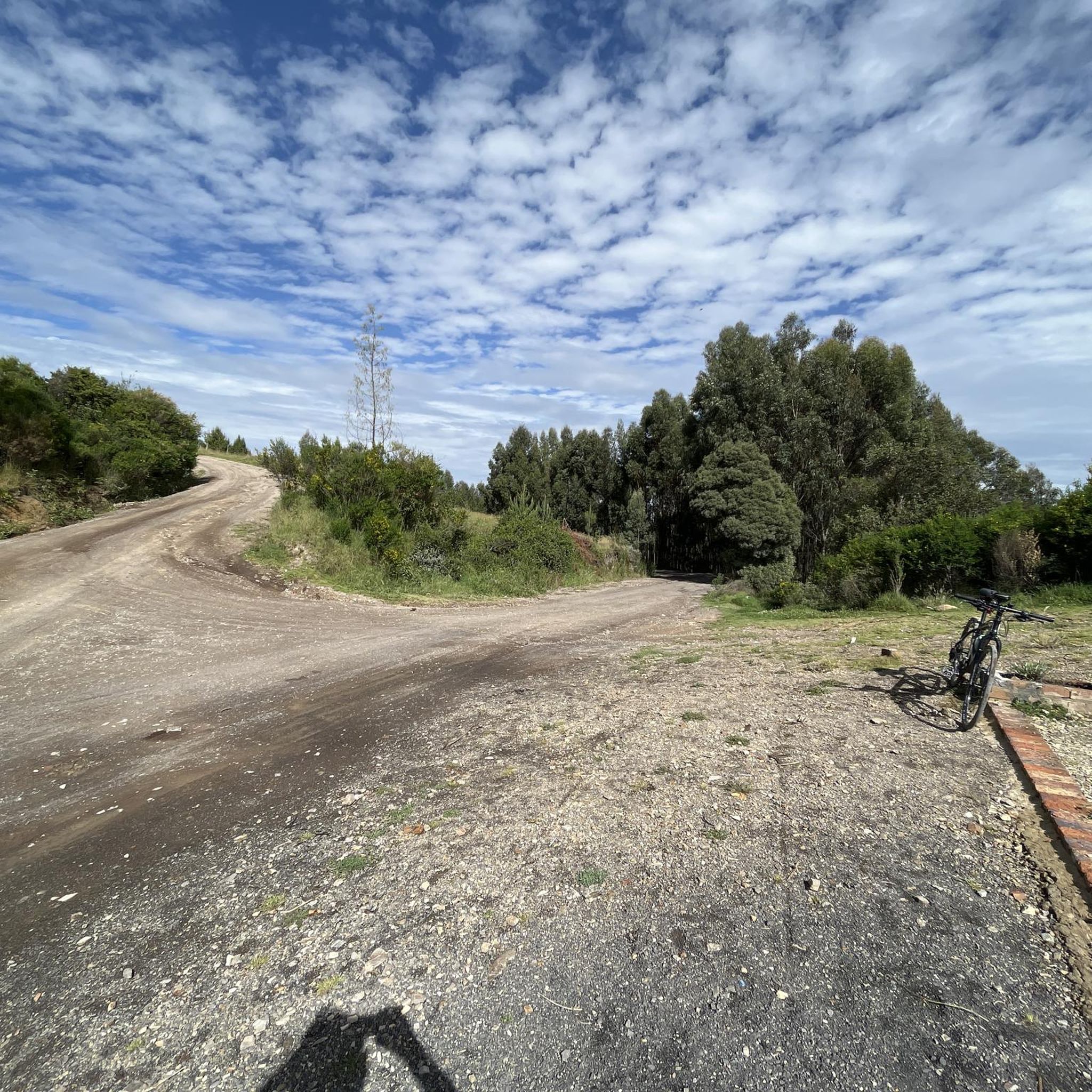
The segment from the Gustavo Jimenez school to Monguí is paved in good condition.
0
0

There's a nice restaurant here with a speciality of locally caught trout.
0
0

Frequently Asked Questions
What is the general difficulty level of touring cycling routes in Monguí?
Monguí's touring cycling routes are primarily characterized by high-altitude Andean terrain and significant elevation changes. Out of 40 available routes, 28 are rated as difficult, 10 as moderate, and only 2 as easy. This makes the region particularly appealing for experienced cyclists seeking a challenge.
Are there any family-friendly touring bike trails in Monguí?
While many routes in Monguí are challenging due to elevation, there are a couple of easier options available. However, given the high-altitude and varied terrain, even 'easy' routes might require a certain level of fitness. It's always recommended to check the specific route details for elevation gain and surface conditions to ensure it's suitable for your family's experience level.
What is the typical distance and duration for touring cycling routes in Monguí?
The touring cycling routes in Monguí vary significantly in length and time. For example, the Cicua loop from Sogamoso is about 52.5 km (32.6 miles) and takes around 4 hours 7 minutes, while the View of Lake Tota – Viewpoint for Lago De Tota loop from Sogamoso is longer at 82.1 km (51 miles) and can take over 5 hours 47 minutes to complete. Most routes involve considerable elevation gain, impacting overall duration.
What kind of terrain can I expect on touring bike trails in Monguí?
Cyclists in Monguí will encounter a mix of paved and unpaved rural roads. The landscape features ascents and descents through valleys and past agricultural areas. Due to the high-altitude Andean terrain, routes often include significant elevation changes, providing diverse and challenging cycling conditions.
Are there circular touring bike routes available in Monguí?
Yes, many of the touring cycling routes in Monguí are designed as loops, allowing you to start and finish at the same point. Examples include the popular Gustavo Jiménez School – Viewpoint of Alto de Tobacia loop from Sogamoso and the Valle de los Sauces, Pesca loop from Sogamoso, offering convenient options for your ride.
What are some natural attractions or landmarks I can see along the touring cycling routes?
While cycling in Monguí, you can explore several natural monuments and points of interest. Notable attractions include the expansive Lake Tota, the serene Laguna Negra, and the unique Valley of the Frailejones. There are also viewpoints like Viewpoint to Sogamoso - Ruchical offering panoramic views.
Are there any cultural or historical sites near the cycling routes?
Yes, beyond natural beauty, you can find cultural landmarks. The Church of the Virgin of the O of Morcá is a significant religious building in the area. Additionally, you might pass through small settlements like Crucero Surtipan, offering a glimpse into local life.
What do other touring cyclists say about the routes in Monguí?
The touring cycling routes in Monguí are highly regarded by the komoot community, boasting an average rating of 4.9 stars from over 60 reviews. Cyclists frequently praise the challenging climbs, diverse landscapes, and the rewarding views encountered along the high-altitude paths.
Are there places to stop for refreshments or food along the trails?
While specific cafes and pubs directly on every trail might be limited due to the rural nature of many routes, you can find options in nearby towns and villages. For instance, Panadería Vad's Castro is a bakery that could be a convenient stop if your route passes through or near a populated area. It's advisable to carry sufficient water and snacks, especially on longer or more remote sections.
What should I consider regarding public transport options to reach Monguí's cycling trails?
Information on specific public transport links directly to the start points of all trails is not readily available. Monguí is a smaller town in a rural region. It's generally recommended to plan your logistics, potentially involving local bus services to Monguí or nearby larger towns like Sogamoso, and then cycling or arranging local transport to your desired starting point. Parking availability should also be considered if driving.
What is the best time of year for touring cycling in Monguí?
Given Monguí's high-altitude Andean climate, weather can be variable. Generally, the drier seasons are more favorable for cycling, offering clearer skies and more stable road conditions. However, even during dry periods, be prepared for potential changes in weather, including cooler temperatures and occasional rain, especially at higher elevations.
What should I wear for cycling in Monguí's high-altitude environment?
Due to the high-altitude Andean terrain, temperatures can vary significantly, and weather can change quickly. It's advisable to dress in layers, including a windproof and waterproof outer shell. Sun protection (sunscreen, sunglasses, hat) is crucial due to the increased UV exposure at altitude. Gloves and warm base layers are also recommended, especially for early morning or late afternoon rides.
Most popular routes in Monguí
Most popular attractions in Monguí

Get inspired with the komoot mobile app


Explore more
Browse the best Cycling routes in other regions.
