The best road cycling routes in Firavitoba
4.7
(91)
1,422
riders
38
rides
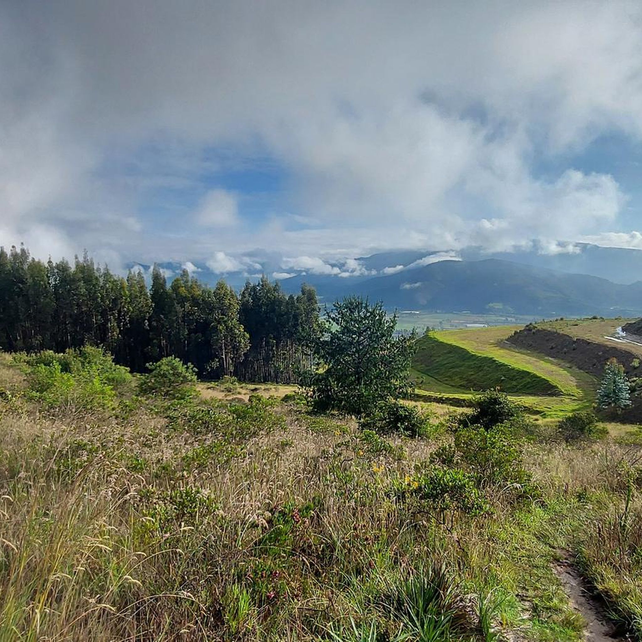
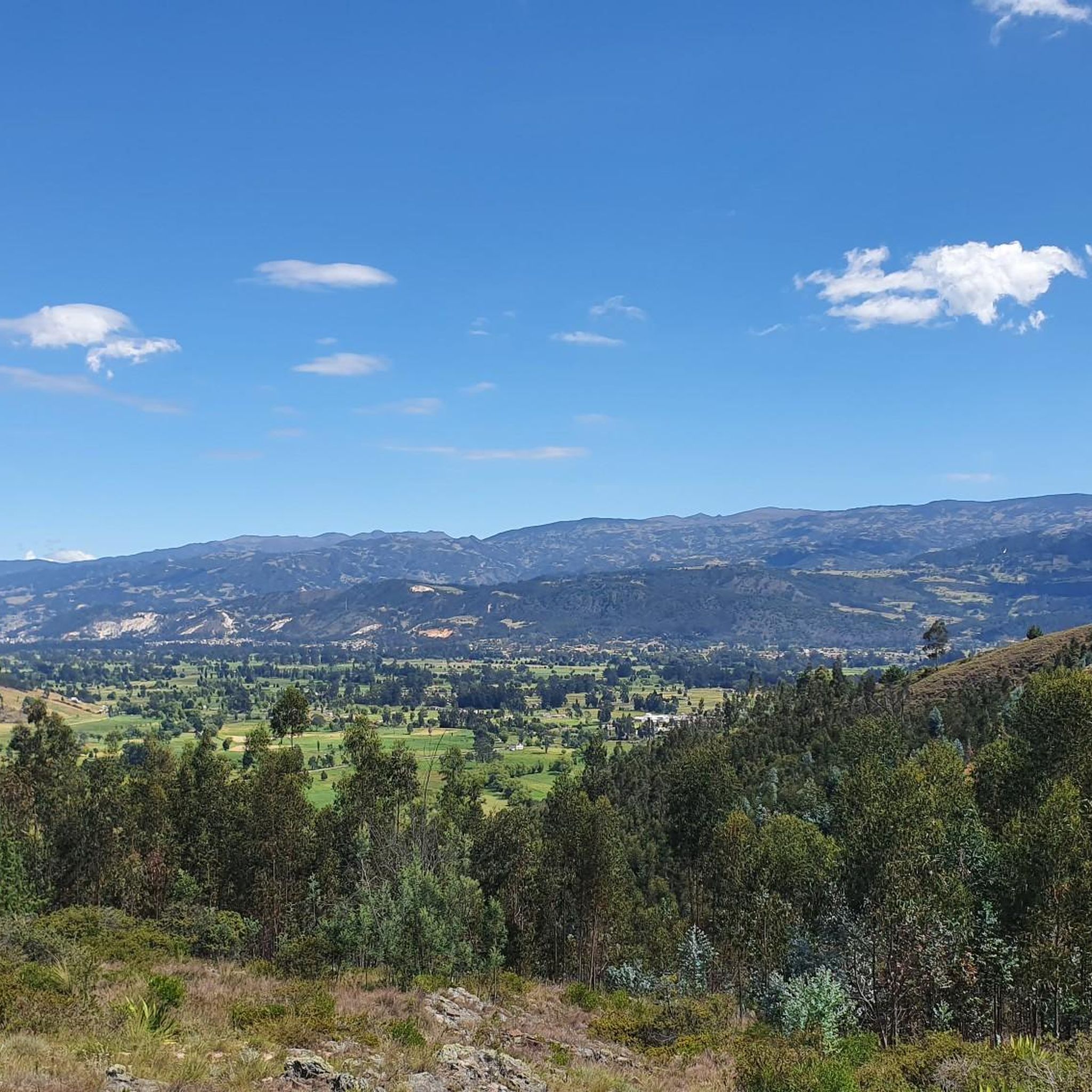
Road cycling routes in Firavitoba traverse a diverse landscape characterized by mountainous terrain and rolling hills within Colombia's Boyacá department. The region offers varied ascents and descents, providing challenges for different skill levels. Valleys and natural cover contribute to the scenic backdrop, with the area's Muisca etymology hinting at abundant natural beauty.
Best road cycling routes in Firavitoba
- The most popular road cycling route is Garden View in Colombia – Alto del Portachuelo loop from Sogamoso, a 54.6 miles…
Last updated: July 1, 2026
5.0
(4)
120
riders
87.9km
04:33
1,020m
1,020m
Hard road ride. Very good fitness required. Some segments of this route may be unpaved and difficult to ride.
4.3
(3)
102
riders
61.6km
03:14
510m
510m
Moderate road ride. Good fitness required. Some segments of this route may be unpaved and difficult to ride.

Sign up for free
5.0
(22)
80
riders
63.2km
03:43
1,020m
1,020m
Hard road ride. Very good fitness required. Some segments of this route may be unpaved and difficult to ride.
5.0
(2)
71
riders
79.9km
05:11
1,390m
1,390m
Hard road ride. Very good fitness required. Some segments of this route may be unpaved and difficult to ride.
5.0
(4)
62
riders
55.0km
03:20
580m
580m
Moderate road ride. Good fitness required. Some segments of this route may be unpaved and difficult to ride.
Get access to more routes and recommendations from other explorers.
Sign up for free
Already have an account?
Our route recommendations are based on thousands of hikes, rides, and runs completed by other people on komoot.
Start today with a free account
Your next adventure awaits.
Login or Signup
Popular around Firavitoba
Tips from the Community

I did it by diverting onto an unpaved route from Santa Rosa de Viterbo, a good option if you want to avoid traffic on the main road, however, it is recommended on MTB or Gravel.
0
0

Central park with a beautiful cathedral in the center of Bethlehem.
0
0
Summit between the municipalities of Santa Rosa de Viterbo and Belén. Elevation close to 3000 meters above sea level
0
0
Beautiful park in the municipality of Belén.
0
0
Stop between the municipalities of Santa Rosa de Viterbo and Cerinza. Elevation 2974 meters above sea level.
0
0
Playground in the Villa del Rosario sector. There are gym type machines.
0
0
Medieval castle-themed park. As of May 2023 it is practically abandoned. Even the playground is very run down.
0
0
Children's playground in the sector of La Culebrera. There are gym type machines.
0
0
Frequently Asked Questions
How many road cycling routes are available in Firavitoba?
Firavitoba offers a diverse network of over 40 road cycling routes. These routes cater to various skill levels, from moderate rides to more strenuous journeys, ensuring there's something for every cyclist.
What kind of terrain can I expect when road cycling in Firavitoba?
Firavitoba, nestled in the Colombian Andes, features a diverse landscape with significant mountainous terrain and rolling hills. You'll encounter varied ascents and descents, providing both challenging climbs and rewarding descents. The region's natural elements, including dense natural cover and valleys, contribute to a scenic backdrop.
Are there any easy or moderate road cycling routes suitable for beginners in Firavitoba?
Yes, Firavitoba offers routes suitable for various skill levels. While some routes are quite challenging, you can find moderate options like the Tibasosa Ecological Park – Villa del Rosario Park loop from Sogamoso, which offers a balanced ride through ecological parks. There are 27 moderate routes and 4 easy routes available, making it accessible for beginners or those seeking a less strenuous ride.
What are some scenic spots or landmarks I can see along the road cycling routes in Firavitoba?
Many routes offer breathtaking views of valleys and mountains. You might pass by natural features like Lake Tota, or historical landmarks such as the Monument to the Lancers of the Vargas Swamp. Other notable points include Church of the Virgin of the O of Morcá and various viewpoints like Viewpoint to Sogamoso - Ruchical.
Are there any loop road cycling routes in Firavitoba?
Yes, many of the road cycling routes in Firavitoba are designed as loops, allowing you to start and end in the same location. Examples include the challenging Garden View in Colombia – Alto del Portachuelo loop from Sogamoso, or the scenic Lake Tota – Alto del Crucero loop from Iza.
What do other road cyclists enjoy most about road cycling in Firavitoba?
The area is highly rated by the komoot community, with an average score of 4.8 stars from over 90 reviews. Cyclists often praise the diverse terrain, from challenging ascents to scenic descents, and the beautiful views of valleys and mountains that provide a visually rewarding experience.
What is the best time of year for road biking in Firavitoba?
As Firavitoba is located in the highlands of Colombia, it generally experiences a mild climate. While specific weather patterns can vary, the region's consistent temperatures often make it suitable for cycling year-round. It's always advisable to check local weather forecasts closer to your travel dates for optimal conditions.
Are there any specific regulations or permits needed for road cycling in Firavitoba?
Generally, no specific permits are required for road cycling on public roads in Firavitoba. However, if you plan to access private lands or specific ecological reserves, it's always best to inquire locally. For general information about the region, you can visit visitsugamuxi.com.
Is public transport available to access road cycling routes in Firavitoba, and can I bring my bike?
Firavitoba is part of the Sugamuxi Province, and while local buses connect towns, policies regarding bicycles on public transport can vary. It's recommended to check with specific bus operators in advance if you plan to use public transport with your bike to reach starting points for routes.
Are there places to eat or stay near the road cycling routes in Firavitoba?
Firavitoba and its neighboring municipalities offer various options for accommodation and dining. You'll find local cafes and restaurants where you can refuel, and guesthouses or hotels for overnight stays. These establishments often cater to visitors exploring the region's outdoor activities.
Are there any particularly challenging road cycling routes for experienced riders?
Absolutely. For experienced riders seeking a challenge, Firavitoba offers several difficult routes with significant elevation gains. The Alto del Crucero – Lake Tota loop from Iza, for example, covers nearly 80 km with over 1300 meters of ascent, providing a strenuous journey through mountainous terrain.
Can I find routes that pass by natural monuments or unique geological features?
Yes, the region is rich in natural beauty. Some routes may lead you past unique geological formations like the Lagunita Rock Formation or offer views of Fossil Rocks. The Muisca meaning of Firavitoba, potentially 'country of the waterfall', also hints at abundant natural features you might encounter.
Most popular routes in Firavitoba
Most popular attractions in Firavitoba

Get inspired with the komoot mobile app


Explore more
Browse the best Road cycling routes in other regions.
