The best MTB trails in Firavitoba
4.9
(367)
1,620
riders
139
rides
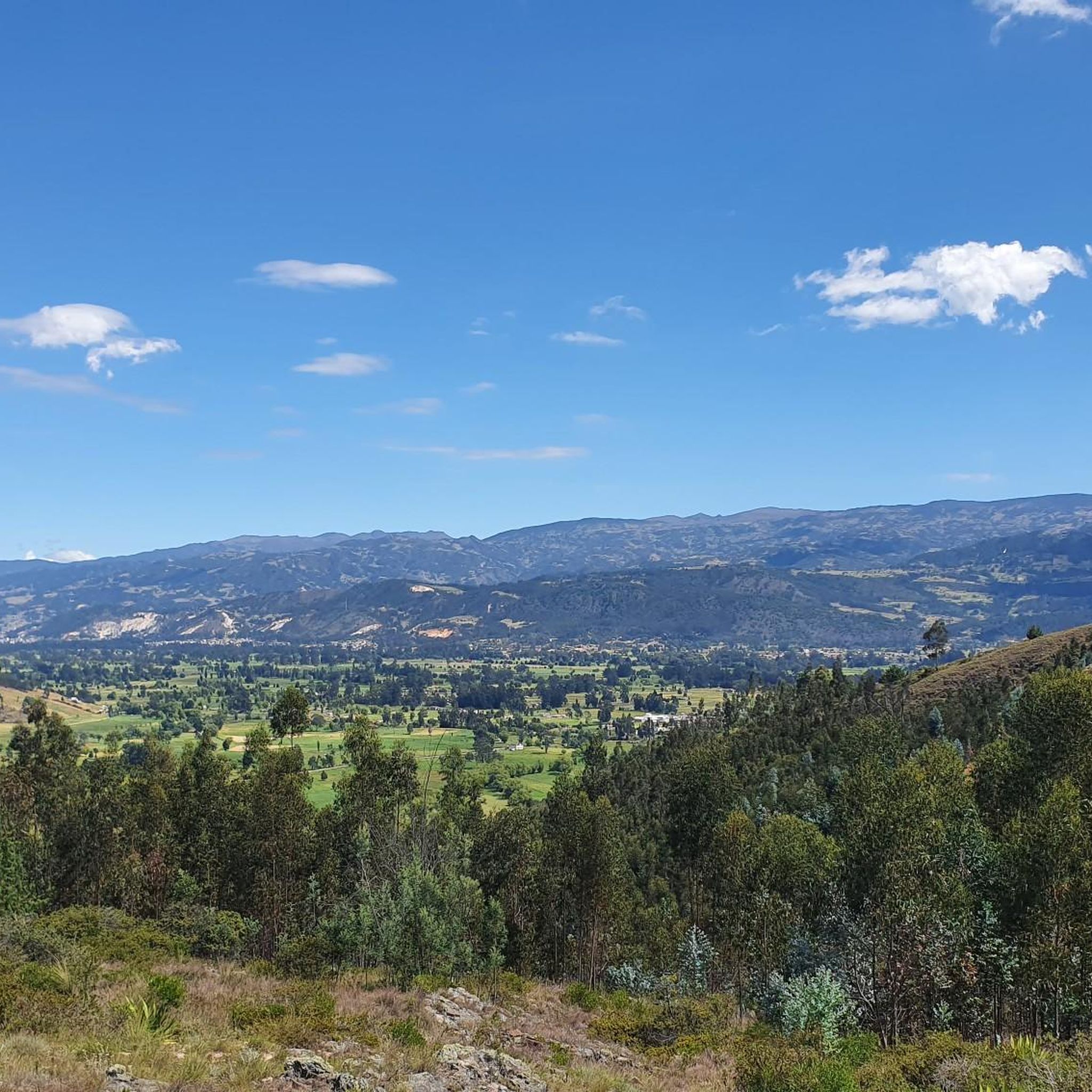
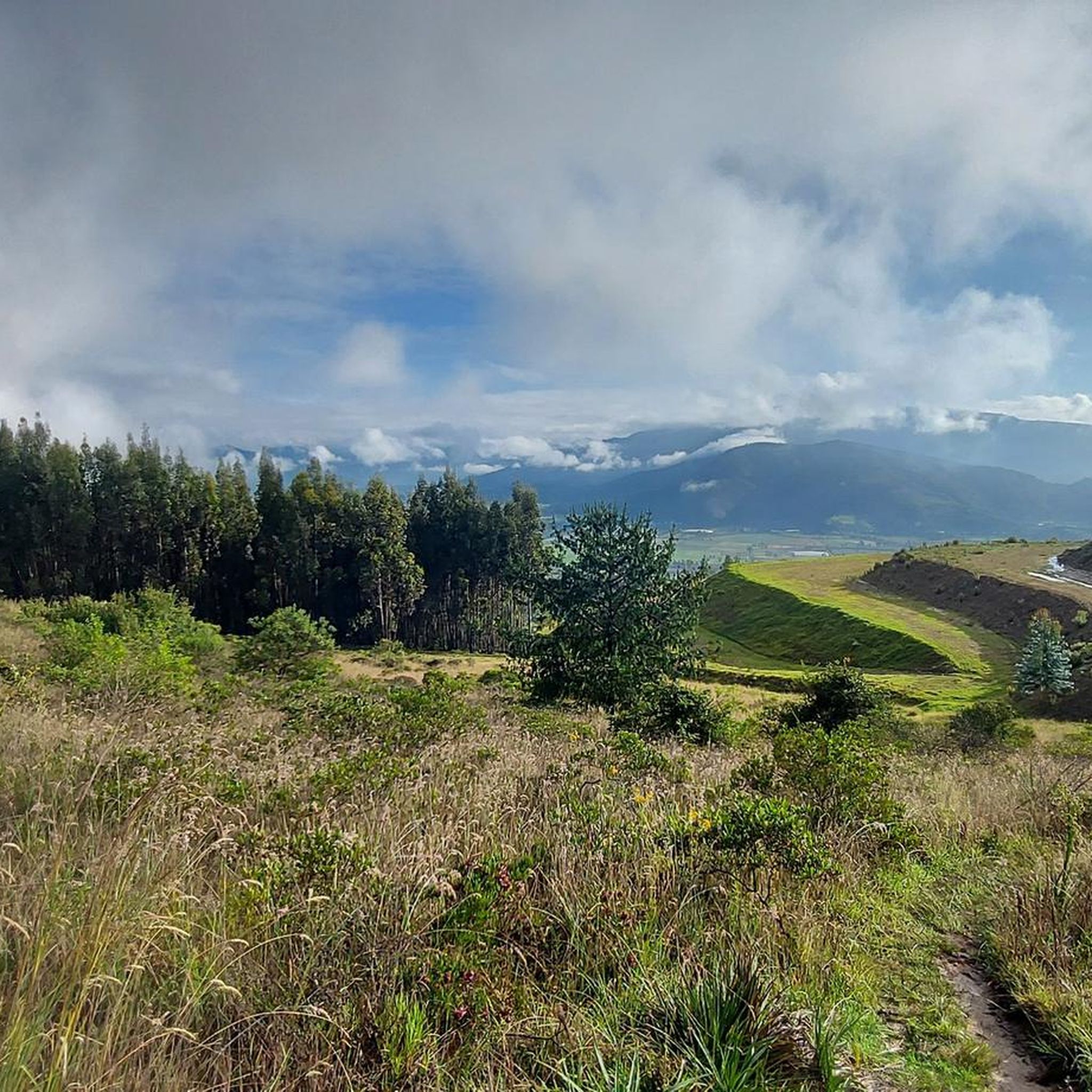
Mountain biking in Firavitoba offers diverse landscapes across the Altiplano Cundiboyacense in Colombia's Boyacá department. The region features a mix of plains and mountainous areas, providing varied terrain for cyclists. Firavitoba sits at an elevation of 8,170 feet (2,490 meters) above sea level, with its highest point, Guática hill, reaching 10,591 feet (3,228 meters). This topography includes valleys and mountains, making it suitable for a range of mountain biking experiences.
Best mountain bike trails in Firavitoba
- The most popular mountain…
Last updated: July 1, 2026
4.9
(7)
23
riders
Moderate mountain bike ride. Good fitness required. Suitable for all skill levels.
5.0
(6)
24
riders
Moderate mountain bike ride. Good fitness required. Advanced riding skills necessary.

Sign up for free
5.0
(2)
17
riders
Moderate mountain bike ride. Good fitness required. Suitable for all skill levels.
5.0
(5)
18
riders
Moderate mountain bike ride. Good fitness required. Suitable for all skill levels.
10
riders
Moderate mountain bike ride. Good fitness required. Suitable for all skill levels.
Get access to more routes and recommendations from other explorers.
Sign up for free
Already have an account?
Our route recommendations are based on thousands of hikes, rides, and runs completed by other people on komoot.
Start today with a free account
Your next adventure awaits.
Login or Signup
Popular around Firavitoba
Tips from the Community

Detour to Making Biafra. At this point there is a house of the national army called the Casa del Soldado. There is a large eucalyptus.
0
0
Mechanized Artillery Battalion No 1 Tarqui. Sogamoso City.
0
0
Domes of Miguel Angel "Superman" Lopez
0
0
Beer sales. Detour to Iza through the hot springs
0
0
From this point you can divert to the path that leads to the village of El Tendido and Patrocio Alto. From the road, the climb is challenging with inclinations greater than 15% on stony terrain.
0
0
Crossroads with the road that leads to the Pantano de Vargas. To the south west it leads to 4 Esquinas to the north east it leads to the hill of Guatika
0
0
Parador next to the road. Located on the site of the old tollbooth
0
0
Top of the slope on the "Sogamoso - Pesca" route
0
0
Frequently Asked Questions
How many mountain bike trails are available in Firavitoba?
Firavitoba offers a wide selection of mountain bike trails, with over 140 routes available on komoot. These routes cater to various skill levels, including easy, moderate, and difficult options.
What kind of terrain can I expect on mountain bike trails in Firavitoba?
The terrain in Firavitoba is quite diverse, ranging from plains to mountainous areas. Situated on the Altiplano Cundiboyacense, you'll encounter a mix of valleys and mountains. Routes often feature challenging inclinations, with some sections fully paved and others more suited for mountain biking, providing a varied experience.
Are there mountain bike trails suitable for beginners in Firavitoba?
Yes, Firavitoba has options for beginners. There are 11 easy mountain bike routes available, offering a gentler introduction to the region's landscapes.
What are the typical elevation changes on Firavitoba's mountain bike routes?
Firavitoba is located at an elevation of 2,490 meters (8,170 ft) above sea level, with its highest point, Guática hill, reaching 3,228 meters (10,591 ft). This varied topography means routes often include significant elevation gains. For example, the Las Cruces de Firavitoba – Curies Summit loop from Iza involves over 630 meters of ascent.
Are there any circular mountain bike routes in Firavitoba?
Yes, many mountain bike routes in Firavitoba are designed as loops, allowing you to start and finish in the same location. Examples include the Fruit Shop & Pastry Shop – 10 de Agosto Street, Pesca loop from Firavitoba and the Cyclists' Stop in Pesca – Iza loop from Sogamoso.
What interesting landmarks or natural features can I see along the mountain bike trails?
Firavitoba's trails offer access to several notable points of interest. You might encounter natural features like Lake Tota, the Lagunita Rock Formation, or the Fossil Rocks. Man-made landmarks include the Monument to the Lancers of the Vargas Swamp. You can also ride towards significant points like Curies Summit, known for its challenging climbs.
What do other mountain bikers enjoy most about the trails in Firavitoba?
The mountain bike trails in Firavitoba are highly rated by the komoot community, with an average score of 4.9 stars from over 300 reviews. Users often praise the diverse landscapes, the challenging inclinations, and the variety of routes that cater to different skill levels, from scenic loops to demanding climbs.
Are there any viewpoints along the mountain bike routes in Firavitoba?
Yes, the region's varied topography provides several opportunities for panoramic views. You can find viewpoints such as Viewpoint to Sogamoso - Ruchical, offering stunning vistas of the surrounding valleys and mountains.
Is it possible to find challenging mountain bike routes in Firavitoba?
Absolutely. Firavitoba is known for its challenging terrain, with 33 difficult routes available. The region's high elevation and significant climbs, such as those found on the way to Curies Summit, provide ample challenge for experienced mountain bikers. Some routes feature inclinations of up to 15%.
What is the best time of year to go mountain biking in Firavitoba?
Firavitoba's location on the Altiplano Cundiboyacense means it experiences dynamic atmospheric conditions. While specific seasonal recommendations aren't provided, the diverse landscapes are generally enjoyable year-round. It's always advisable to check local weather forecasts before heading out.
Are there any family-friendly mountain bike trails in Firavitoba?
While many routes offer challenging sections, the presence of 11 easy trails suggests there are options suitable for families or those looking for a less strenuous ride. These routes often explore the local area with a mix of paved and unpaved sections, providing a pleasant experience for all.
Are there any specific areas known for mountain biking in Firavitoba?
Beyond the general region, areas like Finca Los Alisos and Cerro de Montenoa are highlighted as prime spots for biking and nature walks. Routes like "Alto de Curies" and "Crucero Surtipan" are also popular among cyclists, offering varied terrain and challenging sections.
Most popular routes in Firavitoba
Most popular attractions in Firavitoba

Get inspired with the komoot mobile app


Explore more
Browse the best MTB trails in other regions.
