The best road cycling routes in Cerinza
4.6
(10)
306
riders
6
rides
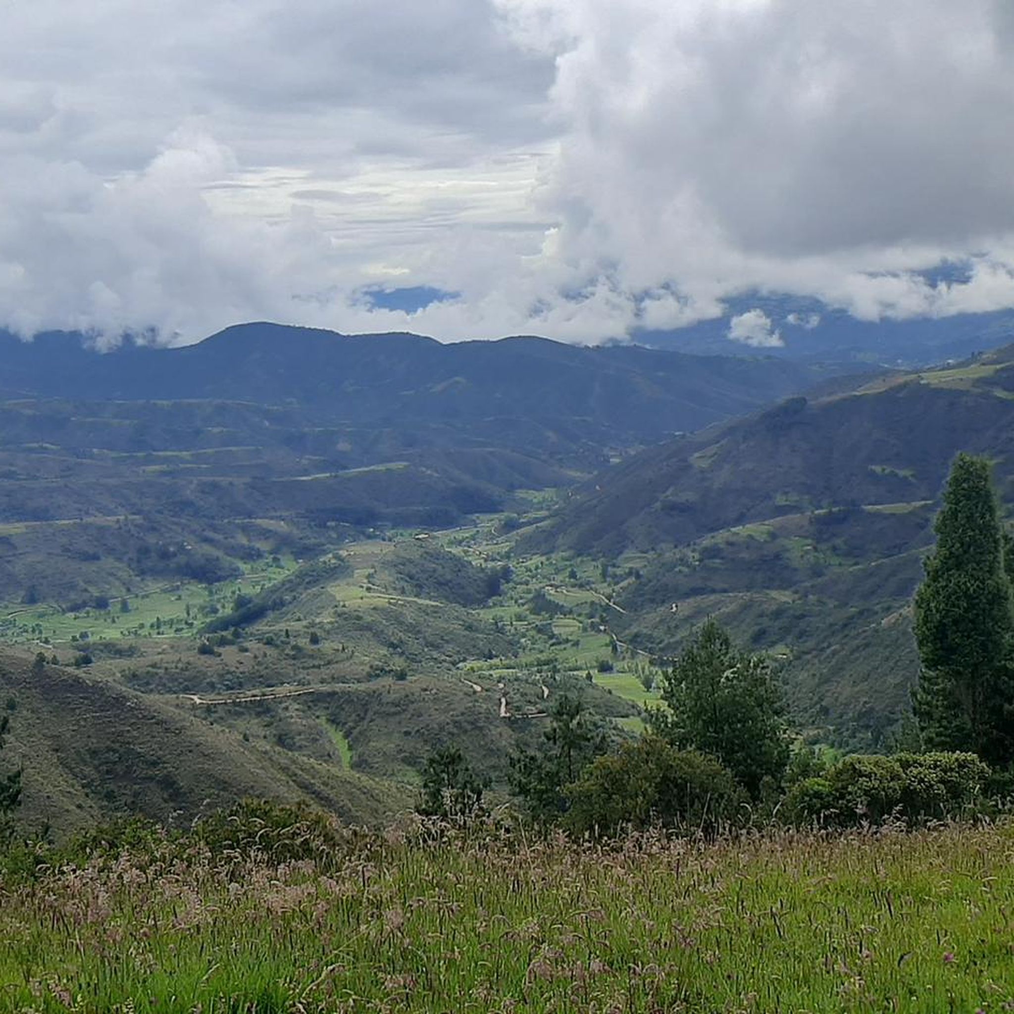
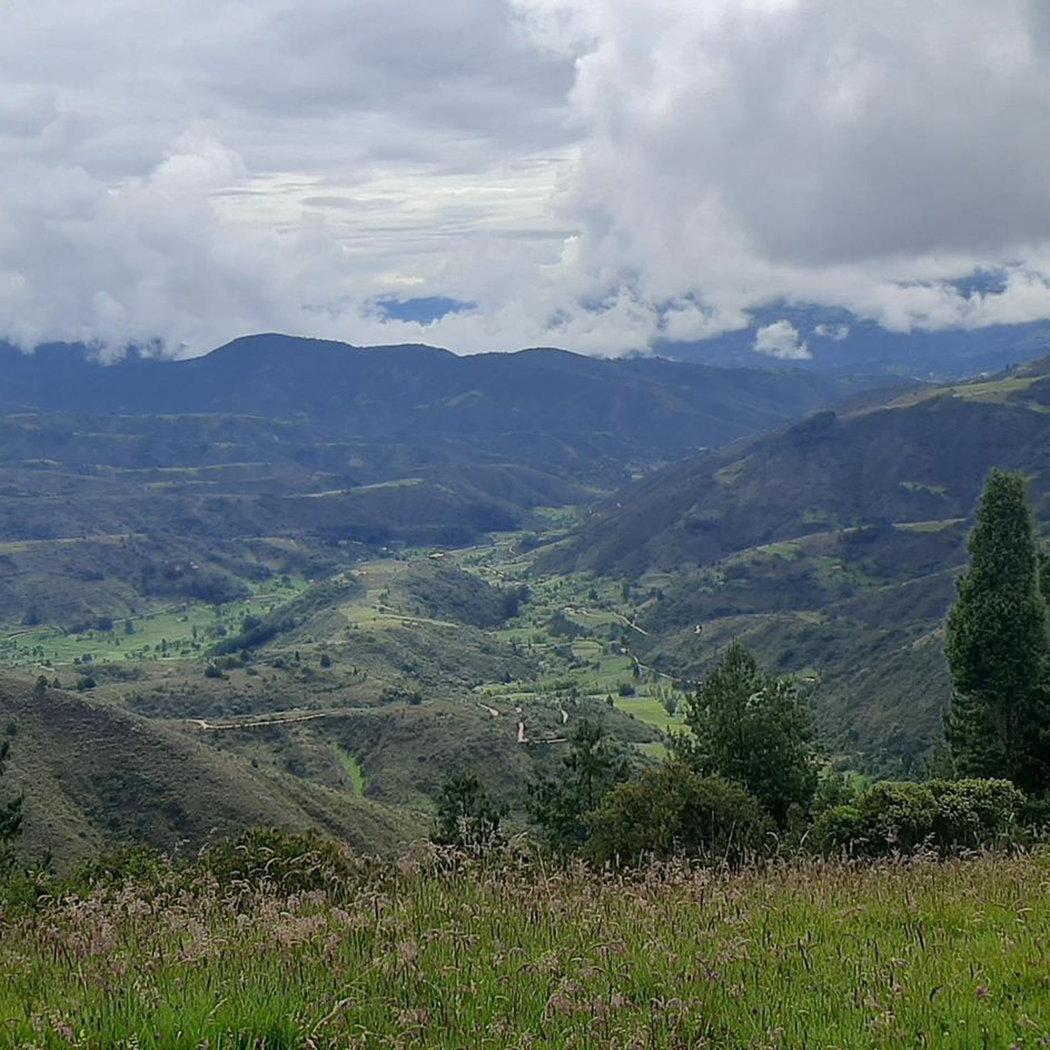
Road cycling in Cerinza, located in Colombia's mountainous Boyacá Department, offers routes characterized by high-altitude terrain and notable climbs. The region's elevation, around 2,750 meters (9,020 ft), contributes to a cool climate suitable for strenuous activities. Cyclists can expect challenging ascents and descents through high-Andean landscapes, providing panoramic views. The area features a variety of road cycling routes with significant elevation gains.
Best road cycling routes in Cerinza
- The most popular road cycling route is Tibasosa Ecological Park – Villa…
Last updated: July 2, 2026
5.0
(3)
110
riders
49.8km
02:35
530m
530m
Moderate road ride. Good fitness required. Some segments of this route may be unpaved and difficult to ride.
5.0
(2)
96
riders
Moderate road ride. Good fitness required. Some segments of this route may be unpaved and difficult to ride.

Sign up for free
5.0
(3)
48
riders
18.8km
00:58
260m
260m
Easy road ride. Great for any fitness level. Mostly well-paved surfaces and easy to ride.
3.0
(1)
15
riders
37.0km
02:10
600m
600m
Moderate road ride. Good fitness required. Mostly well-paved surfaces and easy to ride.
2
riders
59.3km
04:11
1,610m
1,610m
Hard road ride. Very good fitness required. Mostly well-paved surfaces and easy to ride.
Our route recommendations are based on thousands of hikes, rides, and runs completed by other people on komoot.
Start today with a free account
Your next adventure awaits.
Login or Signup
Popular around Cerinza
Tips from the Community

I did it by diverting onto an unpaved route from Santa Rosa de Viterbo, a good option if you want to avoid traffic on the main road, however, it is recommended on MTB or Gravel.
0
0

Central park with a beautiful cathedral in the center of Bethlehem.
0
0
Summit between the municipalities of Santa Rosa de Viterbo and Belén. Elevation close to 3000 meters above sea level
0
0
Beautiful park in the municipality of Belén.
0
0
Stop between the municipalities of Santa Rosa de Viterbo and Cerinza. Elevation 2974 meters above sea level.
0
0
Playground in the Villa del Rosario sector. There are gym type machines.
0
0
Medieval castle-themed park. As of May 2023 it is practically abandoned. Even the playground is very run down.
0
0
Children's playground in the sector of La Culebrera. There are gym type machines.
0
0
Frequently Asked Questions
What kind of terrain and difficulty can I expect on Cerinza's road cycling routes?
Cerinza's road cycling routes are characterized by high-altitude terrain and significant climbs, typical of the mountainous Boyacá Department. You'll find options ranging from easy to difficult. The region's elevation, around 2,750 meters (9,020 ft), means routes often feature notable ascents and descents through high-Andean landscapes. For example, routes like KM 8 Alto de Santa Ana – Garden View in Colombia loop from Barrio Bolivariano are rated as difficult, involving substantial elevation gains.
Are there any easy road cycling routes suitable for beginners in Cerinza?
Yes, Cerinza offers routes suitable for beginners. For instance, the Manuel Rincón – Inés Becerra loop from Santa Rosa de Viterbo is rated as easy. This 11.7-mile (18.8 km) trail leads through the local countryside and can typically be completed in under an hour, offering a good introduction to road cycling in the area.
What are some notable landmarks or viewpoints I can see along the road cycling routes in Cerinza?
Road cycling in Cerinza offers panoramic views of the high-Andean landscape. You can encounter significant mountain passes like Puerta de Cuche, Alto de Tobasía, and Alto del Portachuelo. The region also features viewpoints such as View of Duitama, providing impressive vistas of the surrounding areas.
What is the best time of year for road cycling in Cerinza?
Cerinza, being at an elevation of 2,750 meters (9,020 ft), is known as one of the coldest towns in Colombia, offering a refreshingly cool climate. This makes it suitable for strenuous activities like road cycling year-round, as the cooler temperatures can be more comfortable for intense climbs. However, it's always advisable to check local weather forecasts for specific conditions before planning your ride.
What do other road cyclists enjoy most about road cycling in Cerinza?
The road cycling routes in Cerinza are highly rated by the komoot community, with an average score of 4.7 stars from over 170 reviews. Cyclists frequently praise the challenging climbs, the rewarding high-Andean landscapes, and the extensive views offered on routes like the Garden View in Colombia – Manuel Rincón loop from Santa Rosa de Viterbo.
Are there any road cycling routes that offer a good challenge for experienced riders?
Experienced riders will find plenty of challenging routes in Cerinza. The region is known for its notable climbs, with several ascents categorized as Cat. 2, 3, and 4. Routes like the Tibasosa Ecological Park – Villa del Rosario Park loop from Santa Rosa de Viterbo, a 39.1-mile (62.9 km) trail, navigate varied terrain with significant elevation changes, providing a robust workout.
What are the options for parking when road cycling in Cerinza?
While specific dedicated cycling parking facilities are not detailed, many routes in Cerinza, such as those starting from Santa Rosa de Viterbo or Belén, typically offer local parking options within the towns or near the route start points. It is recommended to check local regulations or inquire with local establishments upon arrival for the most convenient and secure parking.
Can I reach Cerinza with public transport if I bring my bicycle?
Public transport options to Cerinza with bicycles can vary. Generally, inter-municipal buses in Colombia may allow bicycles, often for an additional fee or if space permits, especially for longer journeys. It's best to contact the specific bus company in advance to confirm their policy regarding bicycle transport to Cerinza.
Are there any cafes or accommodation options in Cerinza that are friendly to cyclists?
Cerinza, as a town in a popular cycling region, likely has local cafes and guesthouses. While specific cyclist-friendly establishments are not detailed, the cool climate and scenic routes attract outdoor enthusiasts, suggesting that local businesses are generally welcoming. It's advisable to look for local 'hospedajes' or 'cafeterías' upon arrival.
Are there any circular road cycling routes in Cerinza?
Yes, many of the road cycling routes in Cerinza are designed as loops, offering a complete circular journey. Examples include the Alto del Portachuelo – Garden View in Colombia loop from Belén, which provides a moderate 36.1-kilometer (22.4-mile) ride, and the Garden View in Colombia – Manuel Rincón loop from Santa Rosa de Viterbo.
What is the average elevation gain on road cycling routes in Cerinza?
Due to Cerinza's mountainous location, road cycling routes typically feature significant elevation gains. For example, a moderate route like the Tibasosa Ecological Park – Villa del Rosario Park loop from Santa Rosa de Viterbo involves an elevation gain of approximately 670 meters (2,200 ft). More difficult routes can have even greater ascents, such as the KM 8 Alto de Santa Ana – Garden View in Colombia loop from Barrio Bolivariano with nearly 1,000 meters (3,280 ft) of climbing.
Are there any specific regulations or permits required for road cycling in Cerinza?
There are no specific permits mentioned for general road cycling in Cerinza. However, it's always good practice to be aware of local traffic laws and respect private property. If you plan to venture into specific protected areas or ecological trails, it's advisable to check for any local regulations or entry requirements for those particular zones.
Most popular routes in Cerinza
Most popular attractions in Cerinza

Get inspired with the komoot mobile app


Explore more
Browse the best Road cycling routes in other regions.
