The best running trails in San Vicente
4.8
(5)
66
runners
2
runs
Jogging in San Vicente offers a variety of running routes through diverse landscapes. The region features trails that traverse natural areas, including paths near significant rock formations and through parklands. Runners can expect varied terrain, from moderate to more challenging sections, with some routes featuring notable elevation changes. These running routes provide opportunities to explore the natural surroundings of San Vicente.
Best jogging routes in San Vicente
- The most popular jogging route is Running loop from The Rock of Guatape…
Last updated: July 1, 2026
4.5
(4)
39
runners
17.1km
01:52
290m
290m
Hard run. Very good fitness required. Mostly paved surfaces. Suitable for all skill levels.
11
runners
17.6km
01:52
110m
110m
Hard run. Very good fitness required. Mostly paved surfaces. Suitable for all skill levels.

Sign up for free
5
runners
11.8km
01:18
150m
150m
Moderate run. Good fitness required. Mostly paved surfaces. Suitable for all skill levels.
5.0
(1)
6
runners
9.69km
01:04
130m
130m
Moderate run. Good fitness required. Mostly paved surfaces. Suitable for all skill levels.
2
runners
6.25km
00:45
130m
130m
Moderate run. Good fitness required. Mostly paved surfaces. Suitable for all skill levels.
Our route recommendations are based on thousands of hikes, rides, and runs completed by other people on komoot.
Start today with a free account
Your next adventure awaits.
Login or Signup
Popular around San Vicente
Tips from the Community


Frequently Asked Questions
How many running routes are available in San Vicente?
San Vicente offers a selection of running routes, with komoot currently featuring 5 distinct trails. These routes vary in length and difficulty, providing options for different running preferences.
What is the typical length and duration of running trails in San Vicente?
The running trails in San Vicente vary in length. For example, the Running loop from The Rock of Guatape is approximately 10.6 miles (17.1 km) and takes about 1 hour 52 minutes. Another option, the Running loop from El Peñol, is shorter at about 3.9 miles (6.3 km) and can be completed in around 45 minutes.
Are there any moderate running routes for those who prefer less challenging runs?
Yes, while some routes are difficult, San Vicente also features moderate running options. The San Antonio de Pereira Park loop from Rionegro is a moderate 7.3 miles (11.8 km) trail that leads through park areas, offering a less strenuous experience. Another moderate choice is the Running loop from Rionegro, spanning about 6 miles (9.7 km).
What kind of terrain can I expect on running trails in San Vicente?
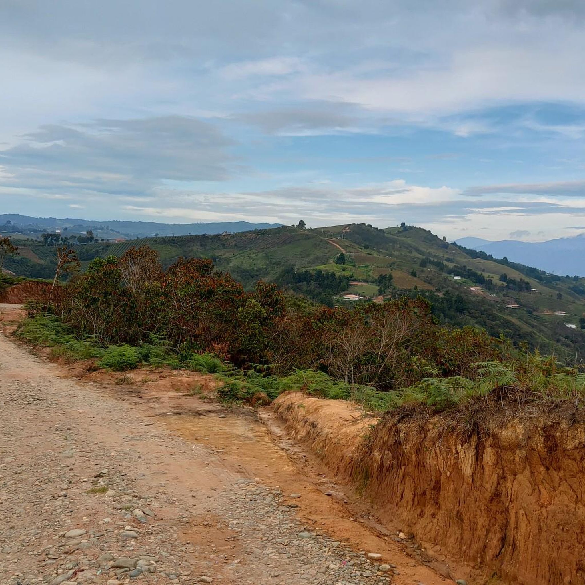
Runners in San Vicente can expect varied terrain. The region features trails that traverse natural areas, including paths near significant rock formations and through parklands. Some routes include notable elevation changes, offering a challenging workout.
Are there any scenic points or attractions along the running routes in San Vicente?
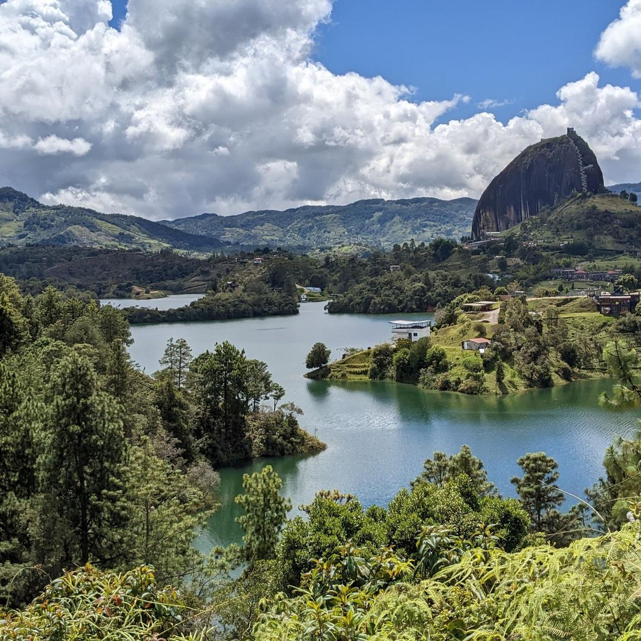
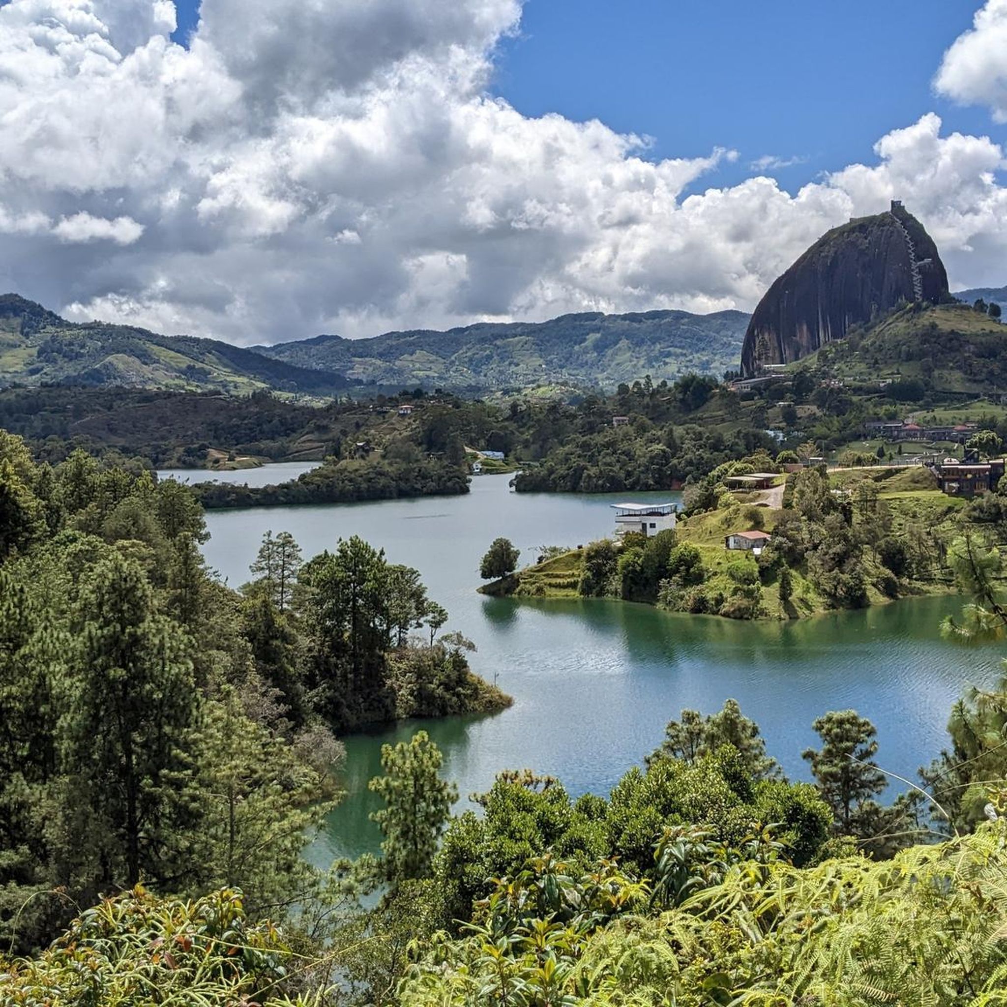
Yes, several routes offer scenic views and pass by notable attractions. For instance, trails near Guatapé may offer views of The Rock of Guatapé and the surrounding reservoir. You might also find viewpoints like the View of El Peñol Rock and the Guatapé Reservoir.
What do other runners say about the jogging experience in San Vicente?
The running routes in San Vicente are highly regarded by the komoot community, with an average rating of 4.75 stars from over 5 reviews. More than 60 runners have used komoot to explore the varied terrain, often praising the natural landscapes and challenging sections.
Are there any running loops that start from specific landmarks?
Yes, some routes are designed as loops starting from recognizable points. For example, the Running loop from Parqueadero is a popular option, offering a difficult 10.9 miles (17.6 km) path with varied terrain.
Are there any running routes suitable for families or beginners in San Vicente?
While many routes are rated as difficult, there are moderate options that might be more suitable for families or beginners looking for a less intense experience. The San Antonio de Pereira Park loop from Rionegro, a 7.3 miles (11.8 km) moderate trail through park areas, could be a good choice.
Can I find running trails that pass through park areas in San Vicente?
Absolutely. San Vicente offers running routes that lead through park environments. The San Antonio de Pereira Park loop from Rionegro is a prime example, providing a pleasant run through park areas.
What is the overall difficulty level of the running trails in San Vicente?
The running trails in San Vicente offer a mix of difficulty levels. While some routes are quite challenging and rated as 'difficult' due to significant elevation gain and varied terrain, there are also 'moderate' options available for those seeking a less strenuous run.
Are there any long-distance running options in San Vicente?
Yes, for runners looking for longer distances, San Vicente has several options. The Running loop from The Rock of Guatape is 10.6 miles (17.1 km), and the Running loop from Parqueadero is 10.9 miles (17.6 km), both offering substantial distances for experienced runners.
Most popular routes in San Vicente
Most popular attractions in San Vicente

Get inspired with the komoot mobile app


Explore more
Browse the best Running Trails & Routes in other regions.
