The best cycling routes in El Sopetrán
5.0
(4)
54
riders
5
rides
Touring cycling in El Sopetrán offers routes through mountainous terrain and canyons, providing varied elevations for cyclists. The region, located in the Antioquia department of Colombia, features lush greenery and tropical fruit plantations. Many routes offer views of the Cauca River Canyon, a significant geographical feature. El Sopetrán's landscape includes both challenging ascents and exhilarating downhill stretches.
Best touring cycling routes in El Sopetrán
- The most popular touring cycling route is Narrow Path loop from Ciudadela Premium, a 33.5…
Last updated: July 1, 2026
5.0
(1)
32
riders
53.9km
03:41
920m
920m
Hard bike ride. Very good fitness required. Mostly paved surfaces. Suitable for all skill levels.
8
riders
41.4km
02:59
690m
690m
Hard bike ride. Very good fitness required. Mostly paved surfaces. Suitable for all skill levels.

Sign up for free
7
riders
53.2km
04:56
1,700m
1,700m
Hard bike ride. Very good fitness required. Mostly paved surfaces. Suitable for all skill levels.
5.0
(3)
5
riders
17.3km
01:09
220m
220m
Moderate bike ride. Good fitness required. Mostly paved surfaces. Suitable for all skill levels.
2
riders
31.6km
02:18
460m
460m
Hard bike ride. Very good fitness required. Mostly paved surfaces. Suitable for all skill levels.
Our route recommendations are based on thousands of hikes, rides, and runs completed by other people on komoot.
Start today with a free account
Your next adventure awaits.
Login or Signup
Popular around El Sopetrán
Frequently Asked Questions
What is the general difficulty level of touring cycling routes in El Sopetrán?
Touring cycling in El Sopetrán is generally challenging due to its mountainous terrain and canyons. Most routes feature significant elevation changes, with 4 out of 5 routes rated as difficult. There is also one moderate route available for those seeking a less strenuous ride.
Are there any circular touring cycling routes in El Sopetrán?
Yes, several touring cycling routes in El Sopetrán are loops, allowing you to start and end at the same point. Examples include the Narrow Path loop from Ciudadela Premium, the Steep Hill – Narrow Path loop from Paso Real, and the Bike loop from Puente El Tonusco.
What kind of landscapes and natural features can I expect to see while cycling in El Sopetrán?
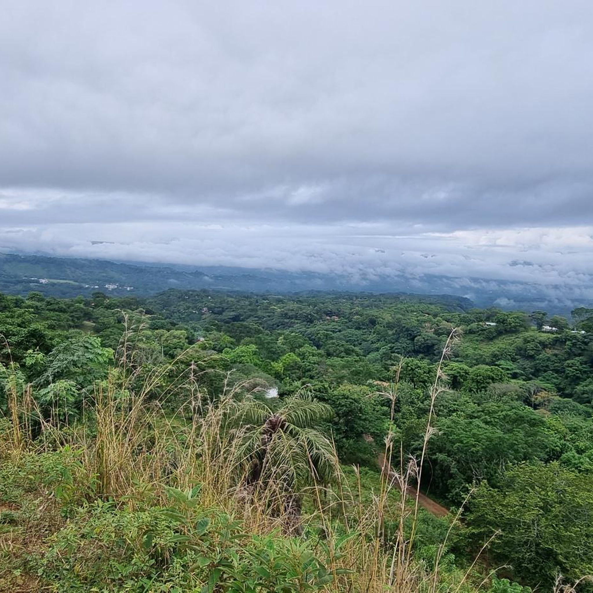
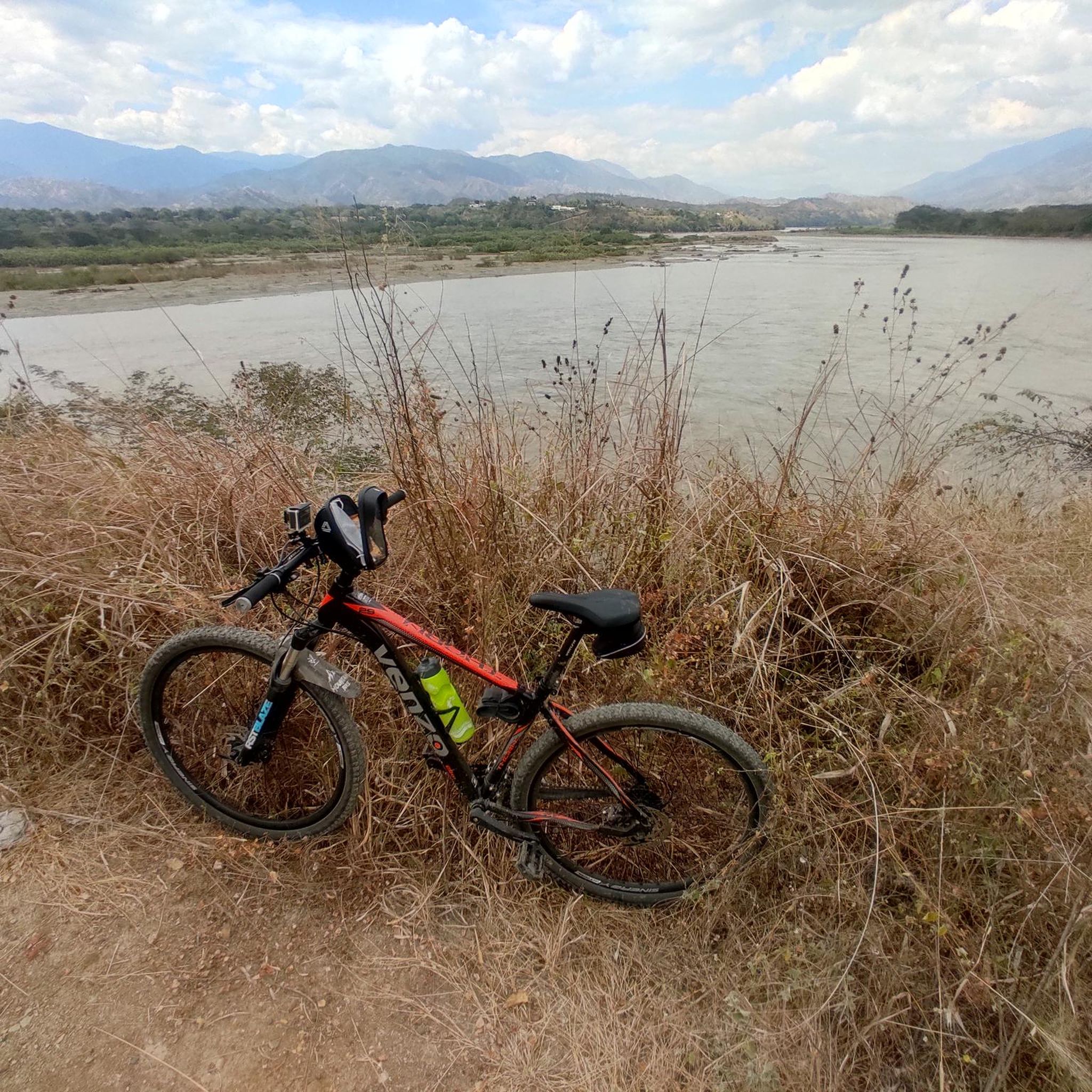
El Sopetrán offers diverse and scenic landscapes. You'll encounter spectacular mountains and canyons, lush greenery, and tropical fruit plantations. Many routes provide panoramic views of the Cauca River Canyon. Natural attractions like the Salto del Burro (Burro's Waterfall) and the Quebrada la Sopetrana stream also add to the area's natural allure.
What is the best time of year for touring cycling in El Sopetrán?
El Sopetrán enjoys a tropical climate with warm temperatures year-round, averaging around 24.9 °C (76.8 °F). This makes it comfortable for outdoor pursuits like touring cycling throughout the year. However, it's always advisable to check local weather forecasts for any specific rain patterns before your trip.
Are there any family-friendly touring cycling options in El Sopetrán?
While many routes are rated difficult, the Bike loop from Puente El Tonusco is a moderate 17.3 km (10.7 miles) trail that leads through rural paths and green surroundings. This route, taking about 1 hour 8 minutes, could be a suitable option for families looking for a less intense ride.
What are some notable landmarks or points of interest along the cycling routes?
Beyond the natural beauty, you might encounter historical routes that were once ancestral paths. In the town center, the main park, La Ceiba, with its majestic Ceiba tree, and the Minor Basilica of Nuestra Señora de la Asunción offer cultural stops. While specific komoot highlights are not available for these routes, the region's ecotourism focus ensures a rich natural and cultural experience.
What do other touring cyclists say about their experience in El Sopetrán?
The touring cycling routes in El Sopetrán are highly rated by the komoot community, with an average score of 5.0 stars from 3 reviews. Cyclists often praise the varied terrain, the stunning views of the Cauca River, and the immersive experience of riding through tropical fruit plantations.
Are there any long-distance touring cycling routes available?
Yes, El Sopetrán offers several longer routes. The Narrow Path loop from Ciudadela Premium covers 53.9 km (33.5 miles), and the Bike loop from Santa Fe de Antioquia is 53.19 km (33.0 miles), both featuring significant elevation changes for an extended challenge.
Can I find accommodation or places to eat near the cycling routes?
El Sopetrán is known for its quality recreational parks and hostels, catering to tourists. The municipality's growing focus on ecotourism and its recognition as part of the 'Route of the Sun' suggest that amenities like cafes and restaurants are available, particularly in and around the main town center.
What kind of elevation changes should I expect on the touring cycling routes?
Expect significant elevation changes. For example, the Narrow Path loop from Ciudadela Premium involves over 900 meters of ascent and descent. Even shorter routes like the Bike loop from Puente El Tonusco still have over 200 meters of elevation gain, so be prepared for climbs and descents.
Is public transport available to reach the starting points of the cycling routes?
While specific public transport details for each route's starting point are not provided, El Sopetrán's improved accessibility, including tunnels like the West Fernando Gomez Martinez Tunnel, indicates a developing infrastructure for visitors. It is advisable to check local transport options to El Sopetrán and then to specific route starting points.
Most popular routes in El Sopetrán

Get inspired with the komoot mobile app


Explore more
Browse the best Cycling routes in other regions.
