The best road cycling routes in El Sopetrán
5.0
(3)
135
riders
5
rides
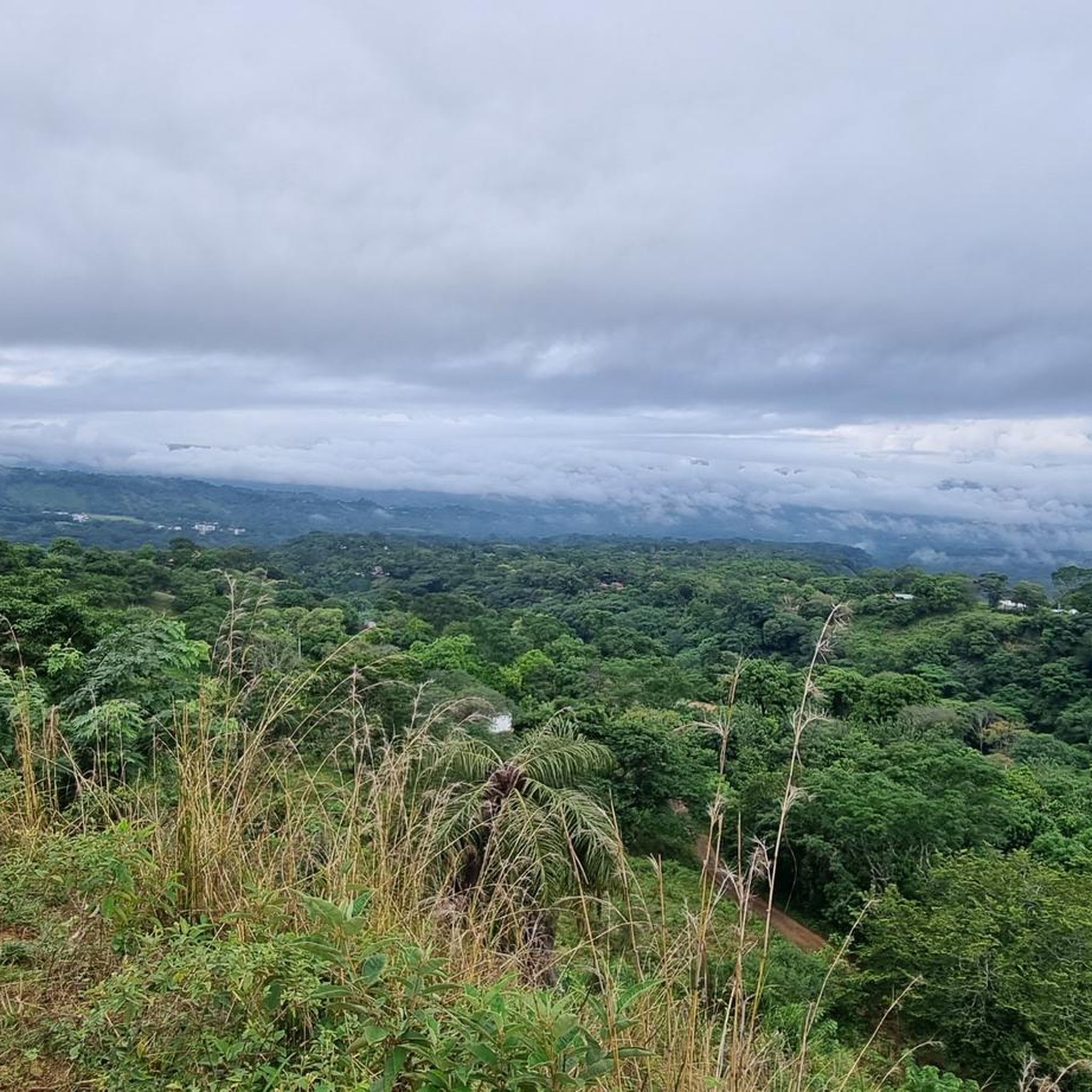
Road cycling in El Sopetrán features a landscape characterized by significant elevation changes, with routes traversing hilly terrain and offering challenging ascents. The region includes named features such as Morro Pelón, Charcos de La Espalda, and Loma de Estancia Vieja, indicating a varied topography. Road cyclists can expect routes that involve sustained climbing and descents, often forming scenic loops through the area.
Best road cycling routes in El Sopetrán
- The most popular road cycling route is Morro Pelón loop from…
Last updated: July 1, 2026
58
riders
51.3km
02:40
880m
870m
Moderate road ride. Good fitness required. Mostly well-paved surfaces and easy to ride.
5.0
(1)
37
riders
51.1km
02:49
940m
940m
Hard road ride. Very good fitness required. Mostly well-paved surfaces and easy to ride.

Sign up for free
5.0
(2)
28
riders
40.9km
02:07
580m
570m
Moderate road ride. Good fitness required. Mostly well-paved surfaces and easy to ride.
7
riders
69.1km
04:38
2,210m
2,210m
Hard road ride. Very good fitness required. Mostly well-paved surfaces and easy to ride.
5
riders
46.3km
02:58
1,360m
1,360m
Hard road ride. Very good fitness required. Mostly well-paved surfaces and easy to ride.
Our route recommendations are based on thousands of hikes, rides, and runs completed by other people on komoot.
Start today with a free account
Your next adventure awaits.
Login or Signup
Popular around El Sopetrán
Frequently Asked Questions
What is the overall difficulty level of road cycling routes in El Sopetrán?
Road cycling in El Sopetrán is characterized by significant elevation changes and hilly terrain, offering routes primarily for moderate to difficult ability levels. There are 2 moderate routes and 3 difficult routes available.
Are there any easy or beginner-friendly road cycling routes in El Sopetrán?
The road cycling routes in El Sopetrán are generally challenging, featuring substantial elevation gains and varied topography. Currently, there are no routes classified as easy, making the area more suitable for cyclists with some experience.
What kind of distances and elevation gains can I expect on road cycling routes in El Sopetrán?
Routes in El Sopetrán typically range from around 25 to 43 miles (40 to 69 km) in distance. You can expect significant elevation gains, with some routes featuring over 2,200 meters of climbing, such as the difficult Loma de Estancia Vieja – Alto Contento loop from San Jerónimo.
Are there circular road cycling routes available in El Sopetrán?
Yes, many of the road cycling routes in El Sopetrán are designed as scenic loops. Examples include the popular Morro Pelón loop from San Jerónimo and the challenging Charcos de La Espalda – Morro Pelón loop from Santa Fe de Antioquia.
What do other road cyclists enjoy the most about road cycling in El Sopetrán?
The area is highly rated by the komoot community, with an average score of 5.0 stars from over 3 reviews. Cyclists often praise the challenging ascents, scenic loops, and varied hilly terrain that define the region's routes.
Where can I find challenging road cycling routes in El Sopetrán?
For a challenging ride, consider routes like the Loma de Estancia Vieja – Alto Contento loop from San Jerónimo, which covers 42.9 miles (69.1 km) with over 2,200 meters of elevation gain, or the Charcos de La Espalda – Lago loop from Ciudadela Premium, a difficult 29 miles (46.6 km) route.
How many road cycling routes are there in El Sopetrán?
There are 5 road cycling routes available in El Sopetrán, offering a range of moderate to difficult challenges for cyclists.
What are the typical features of the landscape for road cycling in El Sopetrán?
The landscape in El Sopetrán is characterized by significant elevation changes, with routes traversing hilly terrain. You'll encounter named features such as Morro Pelón, Charcos de La Espalda, and Loma de Estancia Vieja, indicating a varied and often demanding topography.
Is it possible to download GPX tracks for road cycling routes in El Sopetrán?
Yes, all routes on komoot, including those in El Sopetrán, offer GPX downloads. You can access the GPX file for any route directly from its tour page, such as the Morro Pelón loop from San Jerónimo, to use with your navigation device.
Are there any specific areas or landmarks that the road cycling routes pass through?
Many routes in El Sopetrán navigate through areas around prominent features like Morro Pelón and Charcos de La Espalda. For instance, the Charcos de La Espalda – Morro Pelón loop from Santa Fe de Antioquia specifically highlights these natural landmarks.
What is the best season for road biking in El Sopetrán?
While specific seasonal data isn't provided, given the region's hilly and varied terrain, it's generally advisable to check local weather conditions before planning your ride. Avoiding the peak of the rainy season or extreme heat will likely offer the most comfortable experience.
Most popular routes in El Sopetrán

Get inspired with the komoot mobile app


Explore more
Browse the best Road cycling routes in other regions.
