The best walks and hikes around Landkreis München
4.5
(11615)
114,551
hikers
5,278
hikes
Hiking around Landkreis München offers access to varied landscapes, from riverine paths to the foothills of the Bavarian Alps. The region is characterized by the Isar River, which provides numerous trails along its banks, and the extensive Forstenrieder Park, a large mixed deciduous woodland. While the highest peaks are in neighboring districts, the southern parts of Landkreis München are close to the Alps, with elevations reaching 703 meters in Schäftlarn. This strategic location also provides access to several major lakes, offering diverse hiking experiences.
Best hiking trails around Landkreis München
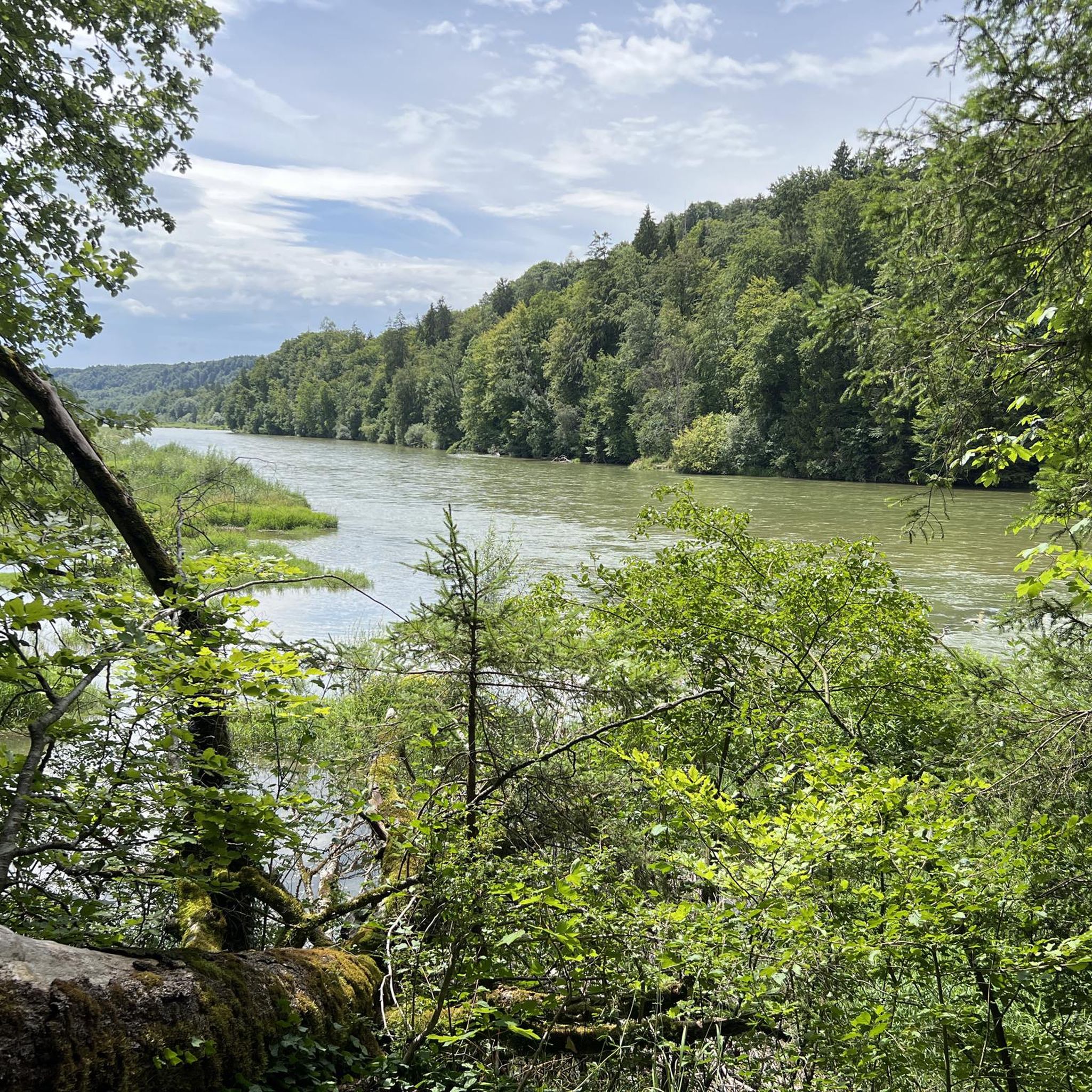
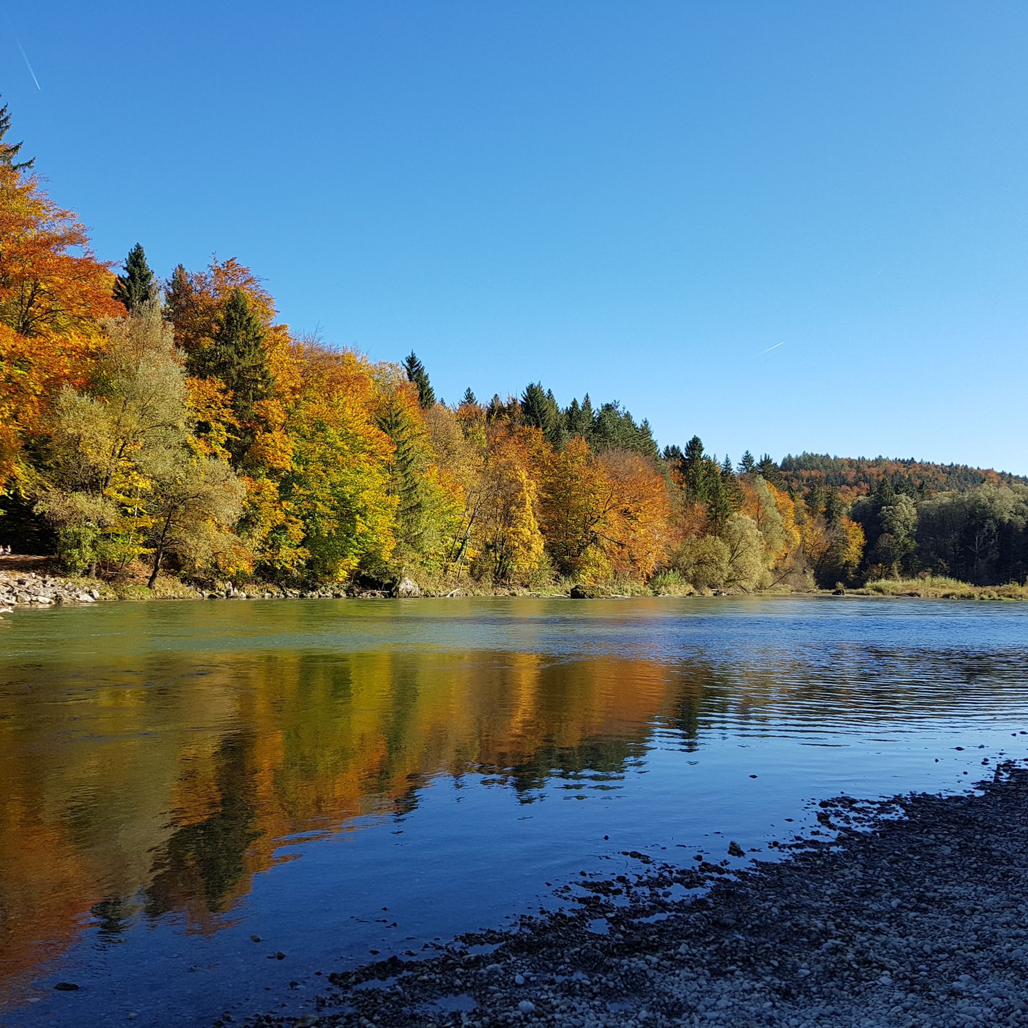
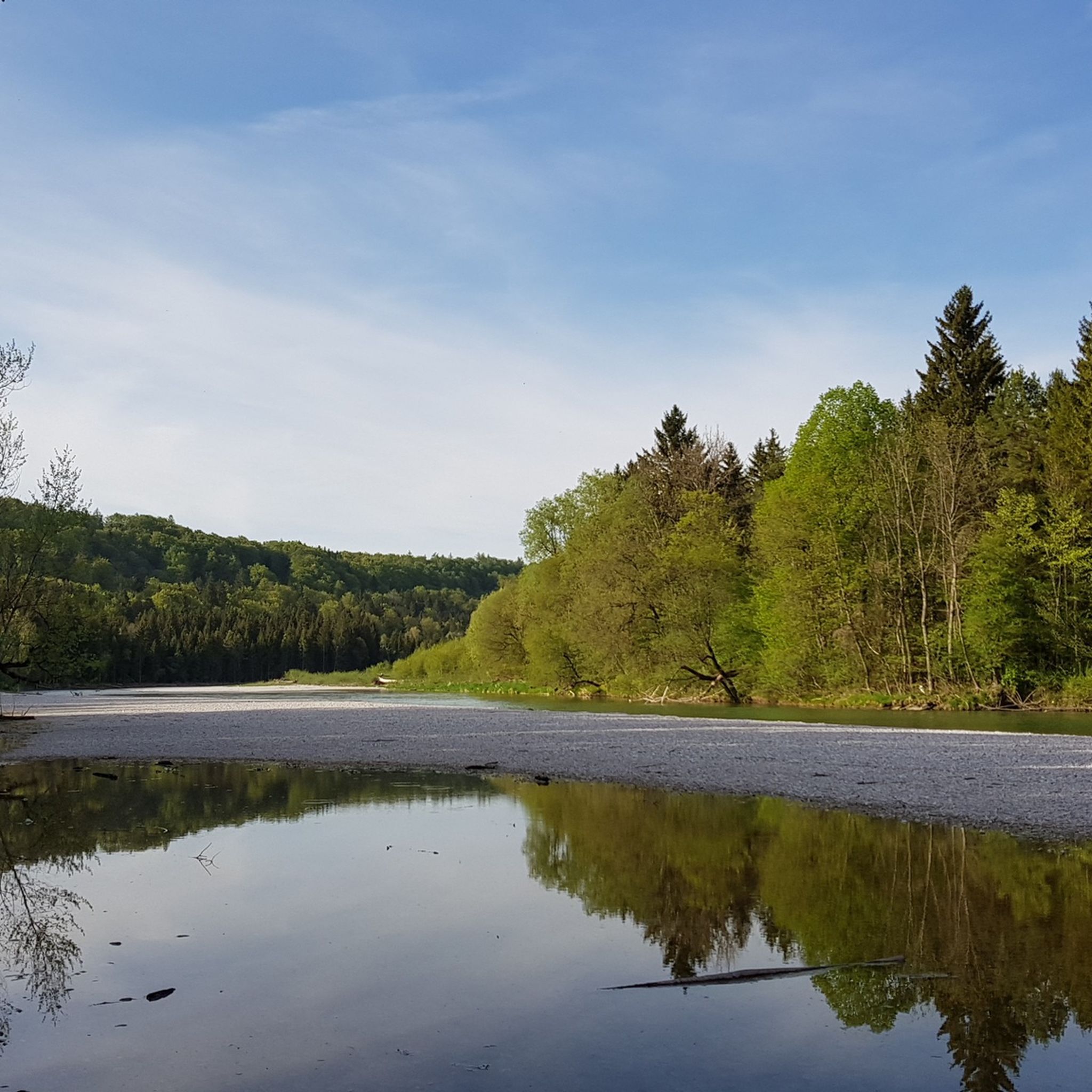
- The most popular hiking route is Wild Isar River – View of the Georgenstein loop from Baierbrunn, a 2.9 miles (4.7 km) trail that takes 1 hour 19 minutes to complete, offering views along the Isar River.
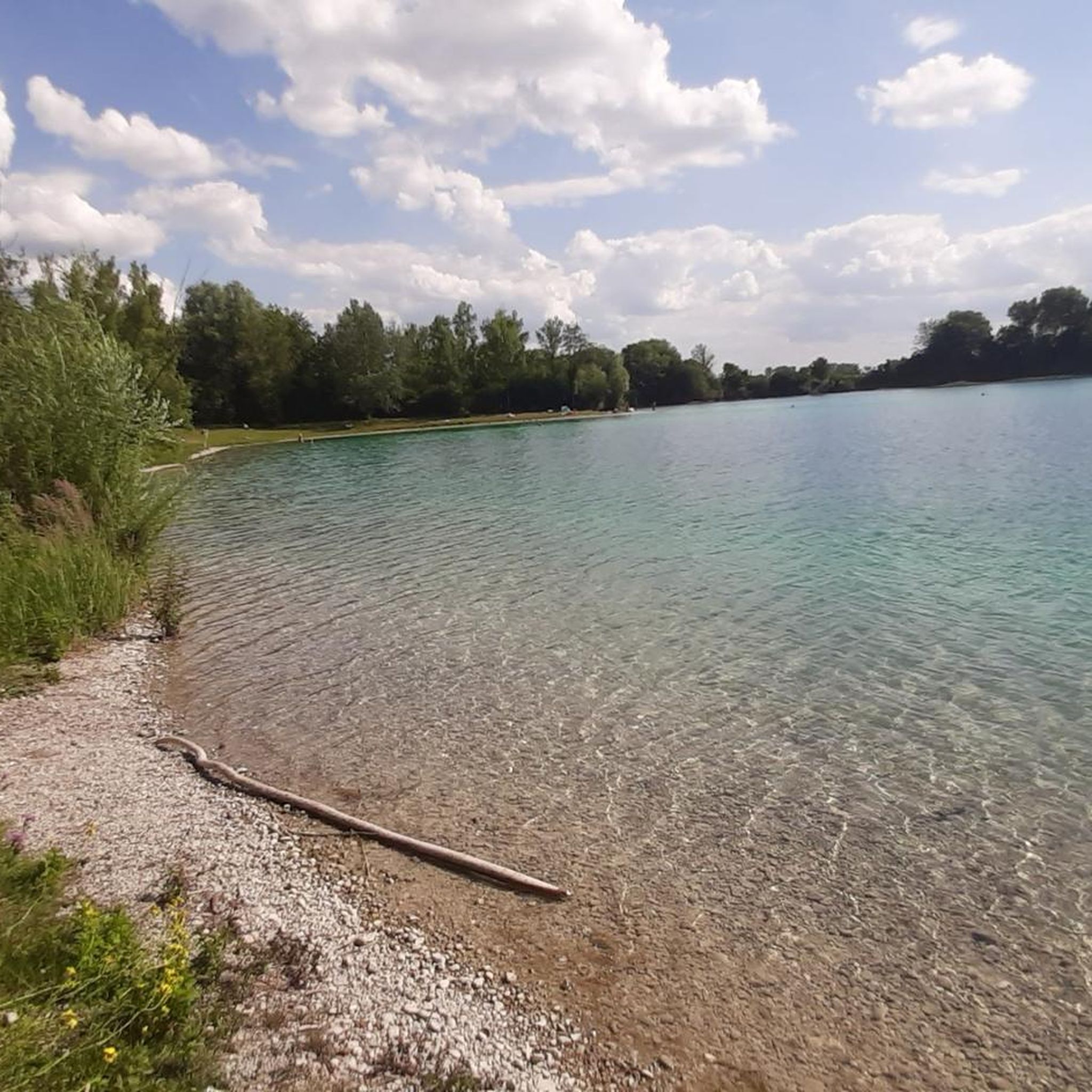
- Another top favourite among local hikers is Hollerner Lake – Hollerner Lake loop from Unterschleißheim, an easy 3.8 miles (6.1 km) path. This route features scenic views around Hollerner Lake.
- Local hikers also love the View of the Georgenstein – Wild Isar River loop from Höllriegelskreuth, a 4.6 miles (7.3 km) trail leading through river landscapes and offering views of the Georgenstein, often completed in about 2 hours.
- Hiking around Landkreis München is defined by the Isar River's riverside paths, the woodlands of Forstenrieder Park, and proximity to the Bavarian Alps foothills. The network offers options for different ability levels, from easy strolls to moderate ascents.
- The routes in Landkreis München are highly rated by the komoot community with an average score of 4.5 stars from over 10,000 reviews. More than 100,000 hikers have used komoot to explore Landkreis München's varied terrain.
Last updated: October 4, 2026
4.6
(119)
1,172
hikers
6.91km
01:46
30m
30m
Easy hike. Great for any fitness level. Easily-accessible paths. Suitable for all skill levels.
4.6
(135)
469
hikers
4.57km
01:16
80m
80m
Easy hike. Great for any fitness level. Easily-accessible paths. Suitable for all skill levels.

4.4
(125)
967
hikers
6.01km
01:32
20m
20m
Easy hike. Great for any fitness level. Easily-accessible paths. Suitable for all skill levels.
974m
00:15
10m
0m
Easy hike. Great for any fitness level. Easily-accessible paths. Suitable for all skill levels.
4.7
(62)
323
hikers
Moderate hike. Good fitness required. Easily-accessible paths. Suitable for all skill levels.
4.2
(101)
335
hikers
7.30km
01:59
110m
110m
Easy hike. Great for any fitness level. Easily-accessible paths. Suitable for all skill levels.
4.6
(39)
547
hikers
Moderate hike. Good fitness required. Easily-accessible paths. Suitable for all skill levels.
4.5
(32)
291
hikers
Moderate hike. Good fitness required. Easily-accessible paths. Suitable for all skill levels.
4.5
(114)
379
hikers
9.64km
02:29
40m
40m
Moderate hike. Good fitness required. Easily-accessible paths. Suitable for all skill levels.
4.6
(117)
362
hikers
11.1km
02:56
100m
100m
Moderate hike. Good fitness required. Mostly accessible paths. Sure-footedness required.
Get access to more routes and recommendations from other explorers.
Already have an account?
Our route recommendations are based on thousands of hikes, rides, and runs completed by other people on komoot.
Start today with a free account
Your next adventure awaits.
Popular around Landkreis München
Other adventures around Landkreis München


Tips from the Community

Nice place to rest with a view of the Isar
0
0
Beautiful path directly along the Isar
0
0
Beautiful place to rest with a view of the Isar
0
0
One of the rare open areas on the Isar with a few benches
0
0

The Munich Residenz with its Hofgarten. A beautiful place to linger and enjoy the tranquility despite the hustle and bustle of the city around it.
2
0

It forms the western end of the central Schloss Canal and was designed in the early 18th century according to plans by the French garden artist Dominique Girard, a student of André Le Nôtre, the famous creator of the Gardens of Versailles. The water flows down in stages over several terraces, creating an impressive baroque water feature.
9
0
Beautiful water areas in Westpark
2
0

The ponds are very beautiful, but as you can see not the leavings of the visitors or their four-legged companions and also the paths are heavily polluted by too many geese that are also fed by visitors.
1
0
Frequently Asked Questions
How many hiking trails are available in Landkreis München?
Landkreis München offers a vast network of hiking opportunities, with over 5,300 routes recorded on komoot. These range from easy strolls along riverbanks to more moderate ascents, providing options for various skill levels.
Are there any easy hiking trails suitable for beginners or families in Landkreis München?
Yes, a significant portion of the trails in Landkreis München are considered easy, with over 4,000 routes falling into this category. A great option for an easy, family-friendly walk is the Hollerner Lake – Hollerner Lake loop from Unterschleißheim, which is 3.8 miles (6.1 km) long and features scenic views around the lake.
What kind of natural features or landmarks can I expect to see on hikes in Landkreis München?
Hiking in Landkreis München offers diverse scenery. You can explore the banks of the Isar River, which provides pleasant, leisurely walks with scenic views. The extensive Forstenrieder Park offers mixed deciduous woodlands. Additionally, the region provides access to beautiful lakes like Lake Starnberg. For specific natural highlights, consider visiting the Schwabinger Bach Waterfall or the Isar Cascades at Maximilian Bridge.
Are there any challenging hikes in Landkreis München for experienced hikers?
While most trails in Landkreis München are easy to moderate, the district's southern parts are close to the foothills of the Bavarian Alps, offering access to more demanding alpine hikes in neighboring areas like the Mangfall Mountains. Within the district itself, there are 66 routes classified as difficult, providing options for those seeking a greater challenge. An example of a moderate route is the View of the Georgenstein – Wild Isar River loop from Höllriegelskreuth, which is 4.6 miles (7.3 km) long.
Can I find circular hiking routes in Landkreis München?
Yes, many of the hiking trails in Landkreis München are designed as circular routes, allowing you to start and end at the same point. The Wild Isar River – View of the Georgenstein loop from Baierbrunn is a popular circular trail along the Isar River, and the Langwieder See – Langwieder Lakes loop from Langwieder See offers a pleasant circuit around the lakes.
Are there dog-friendly hiking trails in Landkreis München?
Landkreis München is generally very welcoming to dog walkers, with many trails suitable for exploring with your canine companion. The numerous paths along the Isar River and through Forstenrieder Park are popular choices for dog owners, offering plenty of space and natural surroundings. Always ensure your dog is on a leash where required and respect local wildlife.
What do other hikers enjoy most about hiking in Landkreis München?
The hiking trails in Landkreis München are highly rated by the komoot community, with an average score of 4.5 stars from over 10,000 reviews. Hikers often praise the accessibility of varied landscapes, from the tranquil riverine paths of the Isar to the peaceful woodlands of Forstenrieder Park, and the proximity to the stunning Bavarian Alps foothills.
Are there any hikes that offer views of lakes or water features?
Absolutely. Landkreis München provides excellent access to several beautiful lakes. The Hollerner Lake – Hollerner Lake loop from Unterschleißheim is a great option for lakeside views. Additionally, the district borders Lake Starnberg, and many trails offer picturesque scenery around water bodies.
Can I reach hiking trails in Landkreis München using public transport?
Yes, many hiking trails in Landkreis München are well-connected by public transport, particularly the S-Bahn network, which makes it easy to access starting points without a car. For example, Lake Starnberg is easily reachable by S-Bahn for lakeside strolls, and various routes along the Isar River are accessible from different S-Bahn stations.
Are there any hikes that pass by historical sites or cultural landmarks?
While the focus is often on natural beauty, some routes may pass by historical points of interest. For instance, the municipality of Schäftlarn, which is within Landkreis München, is home to the historic Kloster Schäftlarn (Schäftlarn Abbey). The Icking Weir – Isar-Werkkanal loop from Kloster Schäftlarn offers a hike in this area.
What is the best time of year to go hiking in Landkreis München?
Landkreis München offers hiking opportunities year-round. Spring and autumn provide pleasant temperatures and beautiful scenery with blooming flowers or vibrant fall foliage. Summer is ideal for trails near lakes or rivers, offering opportunities to cool off. Even in winter, many paths are suitable for walks, especially in the woodlands, though some higher-elevation routes might require appropriate gear if there's snow.
Most popular routes around Landkreis München
Most popular attractions around Landkreis München

Get inspired with the komoot mobile app


Didn’t find what you were looking for?
Check out more Hikes throughout Landkreis München below and find the perfect route in your destination.
Explore more
Browse the best Hikes in other regions.
