The best MTB trails around Harmannsdorf
4.5
(711)
3,048
riders
251
rides
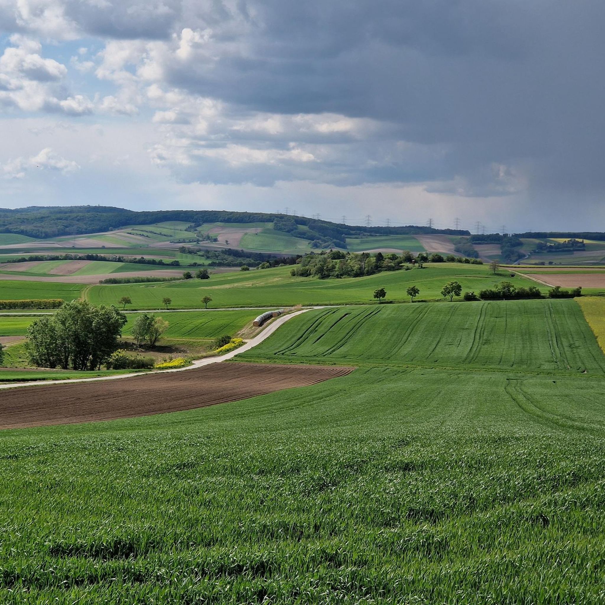
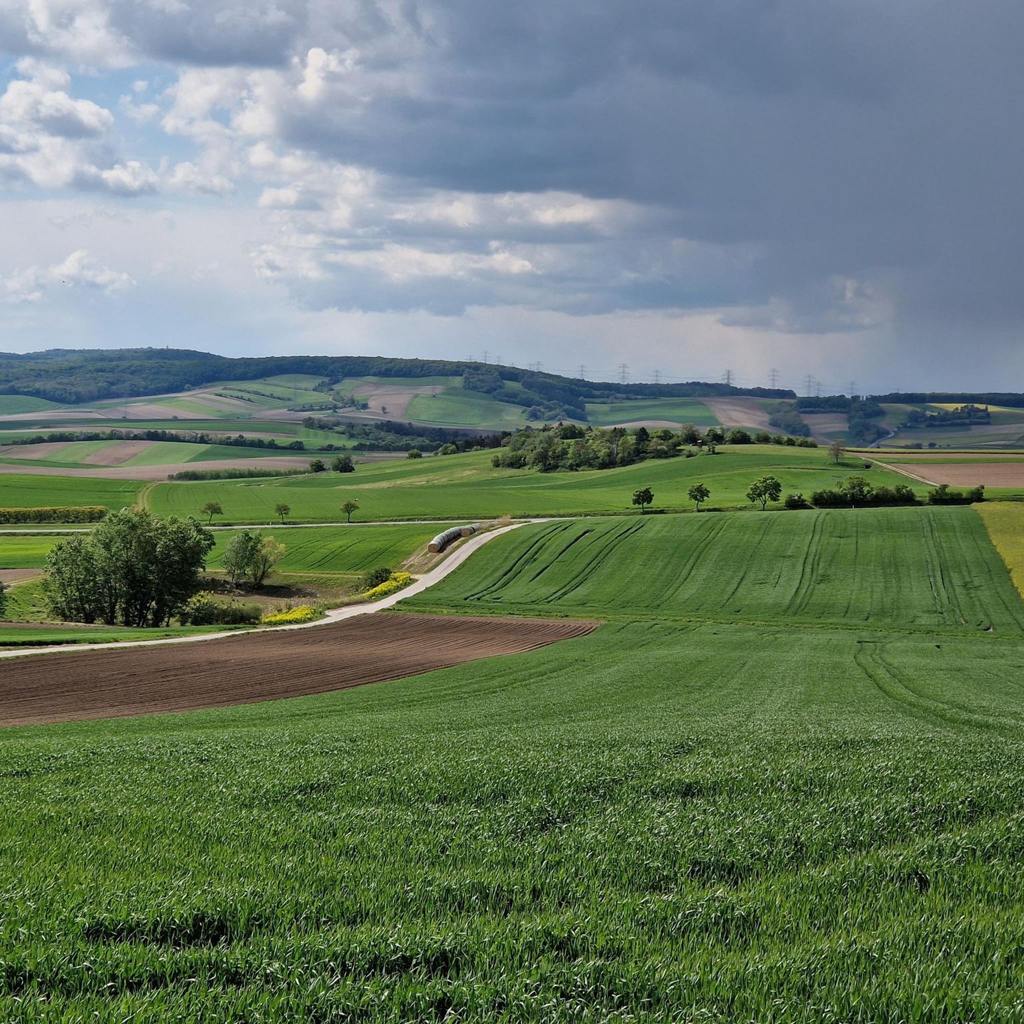
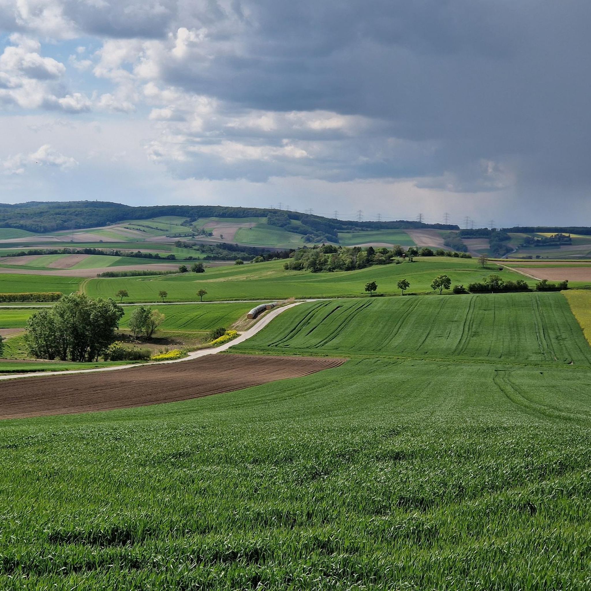
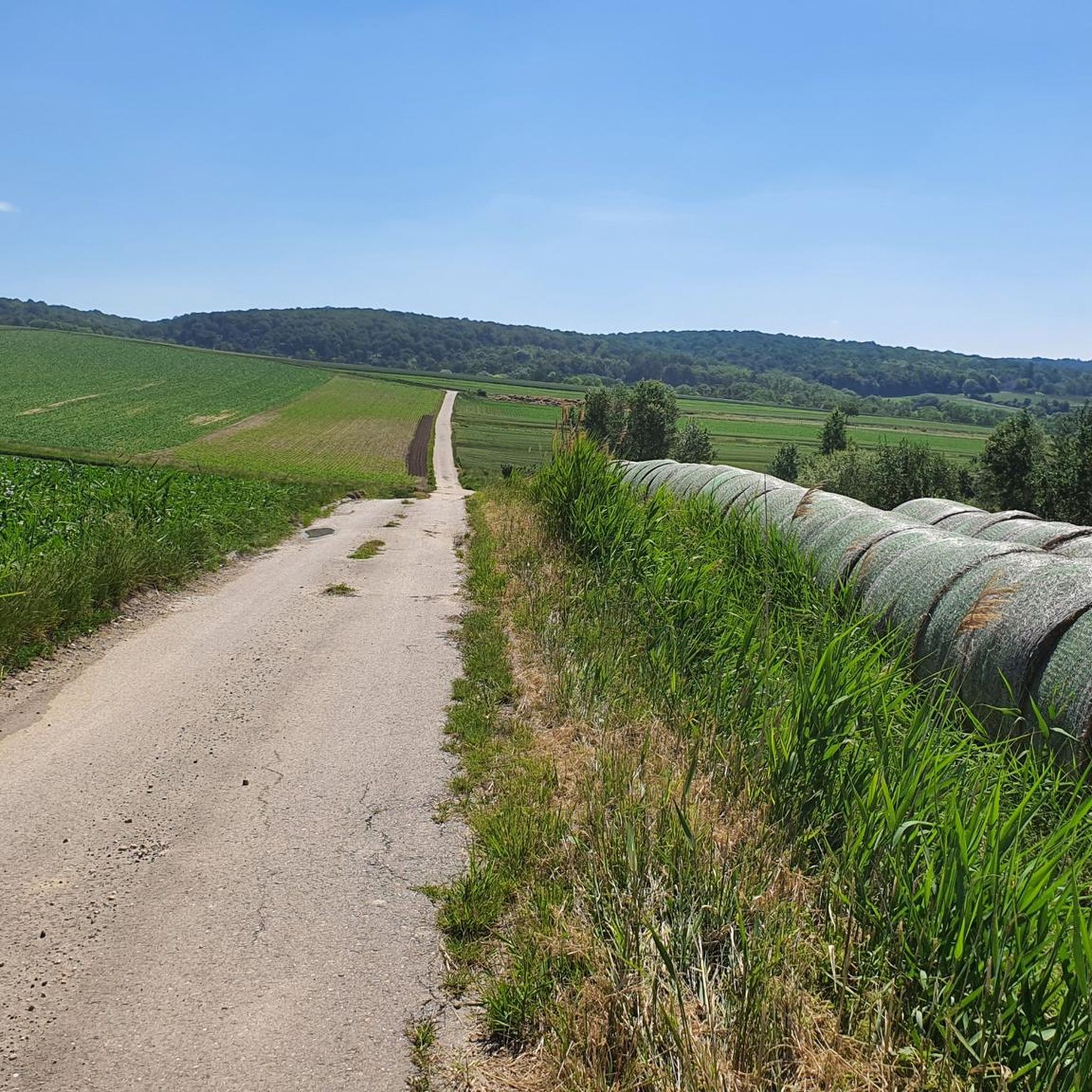
Mountain biking around Harmannsdorf offers diverse landscapes with a compelling mix of dense forests and expansive meadows. The region features a hilly panorama, with elevations ranging from 163 meters to 372 meters, providing varied topography for mountain bikers. Key natural areas like the Rohrwald and Kreuttal contribute to the extensive natural terrain available for exploration. Approximately 27.59% of Harmannsdorf is forested, ensuring ample natural trails.
Best mountain bike trails around Harmannsdorf
- The most popular mountain bike trail is Untere Innerthalen…
Last updated: July 4, 2026
4.1
(7)
30
riders
23.0km
02:10
530m
530m
Moderate mountain bike ride. Good fitness required. Advanced riding skills necessary.
5.0
(3)
19
riders
30.3km
01:42
120m
120m
Moderate mountain bike ride. Great for any fitness level. Advanced riding skills necessary.

Sign up for free
12
riders
Moderate mountain bike ride. Great for any fitness level. Advanced riding skills necessary.
12
riders
Moderate mountain bike ride. Good fitness required. Advanced riding skills necessary.
4.7
(3)
6
riders
Moderate mountain bike ride. Good fitness required. Advanced riding skills necessary.
Get access to more routes and recommendations from other explorers.
Sign up for free
Already have an account?
Our route recommendations are based on thousands of hikes, rides, and runs completed by other people on komoot.
Start today with a free account
Your next adventure awaits.
Login or Signup
Tips from the Community

The Marchfeldkanal-Radweg is a flat and scenic route, approximately 60 to 65 km long, leading from Langenzersdorf or Vienna-Floridsdorf across the Marchfeld to Schloss Hof.
1
0

Idyllic bridge. Stay on the path. Military area all around
0
0

A welcome rest stop at the beginning of the Marchfeld Canal.
5
0

Elisabethhöhe offers a stunning panoramic view over the Danube Valley and the surrounding hills. On a clear day, the view extends far across the floodplain towards Vienna and into the Weinviertel region. It's an ideal spot for a short break to enjoy the vastness and tranquility of the landscape.
6
0
The Elisabeth Column stands proudly atop Bisamberg hill, offering a beautiful view of the Danube and the surrounding countryside. A panorama unfolds between forest and open fields, encompassing the river, floodplains, and rolling hills. It's a tranquil spot, a historical monument, and a rewarding vista all in one.
6
0
From Elisabethhöhe, a sweeping view opens up across the Danube Valley with its meadows, fields, and the gently flowing Danube. On a clear day, the panorama extends far into the Weinviertel region and to the rolling hills of Lower Austria. A beautiful spot for a break to soak in the scenery and the vastness of the landscape.
1
0

The Marchfeld Canal Cycle Path is a well-developed and popular cycling route in eastern Vienna and the adjacent Lower Austria. It runs largely directly alongside the canal and offers a consistently flat route, making it particularly suitable for everyday cyclists, families, and leisure tours. The car-free route along the canal ensures a quiet and low-traffic environment. It is bordered by green spaces, waterways, and agricultural landscapes, making it a pleasant option even on warm days. The Marchfeld Canal is an artificial waterway constructed in the 1980s and 1990s. Its primary purpose is to irrigate the intensively farmed Marchfeld region, replenish groundwater, and provide flood protection. In addition, the canal improves the local climate and creates valuable habitats for plants and animals.
1
0

Currently out of service!
0
0
Frequently Asked Questions
How many mountain bike trails are available in Harmannsdorf?
Harmannsdorf offers a wide selection of mountain bike trails, with over 250 routes listed on komoot. These range in difficulty from easy to difficult, ensuring options for all skill levels.
What kind of terrain can I expect on mountain bike trails in Harmannsdorf?
The terrain in Harmannsdorf is characterized by a picturesque, hilly panorama, featuring a compelling mix of dense forests and expansive meadows. Elevations range from 163 meters to 372 meters, providing varied topography. You'll find trails through natural areas like the Rohrwald and Kreuttal, with approximately 27.59% of the municipality covered by forests.
Are there any easy mountain bike trails suitable for beginners in Harmannsdorf?
Yes, Harmannsdorf has a good selection of easier trails. Out of over 250 routes, 62 are classified as easy, making them suitable for beginners or those looking for a more relaxed ride. These often feature mostly paved surfaces.
Are there any family-friendly mountain bike trails in Harmannsdorf?
While specific family-friendly routes aren't detailed, the presence of 62 easy trails suggests many options suitable for families. These routes typically have less elevation gain and smoother surfaces, making them enjoyable for riders of varying ages and abilities.
Can I bring my dog on the mountain bike trails in Harmannsdorf?
Komoot routes generally allow dogs, but it's always best to check local regulations for specific trails or protected areas within Harmannsdorf, such as the Rohrwald or Kreuttal, to ensure dog-friendly access. Always keep your dog under control and clean up after them.
What are some notable landmarks or viewpoints I can see along the mountain bike trails?
Many trails offer scenic views. For instance, the Untere Innerthalen Trail – View from Elisabethhöhe loop from Enzersfeld provides scenic views from Elisabethhöhe. Other routes, like the Krumpenwasser – Greifenstein Power Plant loop from Stetten Fossilienwelt, pass by the Greifenstein Power Plant and offer views of Greifenstein Castle. You might also encounter cultural and historical points of interest like various parish churches, Schloss Seebarn, or the Sonnenrad.
Are there any circular mountain bike routes in Harmannsdorf?
Yes, many of the mountain bike trails in Harmannsdorf are designed as loops, offering convenient circular routes. Examples include the Marchfeld Canal – Marchfeld Canal loop from Enzersfeld, which follows the canal, and the Franzosenkreuz on Mühlratsberg – Parish Church of Großrußbach loop from Stetten Fossilienwelt.
What do other mountain bikers enjoy most about mountain biking in Harmannsdorf?
The mountain biking experience in Harmannsdorf is highly rated by the komoot community, with an average score of 4.5 stars from over 590 reviews. Riders often praise the diverse landscapes, the compelling mix of dense forests and expansive meadows, and the varied topography that caters to different skill levels.
Are there any specific trails that offer views of castles?
Yes, some trails provide glimpses of historical landmarks. For example, the Krumpenwasser – Greifenstein Power Plant loop from Stetten Fossilienwelt offers views of Greifenstein Castle. Additionally, routes looping from Obergänserndorf or Mollmannsdorf can provide views of Kreuzenstein Castle.
What are some natural features to look out for while mountain biking?
Harmannsdorf's natural beauty is defined by its hilly panorama, extensive forests like the Rohrwald and Kreuttal, and open meadows. The Mugler Bach also flows through the area, adding to the scenic natural features you can enjoy during your ride.
How can I access the mountain bike trails using public transport?
While specific public transport connections to trailheads are not detailed, the region is accessible. The Greifenstein Hydroelectric Power Plant, which is part of a popular route, provides a way to cross the Danube, suggesting points of access that might be reachable by public transport. It's advisable to check local transport schedules to specific starting points like Enzersfeld or Stetten Fossilienwelt.
Are there any places to relax or refill water bottles along the trails?
The Northern tip of the Danube Island is noted as a place to relax and refill water bottles, which could be a convenient stop if your route takes you near the Danube. For other trails, it's always recommended to carry sufficient water and snacks, especially in forested areas.
Most popular routes around Harmannsdorf
Most popular attractions around Harmannsdorf

Get inspired with the komoot mobile app


Explore more
Browse the best MTB trails in other regions.
