The 5 Most Amazing Peaks around Schwaig bei Nürnberg
Best mountain peaks around Schwaig bei Nürnberg are found in the surrounding Nürnberger Land region, as Schwaig bei Nürnberg itself is situated at a modest elevation. This area offers several elevated points, often referred to as peaks or summits, that provide views and recreational opportunities. The region is characterized by its varied terrain, including forest paths and notable natural elevations. These elevated areas are popular for hiking and enjoying nature.
Best mountain peaks around Schwaig bei Nürnberg
- The most popular…
Last updated: August 31, 2026
Moritzberg Mountain Inn
Highlight • Mountain Hut
Translated by Google •
Tip by

Schmausenbuck Tower
Highlight • Viewpoint
Translated by Google •
Tip by

Sign up now to discover places like this
Get recommendations on the best single tracks, peaks, & plenty of other exciting outdoor places.
Sign up for free
Highest Point in Nuremberg (Brunn)
Highlight • Summit
Translated by Google •
Tip by

Moritzberg Summit and Mountain Inn
Highlight • Summit
Translated by Google •
Tip by

Geierstein Summit Cross (574 m)
Highlight • Summit
Translated by Google •
Tip by

Start today with a free account
Your next adventure awaits.
Login or Signup
Popular around Schwaig bei Nürnberg
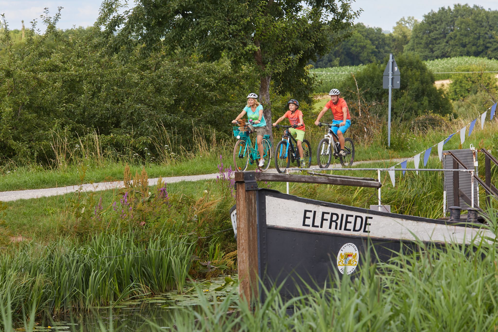
Varied family cycling routes in Nürnberger Land
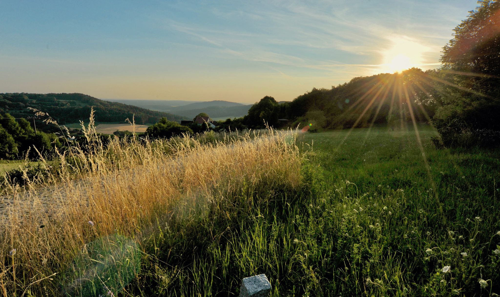
Hiking quiet paths through the Nürnberger Land in Bavaria
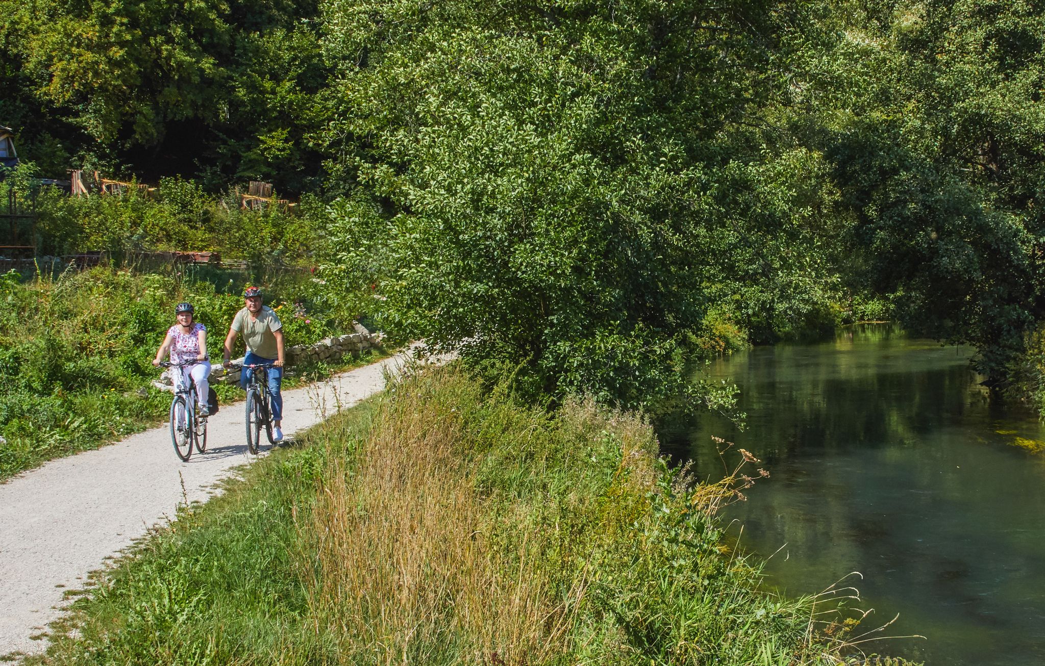
Rivers, forests, ancient castles - cycling in Nürnberger Land
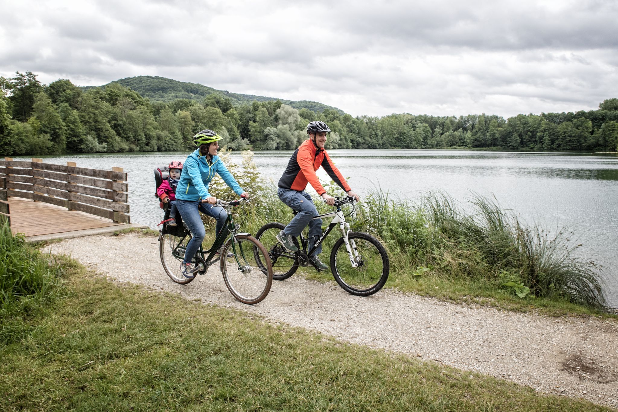
Incredible cycling in the Nuremberg region
Cycling around Schwaig bei Nürnberg
Hiking around Schwaig bei Nürnberg
Running Trails around Schwaig bei Nürnberg
Road Cycling Routes around Schwaig bei Nürnberg
MTB Trails around Schwaig bei Nürnberg
Gravel biking around Schwaig bei Nürnberg
Other adventures around Schwaig bei Nürnberg

Tips from the Community

Here, in the Brunn district, you will find the highest point in the city of Nuremberg.
0
0

The highest point in the city of Nuremberg is neither on the Kaiserburg (352 m above sea level) nor on the Schmausenbuck (390 m above sea level). Most Nuremberg residents answer these two places when asked about the highest elevation in their city. The Bavarian Surveying Authority has now clarified this question. The highest point in the city is in the Brunn district and is 408.4 m above sea level.
3
0

The tower is located on a hill and is open as an observation tower during the summer months.
12
0

The Schmausenbuck is an elevation right next to the Nuremberg Zoo, in the middle of the beautiful Reichswald. For a beautiful view high above the treetops, you can climb the historic observation tower. The Reichswaldfest takes place here every year. You can find the opening times and prices at: https://www.nuernberg.de/internet/stadtportal/behoerdenwegweiser/dienstleistung/ansichtsturm_schmausenbuck.html.
8
0

If you just want to walk a few meters in the beautiful nature, everything is right here... unfortunately the inn was closed... but the weather and the nature were perfect 🙏🦊
13
1

Summit cross Geierstein 574m above sea level NN
1
0

Highly recommended. But double the highlight.
11
1

The ascent begins with a view of the small village in the middle of the mountain, the sight gives you an idea of how steep it is. On a narrow, well-paved road, about 2 - 3 km long, which causes alpine fever in the lower area, you go up the mountain. Up to the village, the percentages rise to 11% before leveling off again. The next ramp then has 12% again. The way up stretches with alternating ramps and somewhat flatter sections. The last ramp pulls everything out of your legs again, about 200m long with 11% up to a curve. A face grins at you on the floor, then it's really crisp uphill 16% and at the end another 18% ensure a high pulse. Everything that comes after you don't notice it anymore in your legs :)
7
0
Frequently Asked Questions
What are some notable elevated points or 'peaks' near Schwaig bei Nürnberg?
While Schwaig bei Nürnberg itself is at a modest elevation, the surrounding Nürnberger Land region offers several prominent elevated areas. These include the Moritzberg Summit, known as the gateway to Franconian Switzerland, the Schmausenbuck Tower near the Nuremberg Zoo, and the Highest Point in Nuremberg (Brunn). Other notable spots are Eichelberg and Houbirg, offering various recreational opportunities and views.
Are there observation towers or viewpoints on these peaks?
Yes, several elevated points feature observation towers or offer excellent viewpoints. The Moritzberg Summit has an observation tower, and the Schmausenbuck Tower provides expansive views above the treetops. The Highest Point in Nuremberg (Brunn) also offers a view of the Brunn area, and Houbirg is noted for its breathtaking panoramic views.
Which peaks are suitable for families?
The Houbirg is particularly recommended for families due to its relatively easy accessibility and numerous viewpoints. The Moritzberg Summit is also a popular destination for families, offering a mountain inn and scenic routes.
How accessible are these peaks by car or public transport?
Access to the Moritzberg Summit by car is via a private road and requires a permit. For other areas like Schmausenbuck, parking is generally available near the Nuremberg Zoo. Public transport options vary, but many hiking trails leading to these peaks are accessible from surrounding towns.
What kind of hiking trails can I find around these elevated areas?
The Nürnberger Land region boasts over 2,000 kilometers of well-marked hiking trails, catering to various fitness levels. You can find everything from easy walks to more challenging routes. For example, the Eichelberg is incorporated into routes within the Nordic-Walking-Park Schwaig, such as the 'drei Höhen-Schleife' and 'Hirschkopf-Schleife'. You can explore many options in the Hiking around Schwaig bei Nürnberg guide.
Are there options for other outdoor activities like cycling near these peaks?
Yes, the region is popular for various outdoor activities. The Moritzberg Summit is a popular destination for cyclists. You can find numerous routes for mountain biking in the MTB Trails around Schwaig bei Nürnberg guide, and running trails in the Running Trails around Schwaig bei Nürnberg guide.
What is the highest point within the city of Nuremberg itself?
The highest terrain point within the city of Nuremberg is the Highest Point in Nuremberg (Brunn), reaching 408 meters above sea level. It offers a sense of achievement for hikers in the urban periphery.
What natural features can I expect to see on these elevated points?
You can expect to encounter diverse natural features, including dense forests, pleasant inclines, and varied terrain. Many peaks offer panoramic views of the Nürnberger Land. The Schmausenbuck Tower, for instance, is situated within the beautiful Reichswald forest.
Are there any places to eat or drink near the peaks?
Yes, the Moritzberg Mountain Inn, located on the summit of Moritzberg, offers Franconian delicacies, coffee, and cake, with a beer garden available in summer. This makes it a great spot to refuel after a hike.
What is the best time to visit the mountain peaks near Schwaig bei Nürnberg?
The elevated areas near Schwaig bei Nürnberg can be enjoyed year-round. Spring and autumn offer pleasant temperatures for hiking and vibrant natural scenery. Summer is ideal for enjoying beer gardens and longer days, while winter can provide unique opportunities for snowy walks, though some facilities might have reduced hours.
What do visitors enjoy most about the elevated areas around Schwaig bei Nürnberg?
Visitors particularly appreciate the rewarding views from the summits and observation towers, the well-maintained hiking and cycling trails, and the opportunity to connect with nature. The combination of natural beauty with amenities like mountain inns and beer gardens, especially at places like Moritzberg Summit, is highly valued by the komoot community.
Is there a 'hidden gem' among the peaks or elevated points?
While not widely known, the Geierstein Summit Cross (574 m) is described as a nice place for a picnic, though it can be a bit challenging to find, requiring a short venture through bushes parallel to the main trail.
Most popular routes around Schwaig bei Nürnberg
Most popular attractions around Schwaig bei Nürnberg

Get inspired with the komoot mobile app


Explore more
See even more amazing summits around Schwaig bei Nürnberg with these guides:
