The best road cycling routes around Schwaig bei Nürnberg
4.6
(3428)
44,257
riders
15
rides
Road cycling routes around Schwaig bei Nürnberg traverse a landscape characterized by river valleys, agricultural fields, and sections of forest roads. The region features gentle undulations with moderate elevation gains, offering varied terrain for road cyclists. Routes often follow the Pegnitz River and pass through small villages, providing a mix of open stretches and shaded areas.
Best road cycling routes around Schwaig bei Nürnberg
- The most popular road cycling route is Ottensoos Village Pond – Pegnitz River at Hohenstadt loop…
Last updated: May 28, 2026
4.7
(19)
296
riders
Easy road ride. Great for any fitness level. Mostly well-paved surfaces and easy to ride.
5.0
(2)
170
riders
56.6km
02:26
430m
430m
Moderate road ride. Good fitness required. Mostly well-paved surfaces and easy to ride.

Sign up for free
5.0
(1)
85
riders
66.2km
02:58
590m
590m
Moderate road ride. Good fitness required. Mostly well-paved surfaces and easy to ride.
46
riders
77.0km
03:31
720m
720m
Moderate road ride. Good fitness required. Mostly well-paved surfaces and easy to ride.
41
riders
Moderate road ride. Good fitness required. Some segments of this route may be unpaved and difficult to ride.
Get access to more routes and recommendations from other explorers.
Sign up for free
Already have an account?
Our route recommendations are based on thousands of hikes, rides, and runs completed by other people on komoot.
Start today with a free account
Your next adventure awaits.
Login or Signup
Popular around Schwaig bei Nürnberg
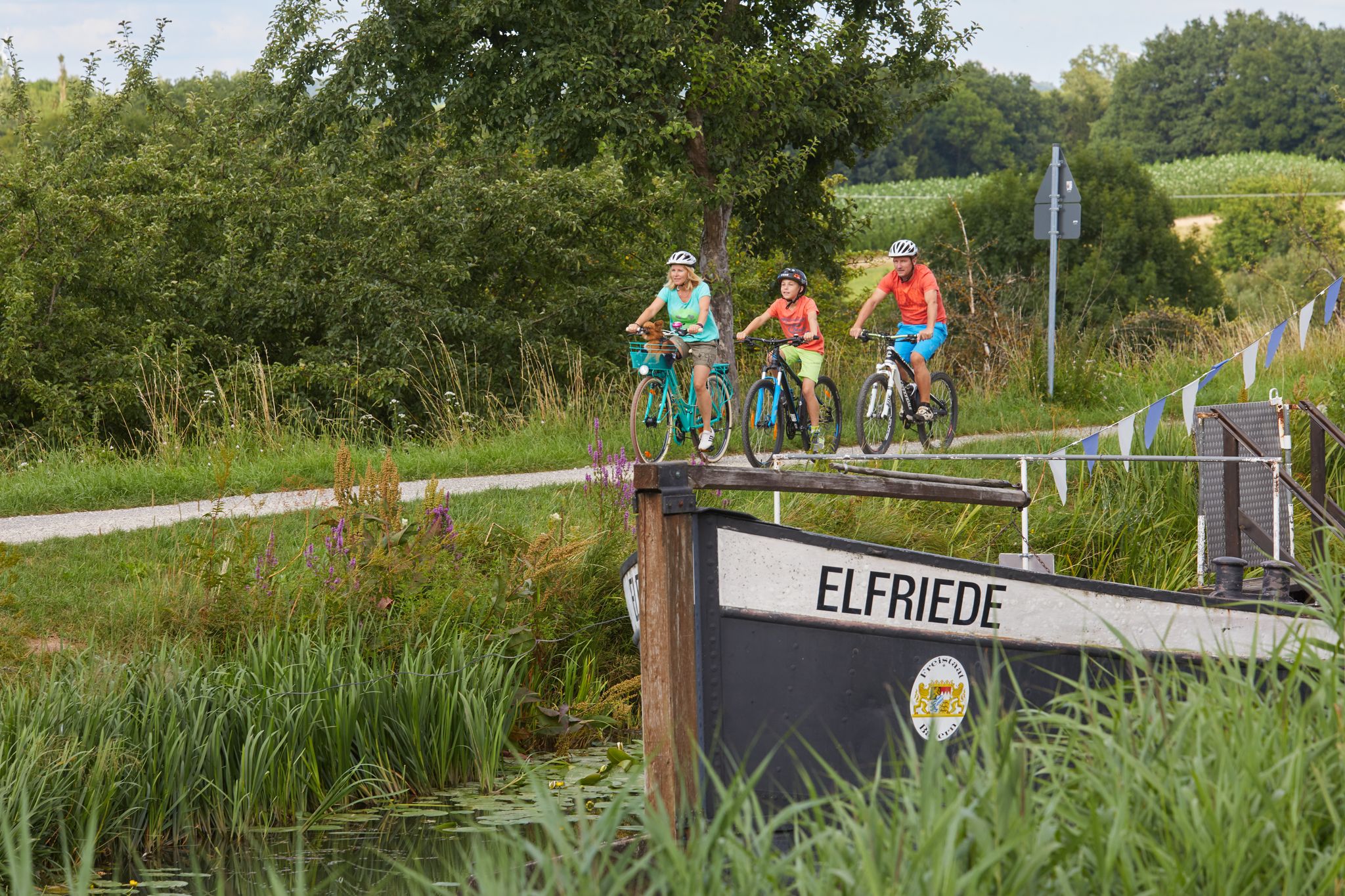
Varied family cycling routes in Nürnberger Land
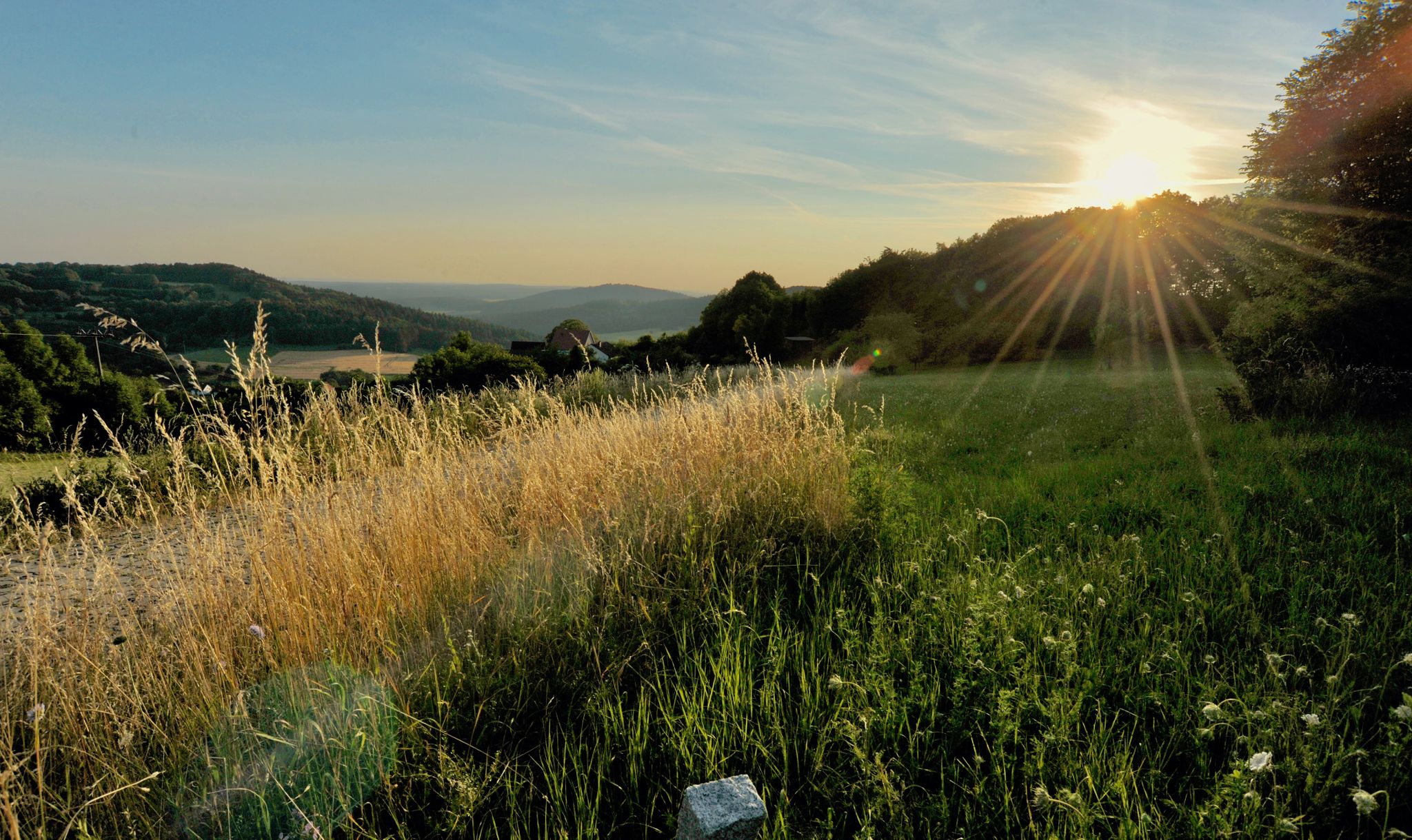
Hiking quiet paths through the Nürnberger Land in Bavaria
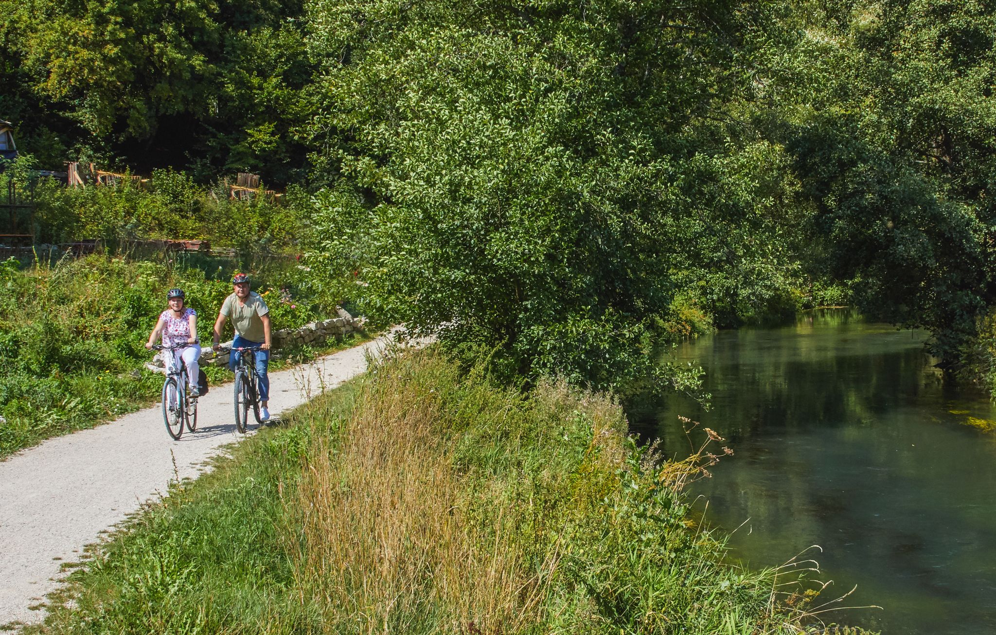
Rivers, forests, ancient castles - cycling in Nürnberger Land
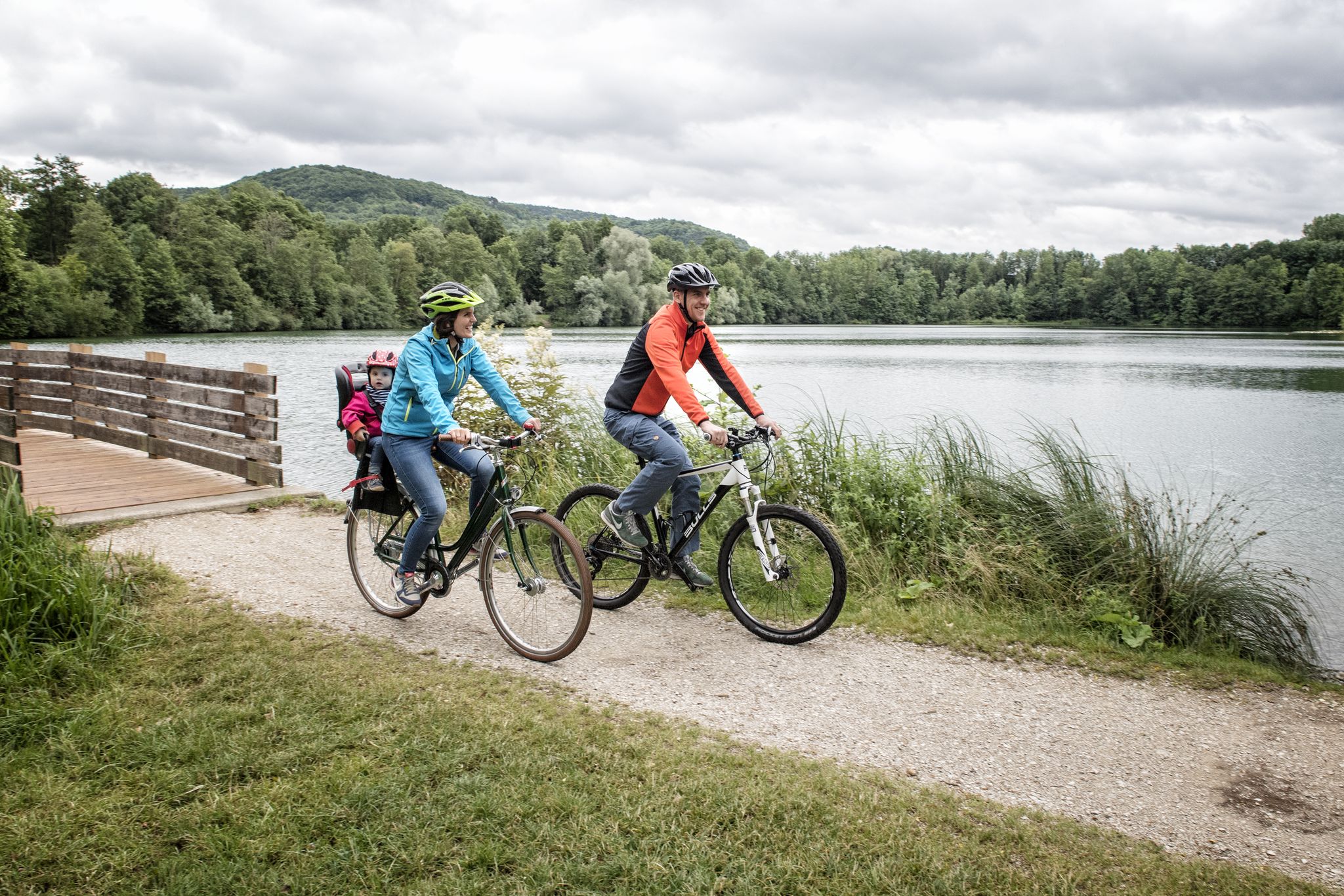
Incredible cycling in the Nuremberg region
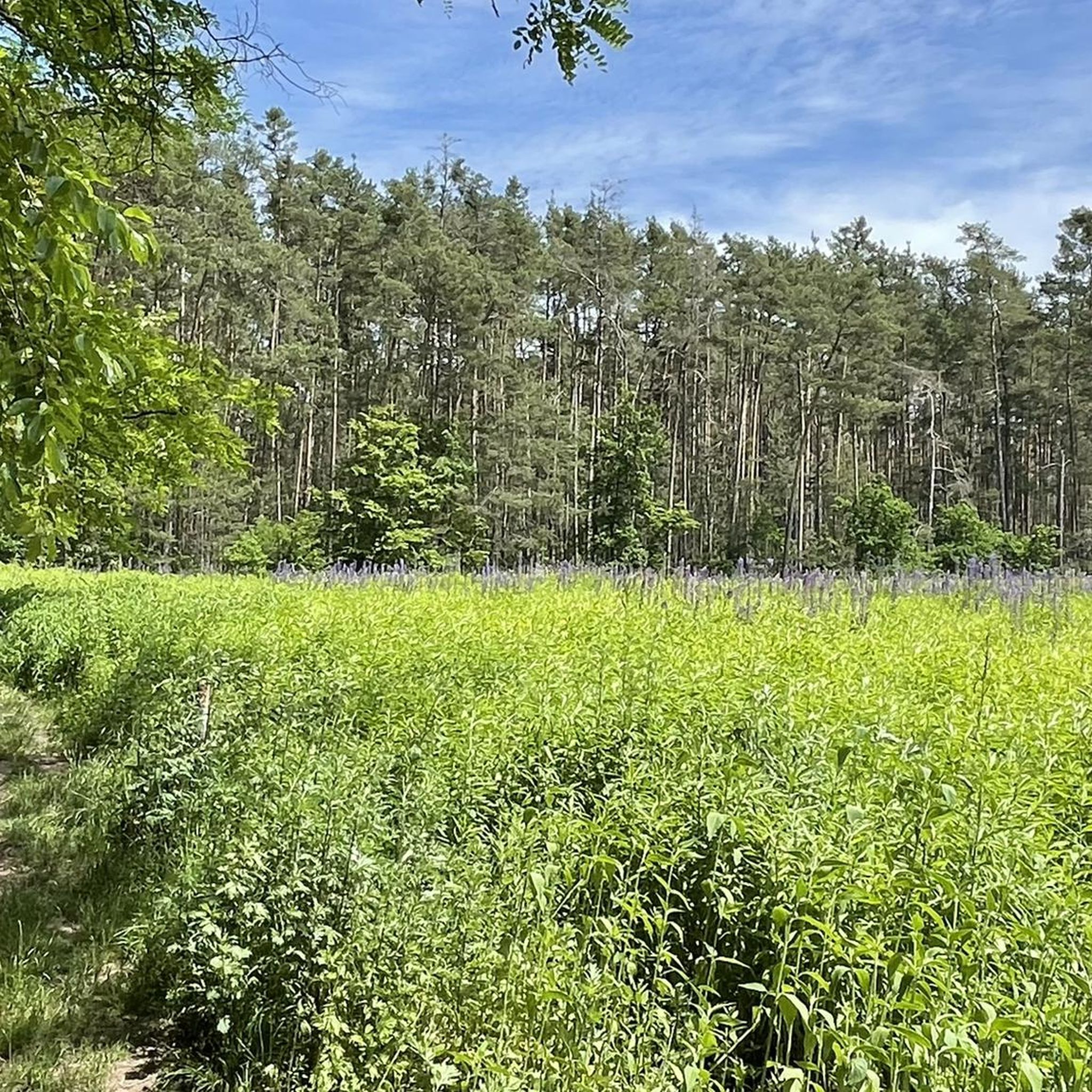
Cycling around Schwaig bei Nürnberg
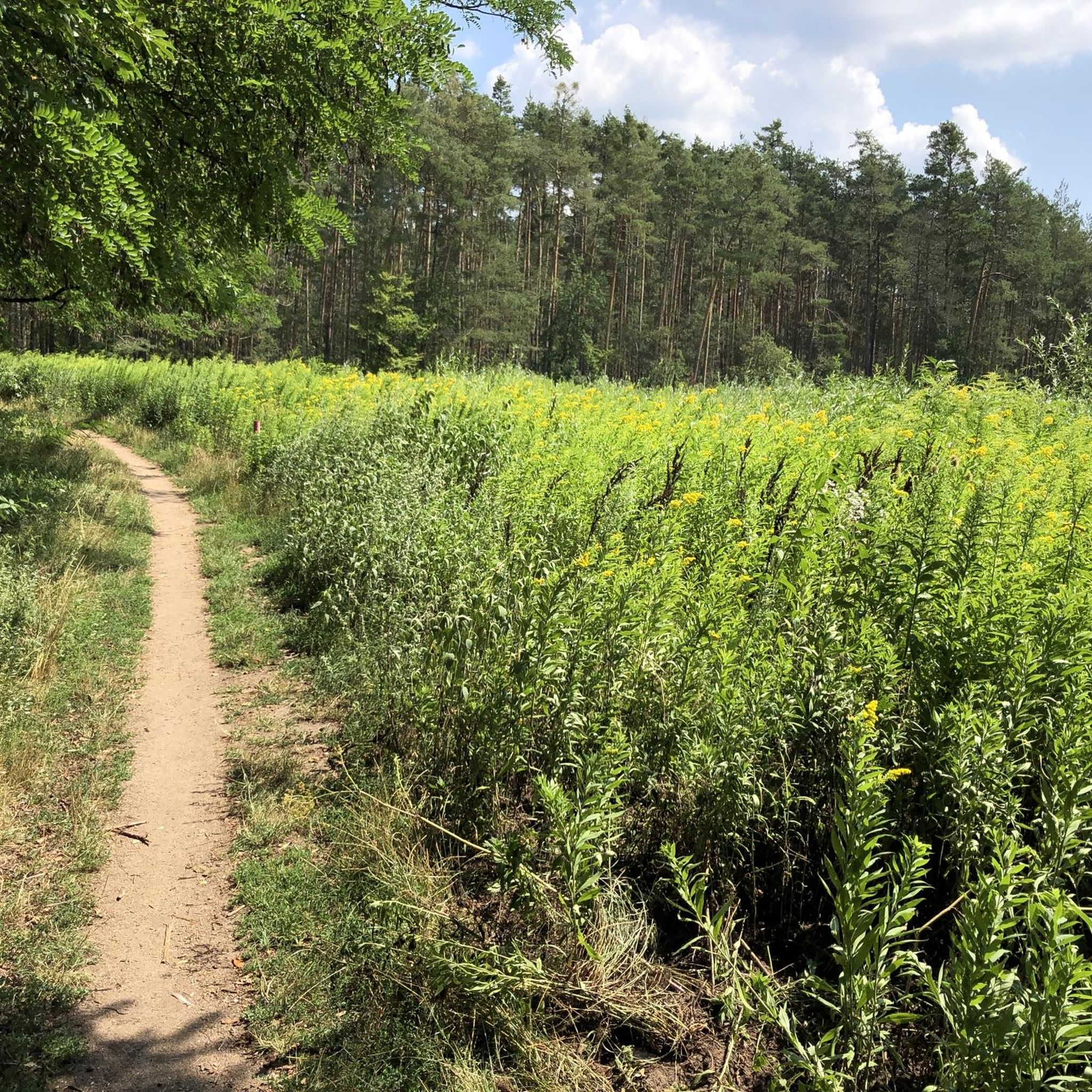
Hiking around Schwaig bei Nürnberg
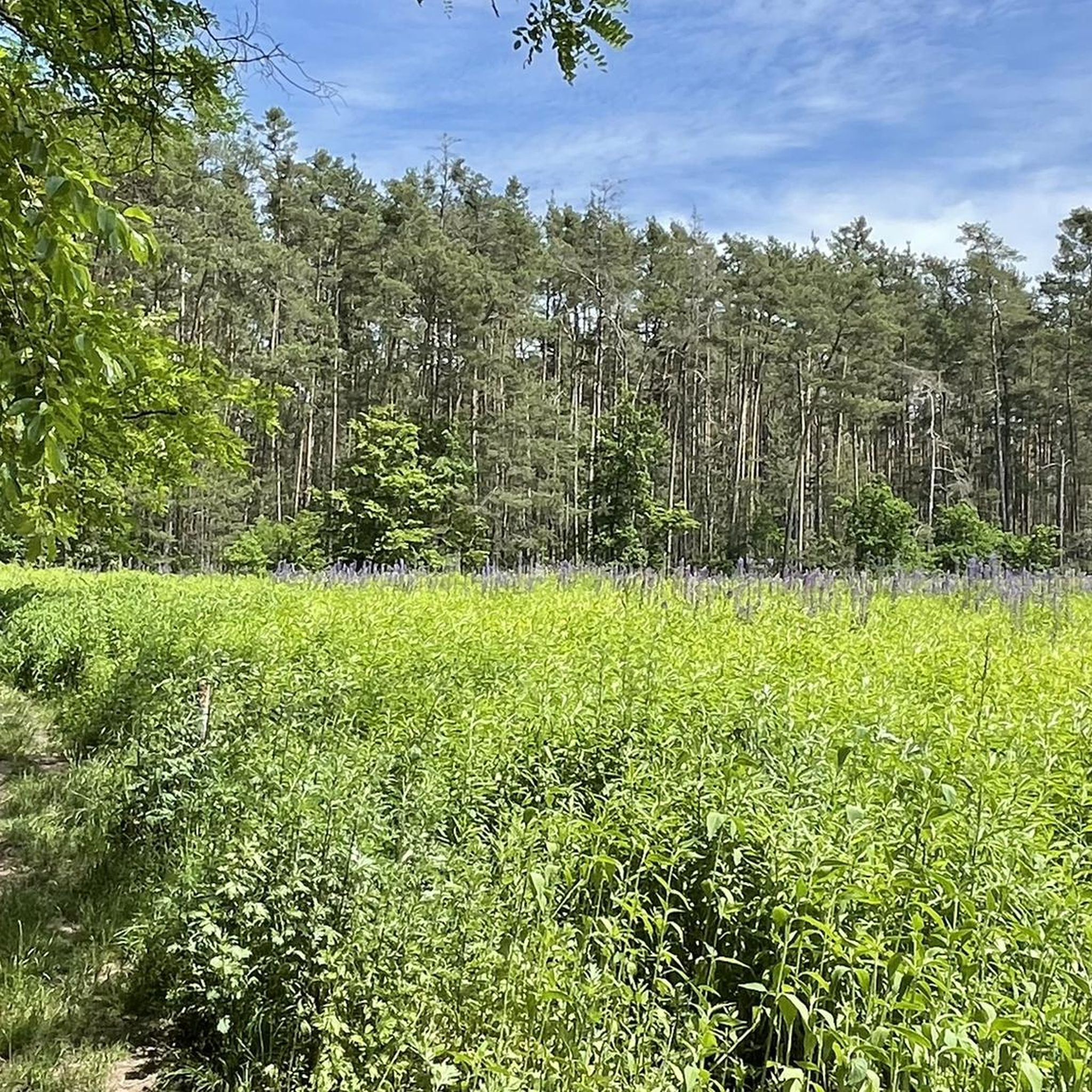
Running Trails around Schwaig bei Nürnberg
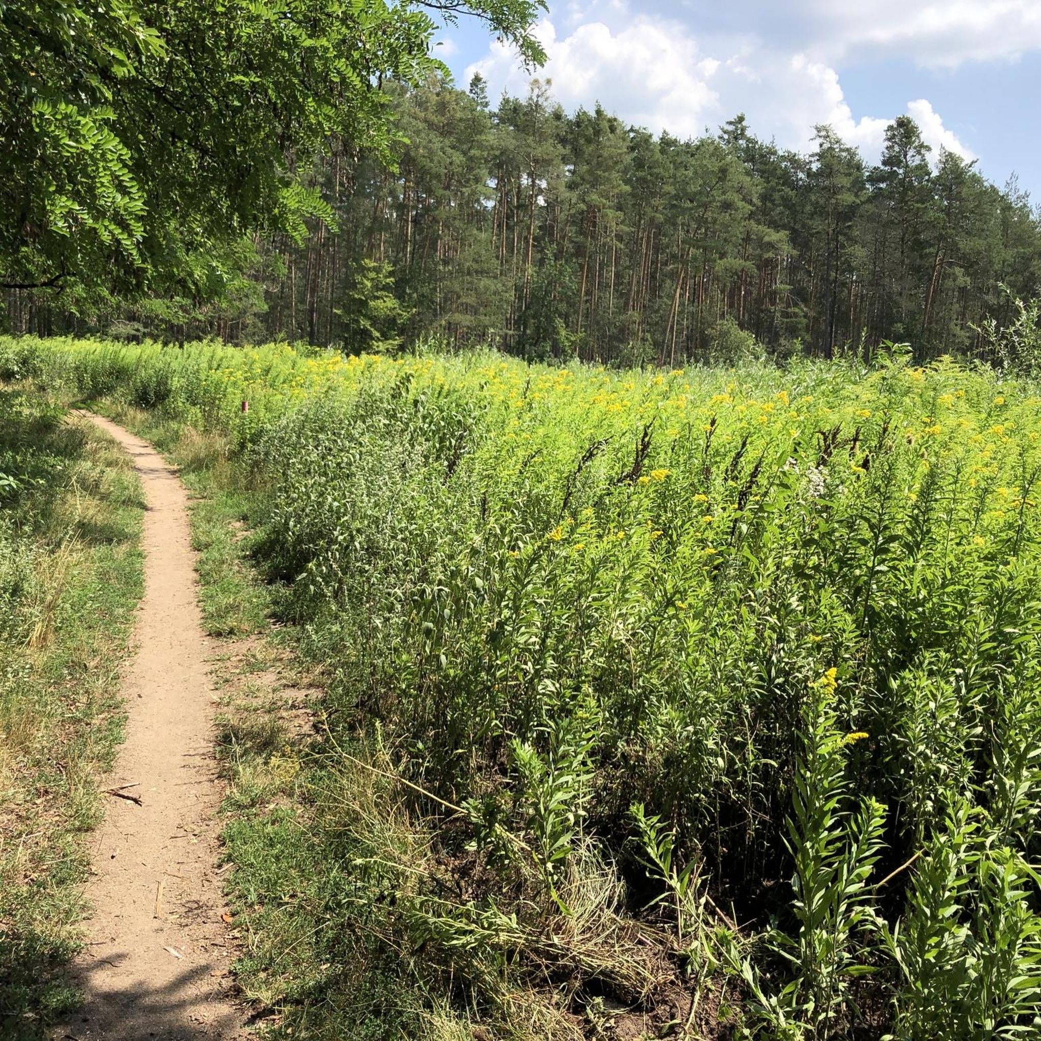
MTB Trails around Schwaig bei Nürnberg
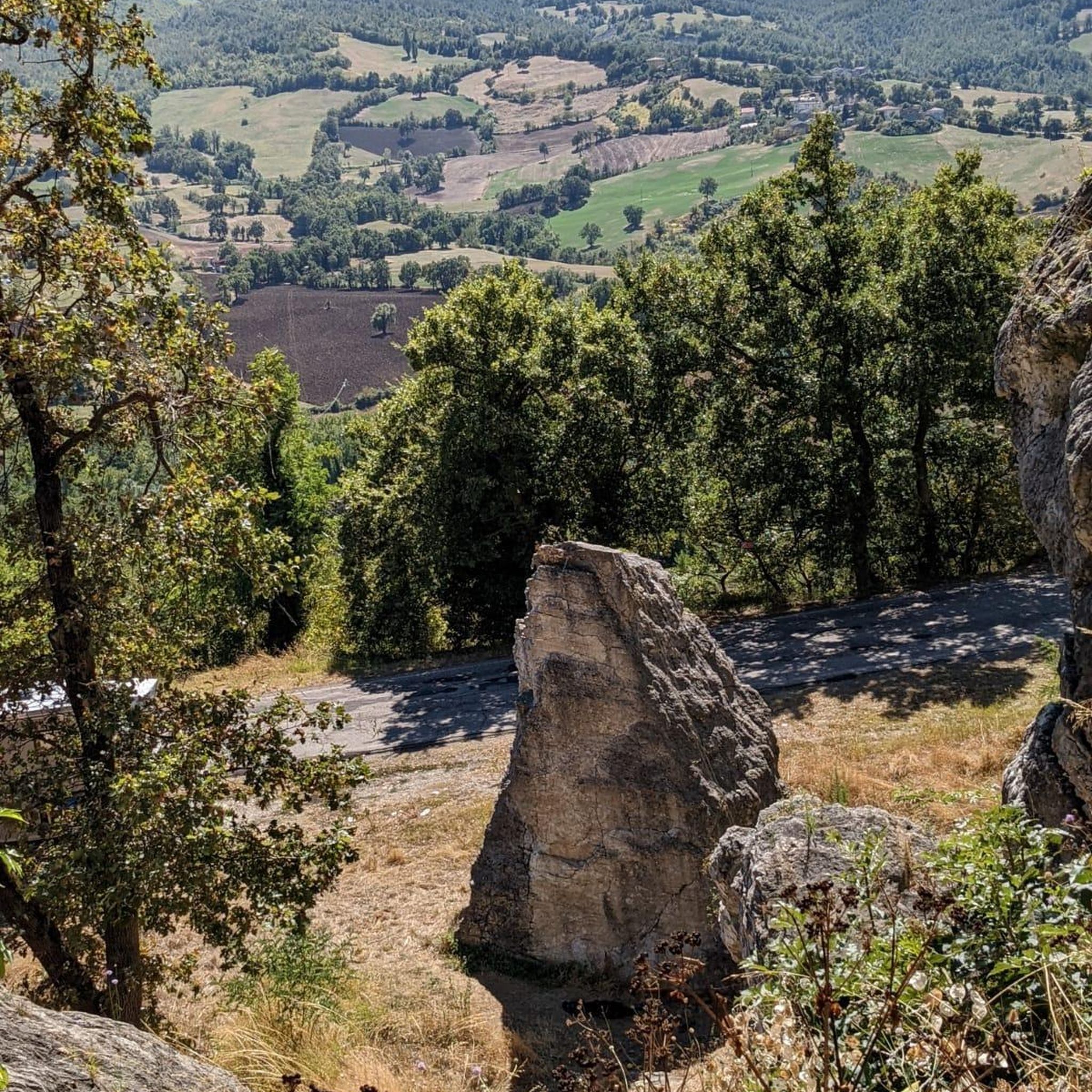
Gravel biking around Schwaig bei Nürnberg
Mountain Hikes around Schwaig bei Nürnberg
Other adventures around Schwaig bei Nürnberg

Tips from the Community

Ideal by bike. Overall little-trafficked road.
0
0
Not heavily trafficked road through the forest.
0
0

In the meantime, there are some very deep potholes.... So be careful, especially when you are in a group. Otherwise, it remains a super nice side route.
1
0
A superbly developed cycle path for covering distance.
0
0

A really beautiful route and the 14% climb isn't so bad when you then have the great descent on a wonderful cycle path.
1
0


Top asphalt perfect for a fast lap
0
0
The scenery is beautiful, and there are lots of cyclists here on the weekends.
0
0
Frequently Asked Questions
What kind of terrain can I expect on road cycling routes in Schwaig bei Nürnberg?
Road cycling routes around Schwaig bei Nürnberg traverse a landscape characterized by river valleys, agricultural fields, and sections of forest roads. The region features gentle undulations with moderate elevation gains, offering varied terrain for road cyclists. Routes often follow the Pegnitz River and pass through small villages, providing a mix of open stretches and shaded areas.
How many road cycling routes are available around Schwaig bei Nürnberg?
There are over 15 road cycling routes available around Schwaig bei Nürnberg, catering to various skill levels from easy to difficult. The komoot community has explored these routes over 800 times.
Are there road cycling routes suitable for beginners in Schwaig bei Nürnberg?
Yes, Schwaig bei Nürnberg offers several easy road cycling routes. For instance, the Ottensoos Village Pond – Pegnitz River at Hohenstadt loop from Behringersdorf is an easy 30.3-mile (48.8 km) trail that features scenic stretches along the Pegnitz River and past village ponds, ideal for those new to road cycling in the area.
Are there challenging road cycling routes for experienced riders?
Yes, for more experienced riders seeking a challenge, there are difficult routes available. While the majority are moderate, you can find routes with more significant elevation gains and longer distances to test your endurance.
What are some scenic highlights I might encounter on a road cycling tour?
Many routes offer scenic views, often following the Pegnitz River or passing through picturesque agricultural fields and forest sections. You might also encounter charming village centers. For specific points of interest, consider routes that pass near attractions like the Moritzberg Mountain Inn or offer views towards the Schmausenbuck Tower.
Are there any circular road cycling routes in the area?
Yes, many of the road cycling routes around Schwaig bei Nürnberg are designed as loops, allowing you to start and end at the same point. Examples include the Forest Road Ungelstetten–Brunn – Offenhausen Village Center loop from Behringersdorf or the View of Günthersbühl – Scenic Road Through Hop Fields loop from Schwaig.
What do other road cyclists enjoy most about cycling in Schwaig bei Nürnberg?
The area is highly rated by the komoot community, with an average score of 4.5 stars from over 20 reviews. Reviewers often praise the varied terrain, which includes river valleys, forest roads, and agricultural landscapes, providing a diverse and enjoyable cycling experience.
Are there any attractions like lakes or peaks near the road cycling routes?
Yes, the region offers several natural attractions. You can find routes that pass near lakes such as Wöhrder Lake or the Great Birch Lake. For those interested in higher points, the Moritzberg Summit offers an observation tower and beer garden.
What is a good moderate-difficulty route for road cycling?
A popular moderate route is the Offenhausen Village Center – Forest Road Ungelstetten–Brunn loop from Schwaig. This 41.1-mile (66.2 km) trail leads through village centers and forest roads, typically completed in about 2 hours 58 minutes, offering a good balance of distance and elevation.
Can I find routes that are less crowded?
While specific crowd levels can vary, many routes in the region traverse quieter agricultural areas and forest roads, especially outside of peak times or popular village centers. Exploring some of the longer, moderate routes might lead to a more serene experience.
What is the typical duration for road cycling routes in this area?
Route durations vary significantly based on distance and difficulty. Easy routes, like the Ottensoos Village Pond – Pegnitz River at Hohenstadt loop, can take under 2 hours. Moderate routes, such as the Fabrikgut Hammer – Feucht <-> Ochenbruck cycle path loop, typically range from 2.5 to 3 hours, while longer, more challenging rides can extend beyond that.
Are there any routes that pass through hop fields or offer unique regional views?
Yes, the region's agricultural character means you can find routes that showcase local farming. For example, the View of Günthersbühl – Scenic Road Through Hop Fields loop from Schwaig specifically highlights scenic roads through hop fields, offering a unique regional perspective.
Most popular routes around Schwaig bei Nürnberg
Most popular attractions around Schwaig bei Nürnberg

Get inspired with the komoot mobile app


Explore more
Browse the best Road cycling routes in other regions.
