The best running trails in Tlajomulco De Zúñiga
4.9
(56)
1,392
runners
37
runs
Jogging in Tlajomulco De Zúñiga offers diverse terrain, from flat areas to accidented zones reaching up to 2,700 meters. The region is characterized by extensive natural protected areas, including the Corredor Ecológico Tlaxomulli, which features oak forests and varied elevations. Runners can find routes around natural landmarks like the Laguna de Cajititlán and through ecological parks such as Bosques de Santa Anita. This varied landscape provides options for different running experiences.
Best jogging routes in Tlajomulco De Zúñiga
- The most…
Last updated: July 7, 2026
5.0
(3)
45
runners
Hard run. Very good fitness required. Mostly paved surfaces. Suitable for all skill levels.
5.0
(2)
40
runners
24.5km
03:45
1,320m
1,320m
Hard run. Very good fitness required. Mostly paved surfaces. Suitable for all skill levels.

Sign up for free
5.0
(2)
38
runners
Hard run. Very good fitness required. Mostly paved surfaces. Suitable for all skill levels.
10
runners
7.51km
00:47
70m
70m
Moderate run. Good fitness required. Mostly paved surfaces. Suitable for all skill levels.
7
runners
31.8km
04:28
1,310m
1,310m
Hard run. Very good fitness required. Mostly paved surfaces. Suitable for all skill levels.
3
runners
7.34km
00:46
40m
40m
Moderate run. Good fitness required. Mostly paved surfaces. Suitable for all skill levels.
5.0
(1)
3
runners
5.30km
00:33
30m
30m
Moderate run. Good fitness required. Mostly paved surfaces. Suitable for all skill levels.
Get access to more routes and recommendations from other explorers.
Sign up for free
Already have an account?
Our route recommendations are based on thousands of hikes, rides, and runs completed by other people on komoot.
Start today with a free account
Your next adventure awaits.
Login or Signup
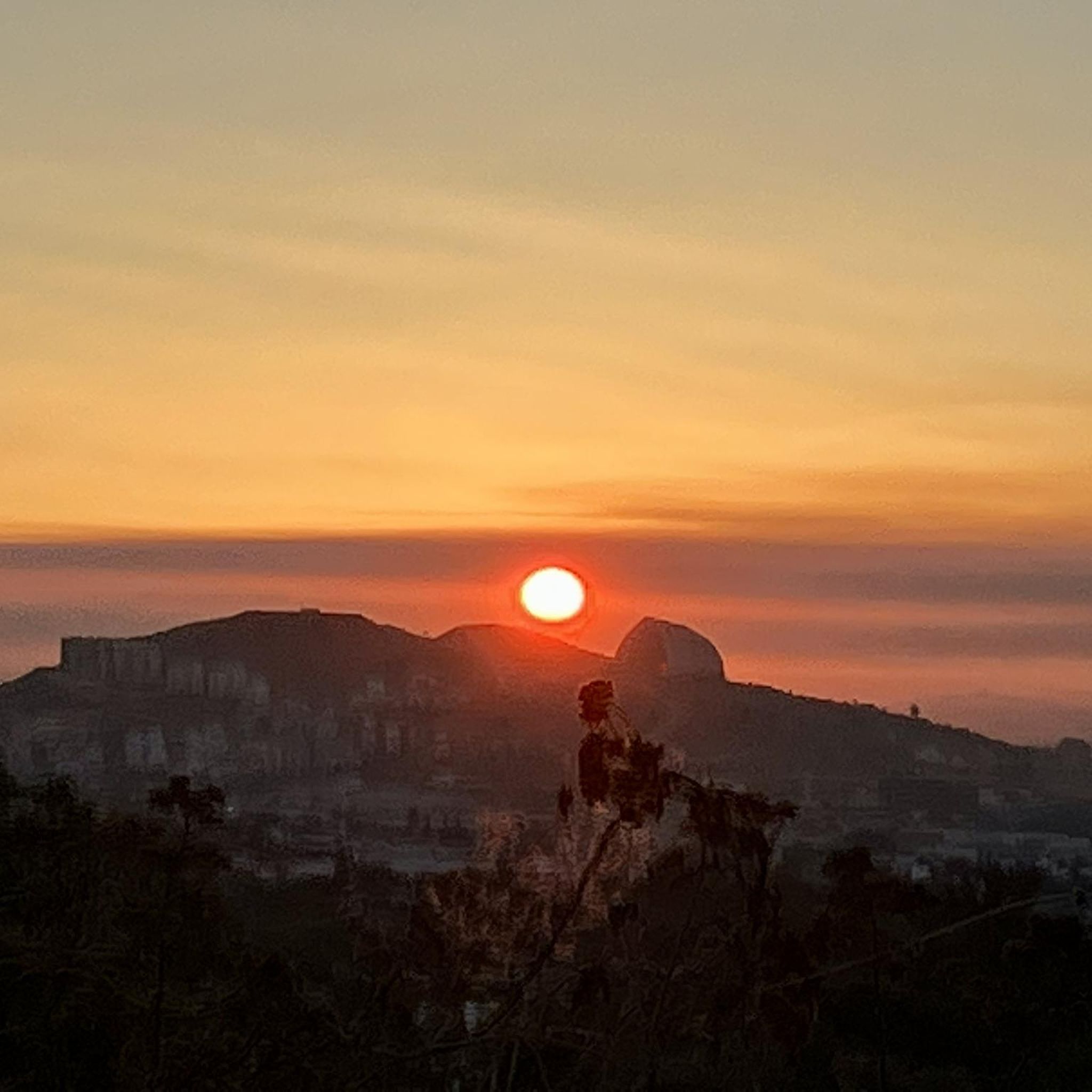
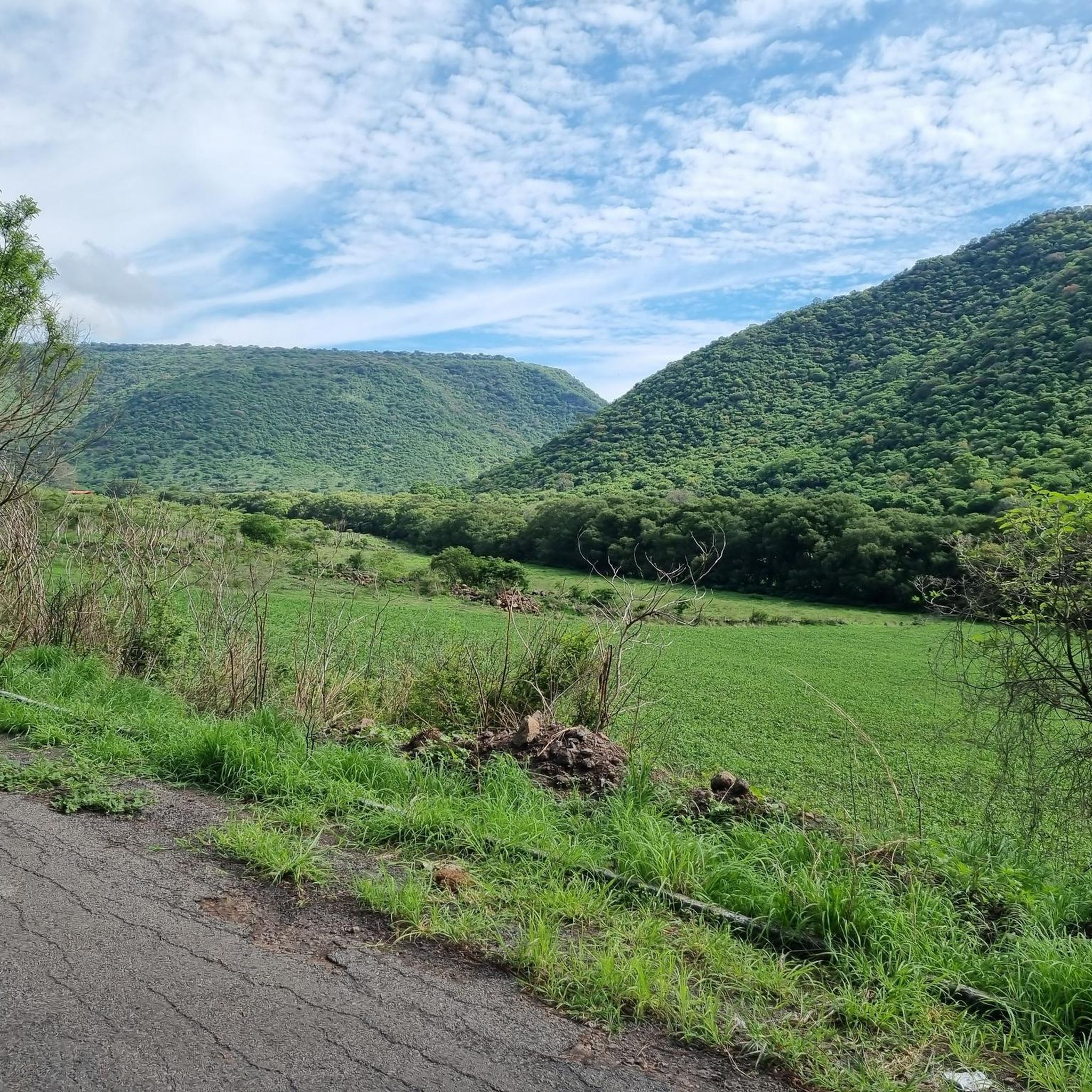
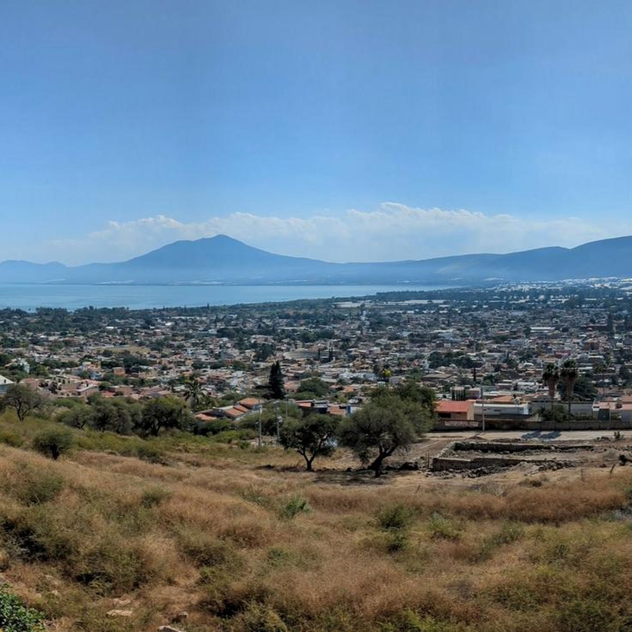
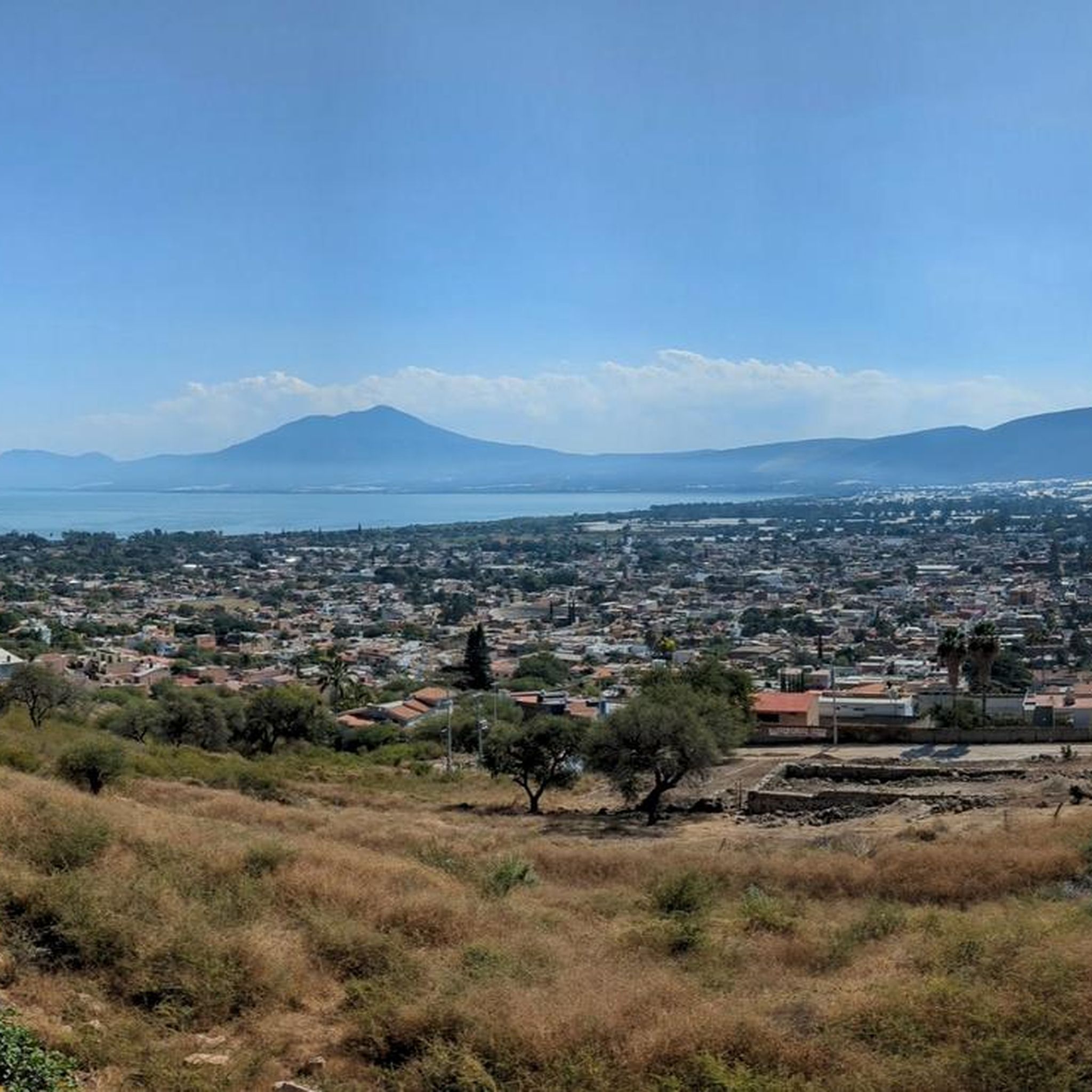
Tips from the Community

Routes to enjoy according to your level of activity, inside the city
0
0
Frequently Asked Questions
What types of terrain can I expect on running routes in Tlajomulco De Zúñiga?
Tlajomulco De Zúñiga offers a diverse range of running terrain. You'll find routes through flat areas, semi-flat zones, and more accidented regions with elevations reaching up to 2,700 meters. This includes oak forests, lakeside paths around the Laguna de Cajititlán, and trails with significant elevation changes, providing options for various fitness levels.
Are there any easy or beginner-friendly jogging routes in Tlajomulco De Zúñiga?
Yes, while many routes offer a challenge, there are options suitable for beginners. The region features flat and semi-flat areas, such as the malecones around Laguna de Cajititlán, which are ideal for leisurely jogs. Komoot lists 1 easy route and 15 moderate routes, ensuring there are less demanding paths available for those starting out or looking for a relaxed run.
What natural features or landmarks can I see while running in Tlajomulco De Zúñiga?
Running in Tlajomulco De Zúñiga allows you to experience significant natural beauty. Routes often pass through the Corredor Ecológico Tlaxomulli, encompassing areas like Bosque de La Primavera and Cerro Viejo. You can also enjoy scenic views of the Laguna de Cajititlán and its surrounding towns, or explore the Parque Ecológico Bosques de Santa Anita. The varied topography includes oak forests and diverse flora.
How many running routes are available in Tlajomulco De Zúñiga?
There are over 35 running routes available in Tlajomulco De Zúñiga, catering to various difficulty levels and preferences. This includes 1 easy route, 15 moderate routes, and 22 difficult routes, ensuring a wide selection for all runners.
Are there any circular running routes in the area?
Yes, many of the running routes in Tlajomulco De Zúñiga are designed as loops, offering convenient circular paths. For example, the Bugambilias Forest View loop from Bugambilias is a moderate 7.5 km route, and the Running loop from La Tijera provides a moderate 7.4 km option.
What is the best time of year to go jogging in Tlajomulco De Zúñiga?
Tlajomulco De Zúñiga generally has a semi-warm climate, making it suitable for jogging year-round. However, the cooler, drier months (typically November to May) might be more comfortable for longer runs, avoiding the peak heat and humidity of the rainy season. Always check local weather forecasts before heading out.
Are there any running routes with significant elevation gain for a challenging workout?
Absolutely. Tlajomulco De Zúñiga features accidented zones with elevations up to 2,700 meters, providing excellent opportunities for challenging trail runs. Routes like the Cerro Viejo loop from Unidad Deportiva de San Miguel de Cuyutlán, a difficult 24.5 km path, include over 1300 meters of elevation gain, perfect for those seeking a strenuous workout.
What do other runners say about the jogging routes in Tlajomulco De Zúñiga?
The running routes in Tlajomulco De Zúñiga are highly regarded by the komoot community, boasting an average rating of 4.9 stars from over 40 reviews. Runners often praise the varied topography, the beauty of the oak forests, and the serene lakeside paths, highlighting the diverse experiences available.
Are there any family-friendly jogging options in Tlajomulco De Zúñiga?
For families, the flatter sections and malecones around the Laguna de Cajititlán offer pleasant and safe environments for a jog or stroll. Additionally, the Parque Ecológico Bosques de Santa Anita and the upcoming Urban Forest in Lomas del Sur, which will feature a dedicated running track, are excellent choices for family-friendly outdoor activity.
Can I find running routes that offer views of the forest?
Yes, many routes in Tlajomulco De Zúñiga traverse forested areas, particularly within the Corredor Ecológico Tlaxomulli, which is rich in oak forests. The Bugambilias Forest View loop from Zona de Recuperación Ambiental Cerro El Tajo is a prime example, offering direct views of the forest and Cerro El Tajo.
Are there any dedicated running tracks or urban green spaces for jogging?
Yes, Tlajomulco is actively developing its green infrastructure. The municipality is creating its first Urban Forest in the Lomas del Sur area, which will include a dedicated running track, athletic zones, and ecological trails. This project aims to provide accessible and well-maintained spaces specifically for active recreation like jogging.
What is the typical length of jogging trails in Tlajomulco De Zúñiga?
The jogging trails in Tlajomulco De Zúñiga vary significantly in length. You can find shorter routes, such as the Running loop from San Agustín at 5.3 km, to much longer and more challenging paths like the SIERRA EL MADROÑO loop from San Miguel Cuyutlán, which spans over 31 km.

Get inspired with the komoot mobile app


Didn’t find what you were looking for?
Check out more Running Trails & Routes throughout Tlajomulco De Zúñiga below and find the perfect route in your destination.
Explore more
Browse the best Running Trails & Routes in other regions.
