The best walks and hikes in Tlajomulco De Zúñiga
4.7
(60)
378
hikers
18
hikes
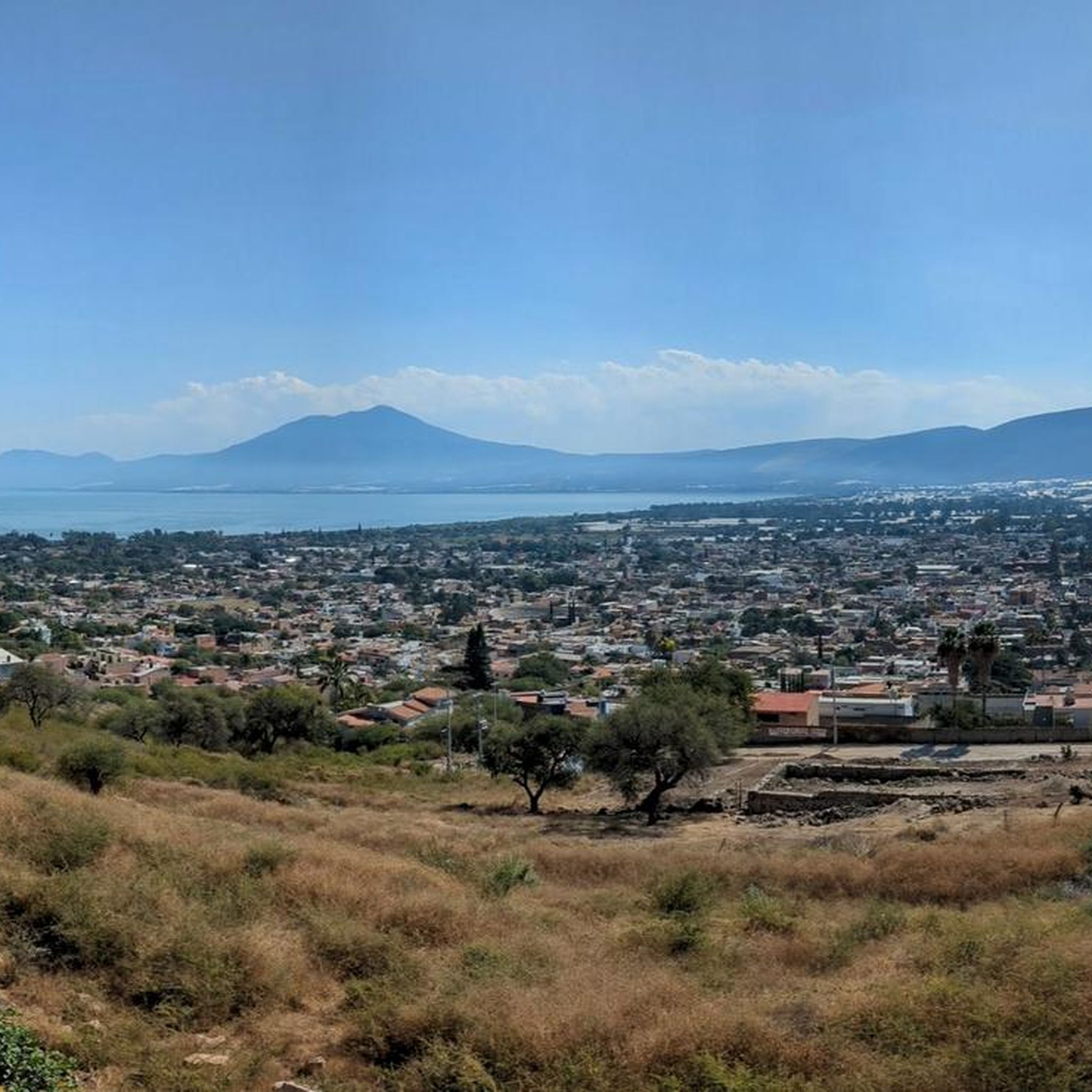
Hiking in Tlajomulco De Zúñiga offers diverse outdoor experiences within the metropolitan area of Guadalajara, Jalisco. The region features significant elevations, including Cerro Viejo, the third-highest mountain in Jalisco, which reaches 9,744 feet (2,970 meters) above sea level. Its protected natural area encompasses varied ecosystems, such as tropical deciduous, oak, and mountain conifer forests. Additionally, the area includes the scenic Laguna de Cajititlán, providing opportunities for lakeside strolls and views of wetlands.
Best hiking trails in Tlajomulco De Zúñiga
- The…
Last updated: June 26, 2026
4.2
(16)
46
hikers
9.59km
03:04
390m
390m
Moderate hike. Good fitness required. Easily-accessible paths. Suitable for all skill levels.
5.0
(5)
25
hikers
22.3km
06:28
560m
560m
Hard hike. Very good fitness required. Mostly accessible paths. Sure-footedness required.

Sign up for free
5.0
(2)
15
hikers
17.4km
04:54
360m
360m
Moderate hike. Good fitness required. Mostly accessible paths. Sure-footedness required.
5.0
(3)
12
hikers
15.6km
04:19
280m
280m
Moderate hike. Good fitness required. Easily-accessible paths. Suitable for all skill levels.
5.0
(3)
9
hikers
15.2km
04:24
390m
390m
Moderate hike. Good fitness required. Mostly accessible paths. Sure-footedness required.
4
hikers
7.56km
02:01
90m
90m
Moderate hike. Good fitness required. Easily-accessible paths. Suitable for all skill levels.
3.0
(1)
5
hikers
Hard hike. Good fitness required. Sure-footedness, sturdy shoes and alpine experience required.
4
hikers
Easy hike. Great for any fitness level. Easily-accessible paths. Suitable for all skill levels.
5.0
(2)
2
hikers
3.76km
00:59
30m
30m
Easy hike. Great for any fitness level. Easily-accessible paths. Suitable for all skill levels.
Get access to more routes and recommendations from other explorers.
Sign up for free
Already have an account?
Our route recommendations are based on thousands of hikes, rides, and runs completed by other people on komoot.
Start today with a free account
Your next adventure awaits.
Login or Signup

Tips from the Community

Frequently Asked Questions
What kind of terrain can I expect on hiking trails in Tlajomulco de Zúñiga?
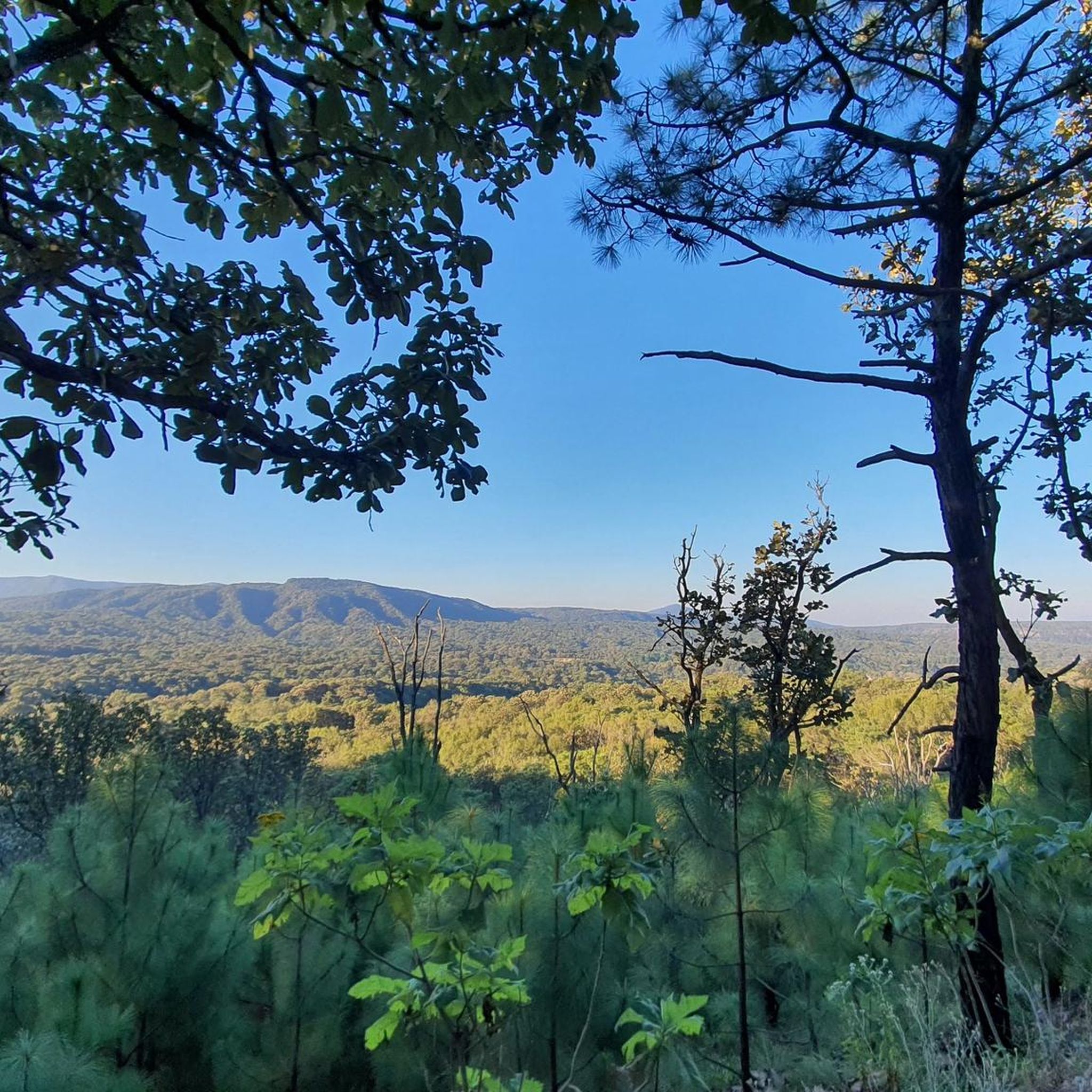
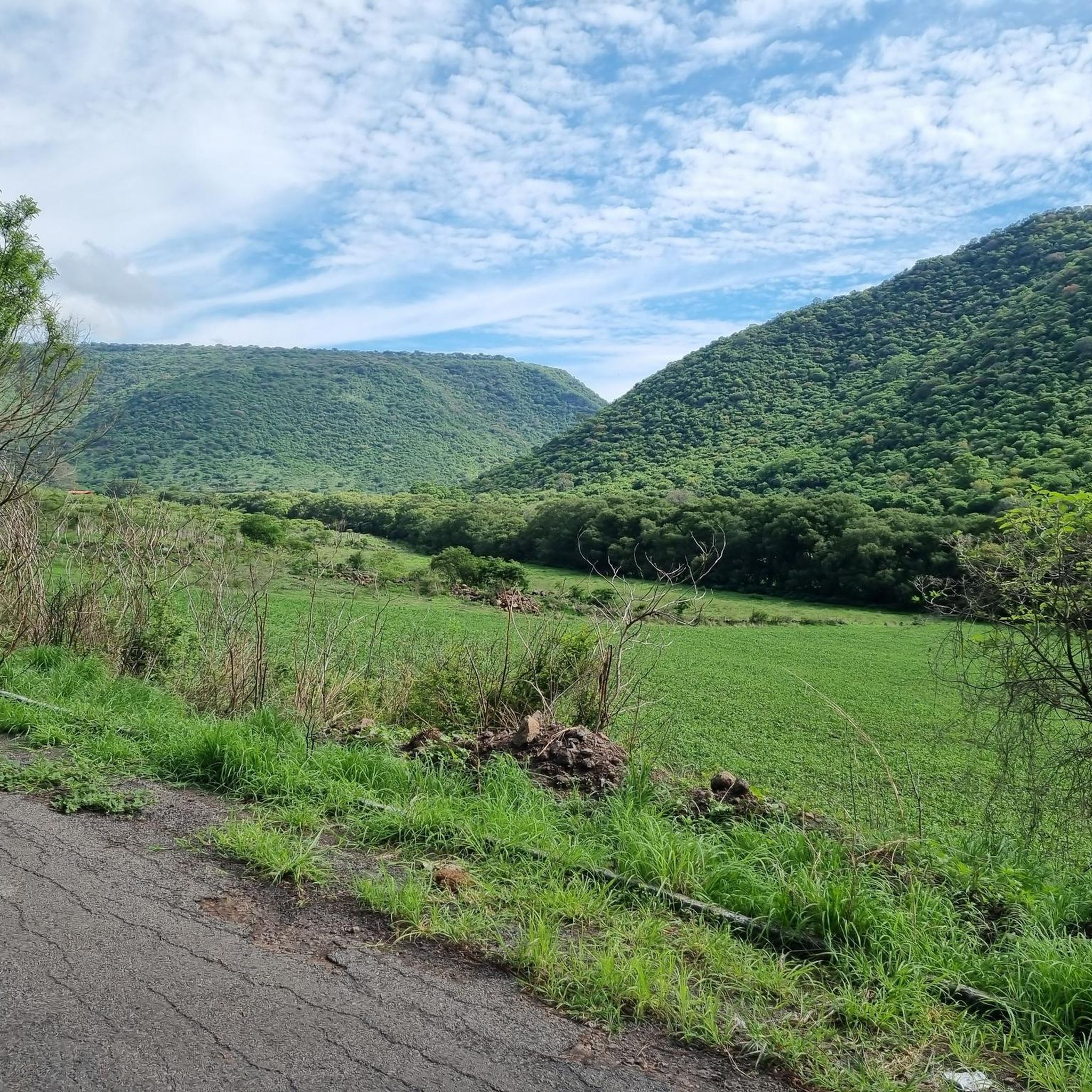
Hiking in Tlajomulco de Zúñiga offers diverse terrain. Trails on Cerro Viejo, the region's highest peak, are generally moderate to challenging, featuring rocky sections, especially during initial ascents. You'll traverse varied ecosystems, including tropical deciduous, oak, and mountain conifer forests. For a gentler experience, the areas around Laguna de Cajititlán provide scenic walks and boardwalks.
Are there significant elevation changes on trails in Tlajomulco de Zúñiga?
Yes, many trails, particularly those on Cerro Viejo, involve significant elevation changes. Cerro Viejo itself reaches 2,970 meters above sea level. For example, the difficult route View of the Forested Hillside – Fly loop from Prolongacion Mariano Otero features substantial elevation gains, rewarding hikers with expansive views.
What natural features or viewpoints can I see while hiking in Tlajomulco de Zúñiga?
Hikers can enjoy panoramic views from the higher reaches of Cerro Viejo, including vistas from Sierra el Madroño and near the antennas. The region also features the tranquil Laguna de Cajititlán, offering scenic lakeside views. Additionally, an upcoming urban forest project in Lomas del Sur will include miradores (viewpoints) along its ecological trails.
Are there any family-friendly hiking options in Tlajomulco de Zúñiga?
Yes, there are options suitable for families. While Cerro Viejo offers more challenging routes, some trails are easier. For instance, the La Virgen Shrine – Bugambilias loop from Zona de Recuperación Ambiental Cerro El Tajo is an easy 4.6-mile route. The developing urban forest in Lomas del Sur will also feature accessible ecological trails and recreational areas, ideal for casual family walks.
Can I bring my dog on the hiking trails in Tlajomulco de Zúñiga?
Many outdoor areas in Tlajomulco de Zúñiga, especially the protected natural area of Cerro Viejo, are generally welcoming to dogs. However, it's always recommended to keep your dog on a leash and ensure you clean up after them to preserve the natural environment for everyone.
Are there circular hiking routes available in the area?
Yes, several circular routes are popular in Tlajomulco de Zúñiga. Examples include the moderate El Árbol loop from Del Bosque, and the longer Vista Panoramica General – Mirador Geotermica loop from Km 10.5, which leads through varied terrain.
Where can I park when accessing hiking trails in Tlajomulco de Zúñiga?
Specific parking information varies by trailhead. For popular areas like Cerro Viejo, access points often have designated or informal parking areas. It's advisable to check the starting point of your chosen route for the most accurate parking details. For example, routes like La Virgen Shrine – Bugambilias loop from Zona de Recuperación Ambiental Cerro El Tajo typically start from areas with accessible parking.
What is the best time of year to go hiking in Tlajomulco de Zúñiga?
The best time for hiking in Tlajomulco de Zúñiga is generally during the dry season, from November to May, when the weather is cooler and rainfall is minimal. This provides more comfortable hiking conditions and clearer views. The rainy season (June to October) can make some trails muddy and more challenging.
What kind of wildlife might I encounter on the trails?
The protected natural area of Cerro Viejo is rich in biodiversity, home to an impressive 889 recognized plant species. While specific wildlife sightings can vary, the diverse ecosystems, including tropical deciduous, oak, and mountain conifer forests, support various bird species, small mammals, and reptiles. Hikers should always observe wildlife from a distance and avoid disturbing their natural habitat.
How many hiking trails are available in Tlajomulco de Zúñiga?
There are over 15 hiking trails documented in Tlajomulco de Zúñiga, offering a range of experiences from easy walks to challenging long-distance routes. The komoot community has explored these trails over 300 times, indicating a vibrant hiking scene.
What do other hikers enjoy most about hiking in Tlajomulco de Zúñiga?
The area is highly rated by the komoot community, with an average score of 5.0 stars from over 40 reviews. Hikers often praise the diverse terrain, the significant elevation changes that lead to expansive views, and the opportunity to explore mountainous forests and tranquil lakeside paths.
Are there any easy hiking trails for beginners?
Yes, Tlajomulco de Zúñiga offers several easy trails suitable for beginners. For example, the La Virgen Shrine – Bugambilias loop from Zona de Recuperación Ambiental Cerro El Tajo is an easy 4.9-mile route with moderate elevation gain, perfect for those new to hiking or looking for a relaxed walk.
Are there any cultural or historical sites near the hiking trails?
While primarily known for its natural landscapes, Tlajomulco de Zúñiga is also part of the Ruta Franciscana, a cultural route that includes colonial-era temples in towns along the Laguna de Cajititlán. These sites offer a different kind of exploration, often involving walks through charming towns and learning about the region's heritage.

Get inspired with the komoot mobile app


Didn’t find what you were looking for?
Check out more Hikes throughout Tlajomulco De Zúñiga below and find the perfect route in your destination.
Explore more
Browse the best Hikes in other regions.
