The best cycling routes in Álvaro Obregón
4.7
(475)
5,706
riders
11
rides
Touring cycling in Álvaro Obregón offers a variety of routes through urban and suburban landscapes, often featuring significant elevation changes. The region includes areas with notable landmarks and natural sections, providing diverse terrain for cyclists. Routes can range from relatively flat paths around university campuses to challenging climbs through hilly areas. The landscape combines developed zones with pockets of green spaces and barrancas.
Best touring cycling routes in Álvaro Obregón
- The most popular touring cycling route is La Venta –…
Last updated: July 1, 2026
5.0
(1)
72
riders
70.0km
05:12
1,480m
1,480m
Hard bike ride. Very good fitness required. Mostly paved surfaces. Suitable for all skill levels.
5.0
(1)
40
riders
Easy bike ride. Great for any fitness level. Mostly paved surfaces. Suitable for all skill levels.

Sign up for free
24
riders
53.6km
04:03
1,200m
1,200m
Hard bike ride. Very good fitness required. Mostly paved surfaces. Suitable for all skill levels.
5.0
(2)
24
riders
51.1km
03:41
1,120m
1,120m
Hard bike ride. Very good fitness required. Mostly paved surfaces. Suitable for all skill levels.
4.5
(4)
21
riders
Hard bike ride. Very good fitness required. Mostly paved surfaces. Suitable for all skill levels.
5.0
(4)
18
riders
Moderate bike ride. Good fitness required. Mostly paved surfaces. Suitable for all skill levels.
5.0
(1)
18
riders
24.8km
01:44
480m
480m
Hard bike ride. Very good fitness required. Mostly paved surfaces. Suitable for all skill levels.
7
riders
46.3km
03:46
1,210m
1,210m
Hard bike ride. Very good fitness required. You may need to push your bike for some segments of this route.
9
riders
Easy bike ride. Great for any fitness level. Mostly paved surfaces. Suitable for all skill levels.
8
riders
8.20km
00:33
100m
100m
Easy bike ride. Great for any fitness level. Mostly paved surfaces. Suitable for all skill levels.
Our route recommendations are based on thousands of hikes, rides, and runs completed by other people on komoot.
Start today with a free account
Your next adventure awaits.
Login or Signup


Tips from the Community

The actual name of the park is “Luis Gonzaga Urbina”, but almost no one uses that name. The nickname “Sunken park” refers to negative ground level difference relative to rest of the area. This is because at some point in history this was a quarry. It’s a very nice park with several replicas of archeological findings.
0
0

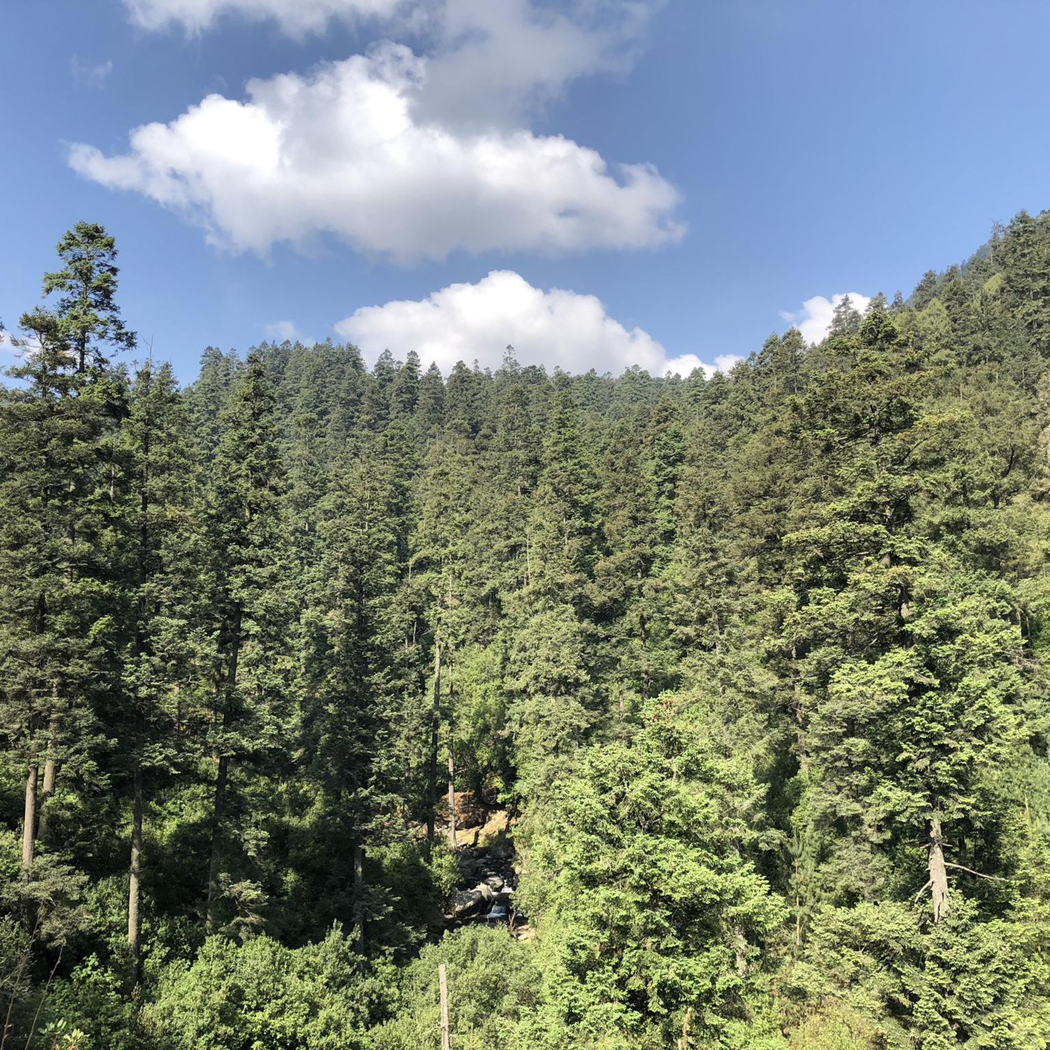
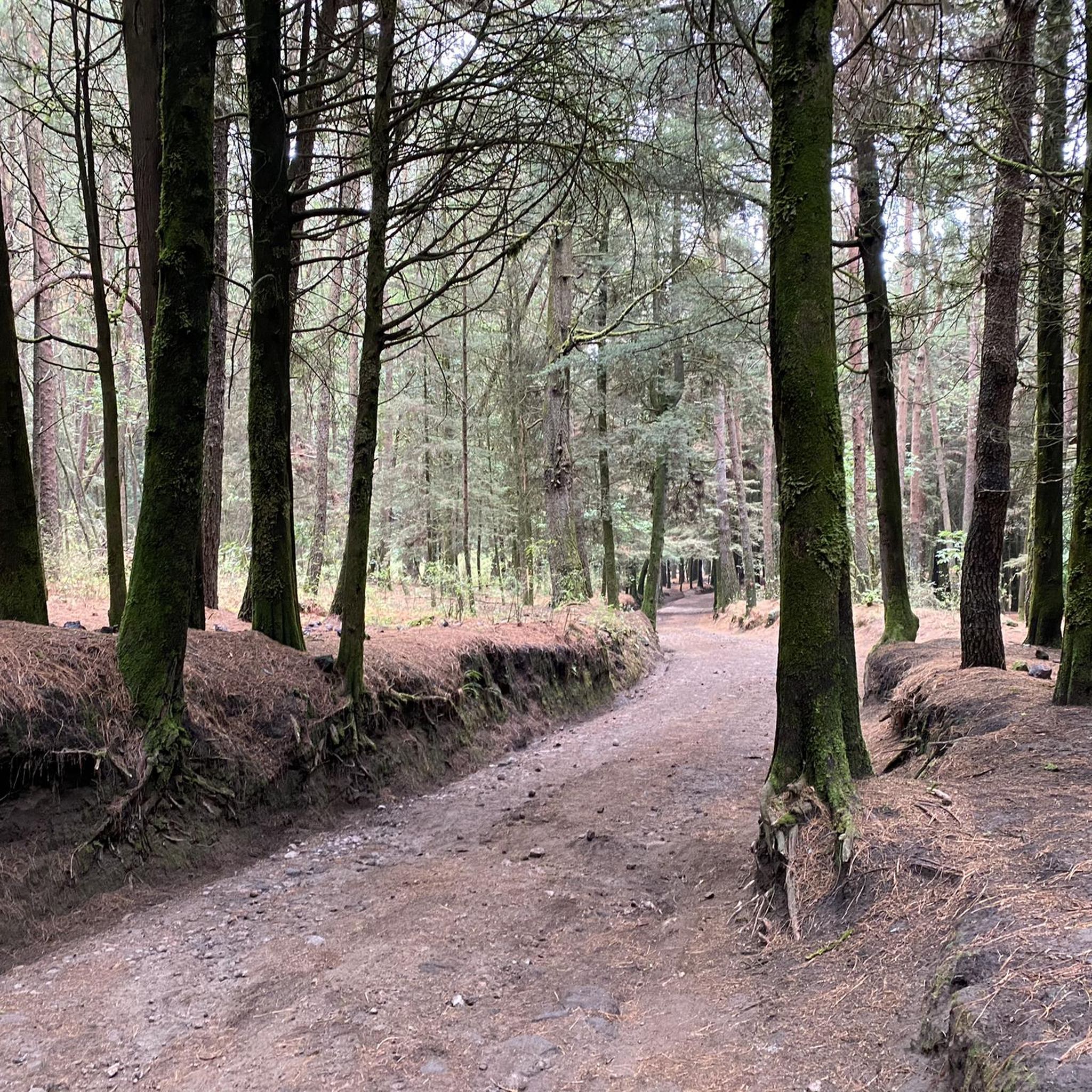
La Pluma Amarilla is one of the most recognizable entrances to Desierto de los Leones National Park. Signposted and surrounded by forest, it's an ideal starting point for hiking or biking in the area. Several shaded trails lead from here into the park's mountainous terrain.
0
0

It's the perfect place to stop at the end of your adventure, rest for a moment and enjoy a comforting snack after your exertion.
0
0
Beside the road stands a small image of Our Lady of Guadalupe, watched over with devotion by passersby. Many people stop for a few minutes to leave flowers, candles, or other offerings, giving thanks for favors received or asking for protection on their journey. It's a simple spot, but full of faith and meaning.
0
0

Here's a mural of two of the best players in history. A photo never hurts.
2
0

This is a beautiful and iconic covered wooden bridge, very popular with hikers and cyclists. The surroundings are lovely. Be careful if it's very wet, as the ground can sometimes be a bit slippery.
0
0
This interesting convent, built in the 17th century by Carmelite monks, later converted into a military barracks and which holds many "paranormal" stories, is now open to visitors and serves as a base for numerous walks in the area.
0
0
The statue has been moved to a side of the street, instead of the roundabout it was
0
0
Frequently Asked Questions
How many touring cycling routes are available in Álvaro Obregón?
Álvaro Obregón offers a selection of 11 touring cycling routes. These routes navigate through urban and suburban landscapes, providing diverse options for exploration.
What is the overall difficulty level of touring cycling in Álvaro Obregón?
The routes in Álvaro Obregón present a varied challenge. There are 3 easy routes, 1 moderate route, and 7 difficult routes, often featuring significant elevation changes due to the hilly terrain and barrancas in the region.
Are there easy touring cycling routes suitable for beginners in Álvaro Obregón?
Yes, beginners can enjoy routes like the Olympic University Stadium – Monument to Álvaro Obregón loop from National Autonomous University of Mexico. This 10.6-mile (17.0 km) route has a manageable elevation gain of about 337 feet (103 meters), offering a gentler introduction to touring cycling in the area.
What are some challenging touring cycling routes for experienced riders in Álvaro Obregón?
Experienced cyclists looking for a challenge can tackle routes such as the Castle of the Elves – La Venta loop from Vasco de Quiroga. This route spans 33.3 miles (53.6 km) with a substantial elevation gain of over 3,941 feet (1,201 meters), traversing varied and demanding terrain.
Are there any circular touring cycling routes in Álvaro Obregón?
Many routes in Álvaro Obregón are designed as loops, allowing you to start and finish at the same point. An example is the La Venta – La Ranita loop from Estación Vasco de Quiroga, a 15.5-mile (24.9 km) route that offers a complete circuit.
What kind of landmarks or viewpoints can I expect to see along touring cycling routes in Álvaro Obregón?
Álvaro Obregón's routes often pass by notable landmarks and offer scenic views. You might encounter historical sites like the Cuarto Dínamo Ruins, significant monuments such as the Olympic University Stadium, or enjoy panoramic vistas from the 4th Dinamo Viewpoint.
Can I access touring cycling routes in Álvaro Obregón using public transport?
Yes, several routes are accessible via public transport. Many routes start near key public transport hubs, such as those originating from Estación Vasco de Quiroga or Barranca del Muerto, making it convenient to reach the starting points without a car.
Is parking available near touring cycling routes in Álvaro Obregón?
Given Álvaro Obregón's urban and suburban nature, parking availability can vary. Many routes start from areas with public parking facilities or street parking. It's advisable to check specific starting points for the best parking options, especially near university campuses or cultural centers.
What is the best time of year for touring cycling in Álvaro Obregón?
The dry season, typically from November to April, is generally considered the best time for touring cycling in Álvaro Obregón. During these months, you can expect more stable weather conditions and less chance of rain, making for more enjoyable rides through the varied terrain.
What do other touring cyclists say about the routes in Álvaro Obregón?
The touring cycling routes in Álvaro Obregón are highly regarded by the komoot community, boasting an average rating of 4.7 stars from over 70 reviews. Cyclists often praise the diverse urban and green landscapes, the challenging elevation profiles, and the access to local landmarks.
Are there any longer touring cycling routes for endurance riders?
For endurance riders, the region offers longer routes that test stamina. The Yellow gate – La Venta loop from San Mateo Tlaltenango is a significant option, covering 31.7 miles (51.1 km) with over 3,681 feet (1,122 meters) of elevation gain, providing a substantial ride.
Are there routes that combine urban exploration with green spaces?
Absolutely. Many routes in Álvaro Obregón are characterized by this blend. The Alcantarilla Alley – Olympic University Stadium loop from National Autonomous University of Mexico, for instance, takes you through both developed zones and pockets of green spaces, offering a dynamic cycling experience.
Most popular routes in Álvaro Obregón
Most popular attractions in Álvaro Obregón

Get inspired with the komoot mobile app


Didn’t find what you were looking for?
Check out more Cycling routes throughout Álvaro Obregón below and find the perfect route in your destination.
Explore more
Browse the best Cycling routes in other regions.
