The best walks and hikes in Álvaro Obregón
4.7
(465)
3,236
hikers
11
hikes
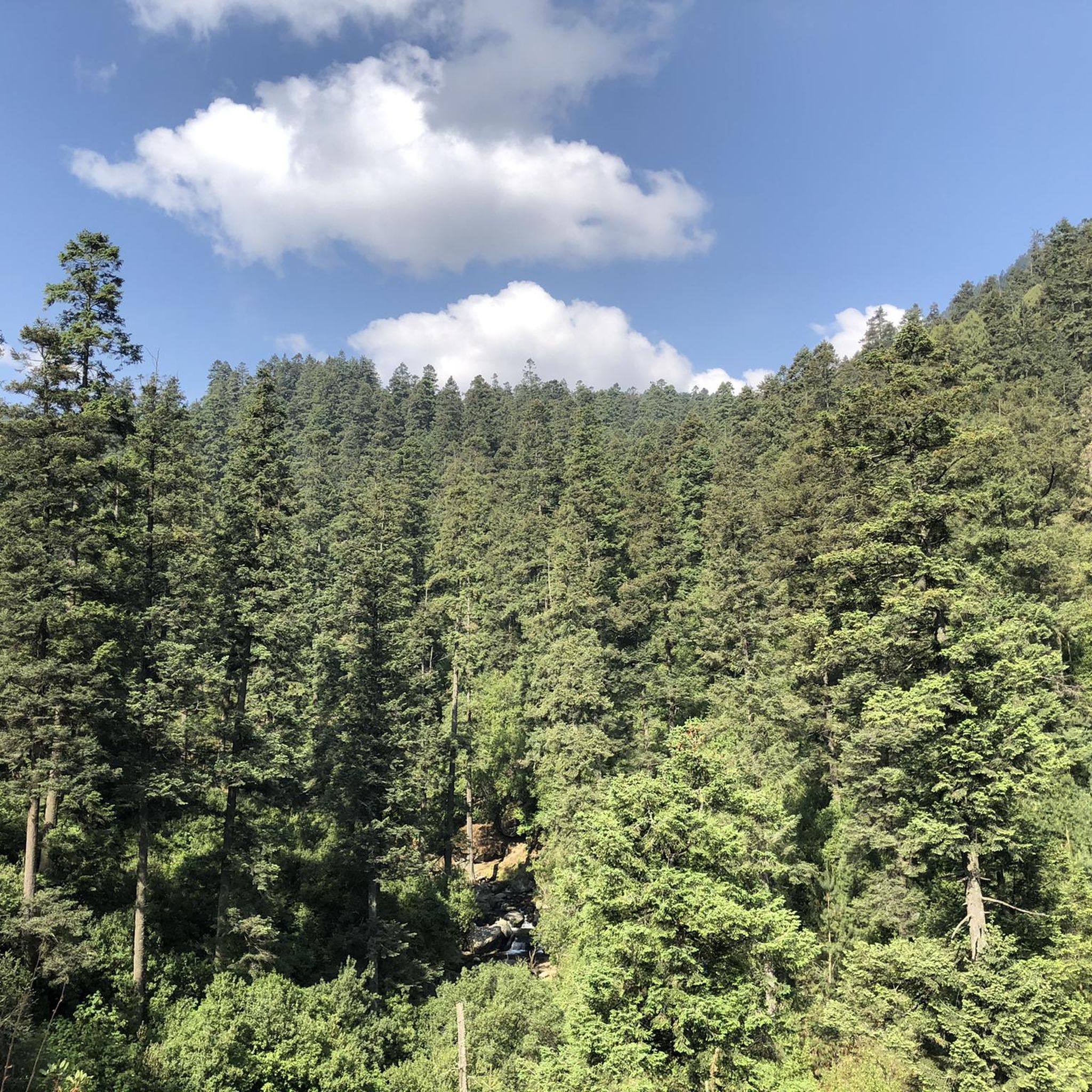
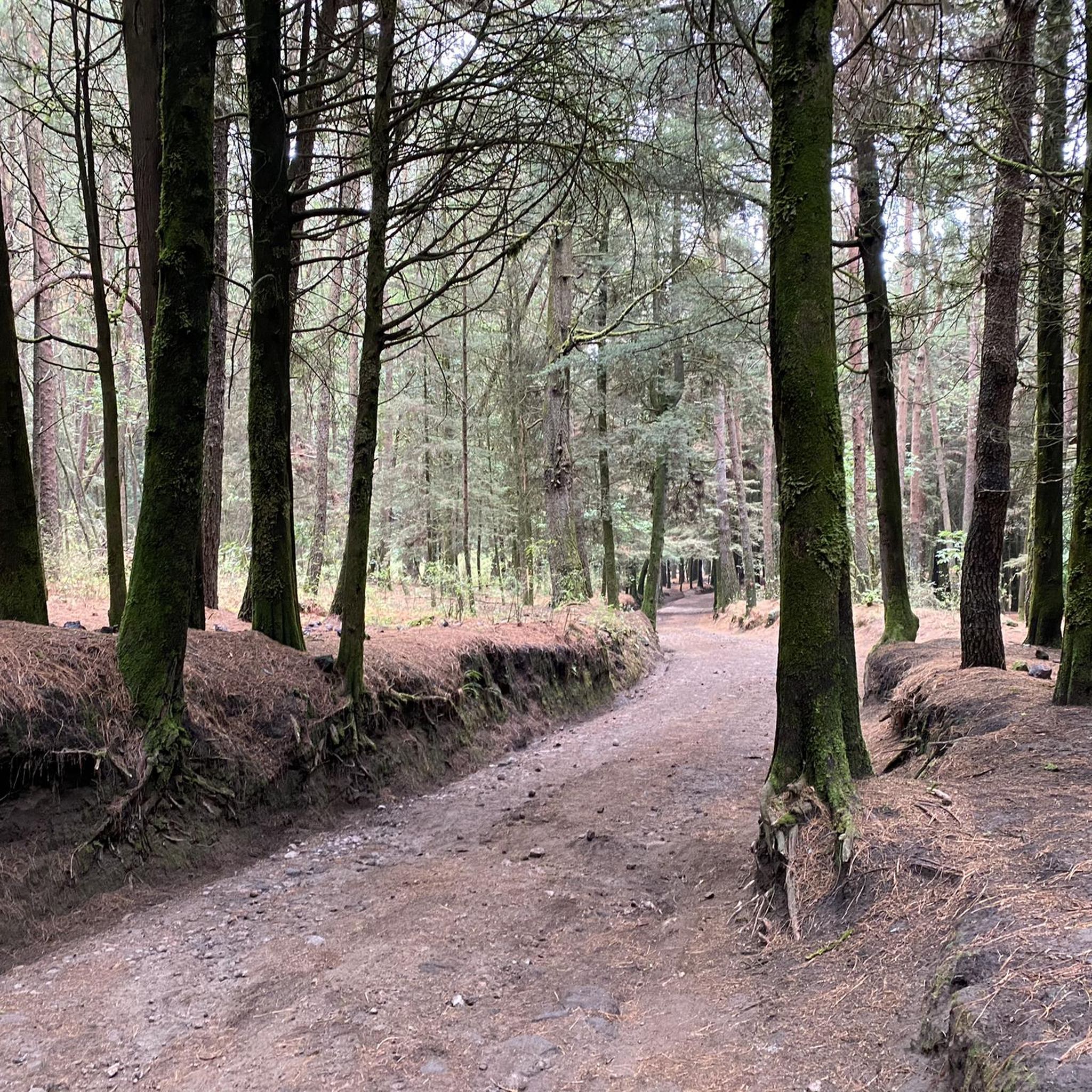
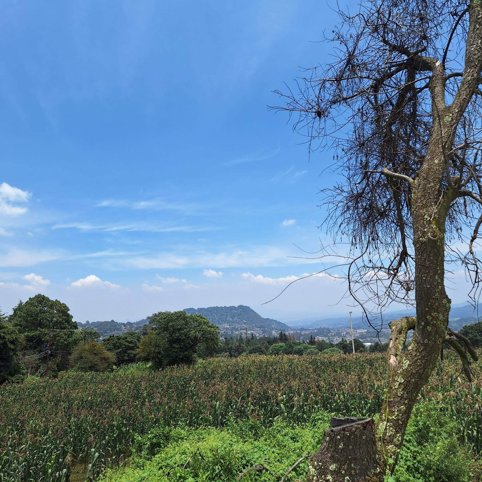
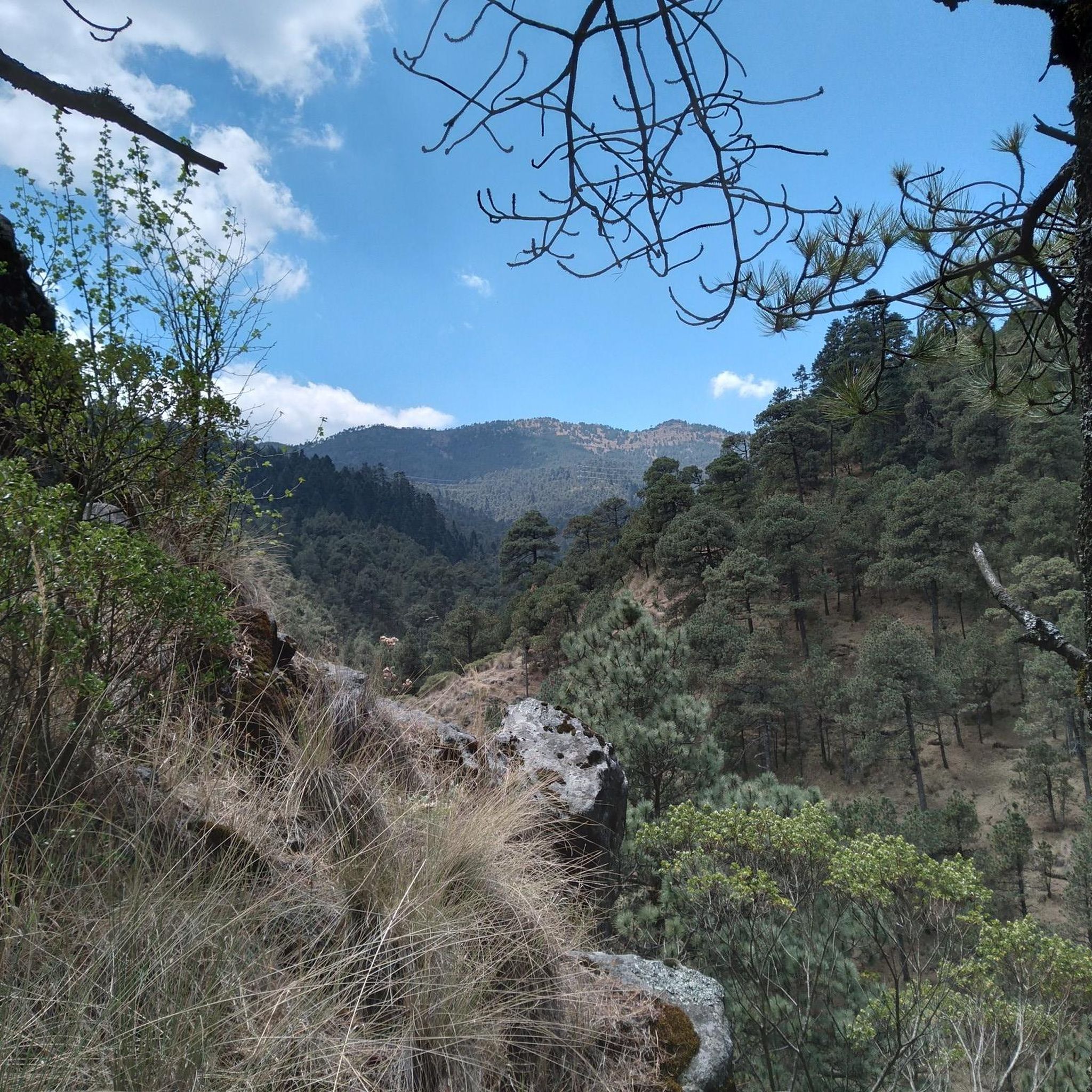
Hiking trails in Álvaro Obregón offer diverse landscapes within Mexico City, characterized by hills, river valleys, and ecological reserves. The terrain includes varied paths, from gentle slopes along waterways to more challenging ascents on hills like Cerro de Coconetla. Natural features such as waterfalls and the Río Magdalena are prominent along many routes. The area provides a range of hiking experiences suitable for different fitness levels.
Best hiking trails in Álvaro Obregón
- The most popular hiking route is Waterfall –…
Last updated: August 25, 2026
5.0
(5)
32
hikers
Moderate hike. Good fitness required. Easily-accessible paths. Suitable for all skill levels.
5.0
(8)
47
hikers
10.6km
03:28
470m
470m
Moderate hike. Good fitness required. Easily-accessible paths. Suitable for all skill levels.

Sign up for free
5.0
(4)
28
hikers
Moderate hike. Good fitness required. Easily-accessible paths. Suitable for all skill levels.
5.0
(1)
21
hikers
12.1km
04:17
680m
680m
Moderate hike. Good fitness required. Easily-accessible paths. Suitable for all skill levels.
5.0
(6)
34
hikers
7.76km
02:32
350m
350m
Moderate hike. Good fitness required. Easily-accessible paths. Suitable for all skill levels.
5.0
(2)
6
hikers
12.9km
04:26
660m
650m
Moderate hike. Good fitness required. Easily-accessible paths. Suitable for all skill levels.
13
hikers
3.51km
01:09
160m
160m
Easy hike. Great for any fitness level. Easily-accessible paths. Suitable for all skill levels.
5.0
(1)
4
hikers
17.2km
05:25
640m
650m
Hard hike. Very good fitness required. Easily-accessible paths. Suitable for all skill levels.
5.0
(1)
5
hikers
Moderate hike. Good fitness required. Easily-accessible paths. Suitable for all skill levels.
Get access to more routes and recommendations from other explorers.
Sign up for free
Already have an account?
Our route recommendations are based on thousands of hikes, rides, and runs completed by other people on komoot.
Start today with a free account
Your next adventure awaits.
Login or Signup


Tips from the Community

a beautiful place where with luck you can find running water
0
0

A cabin in Truchero where you can eat delicious food, relax, watch the fish, and continue along a trail, for example, climb to the Puerta del Cielo (Heaven's Gate) to enjoy the viewpoint. To get here, go through the access gate to the fourth dynamo, continue up the cobblestone path toward Jarillar, and further on, cross the path to Coconetla. Continue up the cobblestone path and you'll find the turnoff to the left where the dirt road leads to the river.
1
0
Designed to transport water from the aqueduct to the dynamos to generate hydroelectric power. If you enjoy adrenaline and adventure, you can cross them with caution, but during the rainy season, it's best to avoid them because they're slippery. However, you'll need to know your skills and be careful when doing so. The impressiveness of this place raises certain questions: How did they bring the materials up during the Revolution to build it? How long did it take? Why was it abandoned?...etc. Located on the path that connects to viewpoints and hiking trails in the area.
1
0

Very nice place for a picnic, playing ball with children, resting from the climb
0
0
A spectacular place in one of my favorite places, Los Dinamos! If you go towards La Coconetla or towards the Desert of the Lions, you will find this place where the river stops.
1
0

It is a perfect place to camp and enjoy a day in the forest by the river.
1
0
Routes with heavy and very difficult ascents, but with a quite fun descent.
0
0
The areas surrounding the cliffs are full of rivers, ravines, and hills; an important tip is to avoid visiting during the rainy season. The best time of year to visit and camp is between late October and the first weeks of February.
0
0
Frequently Asked Questions
What kind of terrain and landscapes can I expect on hiking trails in Álvaro Obregón?
Hiking in Álvaro Obregón offers diverse landscapes within Mexico City, characterized by hills, river valleys, and ecological reserves. You'll find varied paths, from gentle slopes along waterways to more challenging ascents on hills like Cerro de Coconetla. Natural features such as waterfalls and the Río Magdalena are prominent along many routes, particularly in areas like Los Dinamos and Reserva Ecológica Comunitaria San Bernabé Ocotepec.
How many hiking trails are available in Álvaro Obregón?
Álvaro Obregón features 11 hiking routes, catering to a range of abilities. These include 1 easy trail, 9 moderate trails, and 1 difficult trail, ensuring options for various fitness levels.
Are there any easy hiking trails suitable for beginners in Álvaro Obregón?
Yes, there is an easy trail available. For a shorter, less strenuous option, consider the Waterfall loop from Cerro de Coconetla. This route is 3.5 km long and takes approximately 1 hour 9 minutes to complete, offering a pleasant walk with waterfall views.
Are there any trails with waterfalls in Álvaro Obregón?
Yes, waterfalls are a prominent feature on many trails in Álvaro Obregón. A popular option is the Waterfall – Río Magdalena loop from Reserva Ecológica Comunitaria San Bernabé Ocotepec, which is a moderate 10.9 km trail following the Río Magdalena. Another great choice is the Waterfall – Puerta del Cielo loop from Cerro de Coconetla, offering scenic views and waterfalls.
What do other hikers enjoy most about hiking in Álvaro Obregón?
The hiking routes in Álvaro Obregón are highly rated by the komoot community, with an average score of 4.7 stars from over 190 reviews. Hikers often praise the diverse terrain, the beauty of the waterfalls, and the well-maintained paths through ecological reserves and river valleys.
Are there any challenging hikes for experienced trekkers in Álvaro Obregón?
For those seeking a more challenging experience, Álvaro Obregón offers a difficult trail. The Ruins of an Old Stone Building – Waterfall loop from Cerro de Coconetla is a demanding 17.2 km route that takes approximately 5 hours 25 minutes to complete, featuring significant elevation changes and historical ruins.
Are there any circular hiking routes in Álvaro Obregón?
Many of the trails in Álvaro Obregón are circular loops, providing convenient starting and ending points. Examples include the Cerro San Miguel, Los Dinamos loop from Cerro de Coconetla, which explores rugged landscapes, and the Waterfall – La Coconetla Hill loop from Cerro de Coconetla.
What are some notable landmarks or attractions I can see near the hiking trails?
While hiking in Álvaro Obregón, you can explore several interesting landmarks. The Cuarto Dínamo Ruins offer a glimpse into the area's industrial past. For panoramic views, consider visiting the 4th Dinamo Viewpoint or the Peñas de Shiro Viewpoint by the Hermitage.
Are there any hikes that explore the Río Magdalena area?
Yes, the Río Magdalena is a significant natural feature with several trails. The Río Magdalena – Waterfall loop from Reserva Ecológica Comunitaria San Bernabé Ocotepec is a moderate 7 km route that follows the river and features waterfalls. Another option is the Puerta del Cielo – Río Magdalena loop from Tercer Dinamo, a longer 12.9 km trail.
Are there any trails suitable for families with children?
While specific 'family-friendly' designations aren't provided, the easy-rated Waterfall loop from Cerro de Coconetla is a shorter, less strenuous option that could be suitable for families looking for a gentle walk with scenic elements like waterfalls.
Are there any trails that offer views of Cerro San Miguel?
Yes, the Cerro San Miguel, Los Dinamos loop from Cerro de Coconetla is a moderate 12.1 km trail that includes elevation gain to Cerro San Miguel, offering views of the rugged landscape around Los Dinamos.
Most popular routes in Álvaro Obregón
Most popular attractions in Álvaro Obregón

Get inspired with the komoot mobile app


Didn’t find what you were looking for?
Check out more Hikes throughout Álvaro Obregón below and find the perfect route in your destination.
Explore more
Browse the best Hikes in other regions.
