The best walks and hikes around Dietfurt an der Altmühl
4.6
(1338)
5,237
hikers
189
hikes
Hiking trails around Dietfurt an der Altmühl are situated within the Altmühltal Nature Park, characterized by its quiet atmosphere and varied landscapes. The region features wide Jura heights, romantic valleys, and extensive forests, shaped by the meandering Altmühl River and the Main-Danube Canal. Geological formations include a Jurassic limestone plateau, leading to distinctive rock scenery and gorges.
Best hiking trails around Dietfurt an der Altmühl
- The most popular hiking route is Höhlenkundlicher Wanderweg (Caving Trail) – Altmühltal Nature Park,…
Last updated: June 29, 2026
4.7
(65)
209
hikers
8.10km
02:23
210m
210m
Moderate hike. Good fitness required. Mostly accessible paths. Sure-footedness required.
4.6
(34)
134
hikers
13.7km
03:51
270m
270m
Moderate hike. Good fitness required. Mostly accessible paths. Sure-footedness required.

Sign up for free
4.7
(67)
238
hikers
Moderate hike. Good fitness required. Easily-accessible paths. Suitable for all skill levels.
4.5
(24)
94
hikers
15.4km
04:22
310m
310m
Moderate hike. Good fitness required. Easily-accessible paths. Suitable for all skill levels.
4.8
(29)
104
hikers
9.10km
02:36
210m
210m
Moderate hike. Good fitness required. Easily-accessible paths. Suitable for all skill levels.
Get access to more routes and recommendations from other explorers.
Sign up for free
Already have an account?
Our route recommendations are based on thousands of hikes, rides, and runs completed by other people on komoot.
Start today with a free account
Your next adventure awaits.
Login or Signup
Popular around Dietfurt a.d. Altmühl
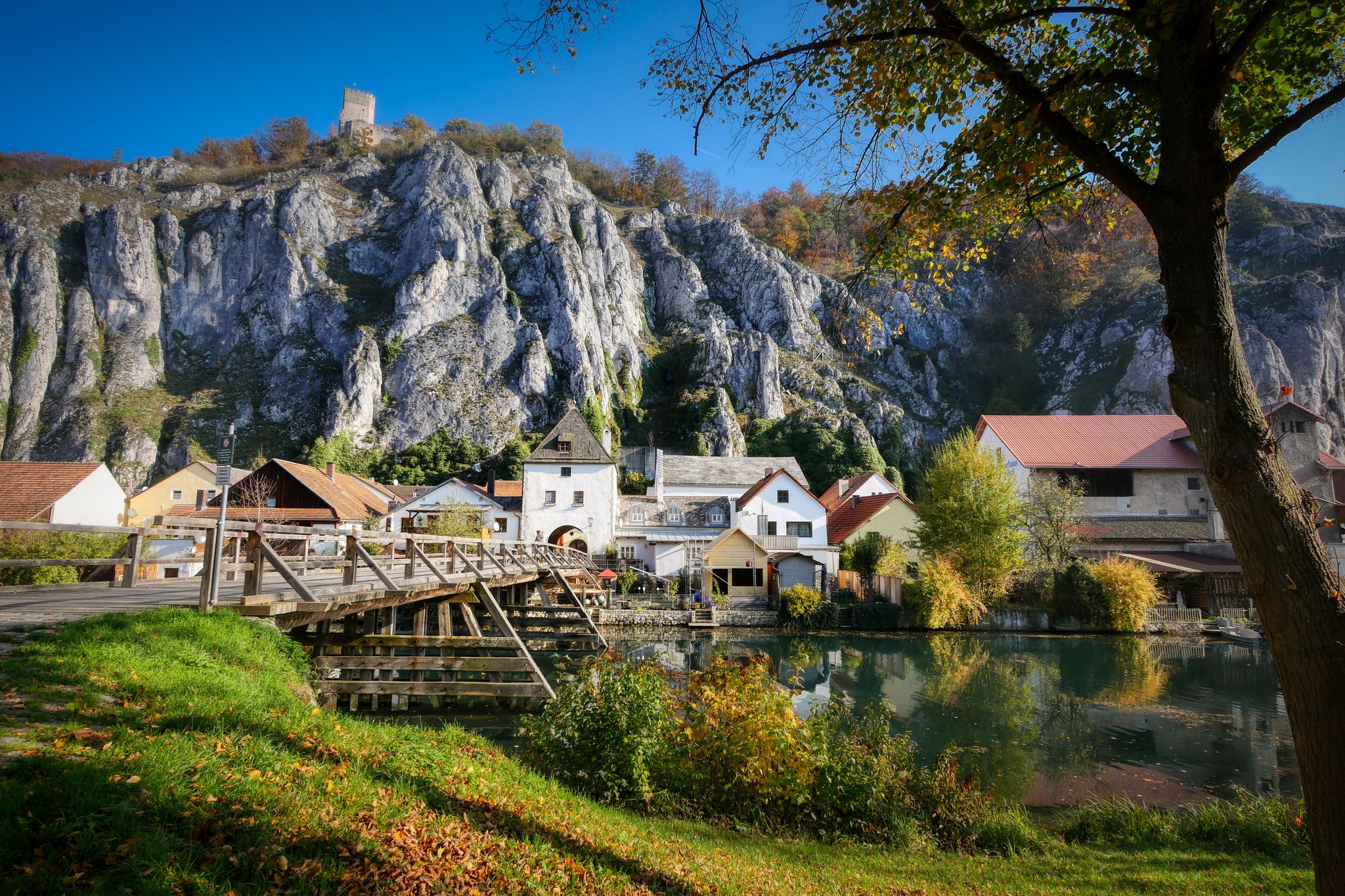
Jurasteig — hiking in the heart of Bavaria
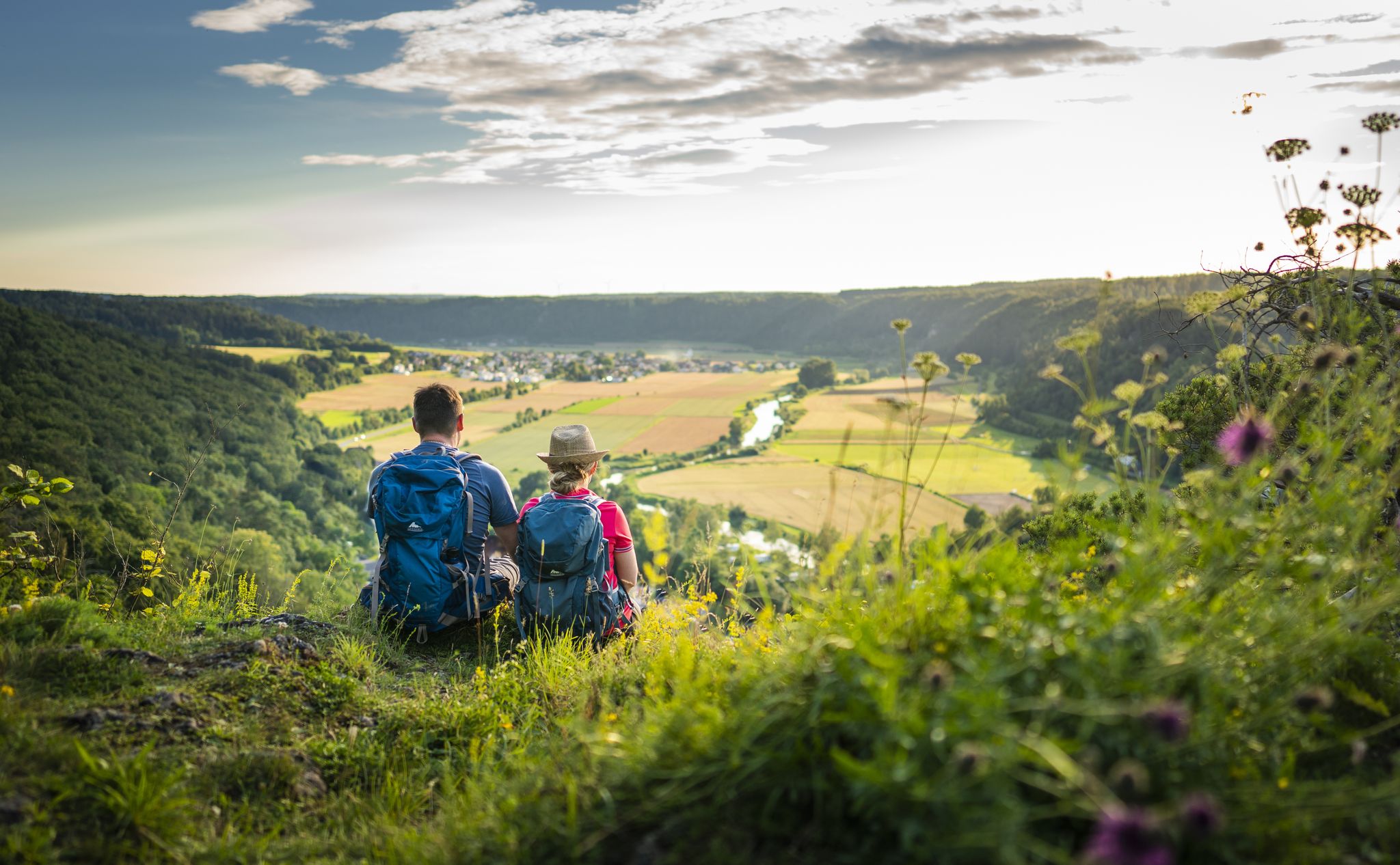
Sunny hiking loops – glorious autumn in the Altmühltal Nature Park
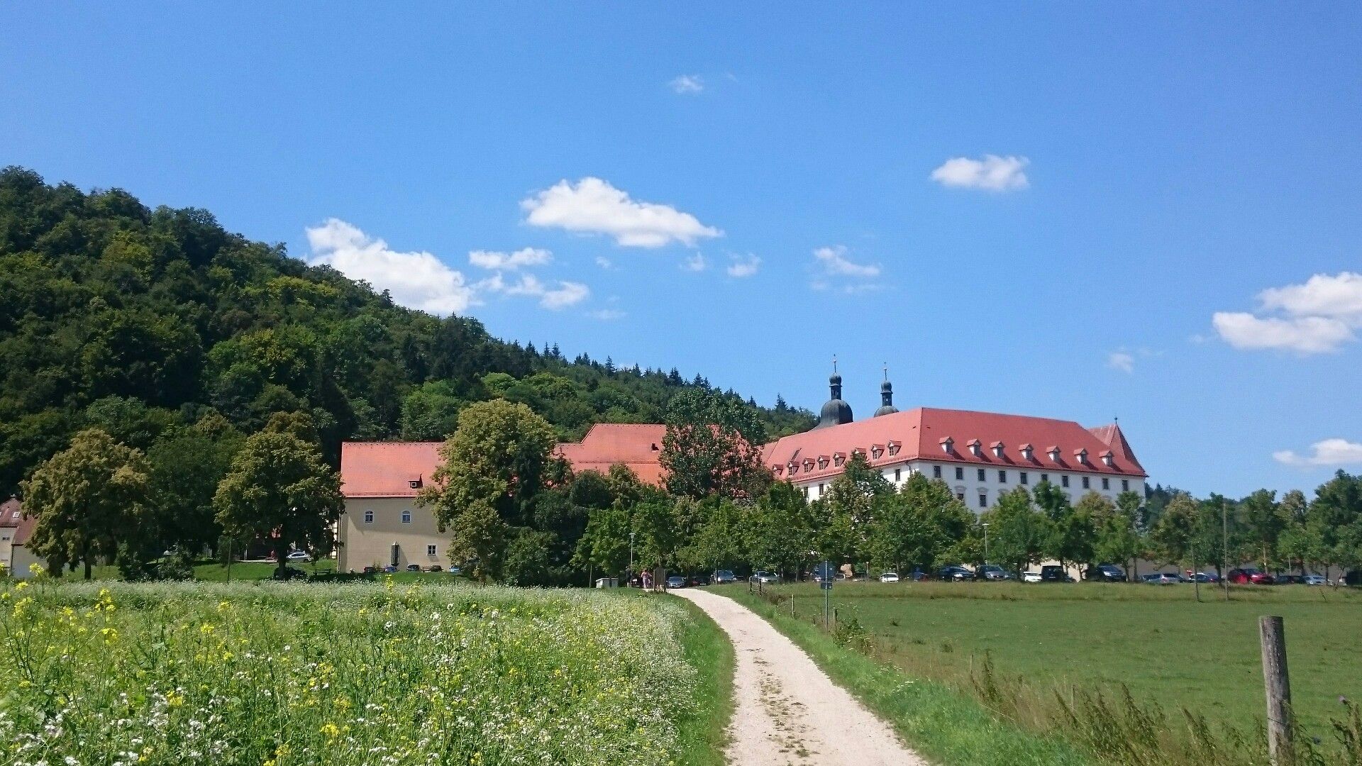
Hiking in the Altmühl Valley Nature Park – Jura2000-Tour
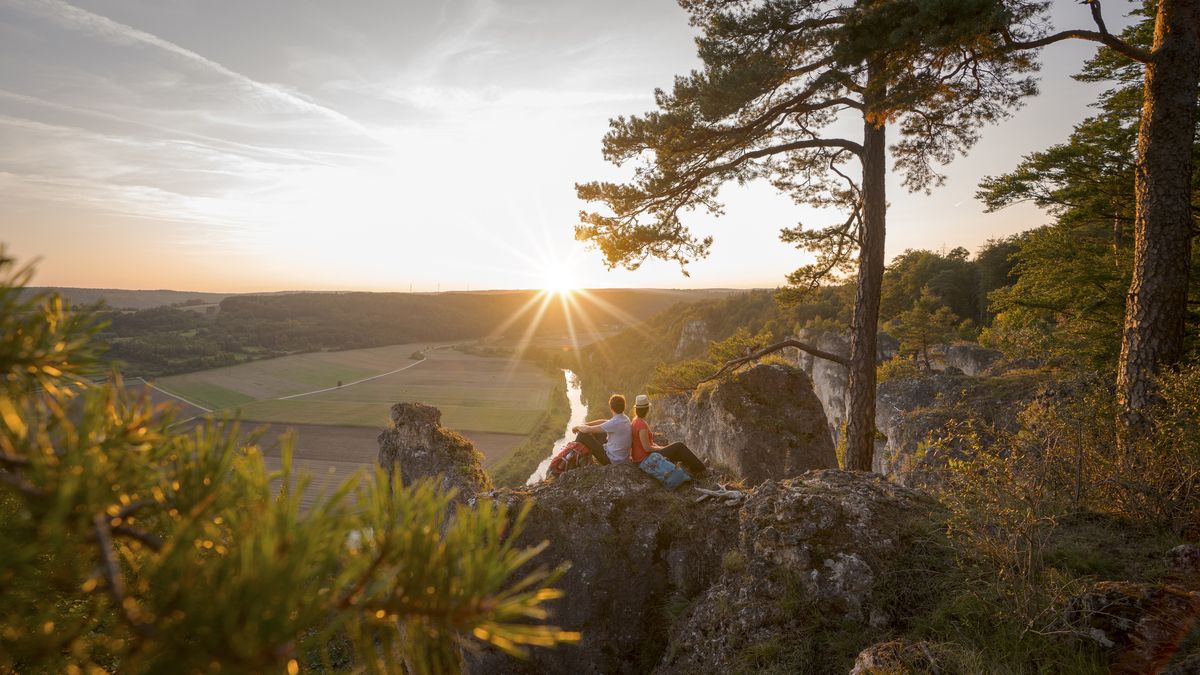
Wonderful nature and endless variety – Altmühltal Nature Park
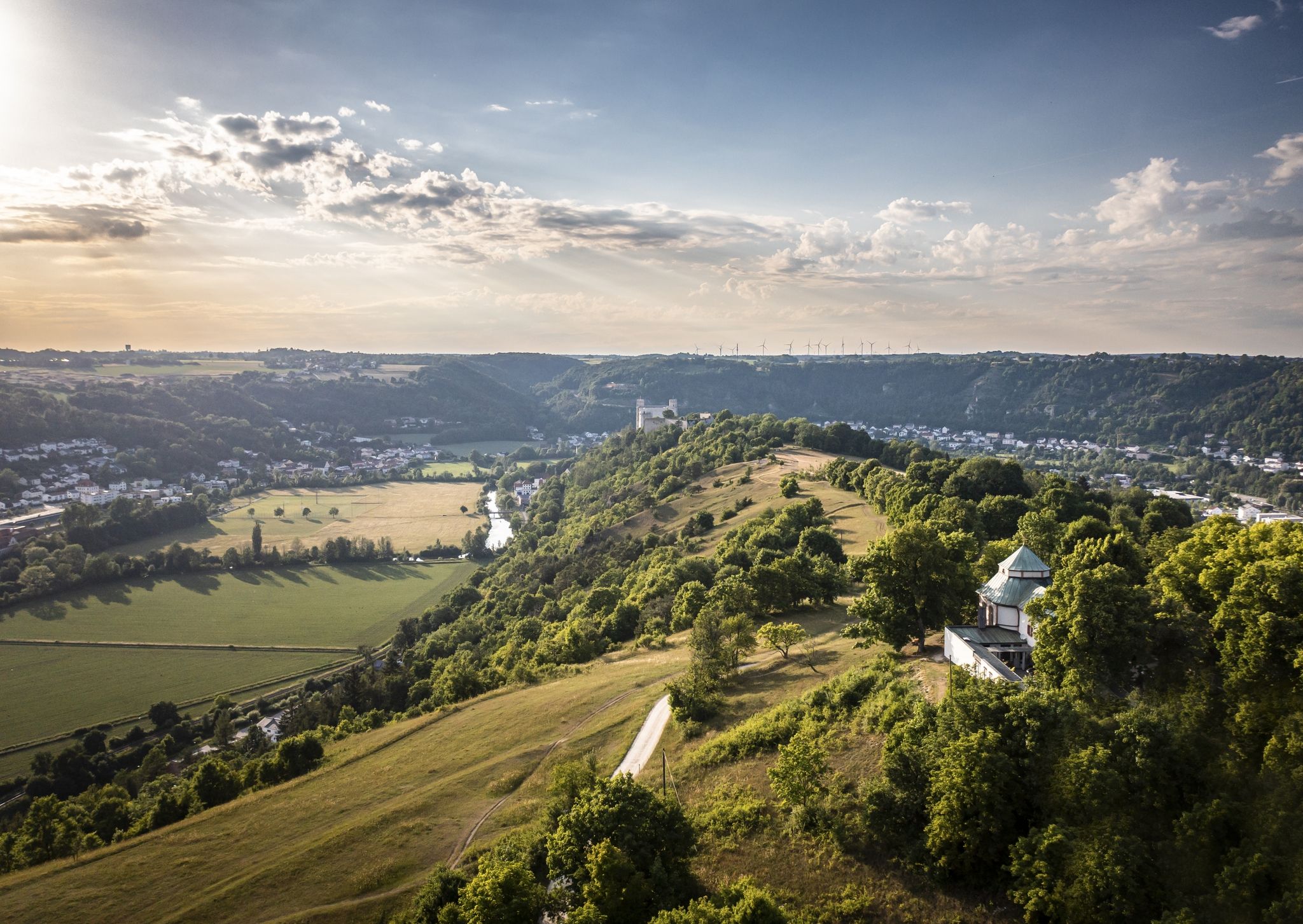
Altmühltal Panorama Trail – Altmühlsee to the Danube
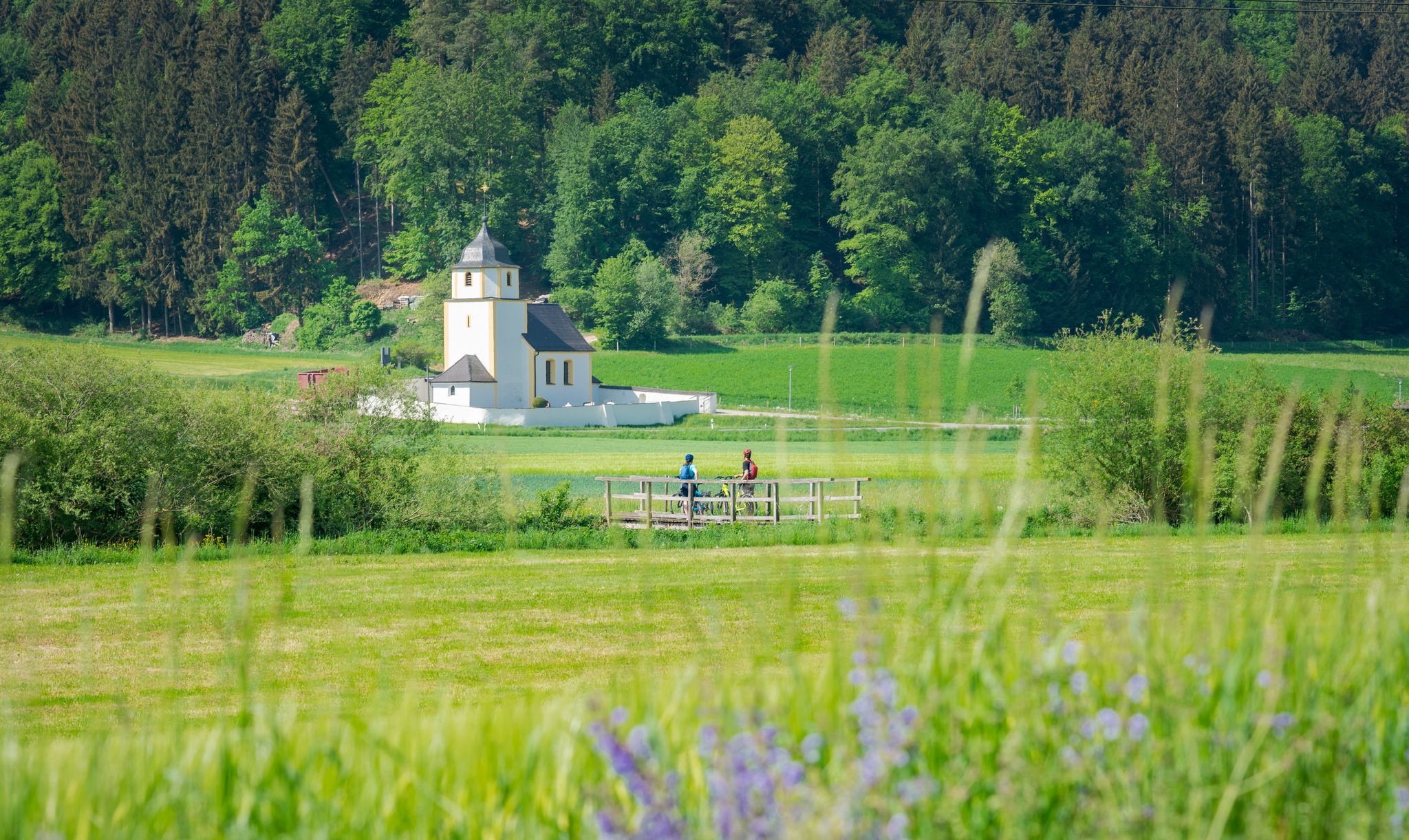
A cycling paradise in Bavaria – Altmühl Valley Nature Park
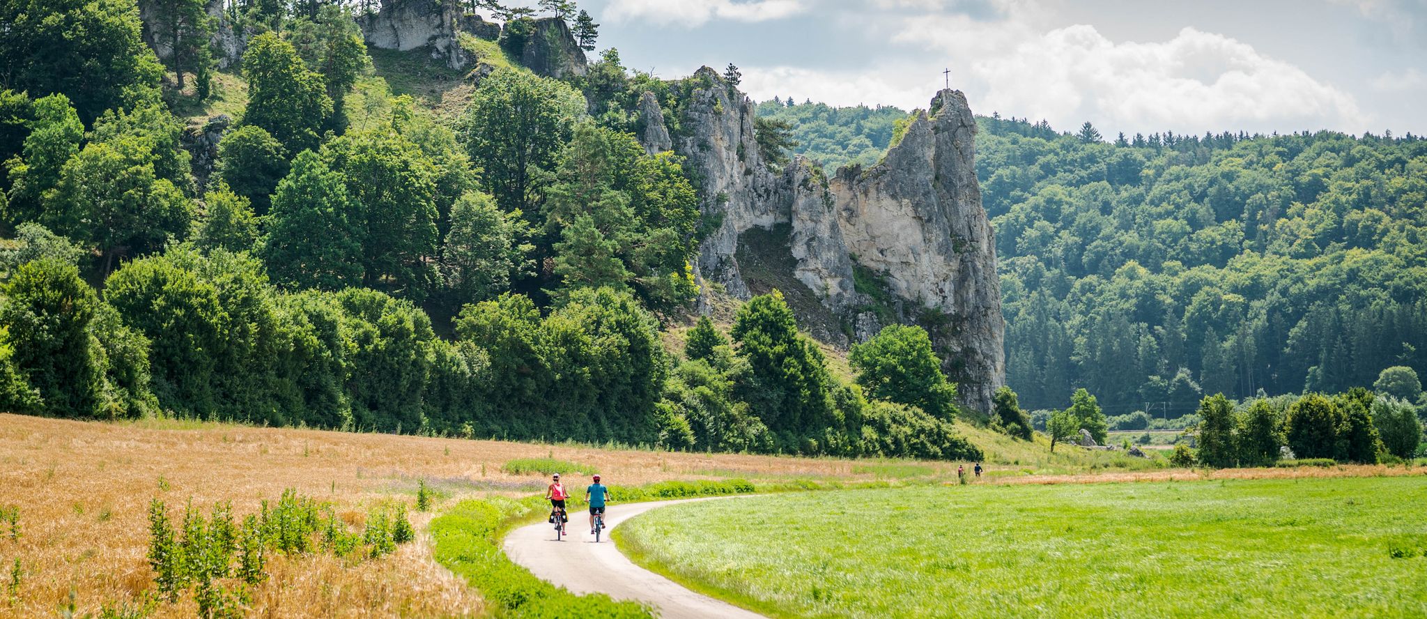
Pure variety – cycle Tours in the Altmühltal Nature Park
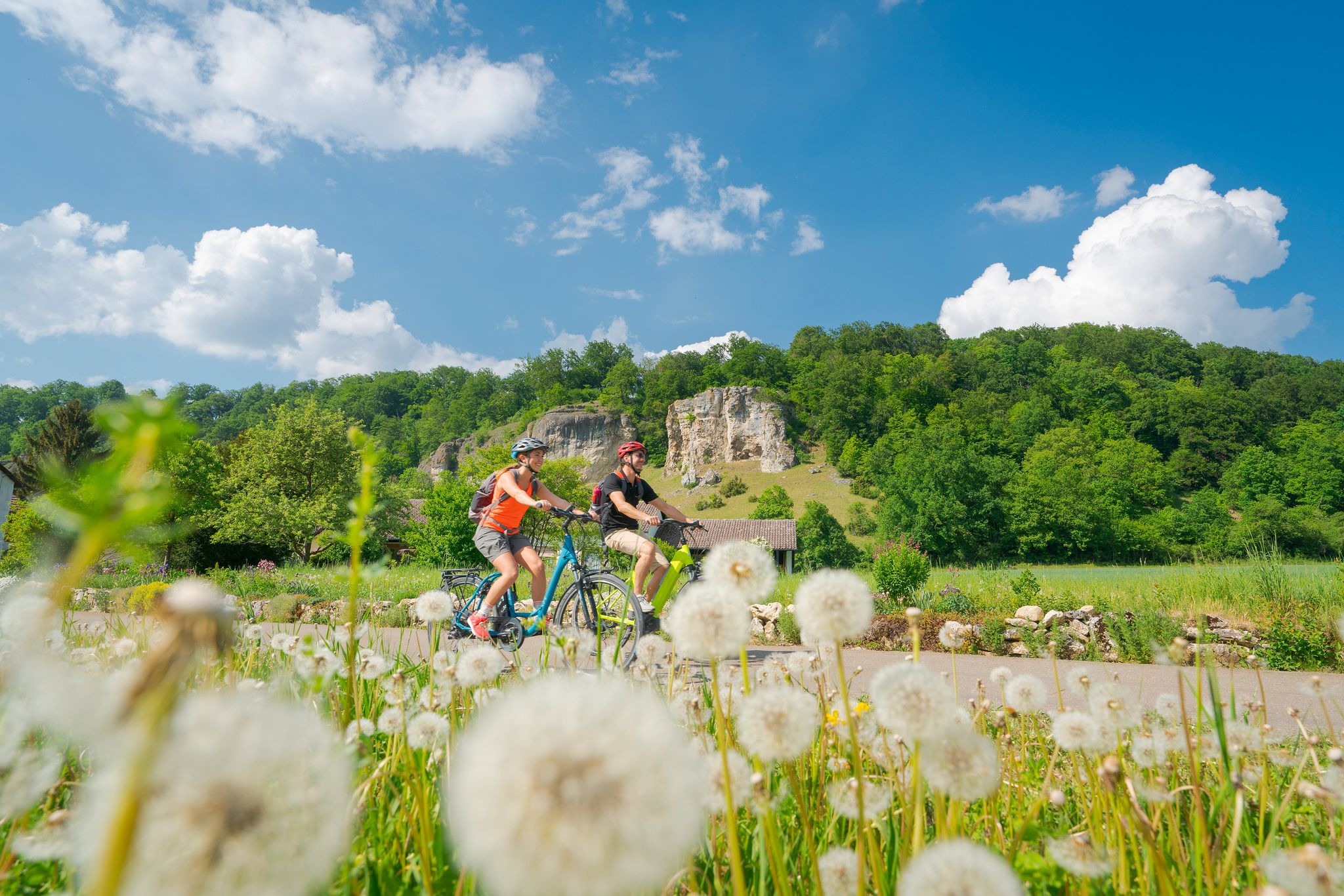
Discover the green heart of Bavaria – Altmühltal Nature Park by bike
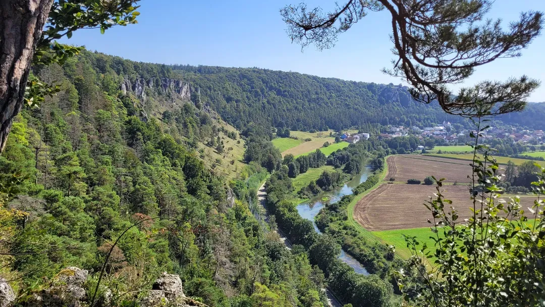
Raus in die Natur: Wandern & Campen in Bayerns schönsten Naturregionen
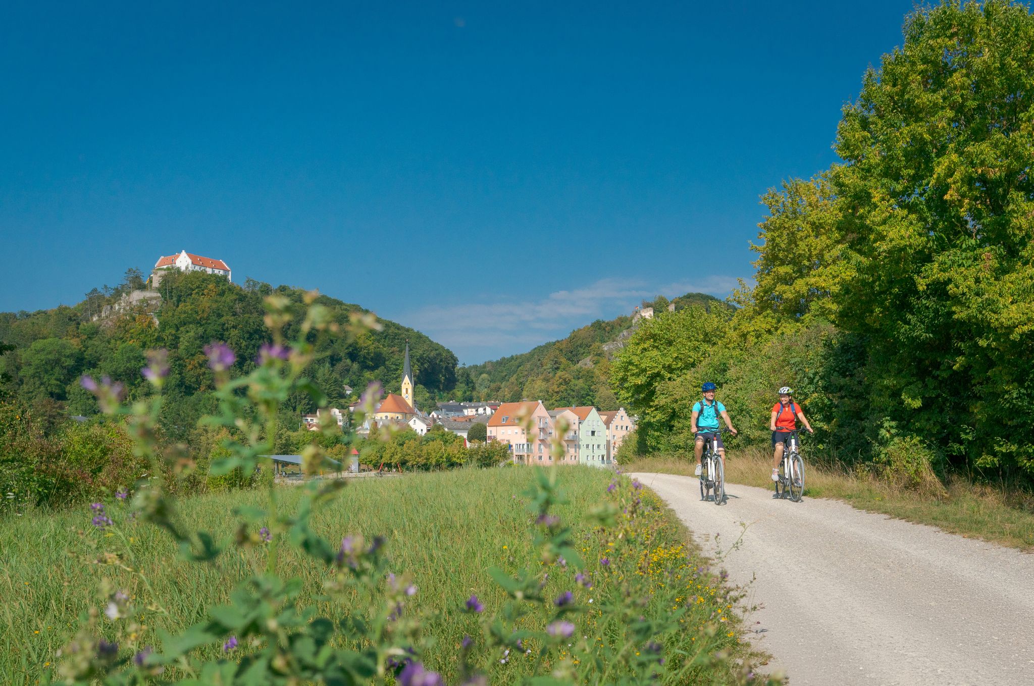
Radfahren und Genießen im Naturpark Altmühltal
Other adventures around Dietfurt an der Altmühl


Tips from the Community

That's funny - I was a ferryman today
0
0

The path up here is not entirely easy. Currently (23.04.2026), the path to the bank is also quite overgrown and difficult to find.
0
0

At the end, you can get a good look at the individual rock layers. There's also a small station for children to test their sense of touch.
0
0

The small raft is a popular way for cyclists and hikers to cross the Ludwig-Danube-Main Canal by water. The motto is DIY, meaning the small cable ferry is manually operated. The crossing allows for the uninterrupted continuation of hiking trails W3 and R1.
0
0

The ferry is available 24/7. It operates by pulling a rope. ‼️ Be careful when boarding and disembarking, and drive the ferry as close to the shore as possible. The ferry may also rock slightly when disembarking.
0
0

To see the mill wheel you have to go into the building that is part of the museum. However, access is free.
0
0
Part of the beautiful old town ensemble on the main street of Dietfurt.
0
0
The Old Ludwig Canal and its successor, the Main-Danube Canal, are directly next to each other within sight.
0
0
Frequently Asked Questions
How many hiking trails are available in Dietfurt a.d. Altmühl?
Dietfurt a.d. Altmühl offers a wide variety of hiking experiences, with nearly 200 routes available. These range from easy strolls to more challenging treks, catering to all skill levels. You'll find approximately 85 easy, 85 moderate, and 17 difficult trails to explore.
What kind of terrain and landscapes can I expect on hikes around Dietfurt a.d. Altmühl?
The region is characterized by diverse landscapes, including wide Jura heights, romantic valleys, and extensive forests. You'll encounter the meandering Altmühl River, the Main-Danube Canal, and geological features like a Jurassic limestone plateau, which has created distinctive rock scenery, gorges, and karst features. Many trails offer breathtaking views over the Altmühl Valley.
Are there any easy or beginner-friendly hiking routes in Dietfurt a.d. Altmühl?
Yes, there are many easy routes suitable for beginners or those looking for a relaxed walk. Over 85 trails are classified as easy. Routes following the Altmühl River are generally gentle and ideal for enjoying the unspoiled nature. A good example is the Water Wheel at Obermühle – Old Ludwig Canal loop from Schweinkofen, which is a moderate trail with relatively low elevation gain, making it accessible for many.
Can I find circular hiking trails in Dietfurt a.d. Altmühl?
Yes, many of the hiking routes in Dietfurt a.d. Altmühl are designed as circular walks, allowing you to start and end at the same point. An excellent example is the Water Wheel at Obermühle – Old Ludwig Canal loop from Schweinkofen, which takes you through riverine landscapes and past historical waterways.
What natural features or landmarks can I see while hiking in the area?
Hikers can discover a wealth of natural features and landmarks. The region boasts distinctive rock scenery, gorges, and karst features, including Bavaria's largest karst spring and the Mühlbach spring cave. You can also explore magnificent juniper heaths and enjoy expansive views from elevated points like the Kreuzberg path. Don't miss the Friedrichsruh Cave or the Stone Steps through the Klamm and Kastlhäng Nature Reserve.
Are there any trails with good viewpoints in Dietfurt a.d. Altmühl?
Absolutely. Many trails ascend to elevated points offering expansive views over the Altmühl Valley. Specific paths like the Kreuzberg path, Wildensteiner Steig, and routes to Kopffelsen and Wolfsberg are renowned for their scenic beauty. The Kreuzberg/Weiße Laber Nature Trail is a great option for varied terrain and scenic vistas, including the View from Kreuzberg overlooking Dietfurt.
What do other hikers enjoy most about hiking in Dietfurt a.d. Altmühl?
The hiking routes in Dietfurt a.d. Altmühl are highly rated by the komoot community, with an average score of 4.6 stars from over 1200 reviews. Hikers often praise the quiet atmosphere, the varied landscapes, and the well-maintained trails that cater to different ability levels. The combination of river valleys, Jura heights, and historical waterways makes for a truly enjoyable experience.
Are there family-friendly hiking options in Dietfurt a.d. Altmühl?
Yes, Dietfurt a.d. Altmühl offers several family-friendly hiking options. The gentle current of the Altmühl River makes trails along its banks ideal for families. The Höhlenkundlicher Wanderweg (Caving Trail) – Altmühltal Nature Park is a moderate trail that leads through a forest and past the Mühlbach spring cave, offering an engaging experience for children and adults alike.
Is Dietfurt a.d. Altmühl a dog-friendly hiking destination?
Yes, the Altmühltal Nature Park, where Dietfurt a.d. Altmühl is located, is generally very welcoming to dogs. Many trails are suitable for hiking with your canine companion, offering plenty of natural spaces to explore. Always remember to keep your dog on a leash where required and clean up after them to preserve the natural environment for everyone.
Are there any historical sites or cultural attractions along the hiking trails?
Yes, you can integrate cultural exploration into your hikes. The region is rich in history, with sites like the historical King Ludwig Canal and various monuments along the Altmühl River. While hiking, you might encounter historical buildings or even ruins like Arnsberg Castle. The nearby historic Old Town of Berching, with its well-preserved city wall, is also worth a visit.
What is the best time of year to go hiking in Dietfurt a.d. Altmühl?
Dietfurt a.d. Altmühl offers enjoyable hiking experiences throughout much of the year. Spring brings blooming landscapes, while summer provides warm weather for exploring the valleys and rivers. Autumn is particularly beautiful with vibrant fall foliage. Even in winter, some trails are accessible, offering a quiet, serene experience, especially through the extensive forests.
Are there options for food and drink near the hiking trails?
Yes, you'll find opportunities for refreshments. The region has various idyllic rest areas, and you can often find traditional Bavarian guesthouses or cafes in the towns and villages along the routes. For example, the Gasthaus Zum Himmelreich is a place where hikers can stop for a meal or a drink.
Most popular routes around Dietfurt an der Altmühl
Most popular attractions around Dietfurt an der Altmühl

Get inspired with the komoot mobile app


Explore more
Browse the best Hikes in other regions.
