The best running trails in Alajuelita
4.5
(6)
568
runners
57
runs
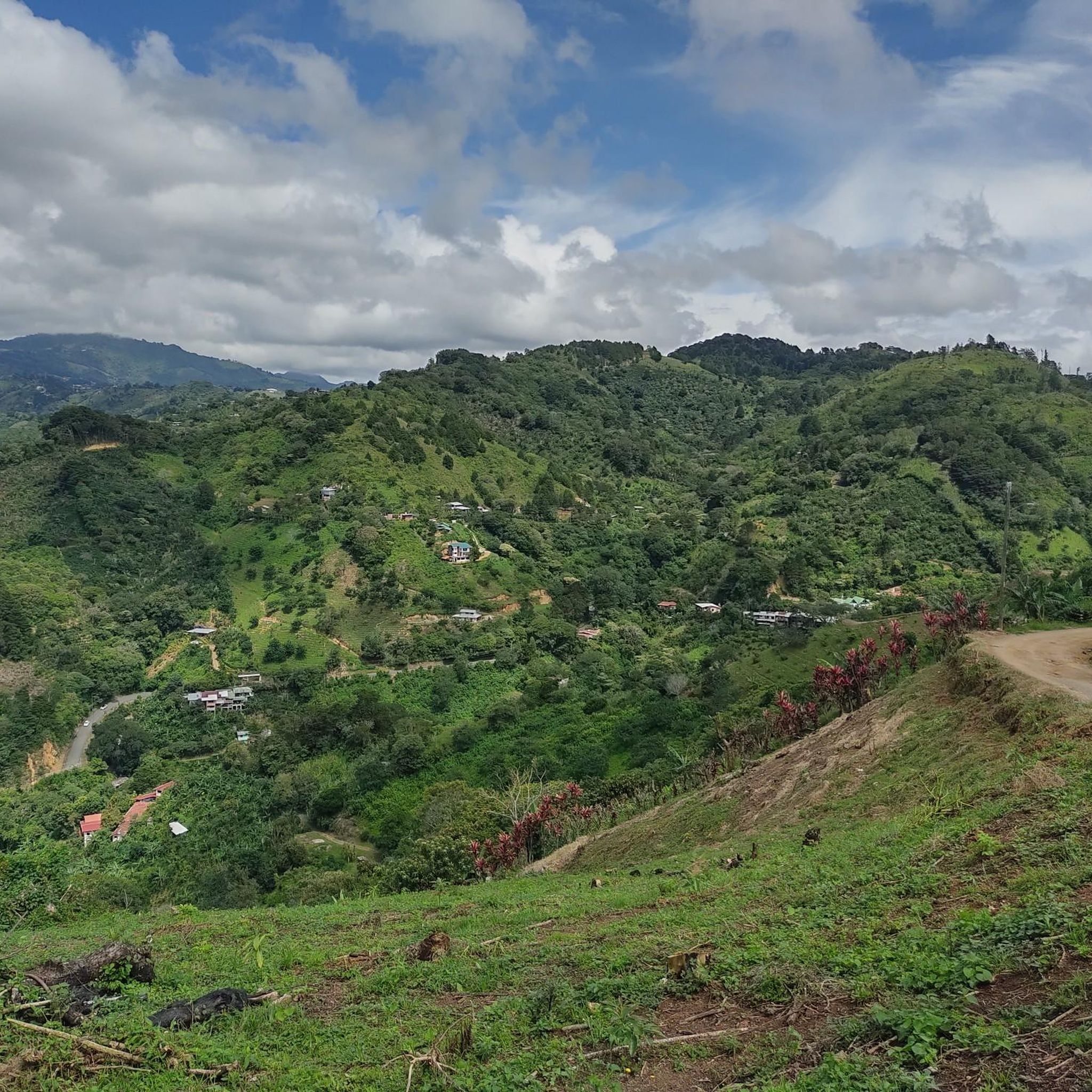
Jogging routes in Alajuelita offer varied terrain within a mountainous region southwest of San José, Costa Rica. The canton features a mean elevation of 1,194 meters (3,917 ft), providing opportunities for runs with significant inclines. The landscape is characterized by lush, green mountains and is delineated by rivers such as the Tiribí, Cañas, and Poás. Prominent landmarks like Cerro San Miguel offer challenging ascents and panoramic views.
Best jogging routes in Alajuelita
- The most popular jogging route is Cerro San…
Last updated: July 1, 2026
5.0
(1)
149
runners
9.80km
01:03
100m
100m
Moderate run. Good fitness required. Mostly paved surfaces. Suitable for all skill levels.
10
runners
Hard run. Very good fitness required. Mostly paved surfaces. Suitable for all skill levels.

Sign up for free
38
runners
13.0km
01:22
90m
100m
Moderate run. Good fitness required. Mostly paved surfaces. Suitable for all skill levels.
12
runners
22.6km
02:23
250m
250m
Hard run. Very good fitness required. Mostly paved surfaces. Suitable for all skill levels.
8
runners
5.03km
00:32
40m
40m
Moderate run. Good fitness required. Mostly paved surfaces. Suitable for all skill levels.
9
runners
21.6km
02:16
170m
170m
Hard run. Very good fitness required. Mostly paved surfaces. Suitable for all skill levels.
8
runners
16.4km
02:47
1,120m
1,120m
Hard run. Very good fitness required. Sure-footedness, sturdy shoes and alpine experience required.
4
runners
9.61km
01:00
60m
60m
Moderate run. Good fitness required. Mostly paved surfaces. Suitable for all skill levels.
8
runners
16.4km
01:43
150m
150m
Hard run. Very good fitness required. Mostly paved surfaces. Suitable for all skill levels.
4
runners
9.07km
00:58
110m
110m
Moderate run. Good fitness required. Mostly paved surfaces. Suitable for all skill levels.
Get access to more routes and recommendations from other explorers.
Sign up for free
Already have an account?
Our route recommendations are based on thousands of hikes, rides, and runs completed by other people on komoot.
Start today with a free account
Your next adventure awaits.
Login or Signup
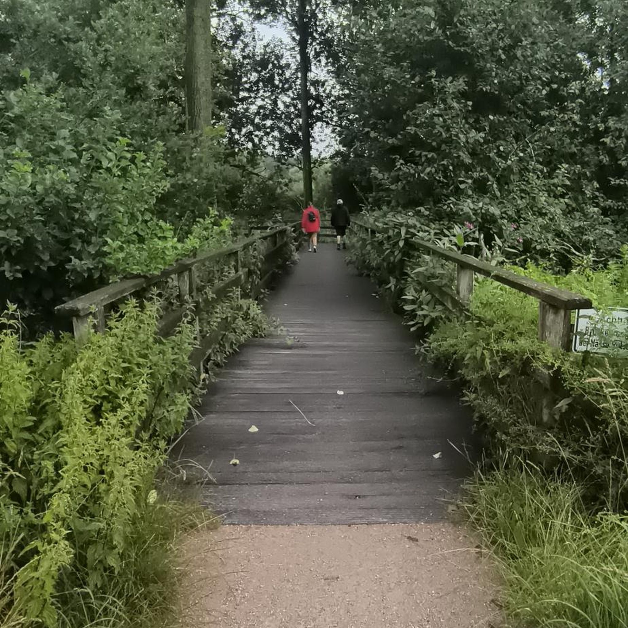
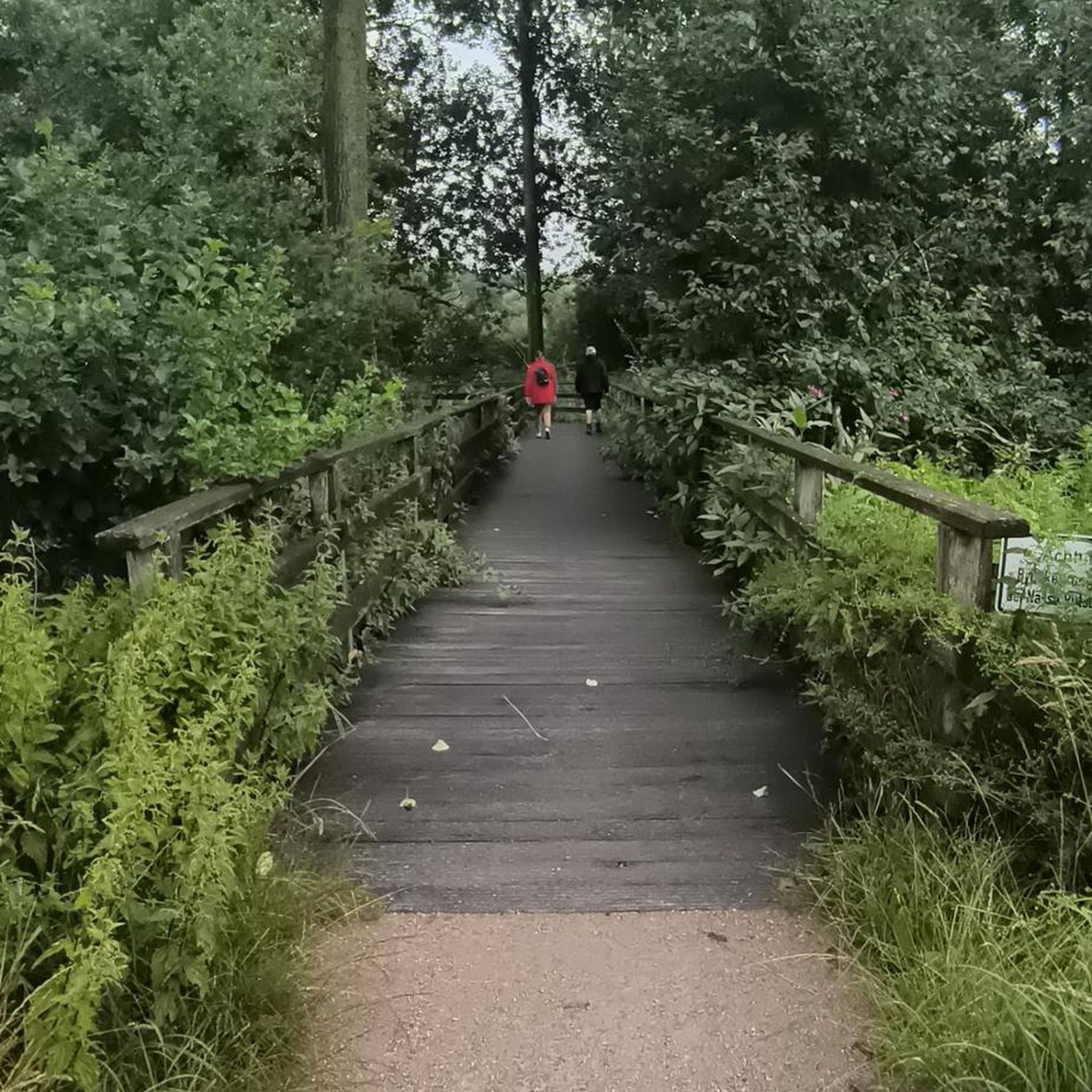
Tips from the Community

The National Theater of Costa Rica is the cultural heart of San José. This magnificent 19th-century building impresses with its neoclassical architecture, marble, frescoes, and gold decorations. Today, it hosts concerts, operas, and guided tours, making it a perfect place for a brief stop in the city. Centrally located, it's a popular meeting point for travelers, locals, and culture enthusiasts alike.
0
0

Tourist site, with no easier access.
1
0

Admission free. Definitely worth seeing!
0
0
I was told: to date it is the most important theater in the country.
1
0

A magnificent theater reminiscent of a rich and glorious time in San José!
1
0

The most significant building in San José, overlooking the Plaza de la Cultura and not far from the cathedral
0
0
Frequently Asked Questions
How many running routes are available in Alajuelita?
Komoot offers over 60 running routes in Alajuelita, catering to various preferences and fitness levels. The majority of these, around 46, are rated as moderate, with 15 routes considered difficult for those seeking a greater challenge.
What kind of terrain can I expect on running routes in Alajuelita?
Alajuelita's running routes are characterized by its mountainous terrain, lush greenery, and proximity to rivers. You'll find varied elevation, from strenuous inclines on mountain paths to relatively flatter sections, especially in urban green spaces. The region's mean elevation of 1,194 meters (3,917 ft) ensures a diverse running experience.
Are there any challenging running routes for experienced runners?
Yes, Alajuelita offers several challenging routes. For instance, the Cerro San Miguel loop from Alajuelita is a difficult 10.2-mile (16.4 km) trail with significant elevation gain, leading to a prominent landmark with expansive views. Another demanding option is the Parque Trejos de Montealegre – La Paco loop from Pavas Centro, which covers 14.1 miles (22.6 km) with substantial elevation changes.
Can I find easier or moderate running paths in the area?
Absolutely. While Alajuelita is known for its mountainous terrain, there are plenty of moderate options. The Sabana 10K 99% Grass loop from Tubo Tico (AyA) is a popular moderate 7.0-mile (11.2 km) path with a relatively flat profile, ideal for consistent pacing. Another moderate choice is the Amazing Spot for Running loop from Contraloría, which is 6.2 miles (9.9 km) long.
Are there any routes with scenic viewpoints or landmarks?
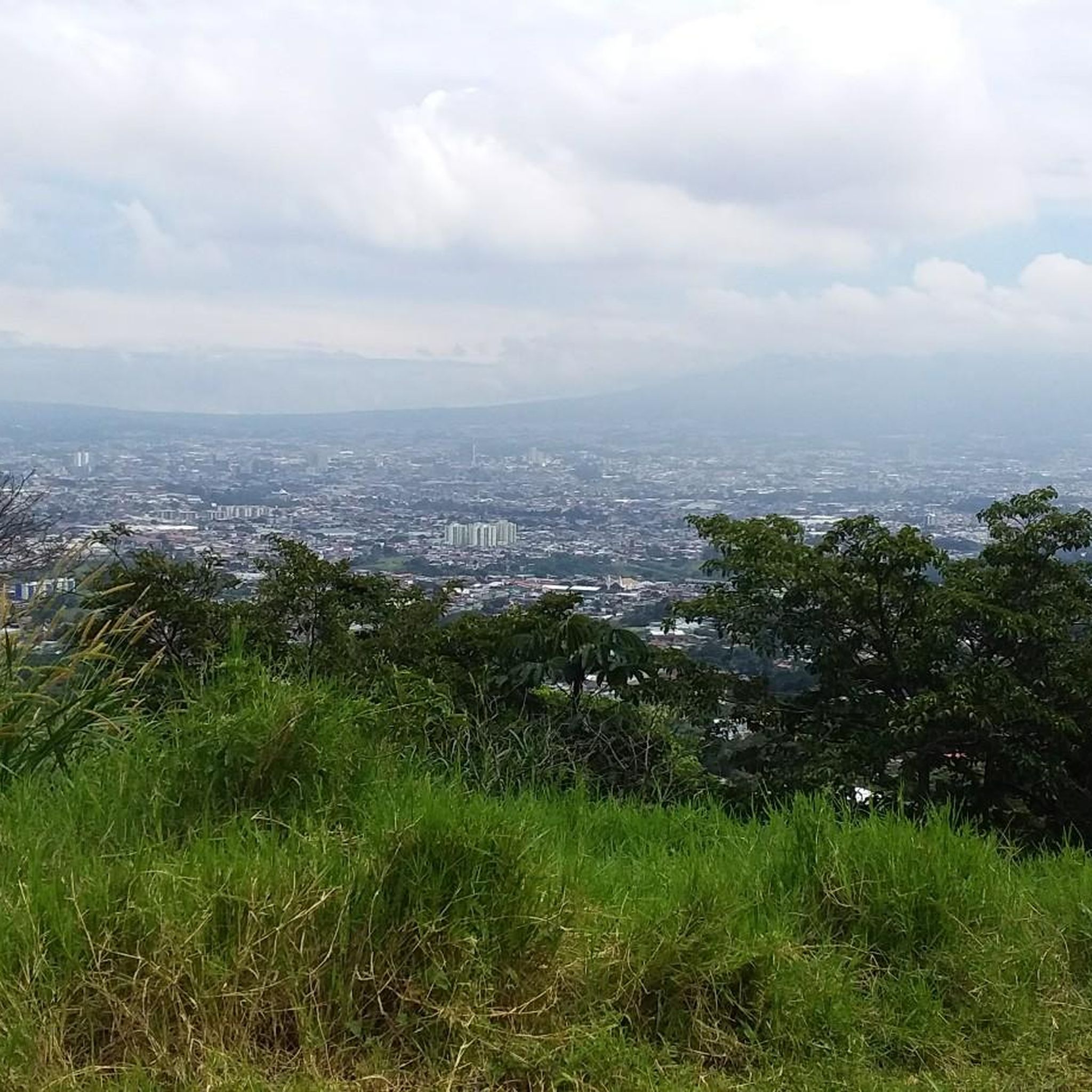
Yes, many routes offer scenic views. The ascent to Cerro San Miguel, for example, provides vigorous running with panoramic views. The region also features 'miradores' (restaurants on mountaintops) that offer stunning vistas of the San José city lights, indicating accessible scenic points. The National Theatre of Costa Rica – Amazing Spot for Running loop from San José also takes you through urban and green spaces with notable sights.
What is the best time of year or day to go jogging in Alajuelita?
The dry season (December to April) offers gorgeous weather with fresh mountain breezes, though midday temperatures can reach around 30 degrees Celsius (86 degrees Fahrenheit). During the wet season, sunny mornings are often followed by afternoon rains. For comfortable running, early morning or late afternoon are generally recommended to avoid the warmest parts of the day and potential afternoon showers.
Are the running routes in Alajuelita suitable for families?
While specific family-friendly routes are not detailed, the central park in Alajuelita, located in front of the Parroquia Nuestra Señora de Los Dolores cathedral, could offer a less strenuous urban green space for family jogs. For routes with varied terrain, it's best to check individual route descriptions for difficulty and length to ensure they match your family's capabilities.
Can I bring my dog on the running trails?
The guide does not specify dog-friendly policies for individual routes. It's advisable to check local regulations or specific route details on Komoot for information regarding pets before heading out with your dog.
Are there circular running routes available?
Yes, many of the running routes in Alajuelita are designed as loops, offering a convenient way to start and end your run at the same point. Examples include the Cerro San Miguel loop from Alajuelita and the Sabana 10K 99% Grass loop from Tubo Tico (AyA).
How do other runners rate the trails in Alajuelita?
The running routes in Alajuelita are highly rated by the komoot community, with an average score of 4.6 stars from over 5 reviews. More than 600 runners have used komoot to explore the varied terrain, indicating a positive overall experience.
What should I be aware of when running in Alajuelita's urban areas?
When running in urban areas near San José, including parts of Alajuelita, be mindful of potential challenges such as uneven sidewalks, traffic, and narrow roads. It's always recommended to be aware of your surroundings, especially concerning traffic and stray animals, and to run during cooler times of the day.
Are there any long-distance running options in Alajuelita?
Yes, Alajuelita offers several longer routes for endurance runners. For example, the Amazing Spot for Running – Sabana 10K 99% Grass loop from San José is a difficult 13.5-mile (21.7 km) route, and the Parque Trejos de Montealegre – La Paco loop from Pavas Centro extends to 14.1 miles (22.6 km).

Get inspired with the komoot mobile app


Didn’t find what you were looking for?
Check out more Running Trails & Routes throughout Alajuelita below and find the perfect route in your destination.
Explore more
Browse the best Running Trails & Routes in other regions.
