The best walks and hikes in Alajuelita
4.6
(29)
265
hikers
7
hikes
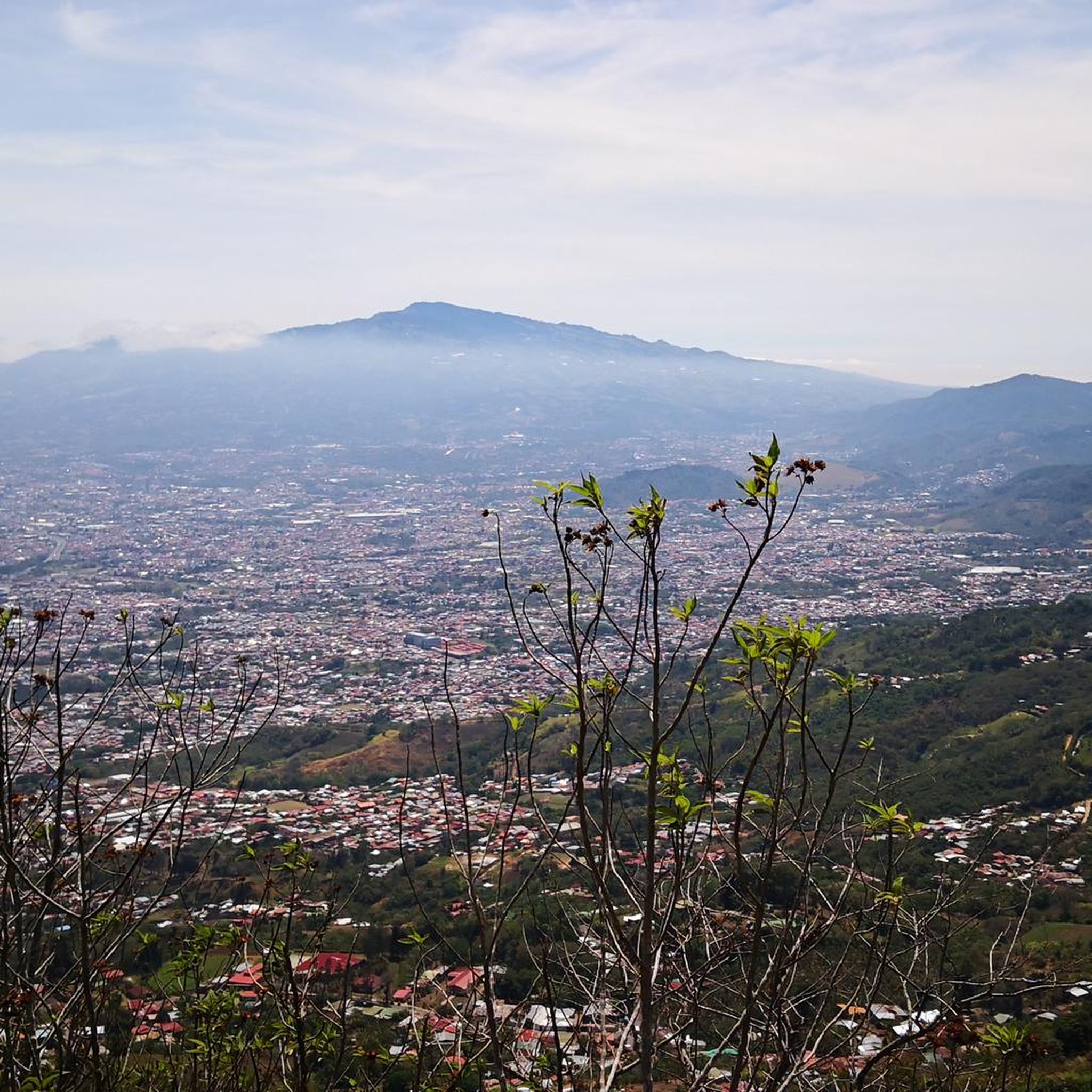
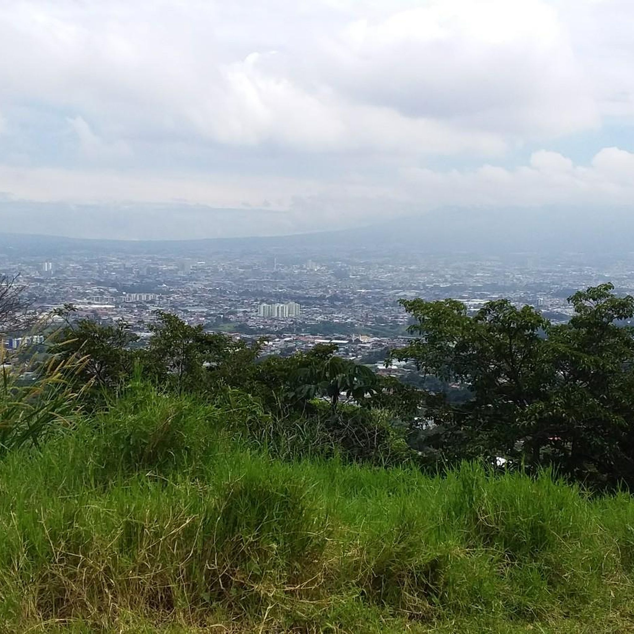
Hiking in Alajuelita is characterized by its mountainous terrain within the Cerros de Escazú range, located southwest of San José. The region features prominent peaks such as Cerro San Miguel and Cerro Piedra Blancas, offering significant elevation gains. Hikers can expect diverse landscapes, including steep ascents and panoramic views of Costa Rica's Central Valley. The area provides opportunities for challenging trails amidst its rugged natural features.
Best hiking trails in Alajuelita
- The most popular hiking route is Cerro Piedra Blancas…
Last updated: July 1, 2026
4.2
(11)
90
hikers
14.0km
03:42
130m
130m
Moderate hike. Good fitness required. Easily-accessible paths. Suitable for all skill levels.
4.0
(3)
78
hikers
Moderate hike. Good fitness required. Easily-accessible paths. Suitable for all skill levels.

Sign up for free
4.2
(5)
45
hikers
Moderate hike. Good fitness required. Easily-accessible paths. Suitable for all skill levels.
4.7
(3)
31
hikers
15.9km
06:31
1,240m
1,240m
Hard hike. Very good fitness required. Easily-accessible paths. Suitable for all skill levels.
4.5
(2)
9
hikers
11.2km
03:27
380m
380m
Moderate hike. Good fitness required. Easily-accessible paths. Suitable for all skill levels.
5.0
(1)
4
hikers
4.13km
01:05
30m
30m
Easy hike. Great for any fitness level. Easily-accessible paths. Suitable for all skill levels.
5.0
(1)
2
hikers
14.2km
05:35
1,030m
1,030m
Hard hike. Very good fitness required. Easily-accessible paths. Suitable for all skill levels.
Our route recommendations are based on thousands of hikes, rides, and runs completed by other people on komoot.
Start today with a free account
Your next adventure awaits.
Login or Signup




Tips from the Community

Public courts in Parque Metropolitano la Sabana with no schedules and open outdoors for everyone!
0
0

The National Theater of Costa Rica is the cultural heart of San José. This magnificent 19th-century building impresses with its neoclassical architecture, marble, frescoes, and gold decorations. Today, it hosts concerts, operas, and guided tours, making it a perfect place for a brief stop in the city. Centrally located, it's a popular meeting point for travelers, locals, and culture enthusiasts alike.
0
0
Asian culinary variety and shops with low-cost products!
0
0

Many restaurants and supermarkets
0
0
There are all kinds of shops here as well as some restaurants and snack bars.
0
0

Tourist site, with no easier access.
1
0

The National Museum was founded in 1887. The building is the former "Bellavista Barracks". It displays collections on national history, archaeology and biodiversity in various permanent and temporary exhibitions. The butterfly house is particularly recommended.
1
0

Frequently Asked Questions
How many hiking trails are available in Alajuelita?
Komoot currently lists over 7 hiking routes in Alajuelita, ranging from moderate to difficult. These trails offer diverse experiences within the mountainous terrain of the Cerros de Escazú.
Are there any easy or beginner-friendly hikes in Alajuelita?
While many trails in Alajuelita involve significant elevation gain, there is at least one easy route available. For those new to hiking in the area, we recommend starting with a moderate trail to get accustomed to the terrain. For example, the National Theatre of Costa Rica – Arts Plaza loop from Ambos Mares is a moderate 8.7-mile (14 km) hike with less elevation change.
What kind of views can I expect on Alajuelita's hiking trails?
Hikers in Alajuelita can expect breathtaking panoramic views, especially from higher elevations within the Cerros de Escazú. Trails leading to peaks like Cerro San Miguel or Cerro Piedra Blancas offer expansive vistas of Costa Rica's Central Valley, making the challenging ascents incredibly rewarding. The View of the Central Valley – Cerro Piedra Blancas Summit loop from San Antonio is specifically known for its extensive views.
Are there any circular hiking routes in Alajuelita?
Yes, Alajuelita offers several circular hiking routes. These loops allow you to experience varied scenery without retracing your steps. A popular option is the Cerro Piedra Blancas Summit – Pico Blanco Rock loop from Alajuelita, which is a challenging 9.9-mile (15.9 km) trail.
What is the best time of year to go hiking in Alajuelita?
The best time for hiking in Alajuelita is generally during Costa Rica's dry season, which runs from December to April. During these months, you'll experience less rain and clearer skies, which are ideal for enjoying the panoramic views. The wet season (May to November) can make trails muddy and challenging, though the landscape is lush.
What should I wear for hiking in Alajuelita, especially during the rainy season?
Given the mountainous terrain and potential for rain, especially during the wet season, it's advisable to wear sturdy hiking boots with good grip. Layered clothing is recommended, including a waterproof or water-resistant jacket. Quick-drying fabrics are also beneficial. Even in the dry season, a light rain jacket can be useful for unexpected showers.
Are there any specific permits required for hiking in Alajuelita?
Generally, no specific permits are required for hiking on the main trails in Alajuelita, such as those leading to La Cruz de Alajuelita or within the Cerros de Escazú. However, it's always a good practice to check for any local regulations or private land access requirements before heading out, especially if venturing off established paths.
What kind of wildlife might I encounter while hiking in Alajuelita?
While Alajuelita is close to an urban area, its mountainous terrain within the Cerros de Escazú can still offer glimpses of local wildlife. You might spot various bird species, small mammals, and insects. Keep an eye out for unique flora as well, as the region's natural features contribute to its biodiversity.
Are Alajuelita's hiking trails suitable for families with children?
Many of Alajuelita's trails involve significant elevation gain and can be quite demanding, such as the 'Rompe Pechos' route to La Cruz de Alajuelita. While some families with older, experienced children might enjoy the challenge, younger children or those new to hiking might find these difficult. Look for shorter, less steep sections or consider the easier routes available.
Is parking available at the trailheads in Alajuelita?
Parking availability can vary depending on the specific trailhead. For popular starting points, especially those leading to well-known attractions like La Cruz de Alajuelita, you may find designated parking areas or roadside parking. It is advisable to research your specific starting point beforehand or consider using public transport where available.
Can I reach Alajuelita's hiking trails using public transport?
Alajuelita is located southwest of San José, and public transport options, primarily buses, connect it to the capital and surrounding areas. While you can likely reach the general vicinity of Alajuelita by bus, access to specific trailheads might require a short taxi ride or a walk from the nearest bus stop. Planning your route with local bus schedules is recommended.
What do other hikers enjoy most about hiking in Alajuelita?
The hiking routes in Alajuelita are highly rated by the komoot community, with an average score of 4.7 stars from over 25 reviews. Hikers frequently praise the challenging ascents, the rewarding panoramic views of the Central Valley, and the rugged natural beauty of the Cerros de Escazú. The sense of accomplishment after tackling a demanding trail is also a common highlight.
Are there any 'hidden gem' trails or less-known spots in Alajuelita?
While the trails to prominent peaks like Cerro San Miguel and Cerro Piedra Blancas are well-known, exploring the broader network within the Cerros de Escazú can reveal less-trafficked paths. These might offer a more secluded experience amidst the mountainous terrain. The Costa Rica Sign – The Hand of Mantra loop from Santa Ana, for example, offers varied terrain and is a moderate option.

Get inspired with the komoot mobile app


Didn’t find what you were looking for?
Check out more Hikes throughout Alajuelita below and find the perfect route in your destination.
Explore more
Browse the best Hikes in other regions.
